1 Mo 5.0 02:27:35 (6 mph)
This is an automatic translation, the original language is: Dutch.
Show original
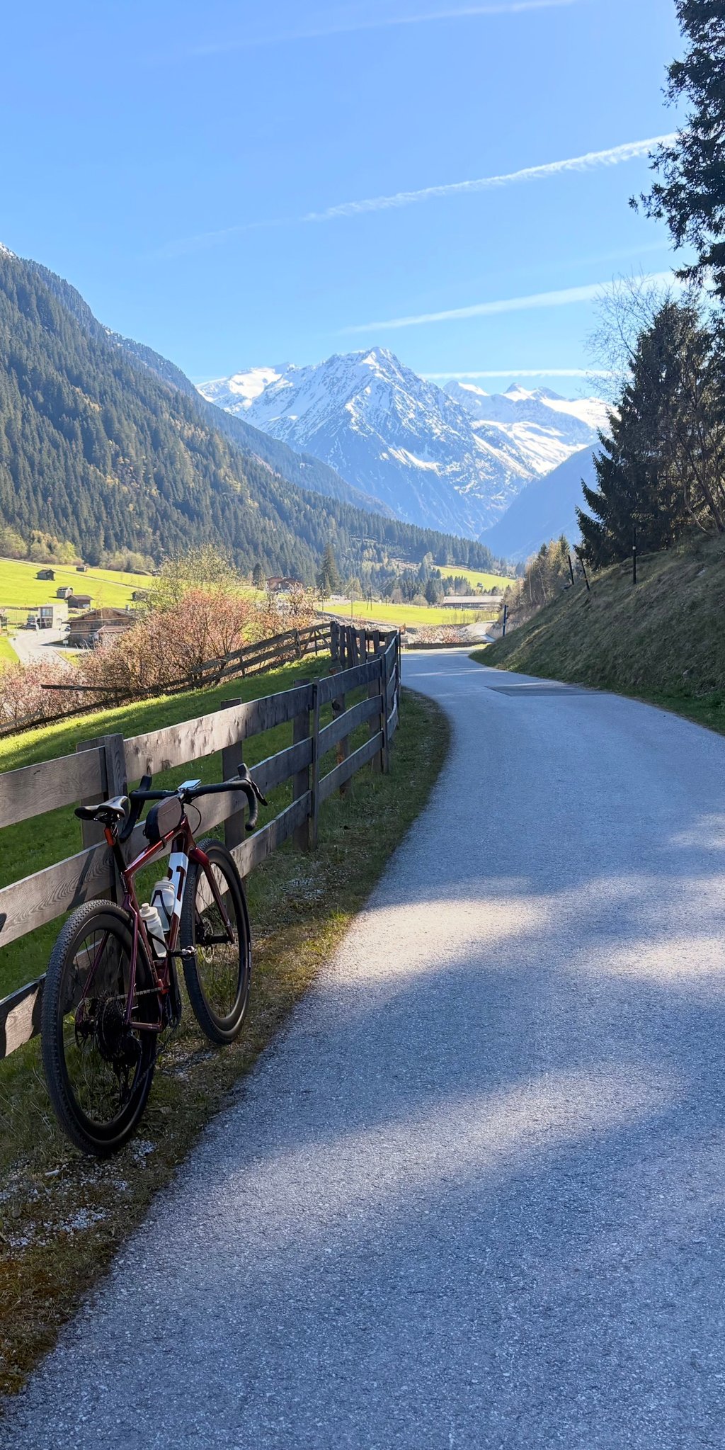
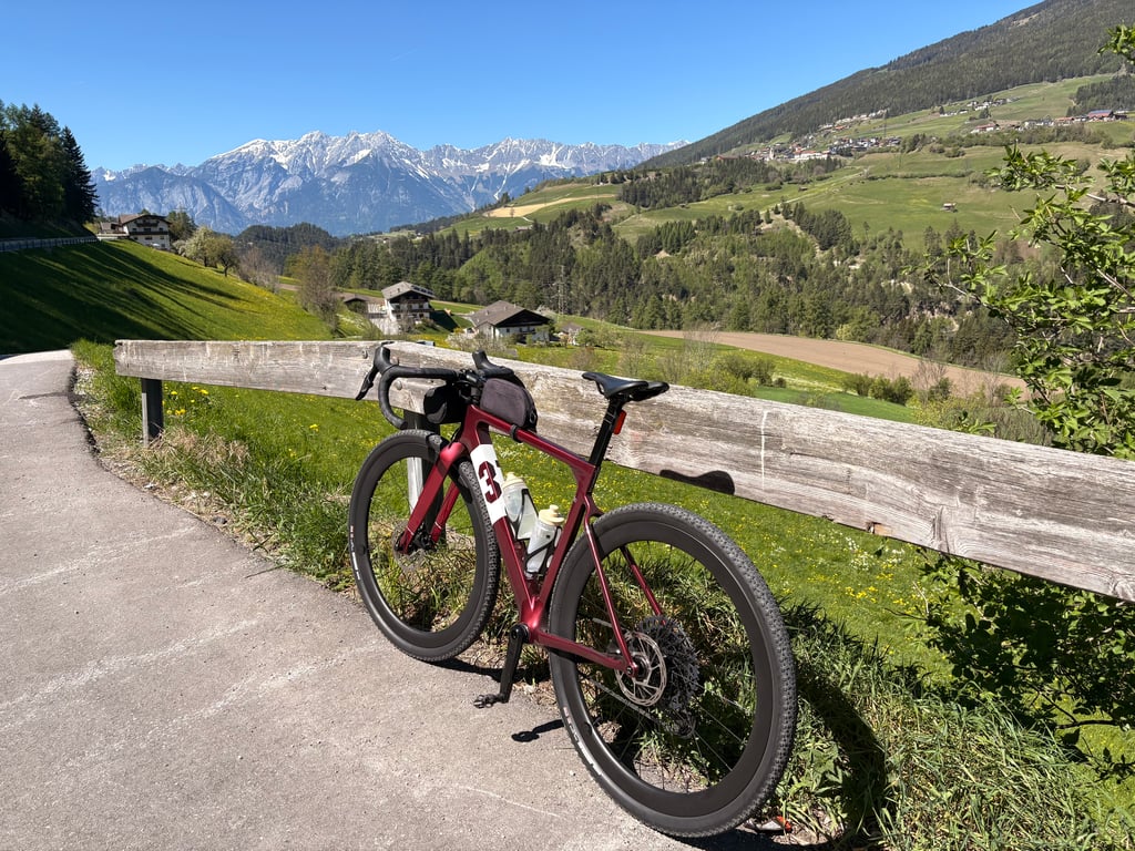
The valley starts at the Stephansbrücke and not in Neustift, as most people below claim. The brand new bike path lends itself perfectly to cycling over 80 kilometers (there and back), with about 2,000 elevation gain. This is because the new bike section is constructed with a trapezoidal shape and a gradient of 9%. Then the road slopes pleasantly as you ride up false flat from Fulpmes, after which the actual ascent begins at the foot of the bike path to Schlick 2000.
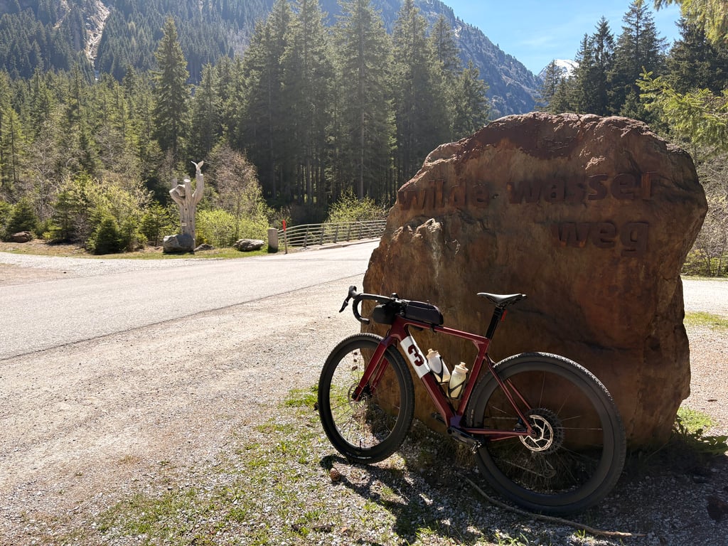
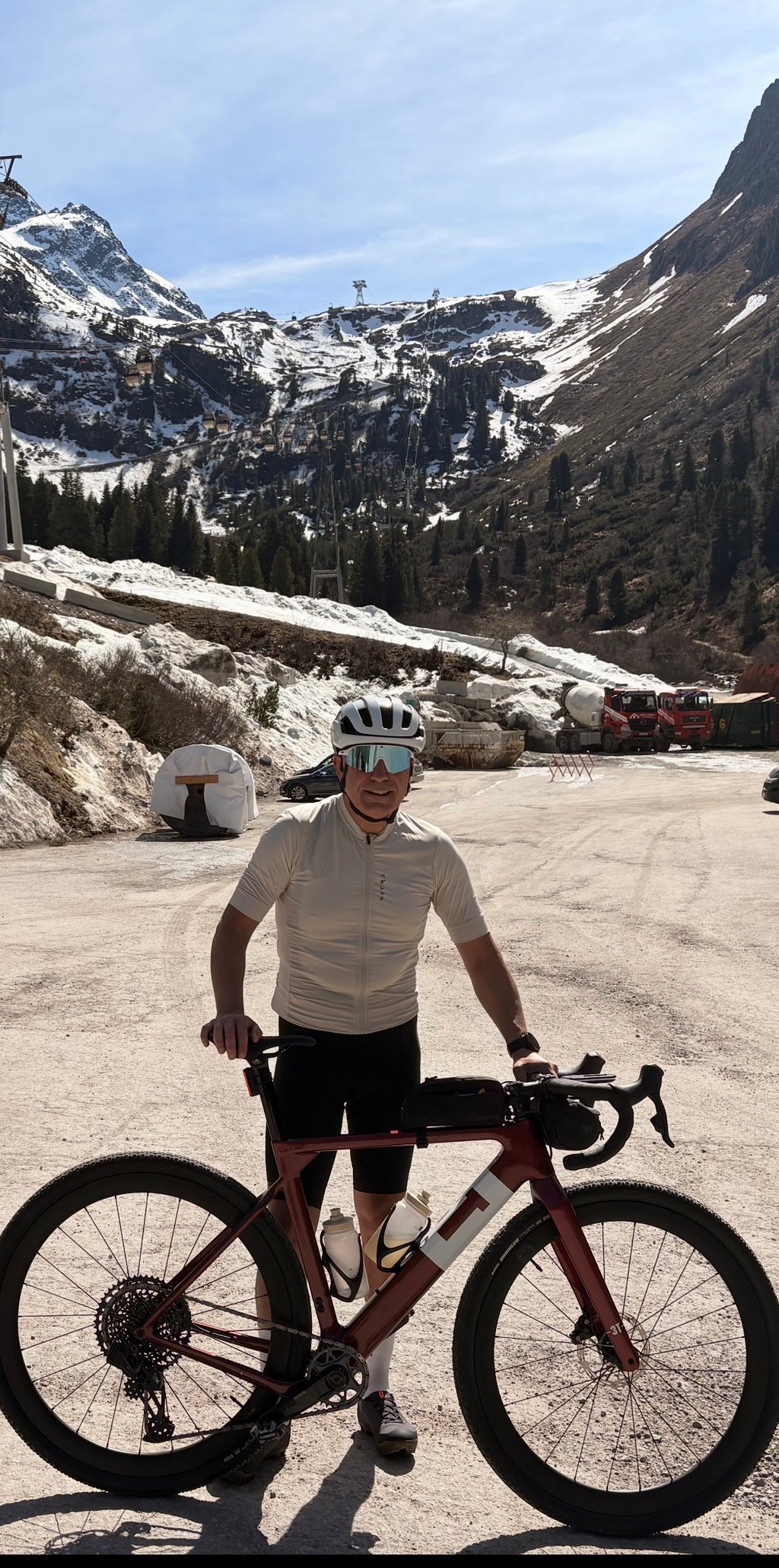
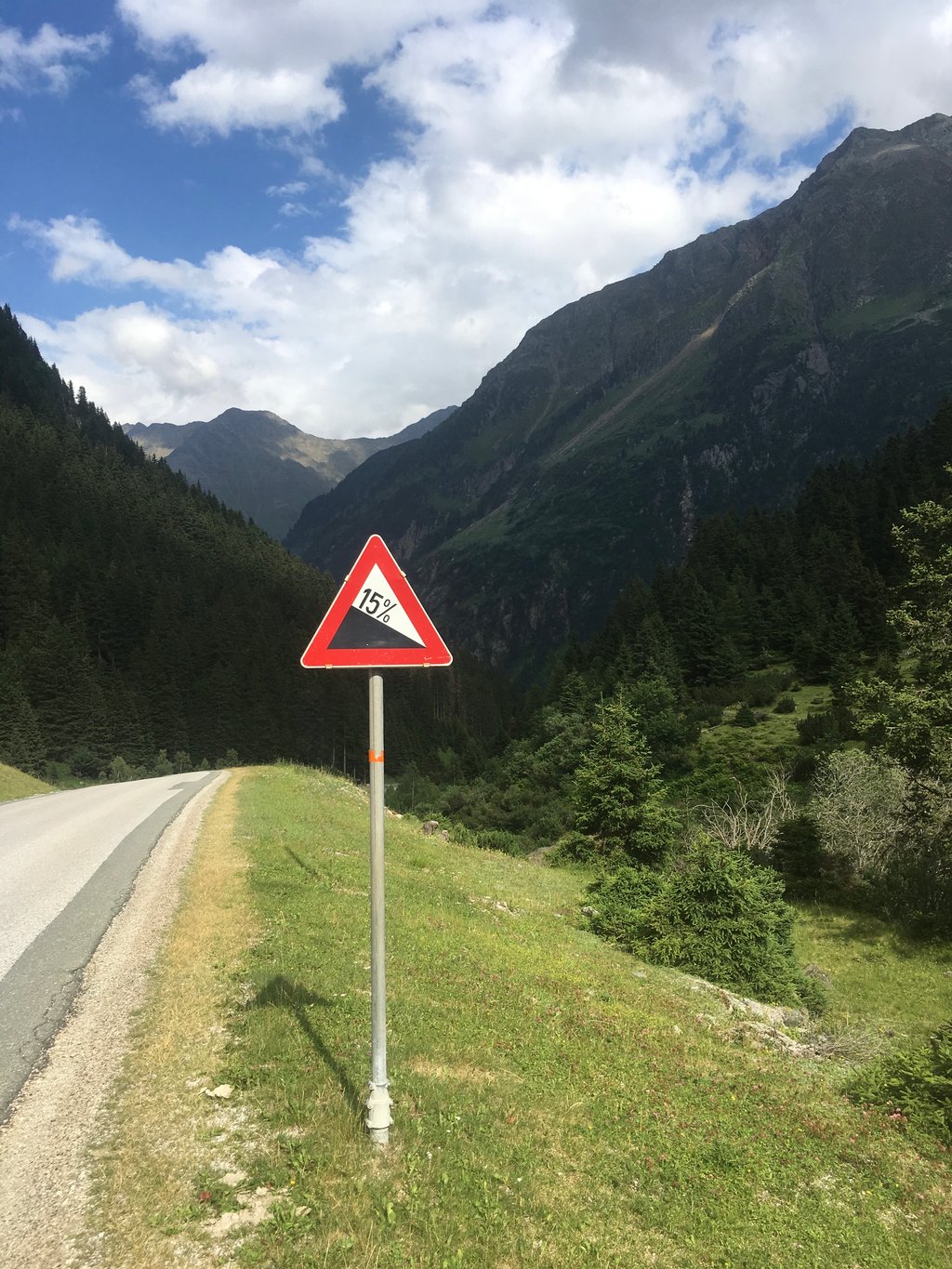
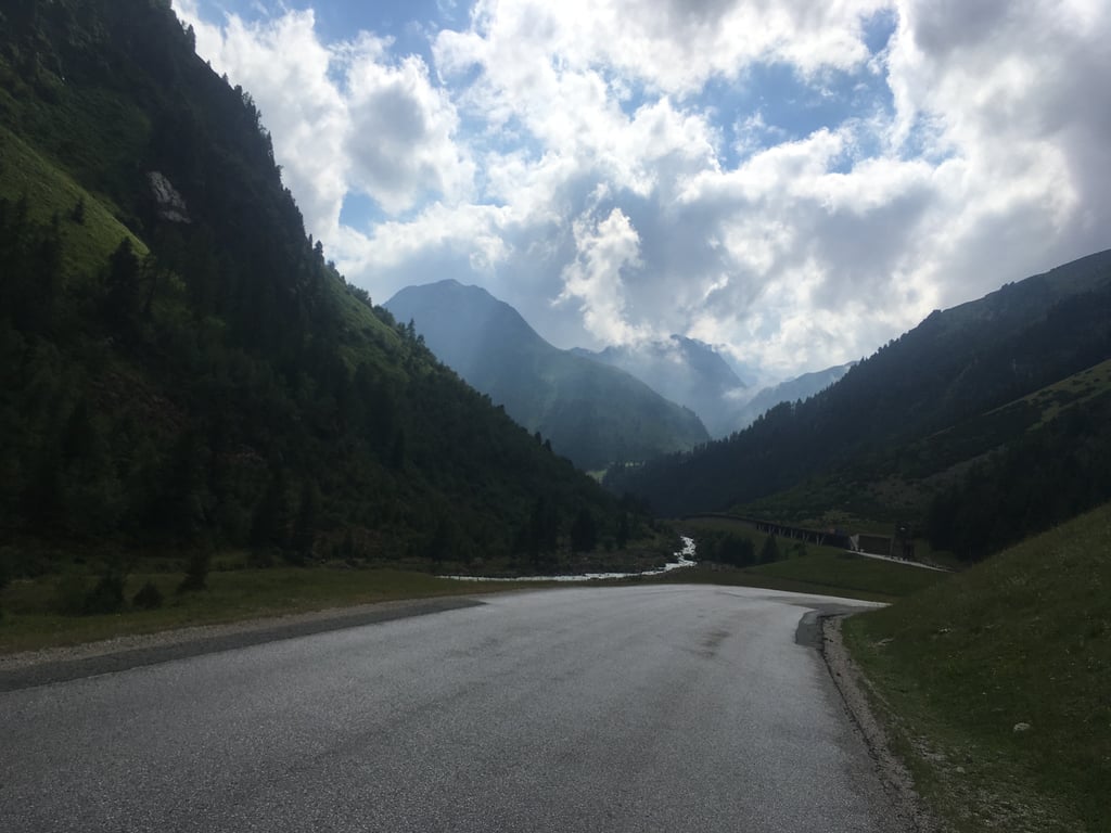
You then cycle with beautiful views towards the glacier, through several passages, until past Camping Edelweiß you slowly start to climb with a maximum gradient of 15% in some sections. The road is wide, so traffic hardly bothers you - and it gets less and less towards the Mutterbergs. You drive all the way to the back of the parking lot to the base of the glacier and then find yourself at an altitude of 1,745 meters - it stops there.
Contrary to what the Dutch write below, this route is often used by professionals as training, as it contains considerable altimeters. Moreover, you can use the bike path, which is in perfect condition, up to the first tunnel - and so, contrary to what is claimed below, it is not a freeway.
P.S.: I have been living in the Stubaital for more than seven years.
.
Het dal begint bij de Stephansbrücke en niet in Neustift, zoals de meeste mensen hieronder beweren. Het gloednieuwe fietspad leent zich uitstekend om ruim 80 kilometer te fietsen (heen en terug), met circa 2.000 hoogtemeters. Dit komt doordat het nieuwe fietsgedeelte is aangelegd met een trapezevorm en een stijgingspercentage van 9%. Vervolgens glooit de weg aangenaam af wanneer je vanuit Fulpmes vals vlak omhoog rijdt, waarna de eigenlijke stijging begint aan de voet van het fietspad naar Schlick 2000.
Je fietst dan met prachtige vergezichten richting de gletsjer, door verschillende passages, totdat je voorbij camping Edelweiß langzaam begint te stijgen met een maximale helling van 15% op sommige stukken. De weg is breed, dus van het verkeer heb je nauwelijks last — en dat wordt richting de Mutterbergs steeds minder. Je rijdt tot helemaal achter aan de parkeerplaats tot de voet van de gletsjer en bevindt je dan op 1.745 meter hoogte — daar houdt het op.
In tegenstelling tot wat de Nederlanders hieronder schrijven, wordt deze route vaak door professionals gebruikt als training, omdat er aanzienlijke hoogtemeters in zitten. Bovendien kun je het fietspad, dat in perfecte staat verkeert, gebruiken tot aan de eerste tunnel — en is het dus, anders dan hieronder wordt beweerd, geen autoweg.
P.S.: Ik woon al ruim zeven jaar in het Stubaital
.