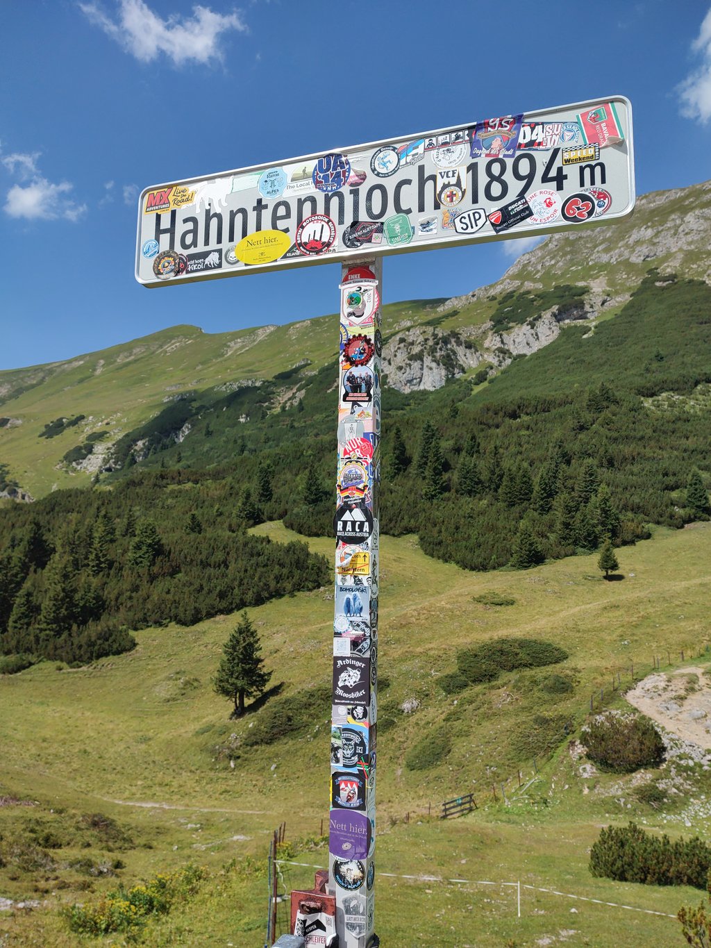
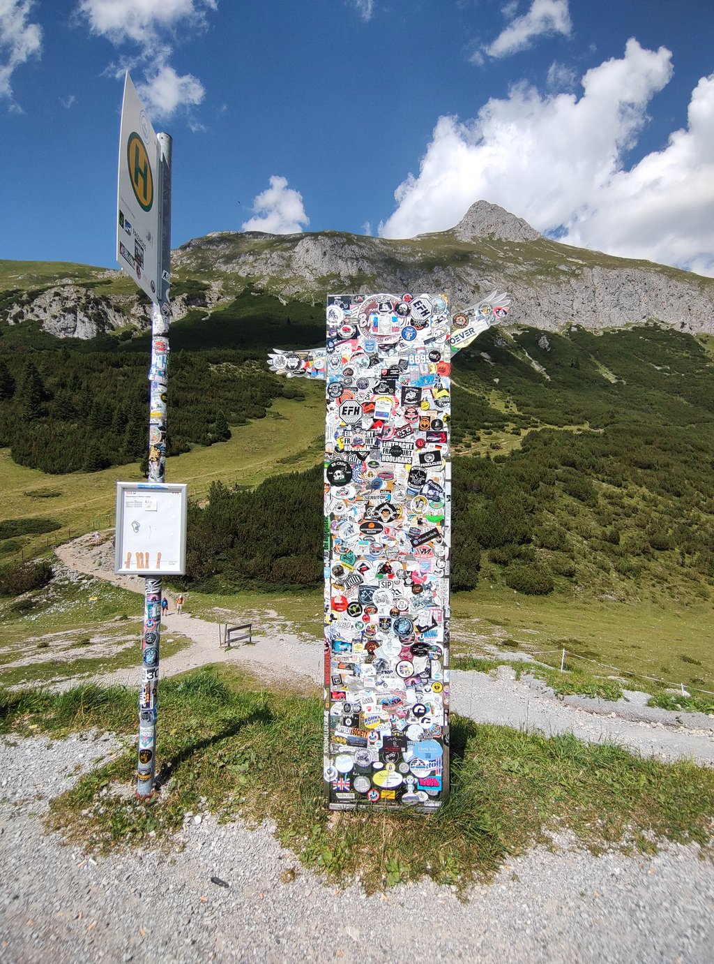
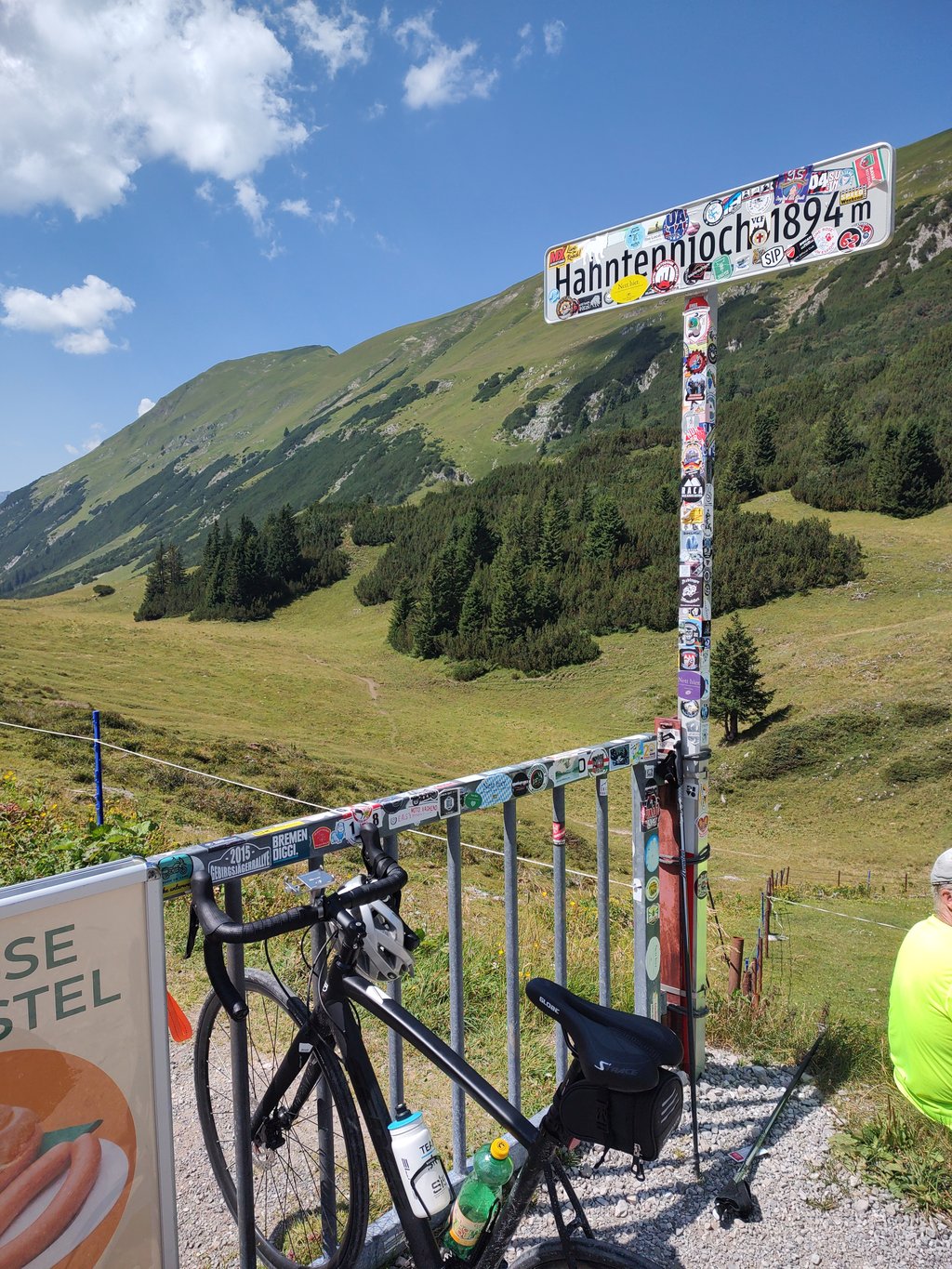
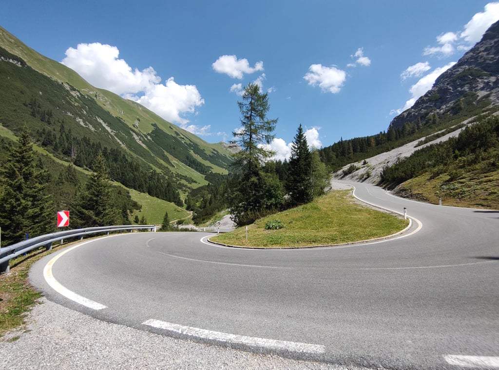
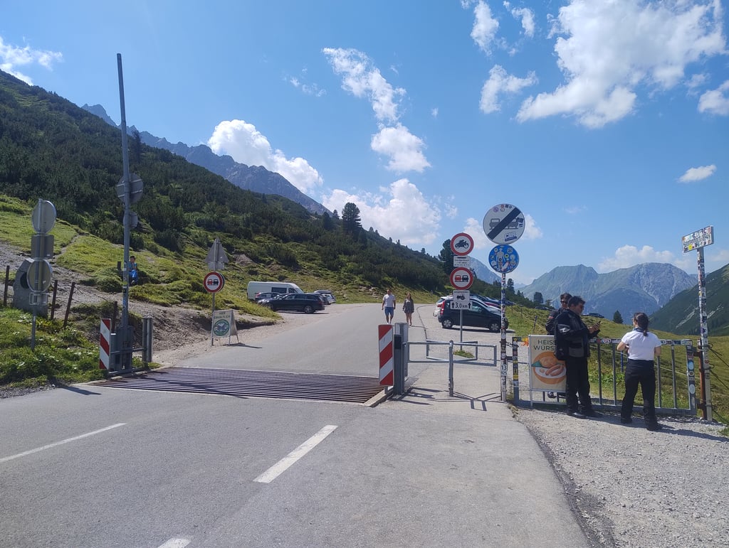
Hahntennjoch from Elmen is a climb in the region Tyrol. It is 9.1 mi long and bridges 3077 ft of vertical ascent with an average gradient of 6.4%, resulting in a difficulty score of 833. The top of the ascent is located at 6214 ft above sea level. Climbfinder users shared 5 reviews of this climb and uploaded 25 photos.
This is an automatic translation, the original language is: English.
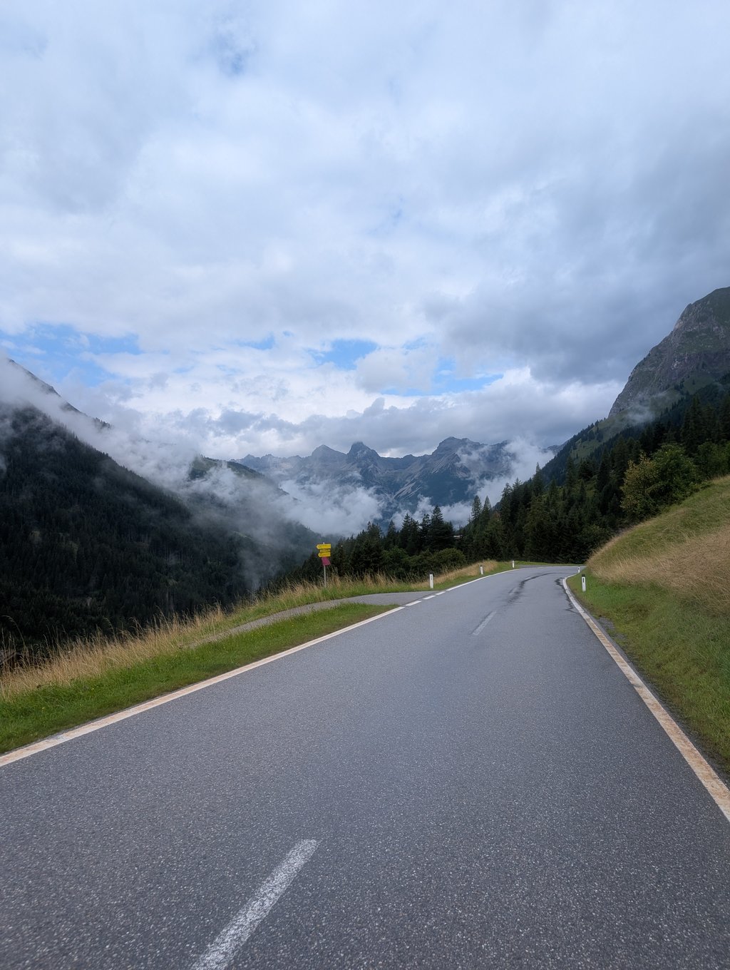
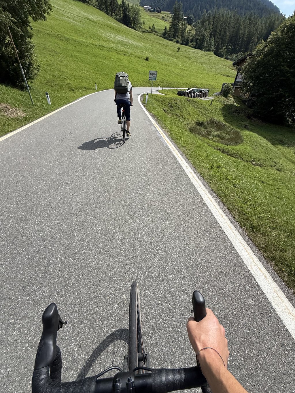
Road is good most of the time. There are two long (400m) tunnels, but with lights, although I'd still recommend you have your own lights, especially rear.
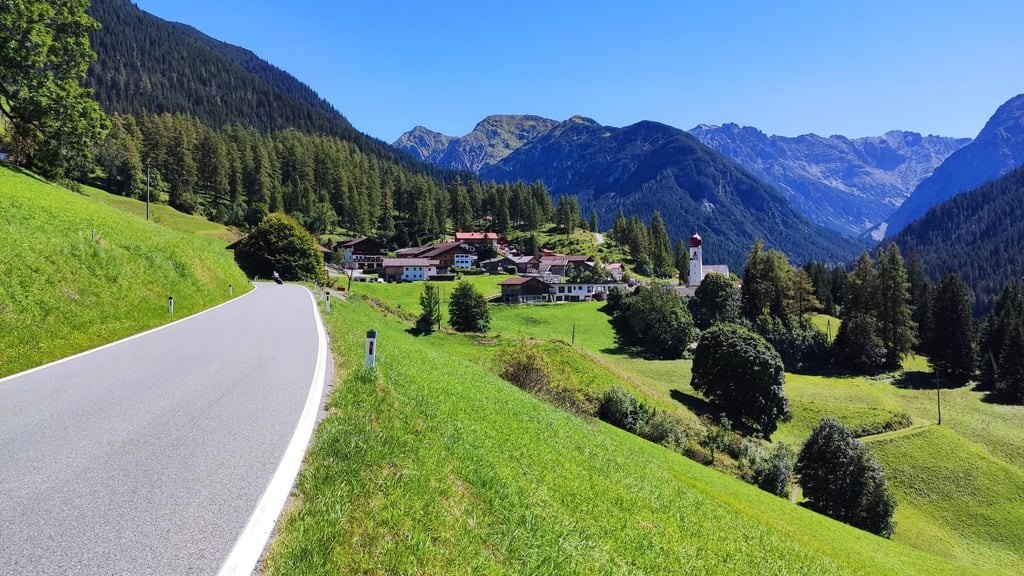
There's a section of straight road right at the middle of the climb, with a small village, great for a bit of rest.
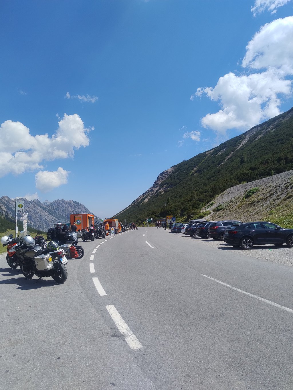
A lot of traffic, especially motorcycles. The views are actually better along the way, the summit itself isn't that spectacular....read more
Photos (25)
Welcome! Please activate your account if you would like to share something. Look for the verification email in your inbox.
Road is good most of the time. There are two long (400m) tunnels, but with lights, although I'd still recommend you have your own lights, especially rear.
There's a section of straight road right at the middle of the climb, with a small village, great for a bit of rest.
A lot of traffic, especially motorcycles. The views are actually better along the way, the summit itself isn't that spectacular.
This is an automatic translation, the original language is: Dutch.
Show original
Ridden on a Thursday evening in late July, very little traffic! The start is steep and the last 5km are steep too making it nice and hard, in between it is easy and there are two short descents. After the turnoff to Boden, the real work starts and it's an average of 9.8% to the pass. Only downside, the sign of the pass (on top of the pass) was gone haha.
Gereden op een donderdagavond eind juli, erg weinig verkeer! Het begin is steil en de laatste 5km zijn ook steil waardoor het lekker zwaar is, daartussen is het gemakkelijk en zitten er twee korte stukjes dalen in. Na de afslag naar Boden begint het echte werk en is het gemiddeld 9.8% voor tot de pas. Enige minpunt, het bordje van de pas (bovenop de pas) was weg haha.
This is an automatic translation, the original language is: Dutch.
Show original
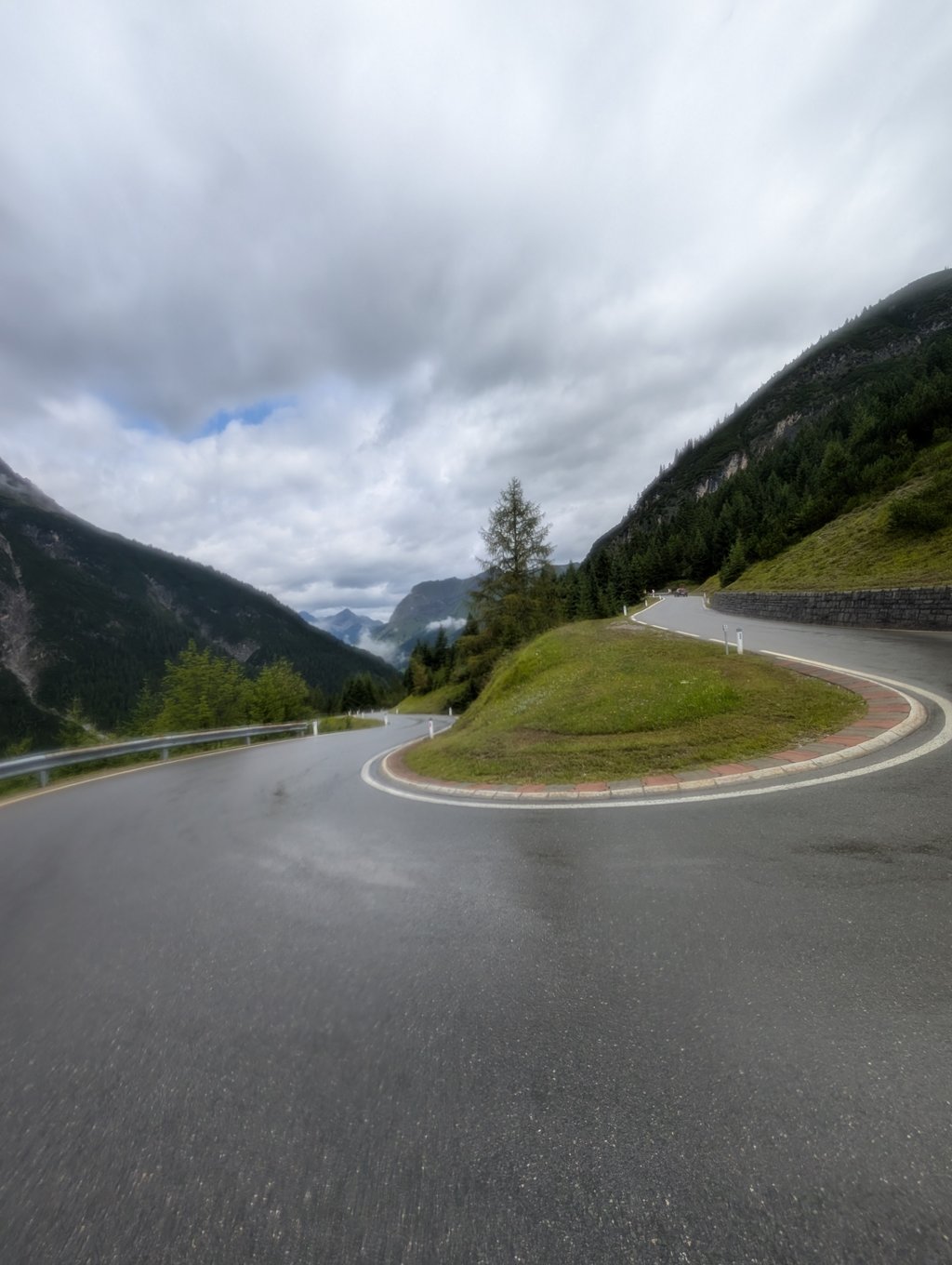
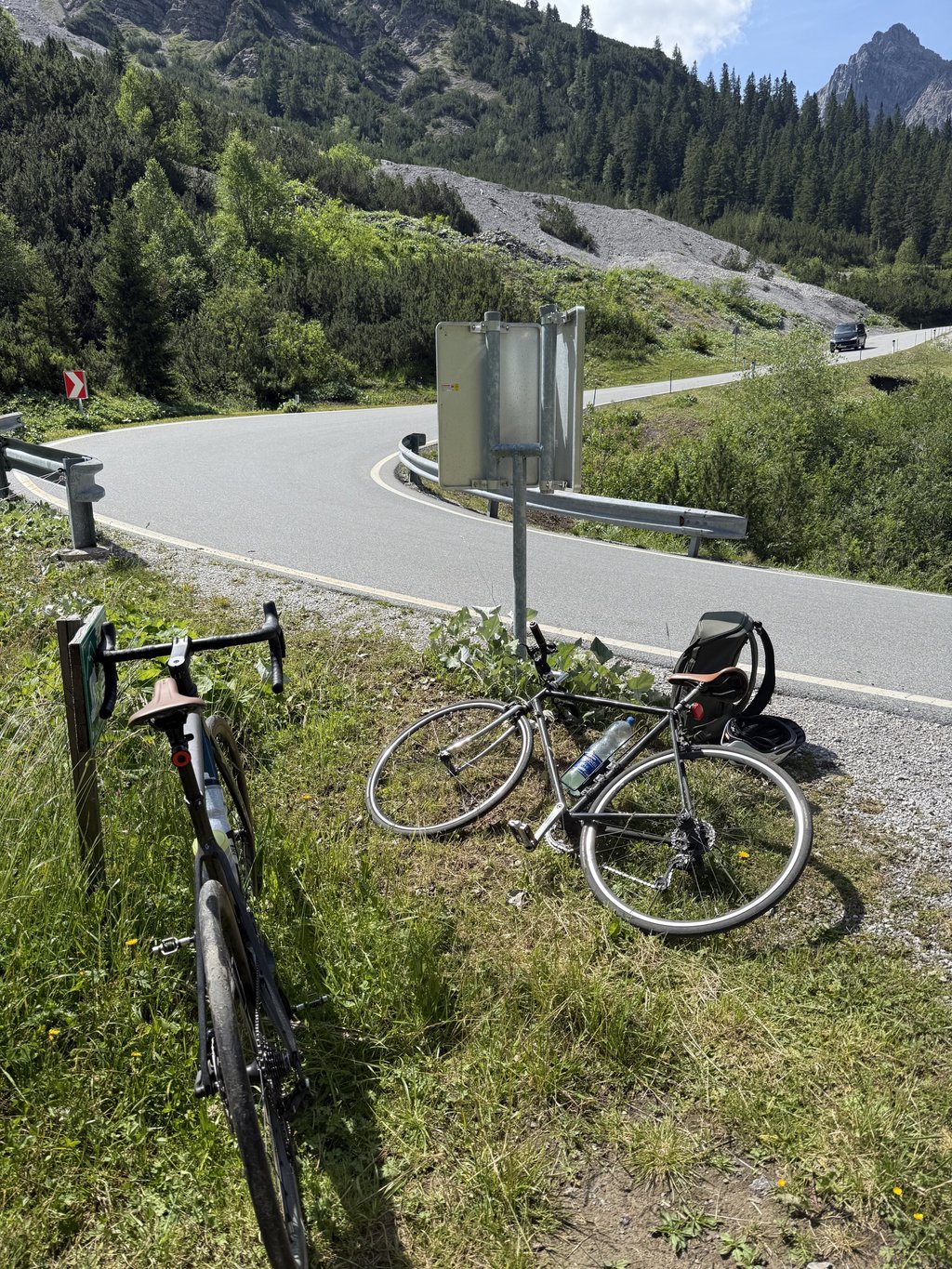
Fairly busy road due to the many tourists who want to enjoy the fantastic scenery. From the Boden exit the road winds up with many hairpin bends and steep gradients. The profile as indicated here does not lie at all.
Excellent and smooth running asphalt. The descent towards Imst has some very fast parts and nice technical sections. Enjoyable but tough.
Redelijk drukke weg door de vele toeristen die van het fantastische landschap willen genieten. Vanaf de afslag Boden kronkelt de weg zich met vele haarspeldbochten omhoog met forse stijgingspercentages. Het profiel zoals hier aangegeven liegt absoluut niet.
Prima en mooi lopend asfalt. De afdaling richting Imst heeft een aantal hele snelle stukken erbij zitten en mooie technische gedeelten. Kortom genieten maar wel zwaar.
This is an automatic translation, the original language is: Dutch.
Show original
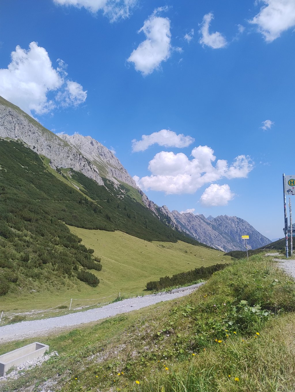
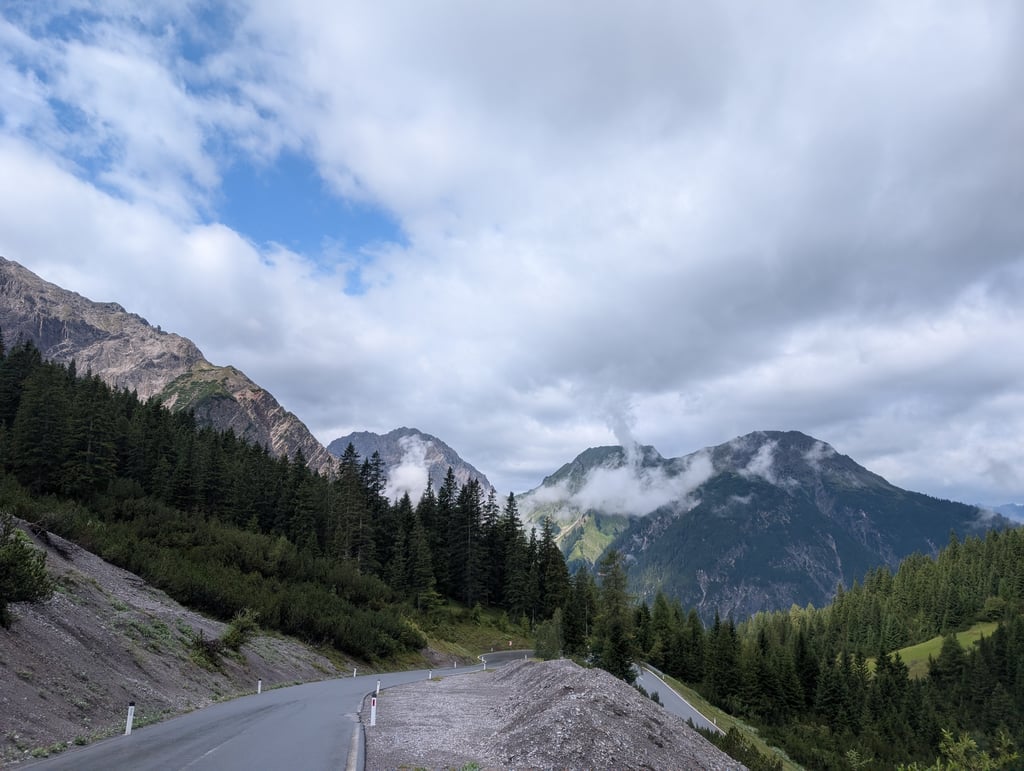
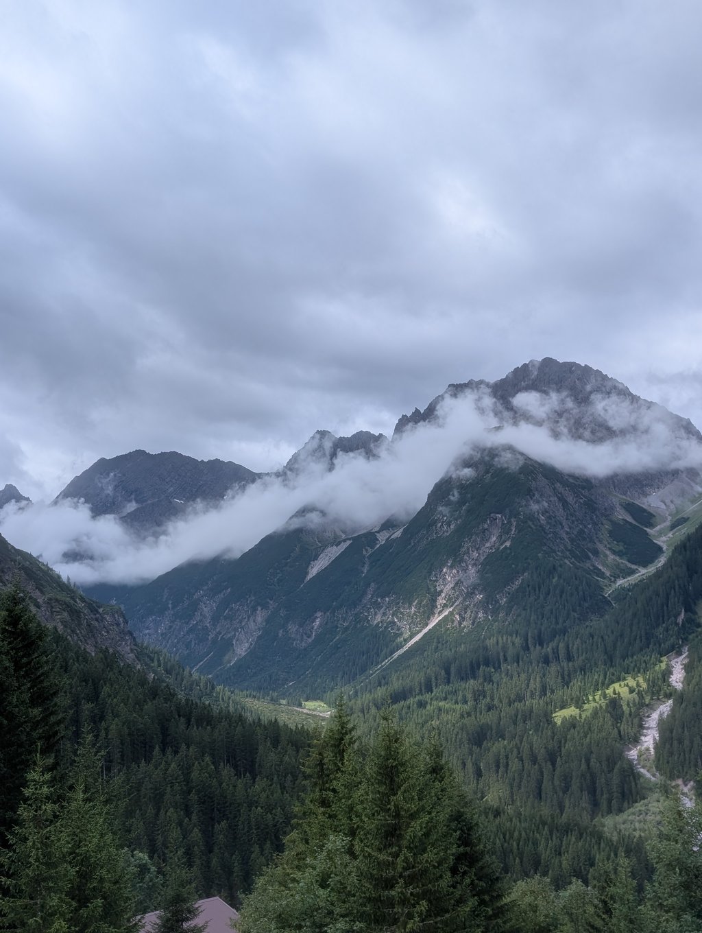
Certainly a hidden gem, but the big disadvantage is the crowds in combination with narrow winding roads. Especially when there are large traffic jams on the Fernpas, many traffic choose this route to and from Imst. And also motards know the climb to find. But the climb itself is spectacular. It already starts with the view of the first kilometer of the climb. From afar you can already see the perpendicular rock face, along which a road rises steeply. The trained cyclist knows that appearances are often deceptive in these cases: certainly a tough start, but doable. The climb then immediately weakens and you cycle along a deeply eroded wild river along a mountain wall, also through a number of tunnels. The real climb starts in Boden, where you turn left back up. From there the final chord begins: on average in the double digits with some parts that give room for rest, but also some very steep parts. It is capricious with some crazy bends. The toughest part is near a village, where you have to climb above 15 km/h on a long straight. I did the climb in drizzling weather, but I guess the landscape is very beautiful and rough. Luckily for us, the sun broke through at the top and that gave a very nice picture. Magnificent views of the surrounding peaks of around 2500-3000 meters, but also of the long straight first part of the descent. Really a must-do in this area and not to be underestimated.
Zeker een verborgen juweeltje, maar het grote nadeel is wel de drukte in combinatie met smalle bochtige wegen. Zeker bij grote files op de Fernpas kiest veel verkeer voor deze route van en naar Imst. En ook motards weten de klim te vinden. Maar de klim zelf is spectaculair. Het begint al met het aanzicht van de eerste kilometer van de klim. Van verre zie je al de loodrechte rotswand, waarlangs een weg steil omhoog loopt. De getrainde fietser weet dat schijn in dit soort gevallen vaak bedriegt: zeker een stevige start, maar goed te doen. De klim zwakt daarna direct af en je fietst langs een diep uitgesleten wildstromende rivier langs een bergwand, ook door een aantal tunnels. De echte klim begint in Boden, waar je links terug omhoog draait. Vanaf daar begint het slotakkoord: gemiddeld in de dubbele cijfers met wel stukken die ruimte voor rust geven, maar dus ook hele steile stukken. Het is grillig met een aantal gekke bochten. Het zwaarste stuk zit bij een dorpje, waar je boven de 15% aantikt op een lang recht stuk. Ik heb de klim in druilerig weer gedaan, maar ik vermoed dat het landschap heel mooi en ruig is. Op de top brak voor ons gelukkig de zon door een dat gaf wel een heel mooi plaatje. Prachtig uitzicht op omliggende pieken die rond de 2500-3000 meter liggen, maar ook op het lange rechte eerste stuk van de afdaling. Echt een must-do in deze omgeving en niet te onderschatten.
Hahntennjoch from Elmen is a challenging ascent. For this type of climbing, we recommend mountain gearing, specifically a compact system. This means a small front chainring of 34 teeth, combined with a rear cassette where, depending on your level, strength, and experience, you choose a sprocket with 30, 32, or even 34 teeth. Remember that a smooth cadence is always more efficient!
Hahntennjoch from Elmen is a first-category climb: long and tough. Do not underestimate this climb. Many famous Tour de France cols fall into this category. Prepare for a long, challenging ride. Only well-trained riders will reach the top smoothly. Make sure you have a road bike with climbing gears and enough training; otherwise, it will be a struggle.
Hahntennjoch from Elmen is 9.1 mi long.
The average gradient of Hahntennjoch from Elmen is 6.4%.
Hahntennjoch from Elmen has a steepest segment with an average gradient of 13.4%.
The summit of Hahntennjoch from Elmen is at 6214 ft.
At a slow pace of 5 mph, it takes about 01:50:14 to climb Hahntennjoch from Elmen. At 7 mph the time is 01:18:02, and at 9 mph 01:00:49. For the fastest cyclists, 00:45:41 is an achievable time.
Hahntennjoch from Elmen is located in the region Tyrol in Austria.