Tips nearby


Col de la Loze from Méribel is a climb in the region Savoie. It is 6.3 mi long and bridges 2854 ft of vertical ascent with an average gradient of 8.5%, resulting in a difficulty score of 882. The top of the ascent is located at 7556 ft above sea level. Climbfinder users shared 13 reviews of this climb and uploaded 30 photos.
Road names: Route de l'Agentila, Route de l'Altiport, Route du Belvédère & Route du Col de la Loze
5.0 by TitouanThis is an automatic translation, the original language is: French.What a great climb! Stunning scenery. The trail is perfect, offering a sense of peace like no other. Despite the steep slopes and constant gear changes, this climb is a must-do! ... read more
Welcome! Please activate your account if you would like to share something. Look for the verification email in your inbox.
If you want to upload your photos, you need to create an account. It only takes 1 minute and it's completely free.
What a great climb! Stunning scenery. The trail is perfect, offering a sense of peace like no other. Despite the steep slopes and constant gear changes, this climb is a must-do!
Super ascension ! Cadre magnifique. Piste idéale, d'une sérénité sans équivalent. Malgré les pentes sévères et les changements de braquets constants, cette ascension est à faire absolument !
A very uneven climb with steep gradients. The final, more or less straight section at the summit, almost 2km long, seems never-ending!
Montée très irrégulière avec de forts pourcentages. La dernière portion plus ou moins en ligne droite au sommet sur près de 2km semble interminable !
A really difficult climb if you don't use the right gear. The very steep sections break the rhythm and make it difficult to get going again on the flatter sections. On the other hand, the road and the views are magnificent. Much more difficult side than Courchevel.
Montée vraiment difficile si le braquet n'est pas adapté. Les portions très raides viennent casser le rythme, et rendent difficiles les relances sur les parties plus "plates". Par contre la route et la vue sont magnifiques. Coté bien plus difficile que celui de Courchevel.
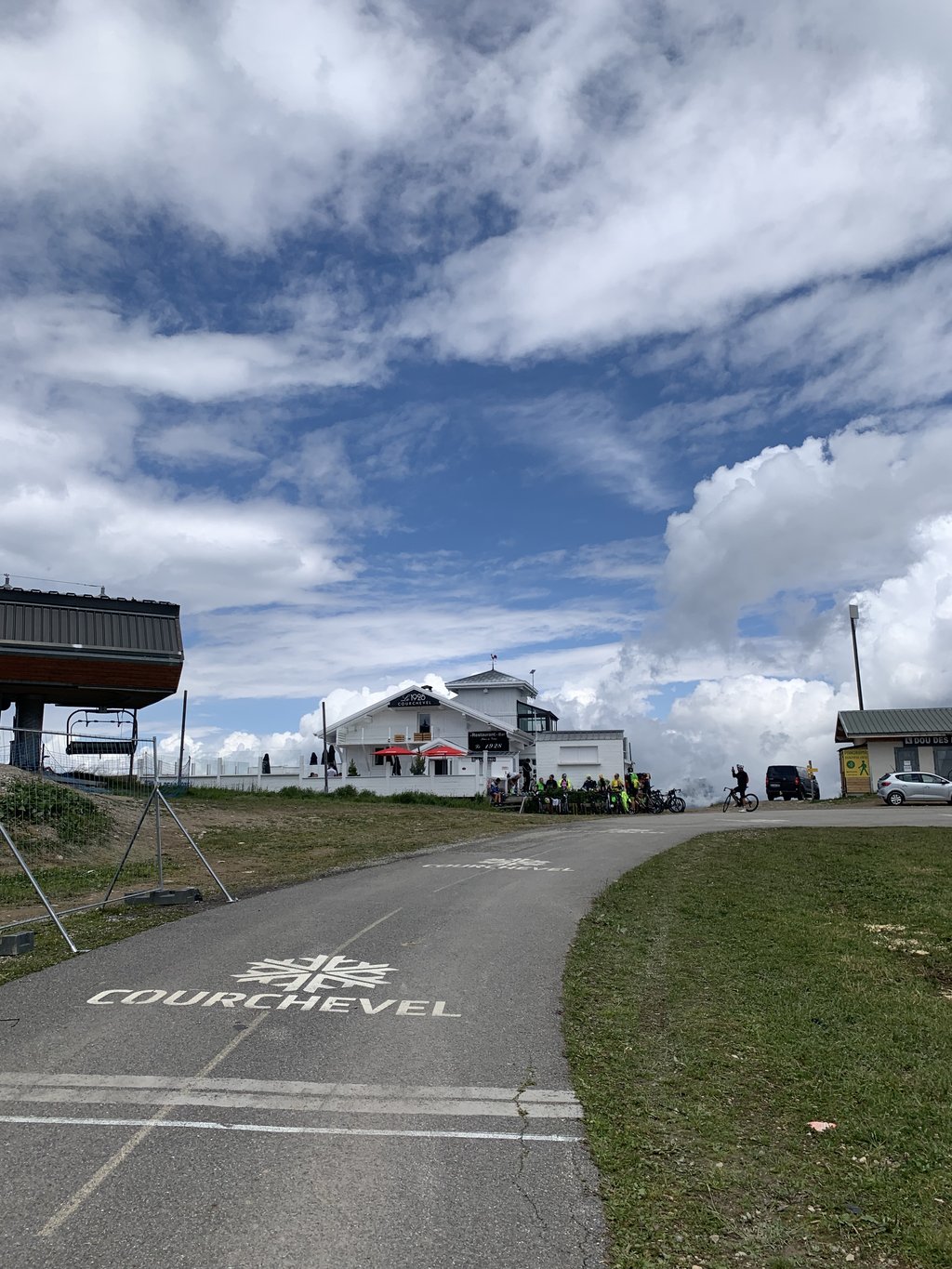
At the moment, it's better to go up on the Meribel side (dirty road) and come down on the Courchevel side (clean road).
actuellement il vaut mieux monter coté Meribel (route sale) et redescendre coté Courchevel (route propre)
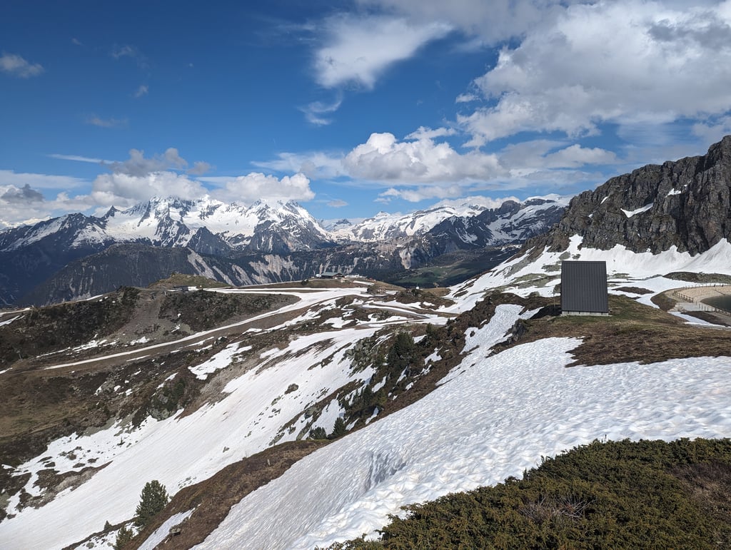
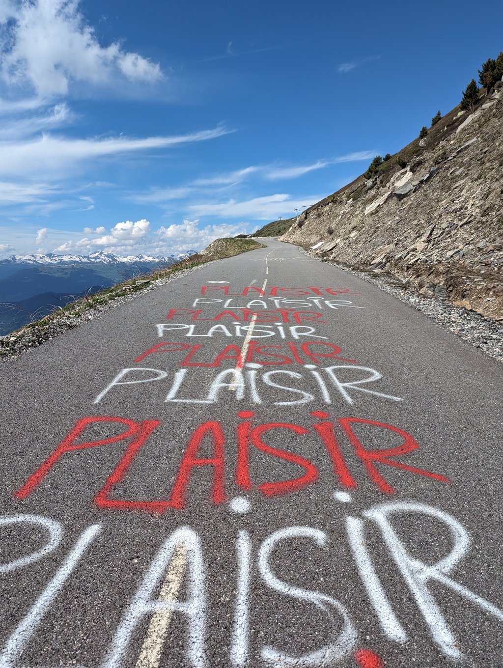
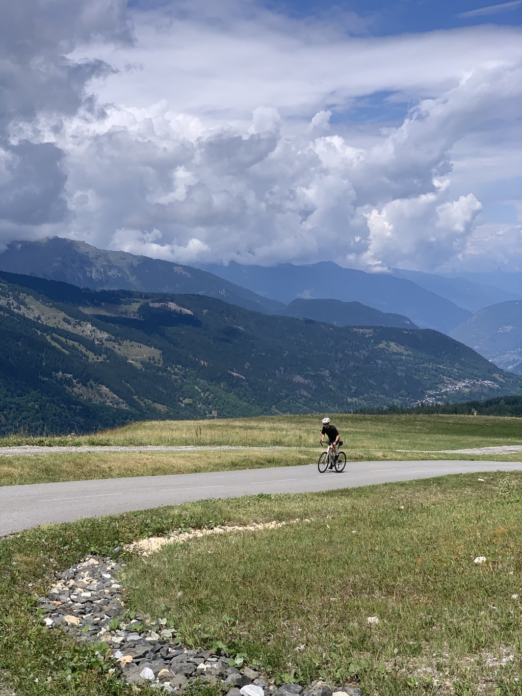
Little to add to the other reviews. The bike path where the climb in Méribel starts is a bit of a search. And what you're served after that doesn't have much to do with cycling. :-) Flat sections alternate with incredibly steep sections. Totally impossible to get into a rhythm. Fortunately, on one of the steep sections there was 'plaisir' written on the road, so I could remind myself that I'm doing this for fun. But at the top, the view was fantastic! We were there quite early in the year and could not descend to Courchevel due to the snow, but those many snow-covered peaks made it truly magical up there.
Weinig toe te voegen aan de andere reviews. Het fietspad waar de klim in Méribel start is even zoeken. En wat je daarna voorgeschoteld krijgt heeft niet veel meer met fietsen te maken. :-) Vlakke stukken worden afgewisseld met ongelooflijk steile stukken. Totaal niet mogelijk om in een ritme te komen. Gelukkig stond er op een van de steile stukken 'plaisir' op de weg geschreven, zodat ik mezelf er aan kon herinneren dat ik dit voor mijn plezier doe. Maar bovenop de top was het uitzicht fantastisch! We waren er vrij vroeg in het jaar en konden door de sneeuw niet afdalen naar Courchevel, maar die vele besneeuwde bergtoppen maakte het echt magisch daar boven.
The col starts as a nice runner, but once after the village of Méribel, the road becomes unsociably steep. Use the villages to catch your breath rather than speed up above your threshold. Once at the top, the pain is eased by the beautiful views that surround you! If you think you've read up, the severity can certainly still disappoint you.
De col begint als een mooie loper, maar eenmaal na het dorp Méribel wordt de weg ongezellig steil. Gebruik de dorpjes om op adem te komen in plaats van de snelheid boven je threshold op te voeren. Eenmaal boven wordt de pijn verzacht door de prachtige uitzichten die je omringen! Als je denkt je ingelezen te hebben, kan de zwaarte je zeker nog tegen vallen.
I did it today from Meribel (actually I started from la Plagne Tarentaise. The last 6 kilometres are devastating with gradients of up to 18% so much so that in two or three places I had to descend. But once in a coma, the satisfaction is great for having arrived anyway
Io l'ho fatta oggi da Meribel(in realtà sono partito da la Plagne Tarentaise). Gli ultimi 6 chilometri sono devastanti con pendenze che arrivano fino al 18% tanto che in due o tre punti sono dovuto scendere. Ma una volta in cima la soddisfazione è tanta per essere comunque arrivati
Ridden on 24/06/2024 as part of the Granfondo Col de la Loze route that I absolutely wanted to ride alone to enjoy the surroundings to the maximum. That day I rode to the Col de la Loze twice (once from Meribel and as the conclusion of the 117km - 4350hm course from Courchevel).
Col de la Loze from Meribel is MEGA ! From Brides-Les-Bains to Meribel is not always fun because of the busy (truck) traffic but once you ride onto the bike course in Meribel you have peace of mind. It starts briskly right away and continues so until the col. In the beginning there are occasional less steep sections where you can catch your breath but the last kilometre takes everything out of you with a very last 50m section at 24%.
Watch out for the barrier as you descend along the Courchevel side !!!
Gereden op 24/06/2024 als onderdeel van de Granfondo Col de la Loze route die ik absoluut alleen wou rijden om maximaal te genieten van de omgeving. Die dag reed ik twee keer naar de Col de la Loze (een keer vanuit Meribel en als afsluiter van het 117km - 4350hm parcours vanuit Courchevel).
Col de la Loze vanuit Meribel is MEGA ! Vanuit Brides-Les-Bains tot Meribel is niet altijd leuk vanwege het drukke (vracht-)verkeer maar eens je het fietsparcours in Meribel op rijd heb je rust. Het begint meteen stevig en dat gaat zo door tot de col. In het begin zijn er af en toe nog minder steile stroken waar je even op adem kan komen maar de laatste kilometer haalt alles uit je met een allerlaatste 50m strook aan 24%.
Opgelet voor de slagboom als je af daalt langs de Courchevel kant !!!
Ridden it today after climbing from Courchevel earlier this week. It is indeed a bit steeper...up to the cycle path doable, but after that oy oy oy oy, self-inflicted torture but incredibly beautiful and all in all not too bad. Well I don't go that fast though, first five km in 38 min, 2nd five km in 51 min so an hour and a half over 10.3 km. Vingegaard does better.
Vandaag gereden nadat ik eerder deze week vanuit Courchevel ben geklommen. Hij is idd wel wat steiler...tot het fietspad prima te doen, maar daarna oei oei oei, zelfgekozen marteling maar wel ontzettend mooi en het viel me al met al niet tegen. Nou ga ik niet zo snel hoor, eerste vijf km in 38 min, 2e vijf km in 51 min dus anderhalf uur over 10,3 km. Vingegaard doet het beter.
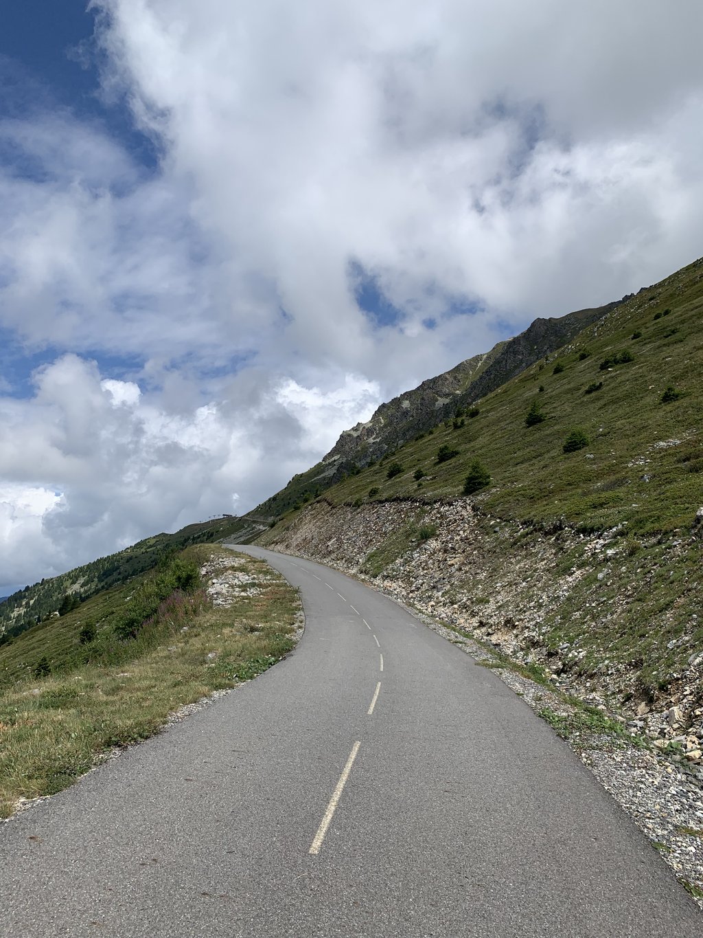
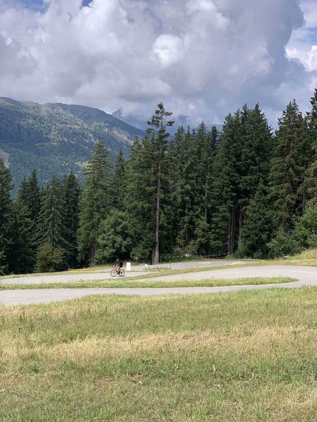
You don't come here by chance. The climb up to the piste roundabout is fairly typical of Alpine passes, with a decent, stable gradient. From there on, however, it's a big cardio test! From the first bend in the forest, you're in the mood...
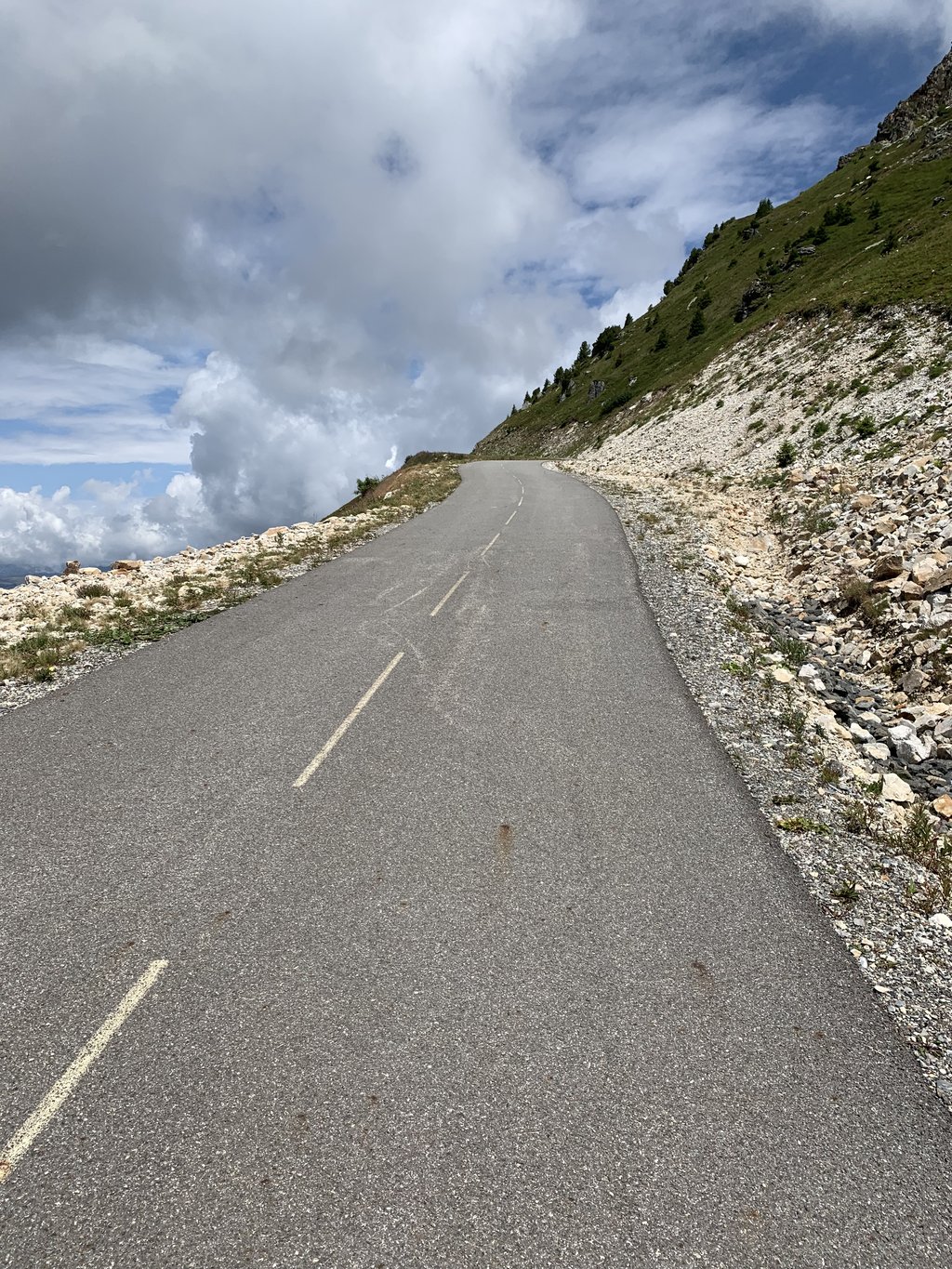
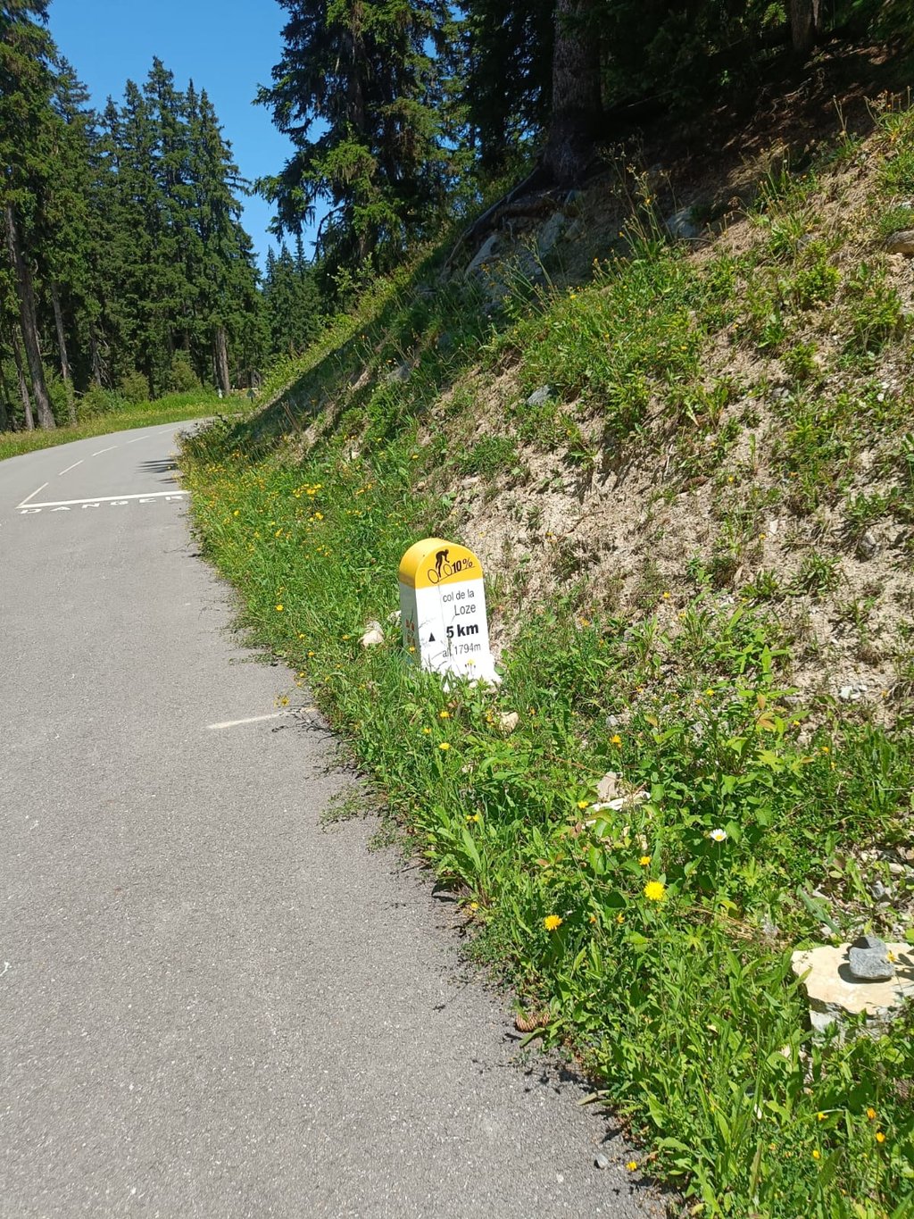
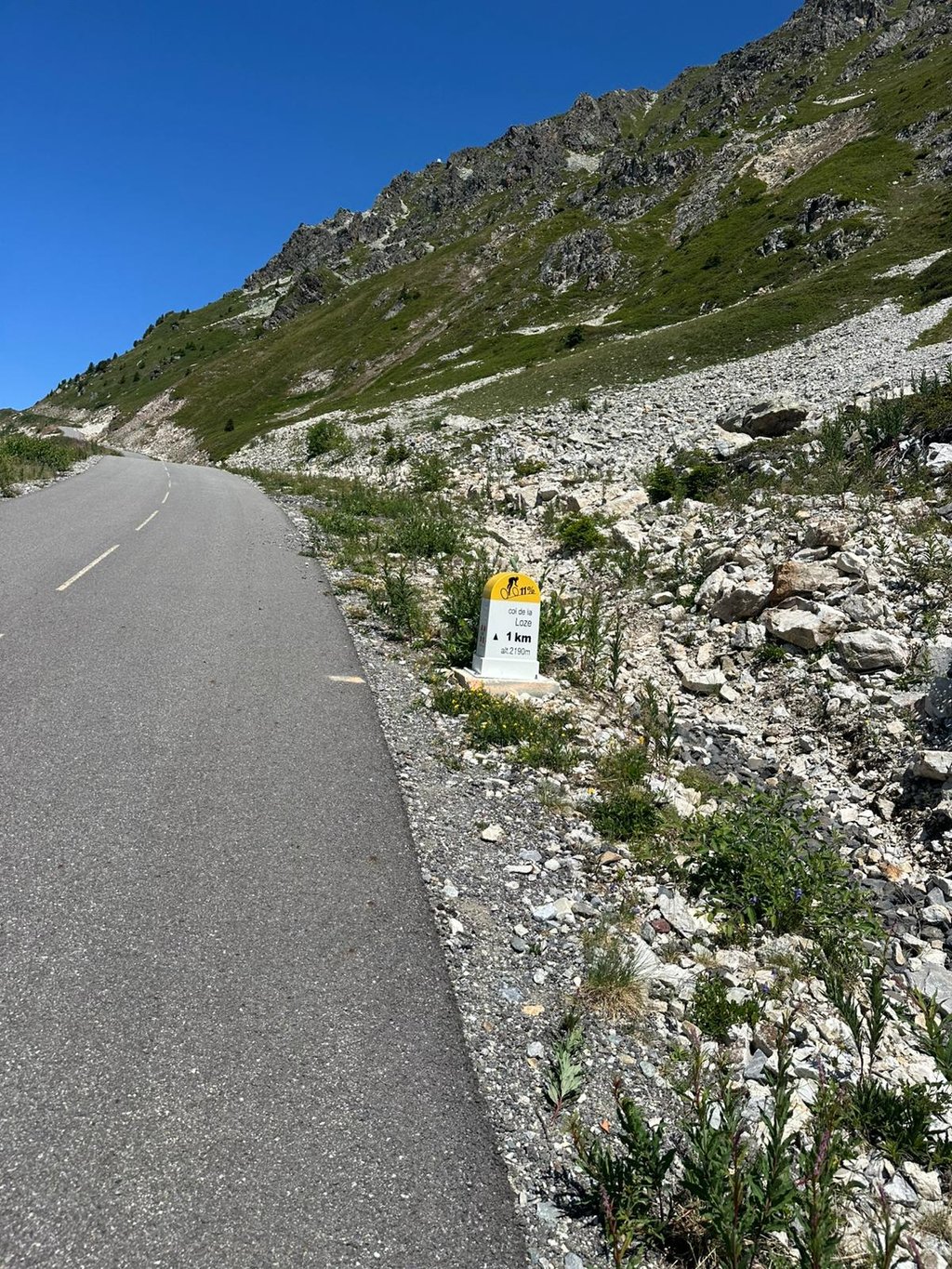
Every kilometre, a short climb between 14 and 18% until the last longer one, a little before the 2Km sign.
A short breather, then an ascent to around 11% from where you can see the summit without really realising it . Then the right-hand bend "Ho putain!!!". You then discover the final wall which culminates at 24%.
Don't neglect the K7 change before setting off if you're a bit short. I edited it to 34*34.
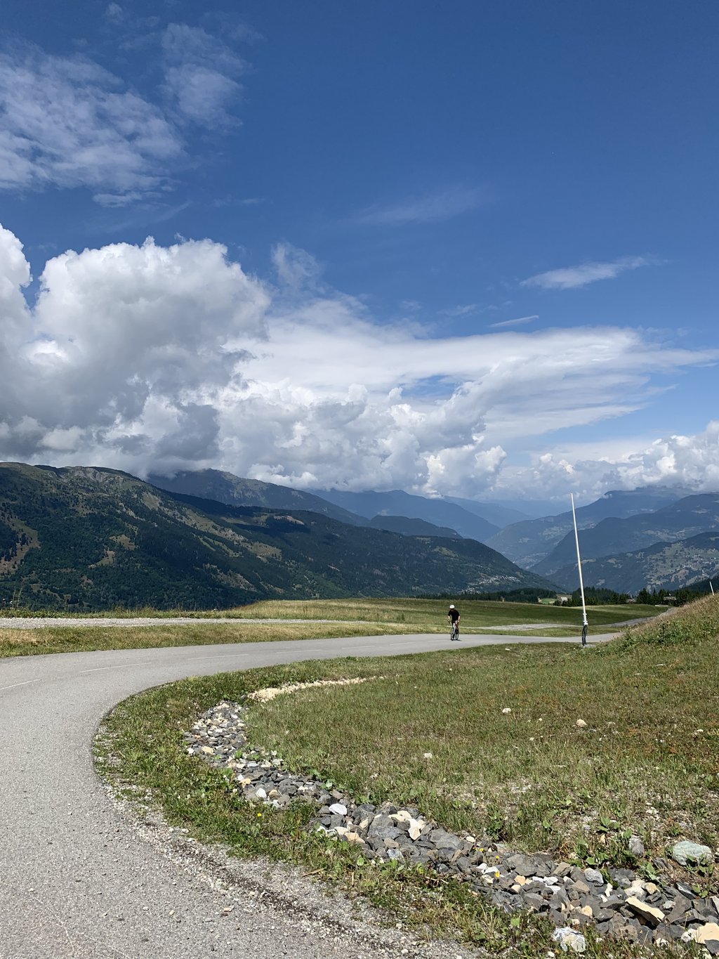
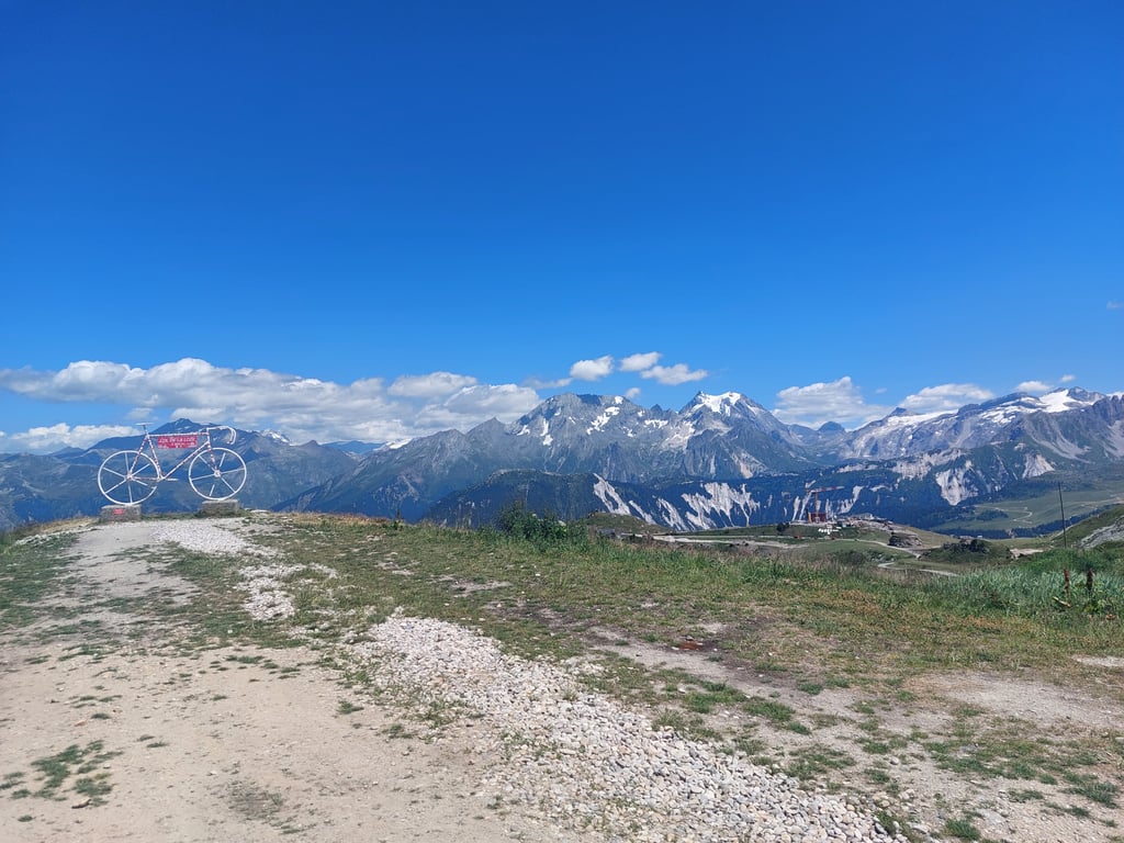
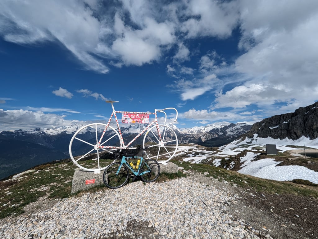
Take time to admire the scenery once you're at the top. You don't really think about it during the effort...
On ne vient pas là par hasard. La montée jusqu'au rond-point des pistes est assez classique des cols alpins; pente correcte et stable. En revanche à partir de là, c'est grand test cardio !!! Dès le premier virage dans la forêt , on est dans l'ambiance...
Tous les Km , un petit raidard entre 14 et 18% jusqu'au dernier plus long , un peu avant le panneau 2Km.
Un petit moment de répit, puis montée à environ 11% d’où on aperçoit le sommet sans se rendre bien compte . Puis le virage à droite "Ho putain !!!". On découvre alors le mur final qui culmine à 24%.
Ne pas négliger le changement de K7 avant de partir si on est un peu juste. Je l'ai monté en 34*34.
Prendre le temps d’admirer le paysage une fois en haut. On n'y pense pas vraiment pendant l'effort...
I confine myself to the last 7 kilometres, which can be described as the 'inferno' for cyclists. A form of self-flagellation if you ask me. You can feel the beginning of the car-free part right away, but that is just a taste! The next part is a nice and smooth one until the first right turn where it suddenly goes up very steeply. That is where the misery really begins. In the last 6 kilometres, the posts along the road show percentages of 8 to 12%, but these are only the average values. In those kilometres you have to deal with an 'obstacle course'. The obstacles are walls that you face in the categories steep, steeper and steepest. Long stretches of 15 to 20 metres alternate with gentle stretches where you can catch your breath. Because of the capriciousness of the course, you never get the chance to catch your rhythm. You are demolished bit by bit on the Col de la Loze. The sight of the last wall, just below the summit, is almost terrifying. There you have to give your all one more time under the pretext of 'pain is good'. The pain is rewarded at the top with beautiful views of Mont Blanc, the surrounding mountains and the col you conquered. By far the toughest final kilometres I've ever had to face. Must have done! Not 5, but 6 stars worth ;-)
Ik beperk me tot de laatste 7 kilometer die door kunnen gaan als het ‘inferno’ voor wielrenners. Een vorm van zelfkastijding als je het mij vraagt. Het begin van het autovrije deel voel je gelijk, maar dat is slechts een voorproefje! Je krijgt vervolgens een lekker lopend stukje tot de eerste bocht naar rechts waar het ineens ontzettend steil omhoog gaat. Daar begint de ellende pas goed. De paaltjes langs de weg tonen in de laatste 6 kilometer percentages van 8 tot 12%, maar dat zijn slechts de gemiddelde waardes. Je krijgt in die kilometers te maken met een ‘hindernisbaan’. De hindernissen zijn muren waar je tegenaan kijkt in de categorieën steil, steiler en steilst. Lange stukken van wel 15 tot 20% dienen zich aan, afgewisseld met milde stukken waar je een beetje op adem kunt komen. Door het grillig verloop krijg je geen moment de kans om je ritme te pakken. Beetje bij beetje word je gesloopt op de Col de la Loze. De aanblik van de laatste muur, vlak onder de top, is haast angstaanjagend. Daar moet je nog één keer onder het mom van ‘pijn is fijn’ alles geven. De pijn wordt op de top beloond met prachtige vergezichten op de Mont Blanc, de omliggende bergen en de col die je hebt bedwongen. Met afstand de zwaarste slotkilometers die ik ooit onder de wielen heb gekregen. Moet je gedaan hebben! Geen 5, maar 6 sterren waard ;-)
An average climb to the top of Meribel ski station but then you hit the last top section with 1000m climbing already in your legs. That last 5km is very hard. It's a series of 15-20% ramps on a cycle path with only short easy sections for recovery. Make sure you have a good gear or you will struggle. It's a real challenge so we'll worth the effort. Good luck
Climb from Moutiers to get into shape. The difficulties start at the exit of the roundabout towards the Loze.
A succession of impressive slope breaks with increasingly steep passages, from 15 to 20%, sometimes over a hundred meters. Exhausting! The average percentage absolutely does not reflect the difficulty of this very very difficult pass.
More difficult than the Grand Colombier or the Galibier (easy to manage)!
Montée faire depuis Moutiers pour se mettre en jambe. Les difficultés commencent à la sortie du rond-point vers la Loze.
Une succession de ruptures de pente impressionante avec des passages de plus en plus raides , de 15 à 20%, quelques fois sur plus d'une centaine de mètres. Epuisant ! Le pourcentage moyen ne reflète absolument pas la difficulté de ce col très très difficile à gérer.
Plus difficile que le Grand Colombier ou le Galibier (facile à gérer)!
| 5 mph | 01:16:18 |
| 7 mph | 00:54:01 |
| 9 mph | 00:42:05 |
| 12 mph | 00:31:37 |
This page is better in the app