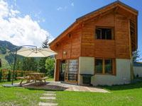
Tips nearby


| Beautiful scenery |
| 6 hairpin turns |
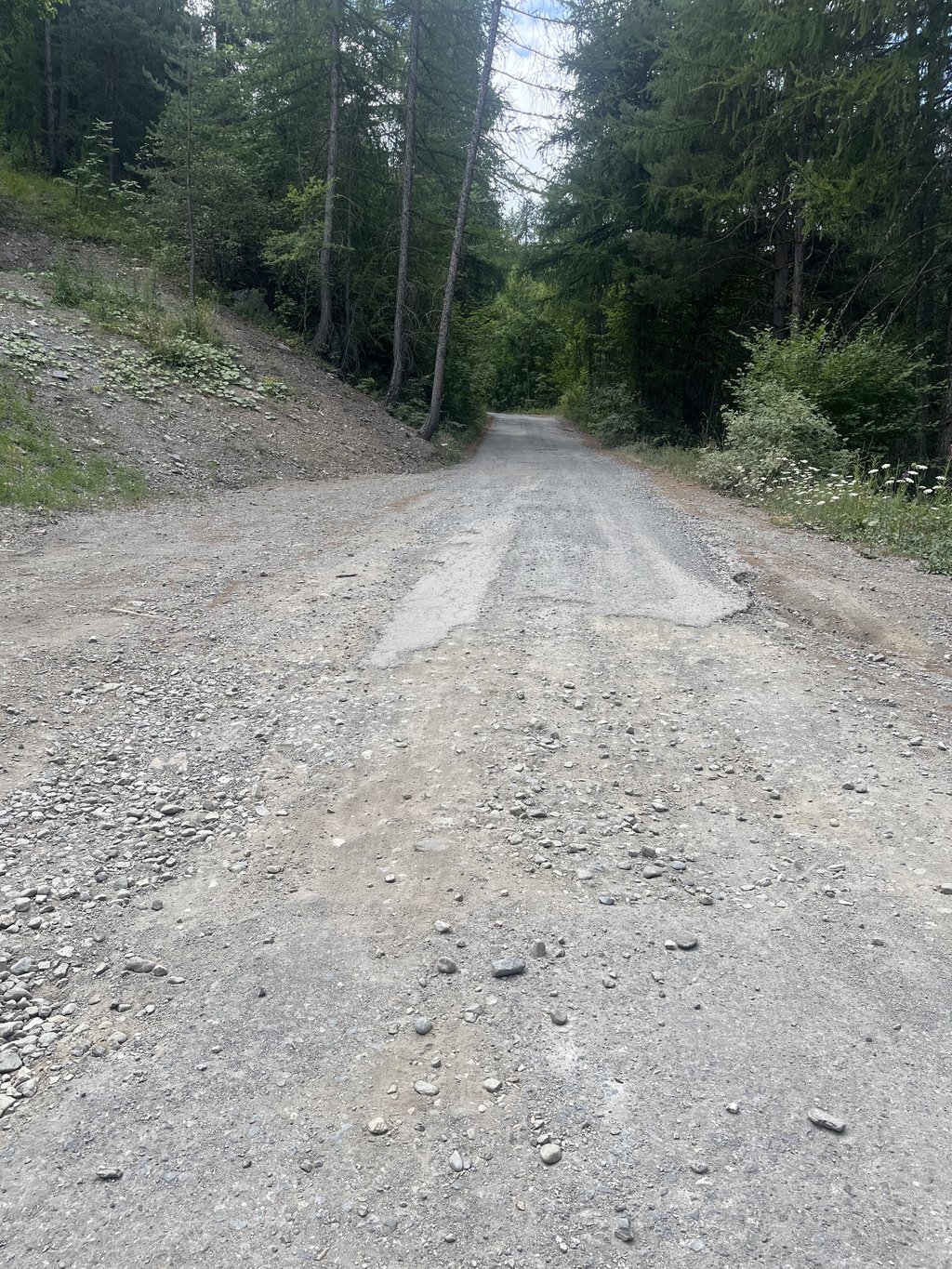
| Bad road |
| #82 toughest climb of Hautes Alpes |
| #84 most elevation gain of Hautes Alpes |
| #37 longest climb of Briançon |
| #54 average steepest climb of Briançon |
Les Ayes from Villar-Saint-Pancrace is a climb in the region Briançon. It is 6.4 km long and bridges 434 m of vertical ascent with an average gradient of 6.8%, resulting in a difficulty score of 344. The top of the ascent is located at 1730 m above sea level. Climbfinder users shared 3 reviews of this climb and uploaded 14 photos.
Road names: VC & Route Haute des Ayes
3.0 by Joeri LaureysThis is an automatic translation, the original language is: Dutch.I wouldn't call the road surface overly bad. Just fine. It's certainly not recently repaired, but if this is already very bad, you shouldn't go anywhere with your race bike. In fact, the last few kilometres are fine. The sloping drainage slots are indeed terribly irritating. Either jump or dismount. Because otherwise you ride your wheels to pieces. It is a nice and if you go at the right time very quiet clink. But it is known the majority of French car drivers don't give a ... read more

Welcome! Please activate your account if you would like to share something. Look for the verification email in your inbox.
If you want to upload your photos, you need to create an account. It only takes 1 minute and it's completely free.
The road surface is mostly okay, with some areas of defects. In places the top layer of tarmac is missing, leaving only the gravel. In others there are patches of loose gravel, raised trees roots or potholes. It would be fine if you only had to climb it. However, it’s a dead end road, so you have to come back down. The twisty, narrow descent, over patchy road surfaces is thoroughly unpleasant. On the weekend the road is popular with cars driving up to go hiking, so expect one every couple of minutes on a road barely wide enough for them too. If you didn’t have to descend it I would give it three or four stars, but because you do, one star: avoid it and go somewhere else. There are much nicer climbs nearby.
I wouldn't call the road surface overly bad. Just fine. It's certainly not recently repaired, but if this is already very bad, you shouldn't go anywhere with your race bike. In fact, the last few kilometres are fine.
The sloping drainage slots are indeed terribly irritating. Either jump or dismount. Because otherwise you ride your wheels to pieces.
It is a nice and if you go at the right time very quiet clink. But it is known the majority of French car drivers don't give a damn about cyclists. So best to be careful.
Finally, the GPX of the climb here on climbfinder doesn't lead you all the way to the time. It's best to ride a bit further on fine tarmac to the Pian.
Het wegdek zou ik niet overdreven slecht noemen. Prima te doen. Het is zeker niet recent hersteld, maar als dit al zeer slecht is, moet je nergens meer met je racebike naartoe. De laatste kilometers is het zelfs prima.
De schuine afwateringsgleuven zijn inderdaad verschrikkelijk irritant. Ofwel jumpen ofwel afstappen. Want anders rij je je wielen stuk.
Het is een mooie en als je op het juiste moment gaat erg rustige klink. Maar het is gekend de meerderheid van de Franse autobestuurders geeft geen kl*te om fietsers. Dus best voorzichtig zijn.
Tot slot de GPX van de klim hier op climbfinder leidt je niet helemaal tot de tijd. Je kan best nog een stuk verder rijden op prima asfalt naar de Pian.
Bucolic and rustic!
The start is tough.
A good part of the ascent is made through a forest that's just right for us. The road is in very poor condition for almost half of the way. The further you climb, the better it gets, to the point where the last third is beyond reproach.
There, a rushing torrent will accompany you to the pretty chapel of Sainte Elisabeth.
Unfortunately, there is a lot of traffic: the lake seems to be quite busy.
On the descent, beware of the many drainage channels.
Bucolique et champêtre !
Le début est bien sévère.
Une bonne partie de l’ascension s’effectue à travers une forêt toute proprette. La route est très dégradée sur près de la moitié du trajet. Plus vous grimpez plus son état s’améliore au point d’être irréprochable sur le dernier tiers.
Là un torrent pressé vous accompagnera jusqu’à la mignonne chapelle Sainte Elisabeth.
Hélas, il y a de la circulation : le lac semble assez visité.
Lors de la descente, prendre garde aux nombreuses rigoles d’évacuation d’eau.
| 7 km/h | 00:54:48 |
| 11 km/h | 00:34:52 |
| 15 km/h | 00:25:34 |
| 19 km/h | 00:20:11 |
This page is better in the app