View on map
© MapLibre | OpenStreetMap contributors
1%
2%
4%
6%
8%
10%
12%
15%
20%

Col de Champ-Laurent from Valgelon la Rochette via Glapigny

3.0
2 reviews | Elevation profile | 4 photos
Tips nearby
Col de Champ-Laurent from Valgelon la Rochette via Glapigny
transparant thumb
transparant thumb
transparant thumb
transparant thumb
Your achievable time
Calculating based on your best performances...
Relaxed
Maximum
W/kg
W/kg
W/kg
Analyse your climbing performance
Detailed insight into your climbing performance & automatically check off climbs
Based on your best performances.
Your best attempt:
Number of attempts:
Elevation profile Col de Champ-Laurent from Valgelon la Rochette via Glapigny

Statistics

Difficulty points 567
Length 13.9 km
Average gradient 5.8%
Steepest 100 metres 11.5%
Total ascent 803 m

Short recap

6 hairpin turns
#97 longest climb of Savoie
Feedback about this climb?
Show climbs nearby Export to GPS device

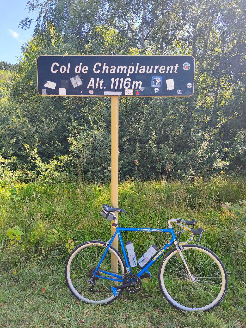
Col de Champ-Laurent from Valgelon la Rochette via Glapigny is a climb in the region Savoie. It is 13.9 km long and bridges 803 m of vertical ascent with an average gradient of 5.8%, resulting in a difficulty score of 567. The top of the ascent is located at 1114 m above sea level. Climbfinder users shared 2 reviews of this climb and uploaded 4 photos.

Road names: D23 & D25
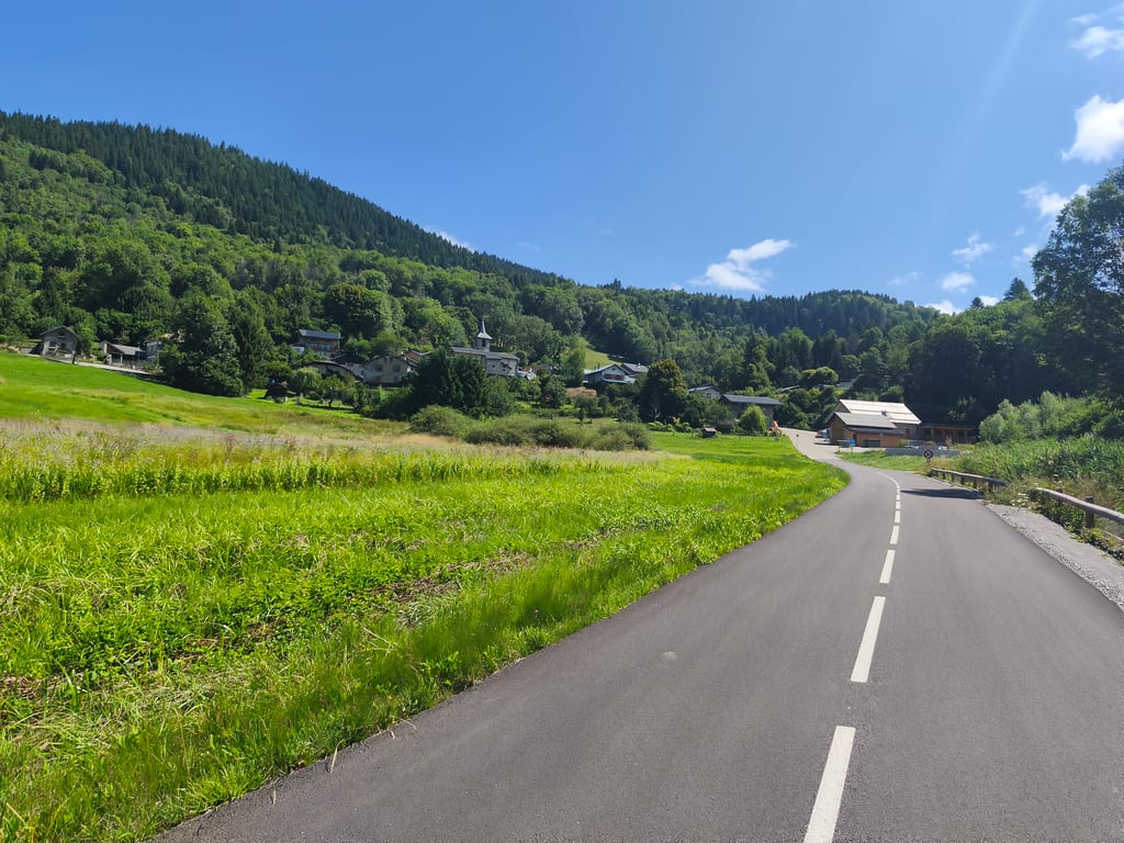
3.0 by Seb38
This is an automatic translation, the original language is: French.
A very pleasant, quiet climb, with a good surface overall. You'll be in the shade from La Table, where you'll often be in the forest as far as the pass. The route is dotted with lovely views of the Vallée des Huiles, the Chartreuse and Les Bauges. The gradient is fairly even, but never excessively steep. The 4km Col du Grand Cucheron at an average gradient of 8.5% can be extended to make the outing even more strenuous.... read more

Photos (4)

Col de Champ-Laurent from Valgelon la Rochette via Glapigny
transparant thumb
transparant thumb

Your uploads (max 4)

Welcome! Please activate your account if you would like to share something. Look for the verification email in your inbox.

If you want to upload your photos, you need to create an account. It only takes 1 minute and it's completely free.

  • Receive free climbfinder goodies for your reviews & photos.
  • Create a bucket list and check off conquered climbs.
  • Add missing climbs.
Continue with GoogleContinue with Google Continue with FacebookContinue with Facebook Continue with AppleContinue with Apple Sign up with email
By signing up you agree to our terms of service and confirm that you have read our privacy & content policy.

Reviews (2)

5.0
4.0
3.0
2.0
1.0
Seb38
10 Mo 3.0
This is an automatic translation, the original language is: French. Show original

A very pleasant, quiet climb, with a good surface overall. You'll be in the shade from La Table, where you'll often be in the forest as far as the pass. The route is dotted with lovely views of the Vallée des Huiles, the Chartreuse and Les Bauges. The gradient is fairly even, but never excessively steep. The 4km Col du Grand Cucheron at an average gradient of 8.5% can be extended to make the outing even more strenuous.

Montée très agréable, calme, avec un revêtement dans l'ensemble bon. On est à l'ombre à partir de La Table, où l'on est souvent dans la forêt jusqu'au col. La route est parsemée de jolis point de vues aussi bien sur la vallée des Huiles, que sur la Chartreuse ou Les Bauges. La pente est plutôt régulière, jamais excessivement pentue. On peut prolonger avec le Col du Grand Cucheron et ses 4kms à 8,5% de moyenne pour corser la sortie.

Col de Champ-Laurent from Valgelon la Rochette via Glapigny
Dashboard
sergenavetat
4 y 3.0
This is an automatic translation, the original language is: French. Show original

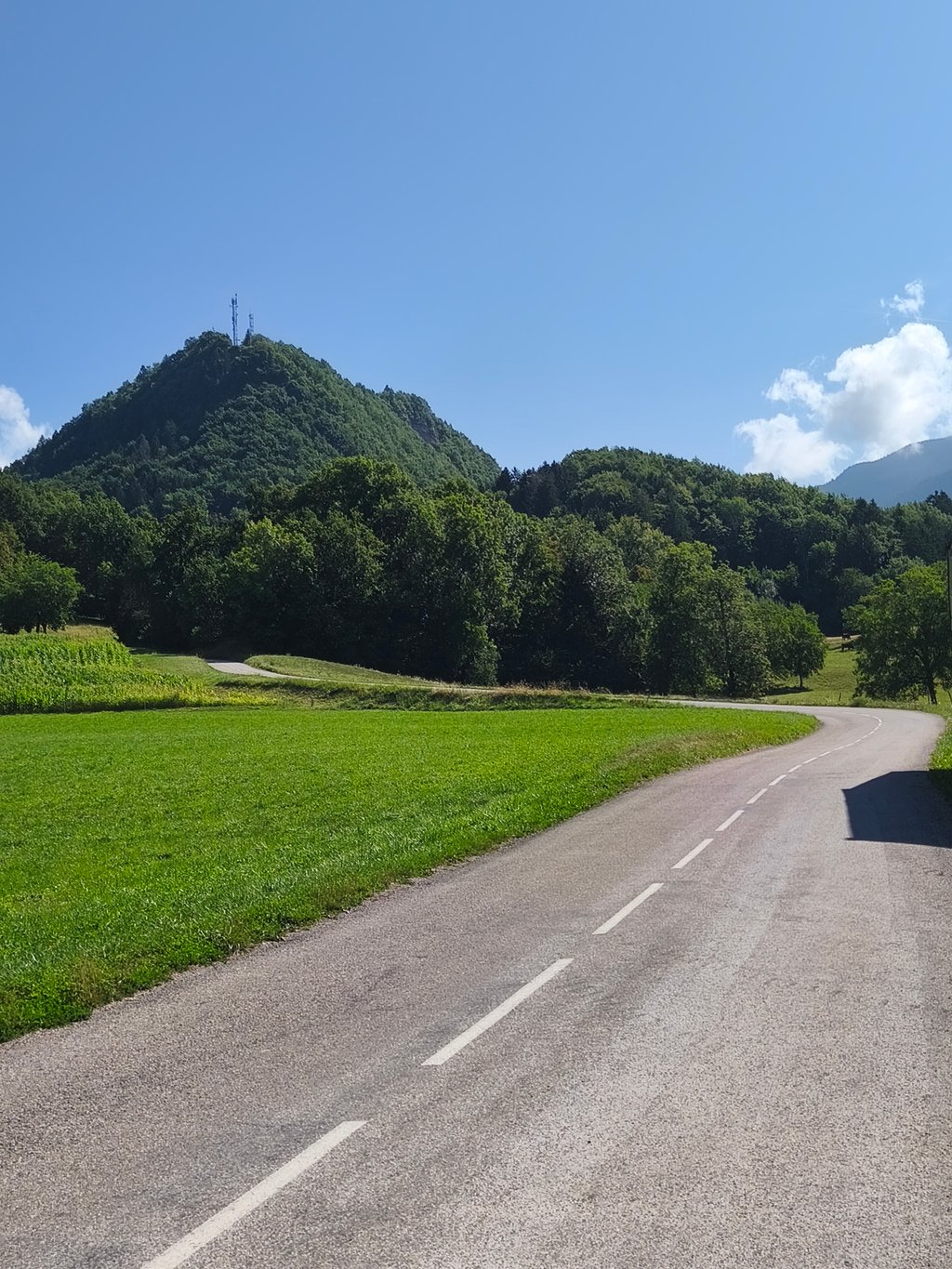
Made more than 2 years ago, long ascent with sustained slopes and laces on the first part and then a long, very long straight line rather monotonous, one overhangs the valley of Gelon permanently sometimes with points of view and sometimes in the forest.

Faite il y a plus de 2ans, longue ascension avec des pentes soutenues et des lacets sur la première partie et ensuite une longue, très longue ligne droite assez monotone, on surplombe la vallée du Gelon en permanence tantôt avec des points de vue et parfois dans la foret.

Dashboard

Climbing times

7 km/h 01:58:55
11 km/h 01:15:40
15 km/h 00:55:30
19 km/h 00:43:48

Road surface condition

100% 0% 0%
Based on 2 votes
Share your knowledge. What was the road condition during your ascent?

Traffic

50% 50% 0%
Based on 2 votes
Your experience counts. How much traffic did you encounter during the climb?

Frequently Asked Questions

You don't need special gearing for Col de Champ-Laurent from Valgelon la Rochette via Glapigny. The slope isn't long or steep enough to require much shifting down. You can conquer this climb on power alone. However, a compact gearing system with a smallest front chainring of 34 and largest rear sprocket of 28 or 30 is always nice if you enjoy cycling uphill. This helps maintain a smooth cadence.

Col de Champ-Laurent from Valgelon la Rochette via Glapigny is a serious climb and falls into the 2nd category. With a good basic fitness level, even without much cycling experience, you can complete this climb just fine. However, a bike with climbing gears is a must. Without experience or training, it will be really tough – but that’s part of the challenge!

Col de Champ-Laurent from Valgelon la Rochette via Glapigny is 13.9 km long.

The average gradient of Col de Champ-Laurent from Valgelon la Rochette via Glapigny is 5.8%.

Col de Champ-Laurent from Valgelon la Rochette via Glapigny has a steepest segment with an average gradient of 11.5%.

The summit of Col de Champ-Laurent from Valgelon la Rochette via Glapigny is at 1114 m.

At a slow pace of 7 km/h, it takes about 01:58:55 to climb Col de Champ-Laurent from Valgelon la Rochette via Glapigny. At 11 km/h the time is 01:15:40, and at 15 km/h 00:55:30. For the fastest cyclists, 00:43:48 is an achievable time.

Col de Champ-Laurent from Valgelon la Rochette via Glapigny is located in the region Savoie in France.

This page is better in the app

Climbfinder app
Climbfinder
(Free)
Open