Tips nearby


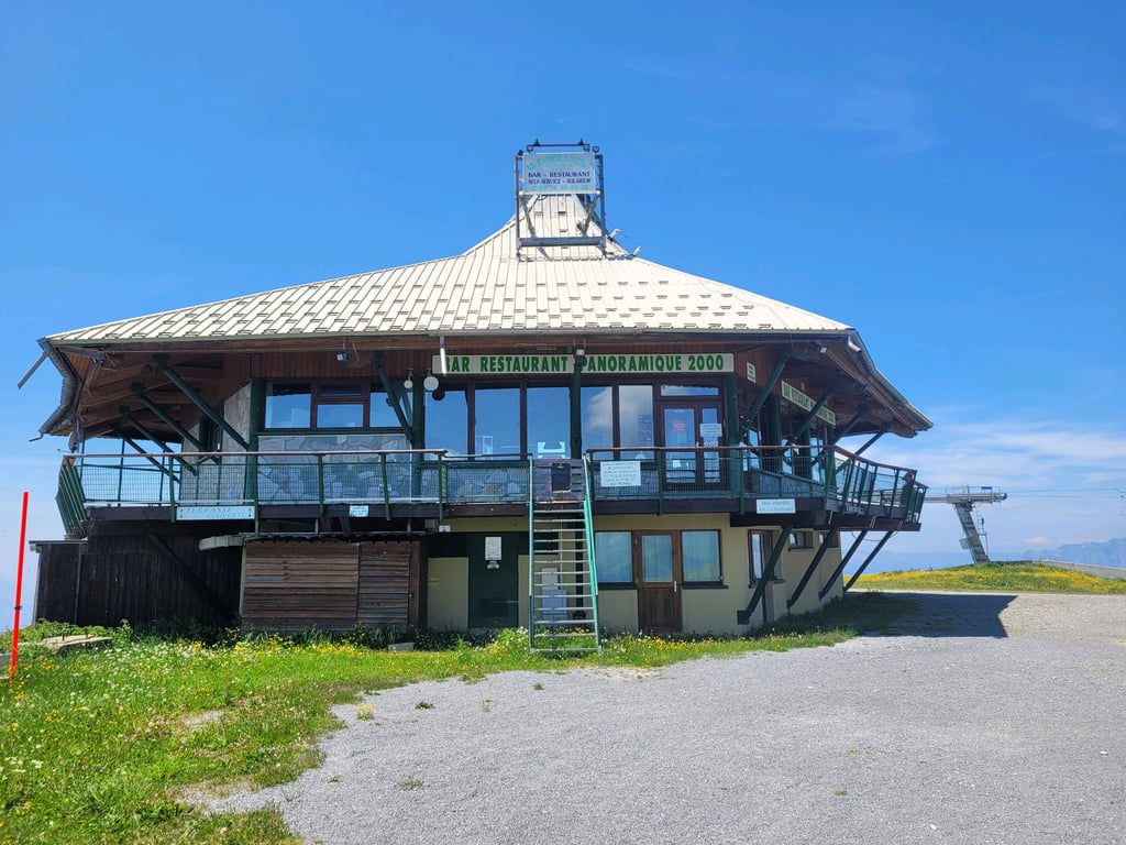
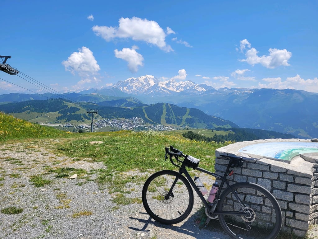
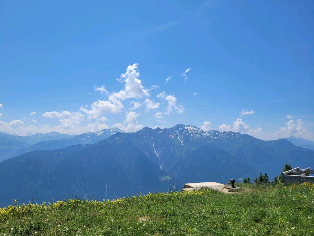
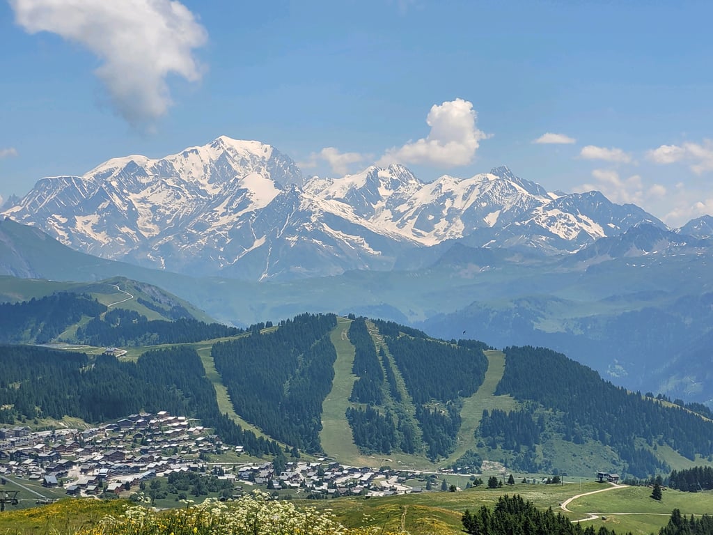
Signal de Bisanne from Col des Saisies is a climb in the region Annecy. It is 4.2 km long and bridges 361 m of vertical ascent with an average gradient of 8.5%, resulting in a difficulty score of 350. The top of the ascent is located at 1934 m above sea level. Climbfinder users shared 2 reviews of this climb and uploaded 6 photos.
Road name: Route de Mont Bisanne
4.0 by nielsdevries1998This is an automatic translation, the original language is: Dutch.Powerful finale from Saises. The climb is very steep and it can be hard to get into your rhythm. Beware, at the end of May, the summit can still be poorly accessible as there may still be snow. Since it is not a normal mountain pass but part of the ski piste, the road is not cleared of snow.... read more
Welcome! Please activate your account if you would like to share something. Look for the verification email in your inbox.
If you want to upload your photos, you need to create an account. It only takes 1 minute and it's completely free.
Powerful finale from Saises. The climb is very steep and it can be hard to get into your rhythm. Beware, at the end of May, the summit can still be poorly accessible as there may still be snow. Since it is not a normal mountain pass but part of the ski piste, the road is not cleared of snow.
Machtig slotstuk vanaf Saises. De klim is erg steil en je kan lastig in je ritme komen. Let op, eind mei kan de top nog wel eens slecht bereikbaar zijn doordat er nog sneeuw kan liggen. Aangezien het geen normale bergpas is maar onderdeel van de ski piste wordt de weg niet sneeuw vrij gemaakt.
When you turn right onto the narrower road, the last few kilometres become very steep. Fortunately, it is very quiet and nice cycling here. In the descent, be careful because the road surface has a lot of loose gravel on top and many potholes further down.
Vanaf je rechts naar de smallere weg afslaat wordt het de laatste paar kilometer heel steil. Het is hier gelukkig zeer rustig en mooi fietsen. In de afdaling toch opletten want het wegdek heeft boven veel losse gravel liggen en meer naar beneden toe veel putten.
| 7 km/h | 00:36:24 |
| 11 km/h | 00:23:09 |
| 15 km/h | 00:16:59 |
| 19 km/h | 00:13:24 |
This page is better in the app