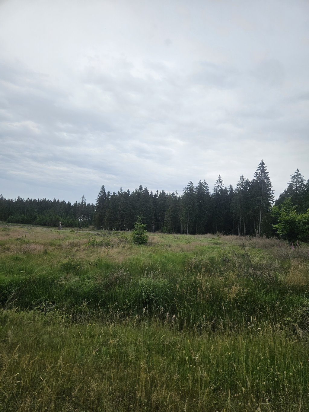
Pannensterzkopf via Raalkopf is a climb in the region High Fens & East Cantons. It is 16.4 km long and bridges 460 m of vertical ascent with an average gradient of 2.8%, resulting in a difficulty score of 202. The top of the ascent is located at 664 m above sea level. Climbfinder users shared 10 reviews of this climb and uploaded 31 photos.
Road name:
5.0 by JanClThis is an automatic translation, the original language is: Dutch.Fantastic! Beautiful scenery, climbing through the forest. Never really steep, but nice long climbs, lovely!... read more
Welcome! Please activate your account if you would like to share something. Look for the verification email in your inbox.
If you want to upload your photos, you need to create an account. It only takes 1 minute and it's completely free.
Fantastic! Beautiful scenery, climbing through the forest. Never really steep, but nice long climbs, lovely!
Fantastisch! Prachtige omgeving, klimmen door het bos. Nooit echt steil, maar lekker lang klimmen, heerlijk!
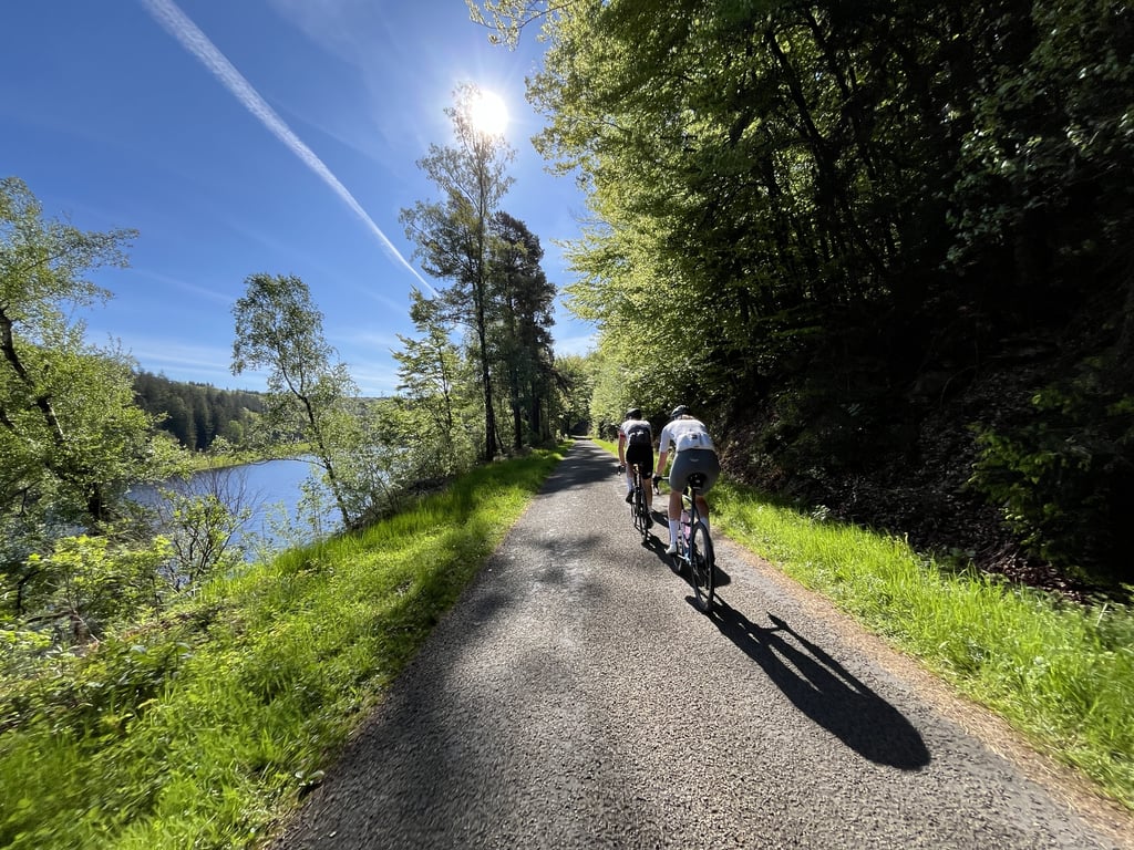
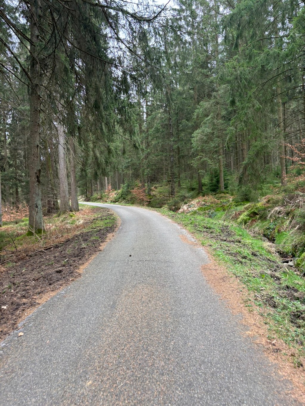
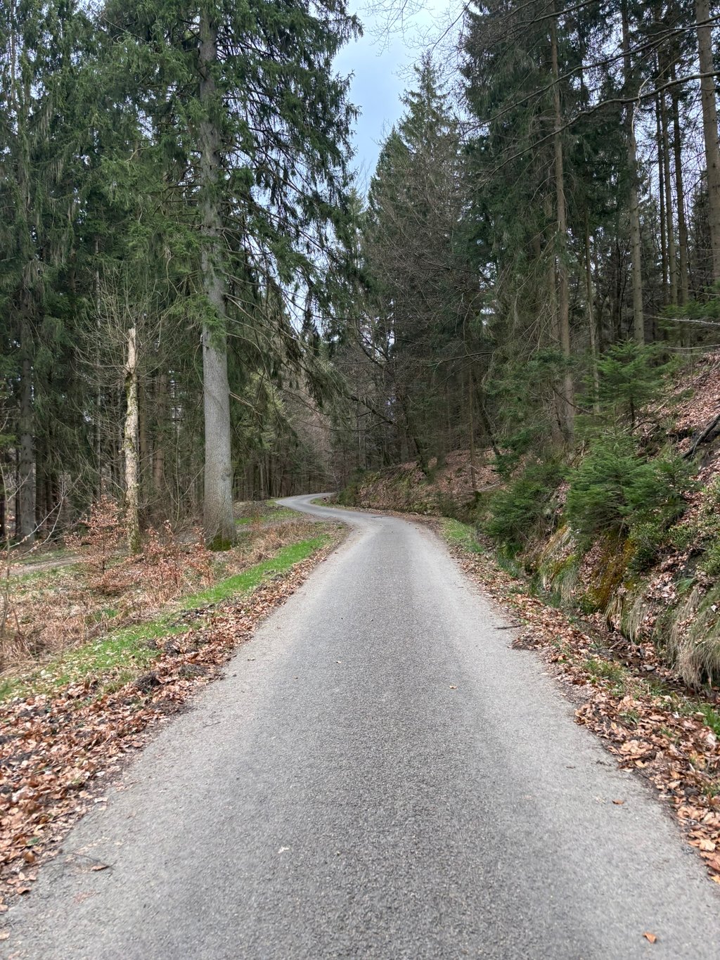
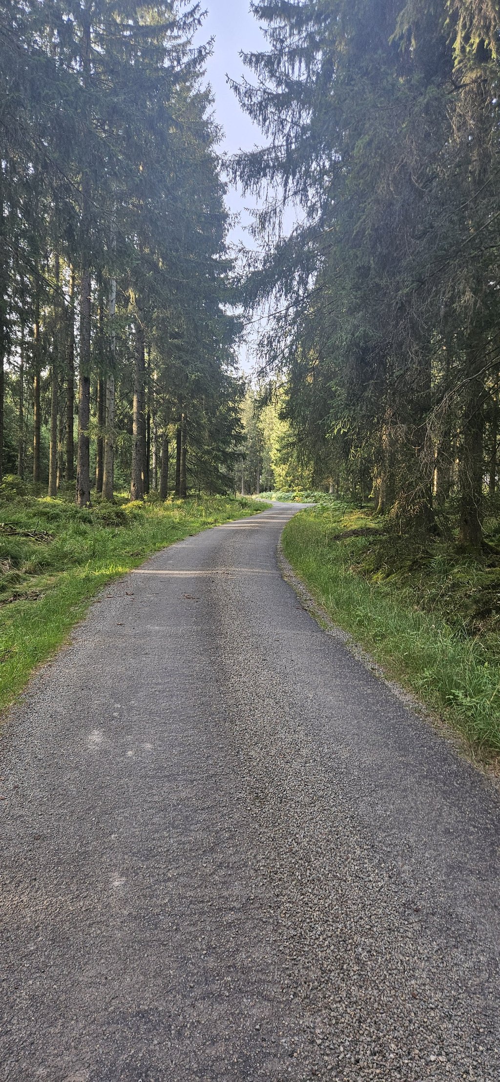
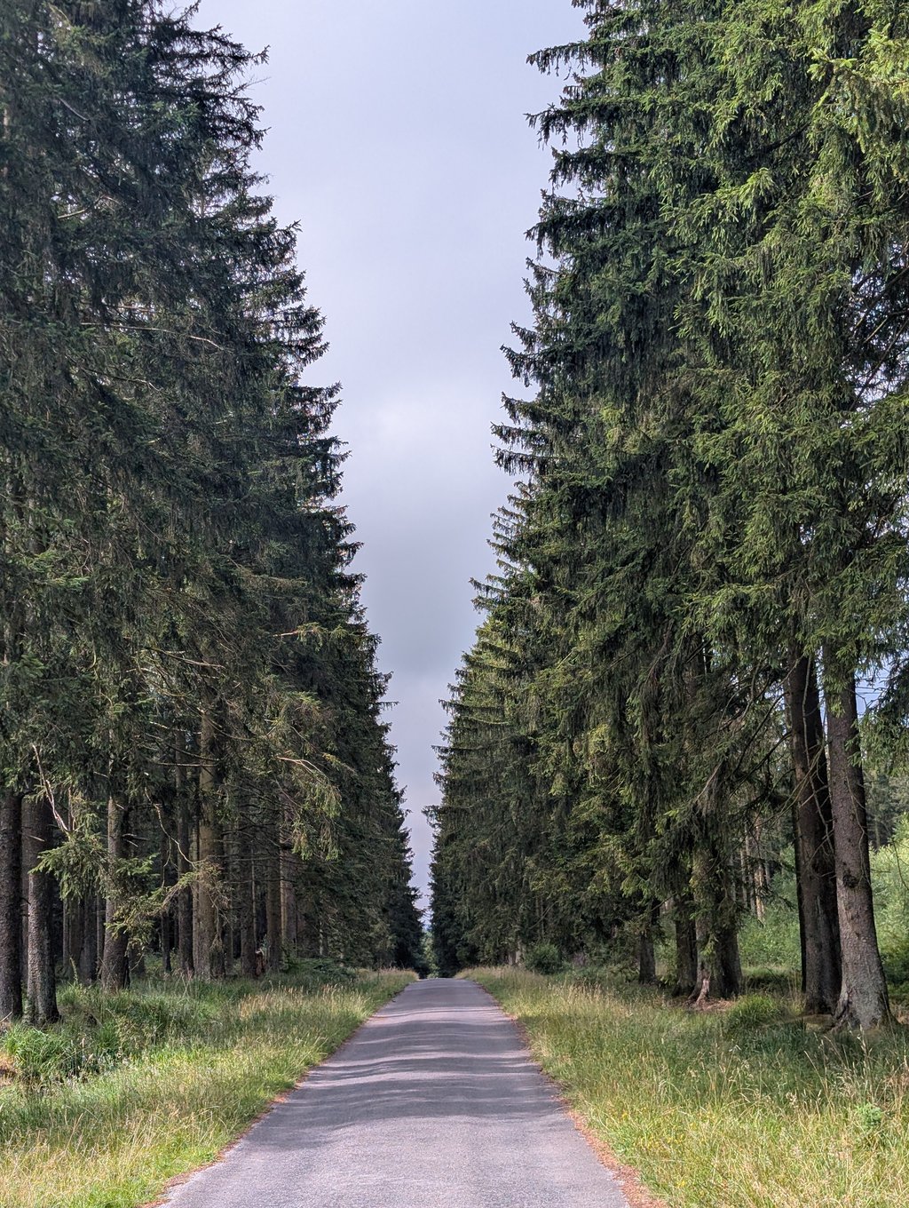
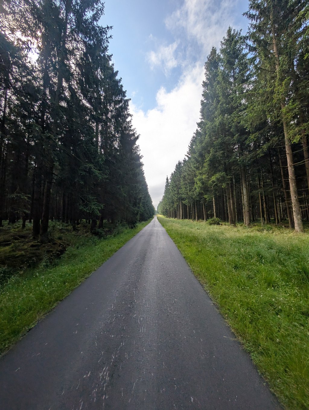
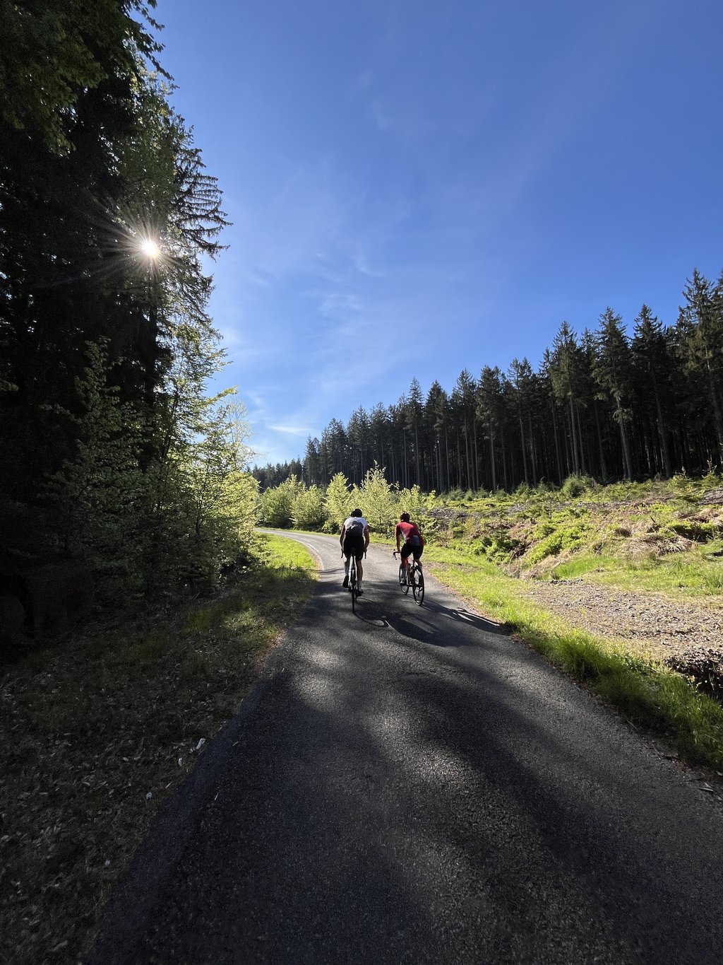
Nice long climb that starts after a short descent from Eupen. You then ride along the Wesertalsperre and enter the forest. In the first 7 kilometres you get two steeper sections. At the first opportunity, you turn right to Ternell. On the Monschauer Strasse, you turn right for a short while and then left to re-enter the forest. At the first junction, keep left for this climb. The condition of the road surface is nothing to write home about but doable on a road bike.
Mooie lang klim die begint na een korte afdaling vanuit Eupen. Vervolgens rij je langs de Wesertalsperre en ga je het bos in. In de eerste 7 kilometer krijg je twee steilere stukken. Bij de eerste gelegenheid sla je rechtsaf naar Ternell. Op de Monschauer Strasse ga je even rechtsaf en korte daarna linksaf om weer het bos in te duiken. Op de eerste splitsing links aanhouden voor deze klim. De staat van het wegdek is niet om over naar huis te schrijven maar met een racefiets wel te doen.
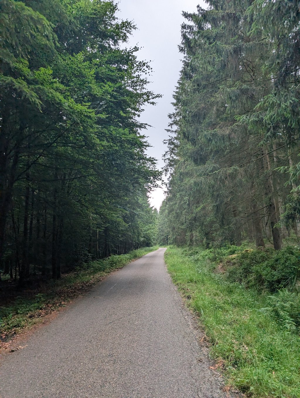
Incredibly beautiful in the forest between the trees! The road surface is only partly stony rather than smooth, but the experience is still well worth it.
The road surface is more stony than smooth, but this in no way detracts from the experience between the picturesque trees.
Unfassbar schöner im Wald zwischen den Bäumen! Der Straßenbelag ist nur teilweise eher steinig als glatt, die Erfahrung ist es trotzdem alle male wert.
Der Straßenbeleuchtung ist eher steinig als glatt, dies schmälert die Erfahrung zwischen den malerischen Bäumen aber keinesfalls.
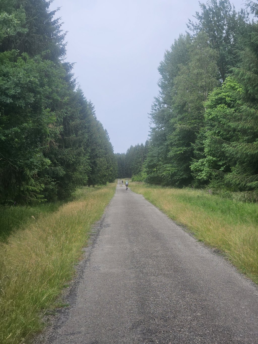
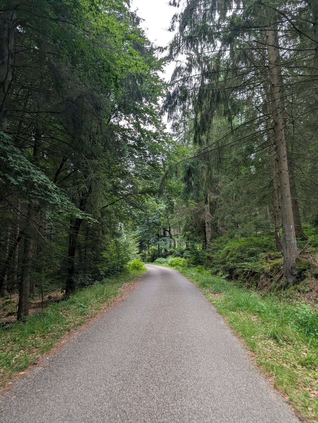
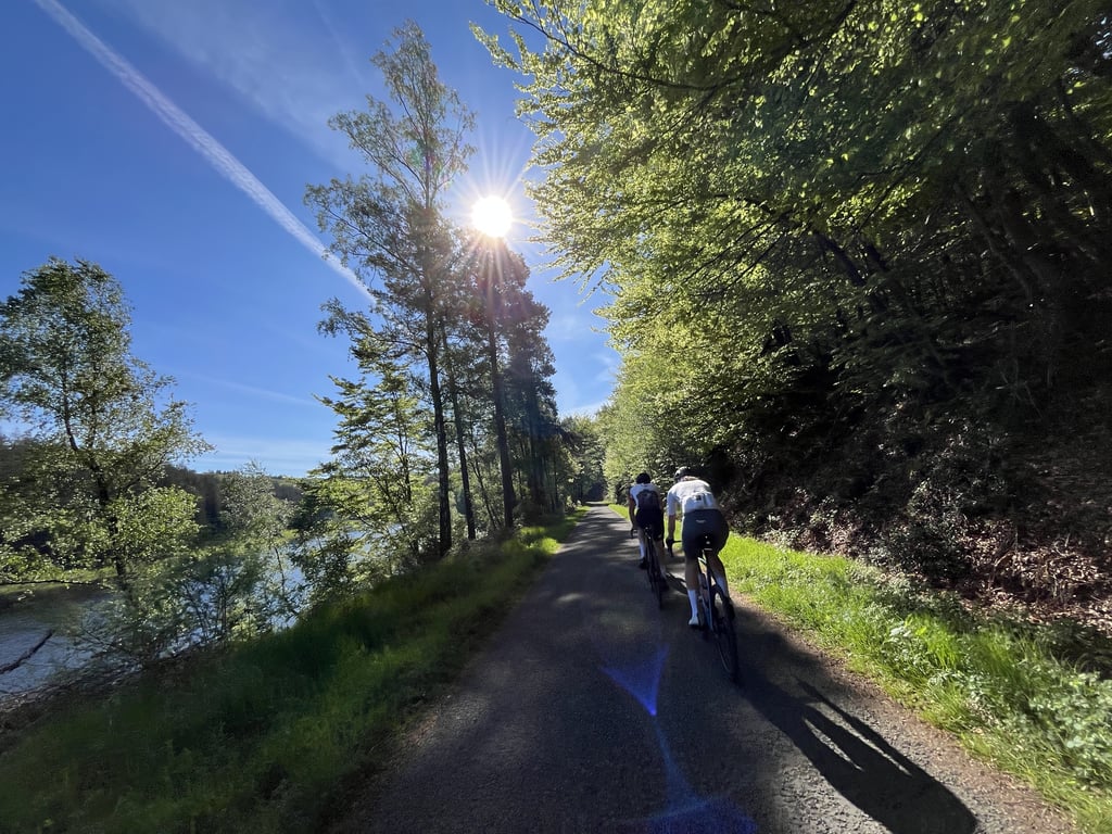
Beautiful long traffic-free climb. Blessed to be able to cycle alone among the trees.
Road surface sometimes not super but the scenery makes up for a lot.
Mooie lange verkeersvrije klim. Zalig om alleen tussen de bomen te kunnen fietsen.
Wegdek is soms niet super maar de omgeving maakt veel goed.
Bloody hell, what a nice, tasty and long climb! It climbs comfortably and you ride through beautiful and varied scenery. The road surface wasn't too bad either, I guess 1% gravel, the rest very doable and a few stretches of lovely new asphalt. Didn't see any other cyclists during the climb, so enjoy :) Definitely recommended 10/10
Potverdomme, wat een mooie, lekkere en lange klim! Hij klimt comfortabel en je rijdt door een mooie en ook wel afwisselende omgeving. Ook het wegdek viel niet tegen, ik gok 1% gravel, de rest prima te doen en ook nog een paar stukken heerlijk nieuw asfalt. Tijdens de klim geen andere fietsers gezien, dus genieten :) Zeker een aanrader 10/10
Great climb: particularly long, in the woods - all alone in nature. Real enjoyment! I wanted to do this one because it was tremendously hot (30°) and I thought I would have coolness here in the forests. I can say that at 1 p.m. you do have a lot of sun and less shade - so advisable to do it in the morning or late afternoon if you want shade. Nice to climb for a bit longer this way too, although you do have several intermediate sections (5 flights of stairs as it were). A short stretch of 8à9%, but otherwise never steep. Road surface is not super, but I found it sufficient (only a short stretch of gravel of 100m at the end of the climb). The descent afterwards is also blissful.
Geweldige klim: bijzonder lang, in de bossen - helemaal alleen in de natuur. Echt genieten! Ik wilde deze doen omdat het enorm warm was (30°) en ik dacht hier verkoeling te hebben in de bossen. Ik kan zeggen dat je om 13u toch veel stukken zon hebt en minder schaduw - dus aan te raden om deze dan in de voormiddag of late namiddag te doen als je schaduw wilt. Tof om ook zo eens wat langer te klimmen, al heb je ook wel verschillende tussenstukken (5 trappen als het ware). Een kort stukje van 8à9%, maar verder nooit steil. Wegdek is niet super, maar ik vond het zeker voldoende (enkel een kort stukje gravel van 100m op het einde van de klim). De afdaling is vervolgens ook zalig.
In itself a beautiful path through nature. Really, the road surface is terrible. Nevertheless, I would still take it!
Opzich een schitterend pad door de natuur. Echt is het wegdek echt verschrikkelijk. Desondanks zou ik hem toch meepakken!
This is a beautiful, wonderfully tranquil climb, which nowhere gets really tough. I had imagined a little more of the views (you see quite little), but the forest and meadow environment is wonderfully rustic.
Dit is een prachtige, heerlijk rustige beklimming, die nergens echt zwaar wordt. Van het uitzicht had ik me iets meer voorgesteld (je ziet vrij weinig), maar de bos- en weide-omgeving is heerlijk rustiek.
Wonderful "climb". Lovely that almost the whole route is car-free. Asphalt is quite rough, but climbing no problem at all. There is a small stretch of gravel, of maybe 100 metres, in the route, but it was better than the asphalt there. The 6% stretch just before the Raalkopf is one of the few stretches where you can see far ahead. Then you've been climbing for kilometres, and suddenly you see an increasingly steep stretch ahead of you. Then a short descent with a 15% sign, not too bad in reality.
Just after the top, a nice view of the surroundings.
Prachtige "beklimming". Heerlijk dat vrijwel de hele route autovrij is. Asfalt is vrij grof, maar klimmend geen enkel probleem. Er zit een klein stukje gravel, van misschien 100 meter, in de route, maar dat was daar beter dan het asfalt. Het stukje 6% vlak voor de Raalkopf is een van de weinige stukken waar je ver vooruit kunt kijken. Dan ben je al kilometers aan het klimmen, en dan zie je opeens een steeds steiler wordend stuk voor je. Daarna een korte afdaling met een bordje 15%, valt in werkelijk best mee.
Net na de top een mooi uitzicht over de omgeving.
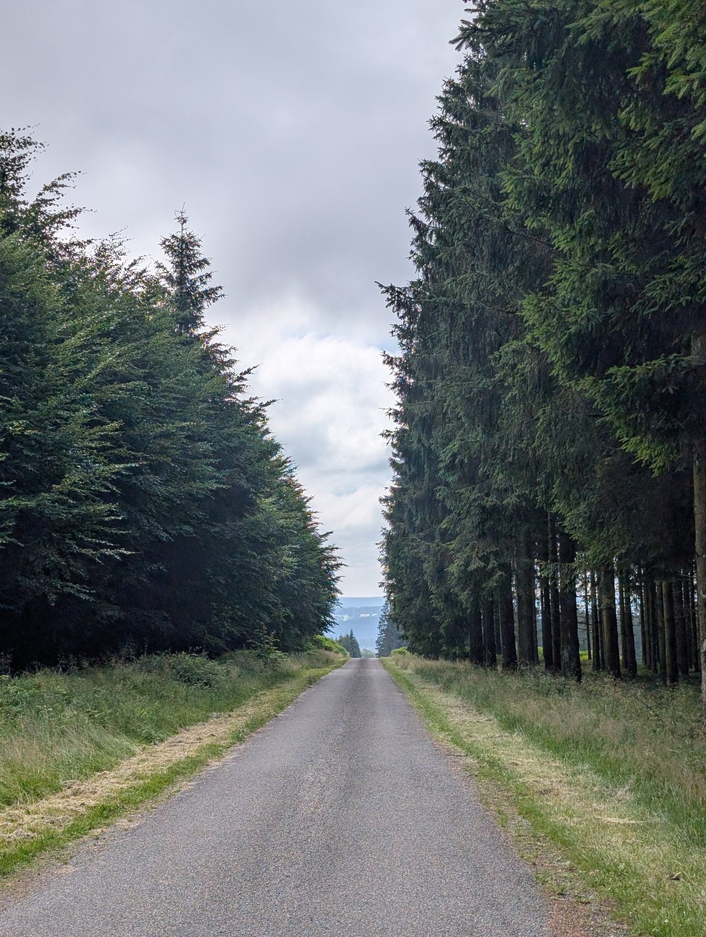
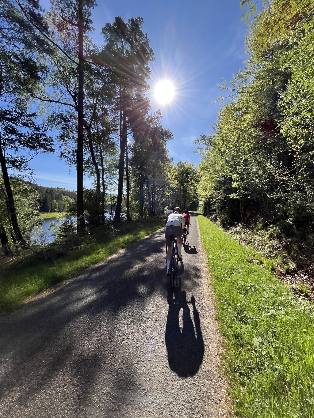
Beautiful route on car-free roads where you only have to cross a through road once during the whole long climb. First it goes fairly uphill towards the dam, then a flat section along the reservoir before continuing up through the forest with relaxed but varying percentages. Among all the forest, there are sometimes more open stretches. After the Raalkopf (at about'n 13 km) there is a very steep descent (sign 15%) where you have to watch out for loose gravel (to the left and right of the middle are clean tracks) and where you ride into a very beautiful little valley. After the summit, by the way, there is a very nice descent towards Küchelscheid.
Prachtige route over autovrije weggetjes waarbij je gedurende de hele lange klim maar één keer een - zeer overzichtelijke - doorgaande weg hoeft over te steken. Eerst gaat het redelijk omhoog richting de stuwdam, dan een vlak traject langs het stuwmeer waarna het met relaxte maar wisselende percentages door het bos verder omhoog gaat. Tussen al het bos soms meer open stukken. Na de Raalkopf (op zo'n 13 km) volgt even een zeer steile afdaling (bord 15%) waar je op moet passen voor los grind (links en rechts van het midden zijn wel schone sporen) en waar je een bijzonder fraai dalletje in rijdt. daarna nog een klim - met onderweg enkele borden die de hoogte aangeven - tot de top. Na de top volgt overigens een erg fraaie afdaling richting Küchelscheid.
| 7 km/h | 02:20:45 |
| 11 km/h | 01:29:34 |
| 15 km/h | 01:05:41 |
| 19 km/h | 00:51:51 |
This page is better in the app