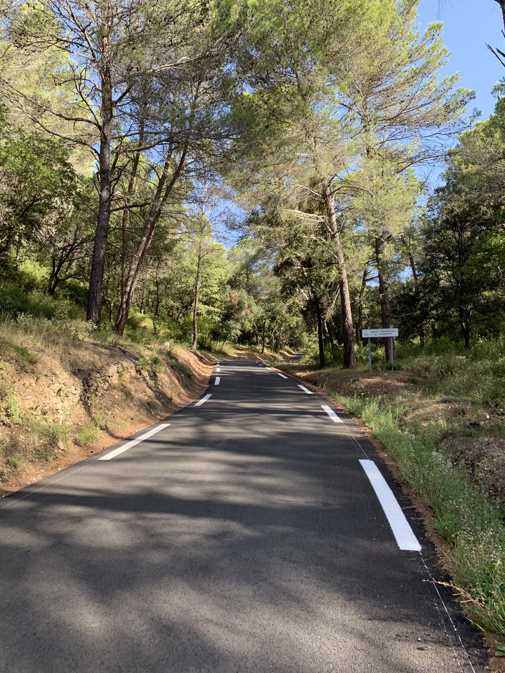
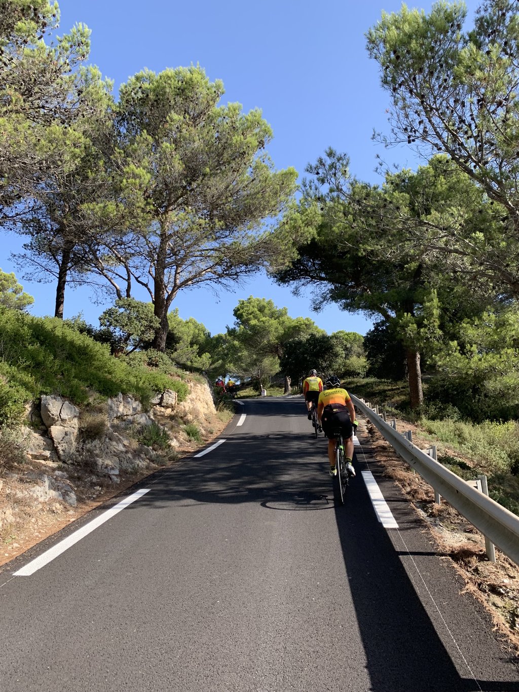
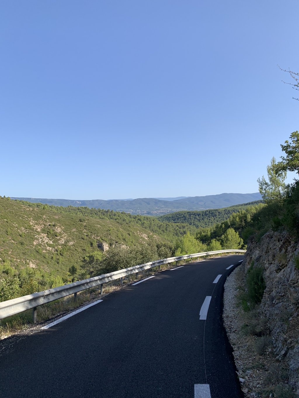
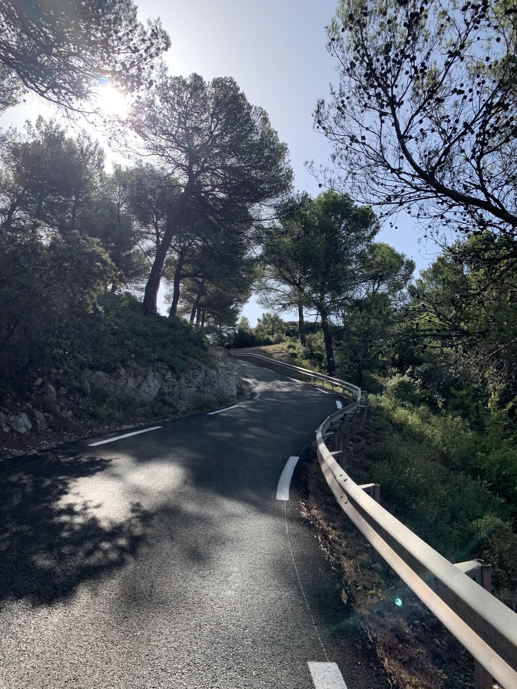
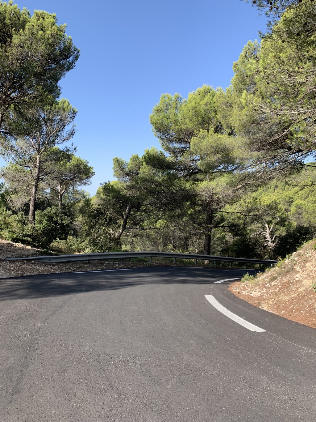
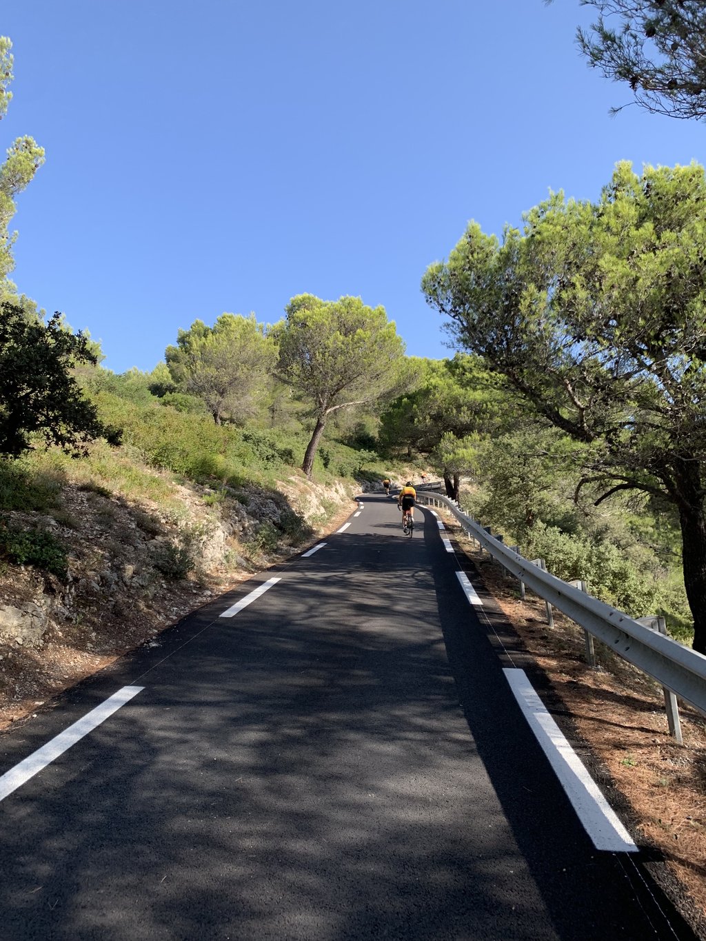
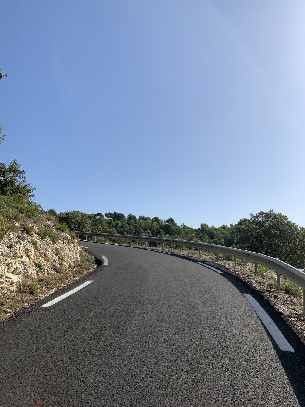
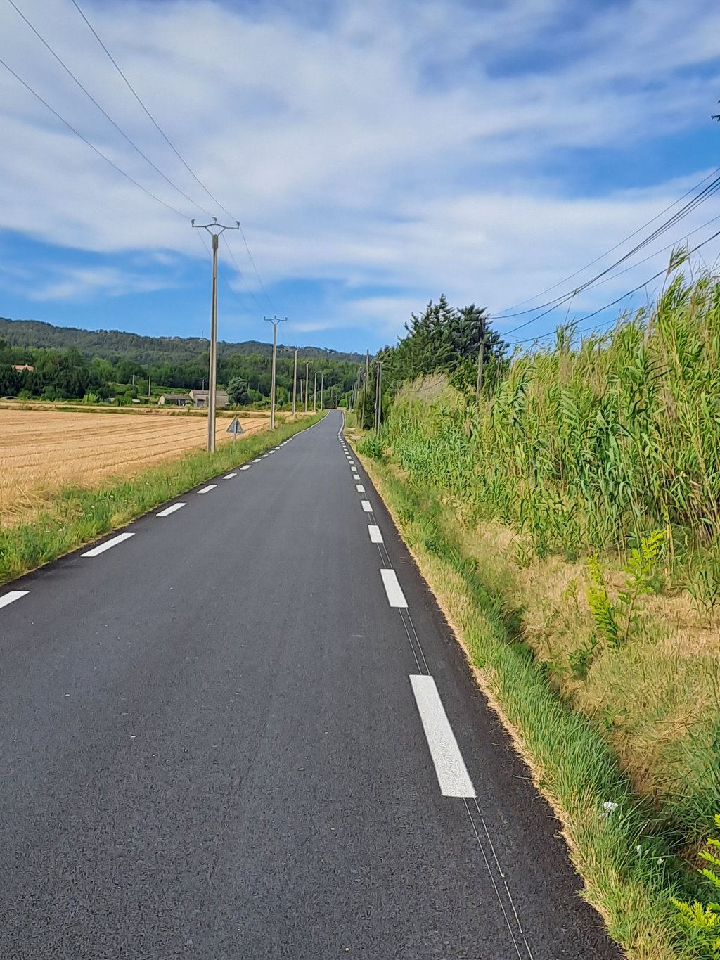
Col de Sainte Anne is a climb in the region Bouches-du-Rhône. It is 3.9 km long and bridges 228 m of vertical ascent with an average gradient of 5.8%, resulting in a difficulty score of 171. The top of the ascent is located at 427 m above sea level. Climbfinder users shared 4 reviews of this climb and uploaded 25 photos.
This is an automatic translation, the original language is: French.
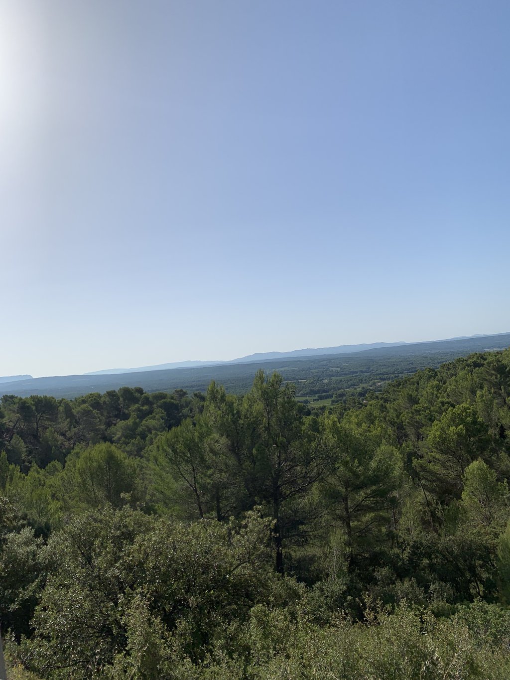
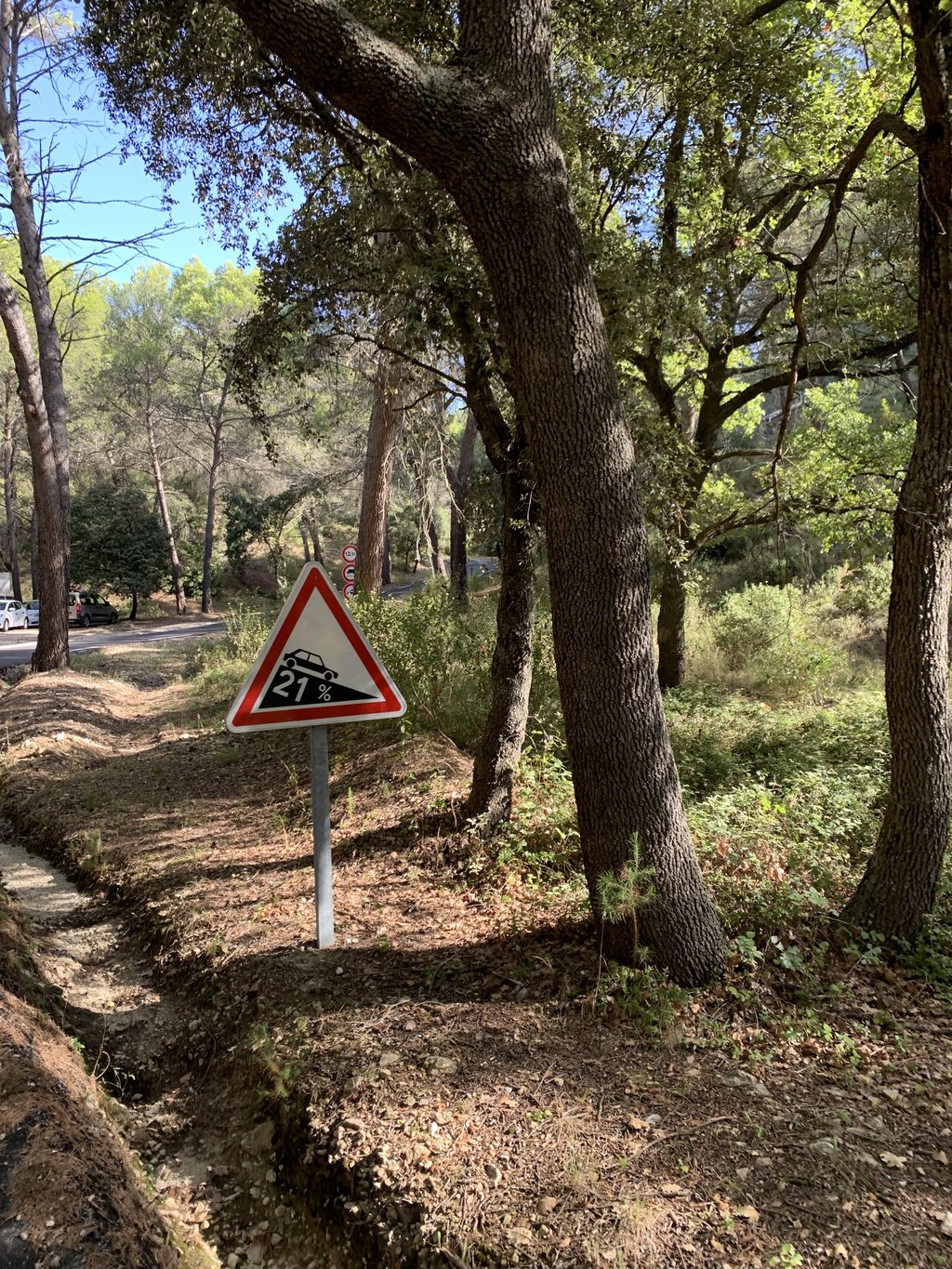
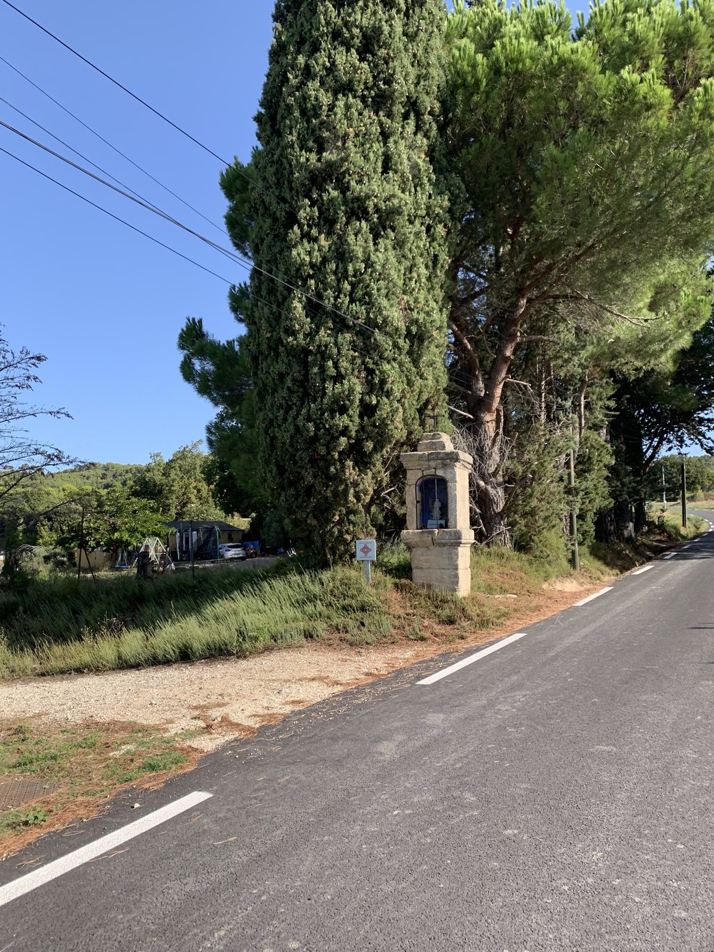
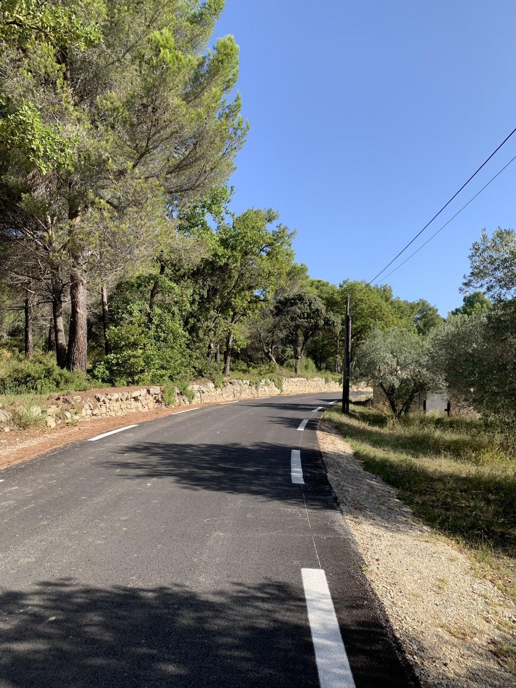
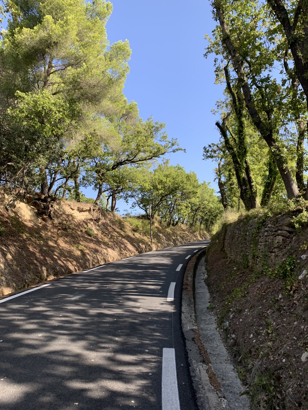
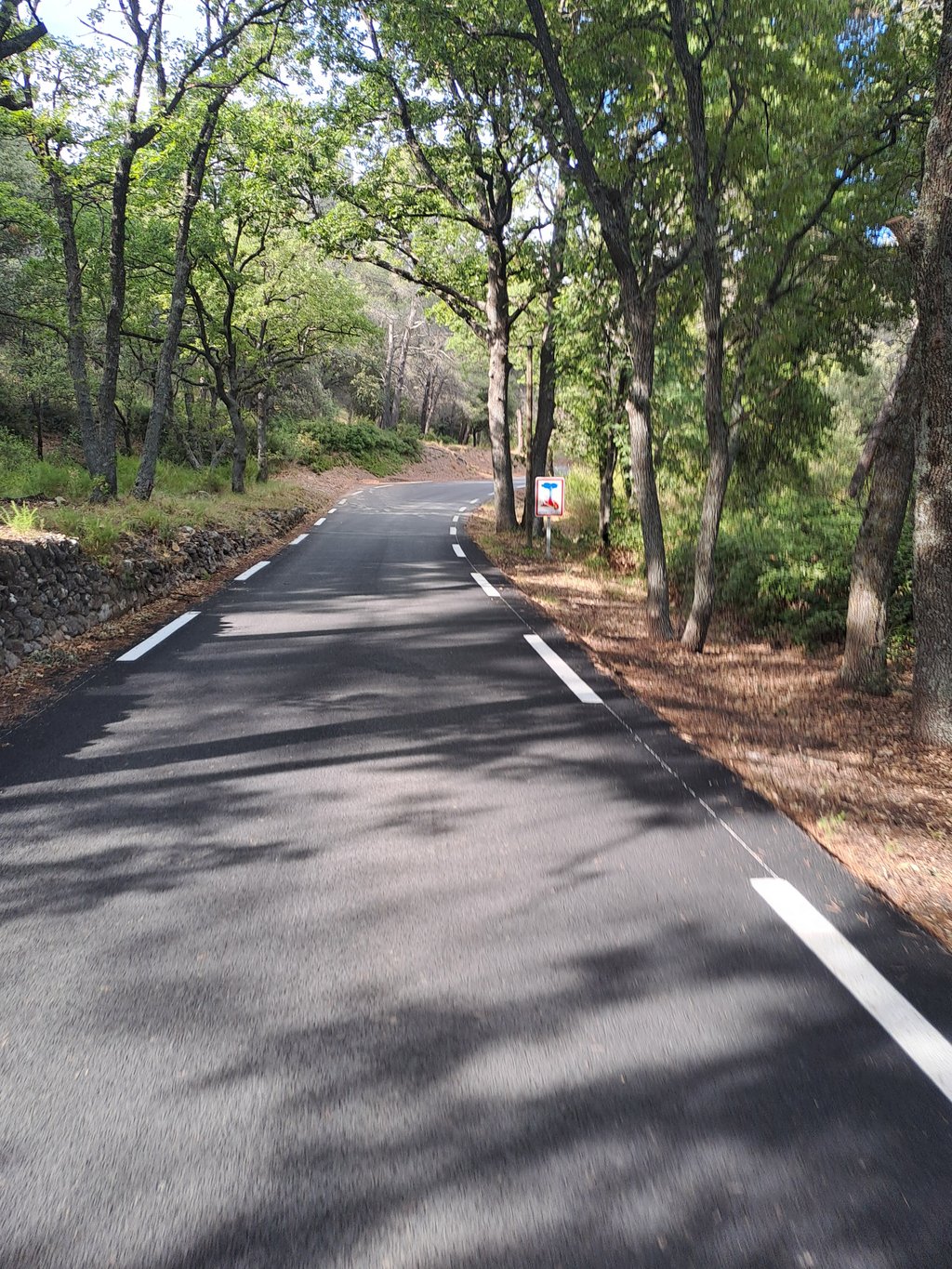
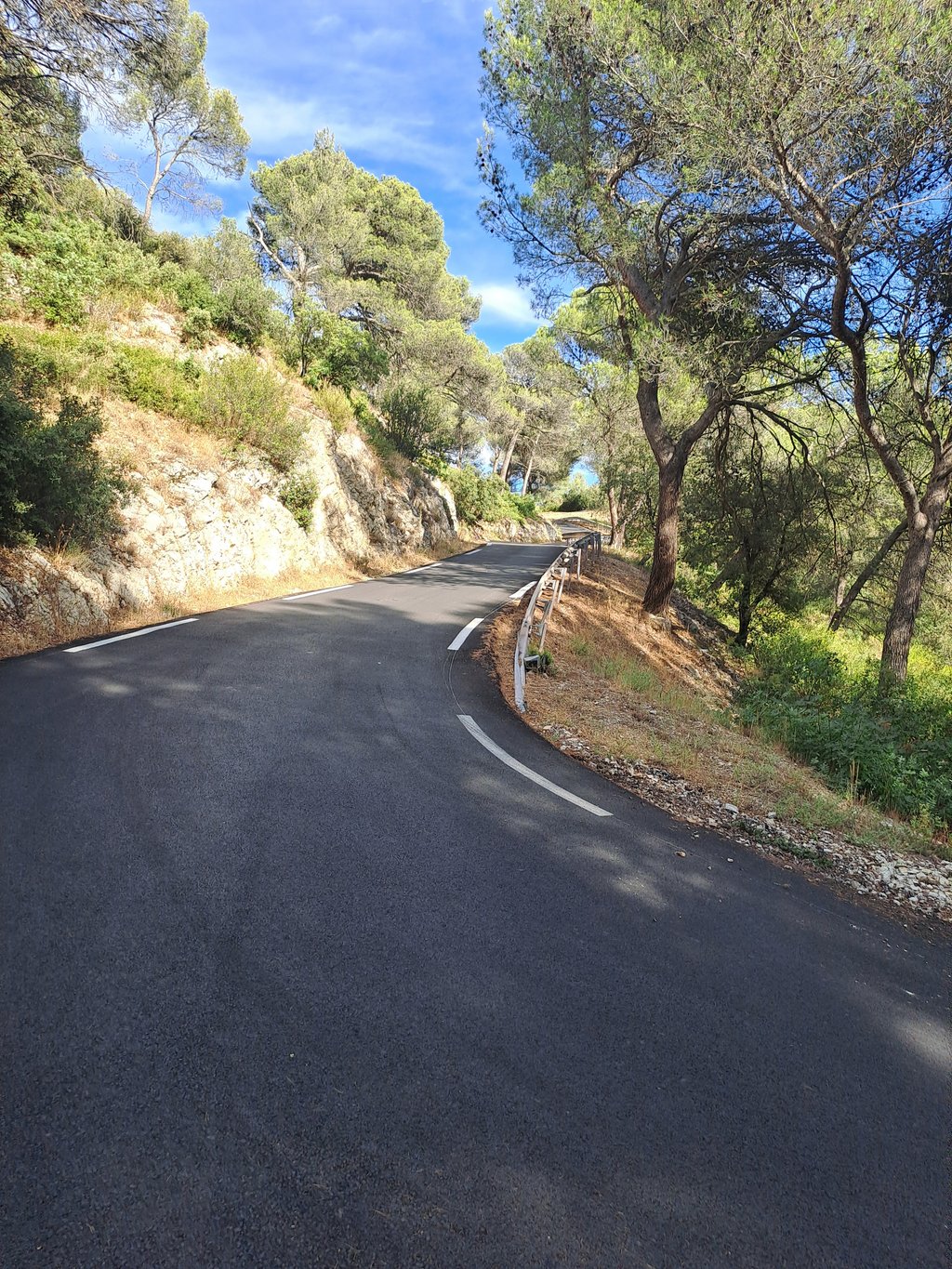
A very pretty little pass. The quality of the road is excellent and there's very little traffic for a Sunday morning. It starts out very easy amidst vineyards, then as soon as you enter the forest the gradients get harder! After the 21% sign, the climb climbs steeply to the summit. Very steep but short, and above all with a perfect road and beautiful scenery! The descent to La Roque d'Antheron is beautiful but tricky (tyres slipping on the new road on the steepest gradients), so be c...read more
Photos (25)
Welcome! Please activate your account if you would like to share something. Look for the verification email in your inbox.
This is an automatic translation, the original language is: French.
Show original
A very pretty little pass. The quality of the road is excellent and there's very little traffic for a Sunday morning. It starts out very easy amidst vineyards, then as soon as you enter the forest the gradients get harder! After the 21% sign, the climb climbs steeply to the summit. Very steep but short, and above all with a perfect road and beautiful scenery! The descent to La Roque d'Antheron is beautiful but tricky (tyres slipping on the new road on the steepest gradients), so be careful!
Très joli petit col. La qualité de la route est excellente et assez peu de circulation pour un dimanche matin. Début très roulant au milieu de vignes, puis dès que l’on rentre dans la forêt les pourcentages ce font plus durs ! Passé le panneau à 21% ça grimpe fort jusqu’au sommet. Très raide mais court, et surtout avec une route parfaite et des jolis paysages ! Descente sur La Roque d’Antheron très belle mais piégeuse (pneus qui glisse sur la route neuve dans les très forts pourcentages) prudence !
This is an automatic translation, the original language is: Dutch.
Show original
This climb starts as a sneeze trap, calmly climbing up valsplat on a nice pitch black asphalt layer with lots of bitumen in it so it runs and looks beautiful . But once you are in the forest and you see the road in front of you making a turn towards the sky, 21% despite il being with the MTB my legs exploded. Those last 500m are insane, a little Angliru not to mention the other side
Deze klim begint als een niemendalletje, rustig valsplat oplopend op een mooie pekzwarte asfaltlaag met veel bitumen in zodat het prachtig loopt en uitziet . Maar eens je in het bos bent en je voor jou de weg een bocht ziet maken richting hemel, 21% ondanks il met de MTB was ontploften mijn benen. Die laatste 500 m zijn waanzinnig, een kleine Angliru om dan nog te zwijgen van de andere kant
This is an automatic translation, the original language is: Dutch.
Show original
What quiet surroundings! Rode at 8.30 in the morning and counted only 1 oncoming car (cyclist!). Not too bad for 12% at highest point. From Lambesc as part of the Autour de Silvacane just fine. The col from Roque is crazy (20%).
Wat een rustige omgeving! Om 8.30 in de ochtend gereden en slechts 1 tegenligger (fietser!) geteld. Viel mee voor 12% op hoogste punt. Vanuit Lambesc als onderdeel van de Autour de Silvacane prima te doen. De col vanuit Roque is gekkenwerk (20%).
This is an automatic translation, the original language is: Dutch.
Show original
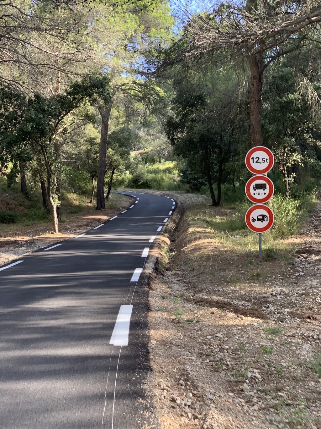
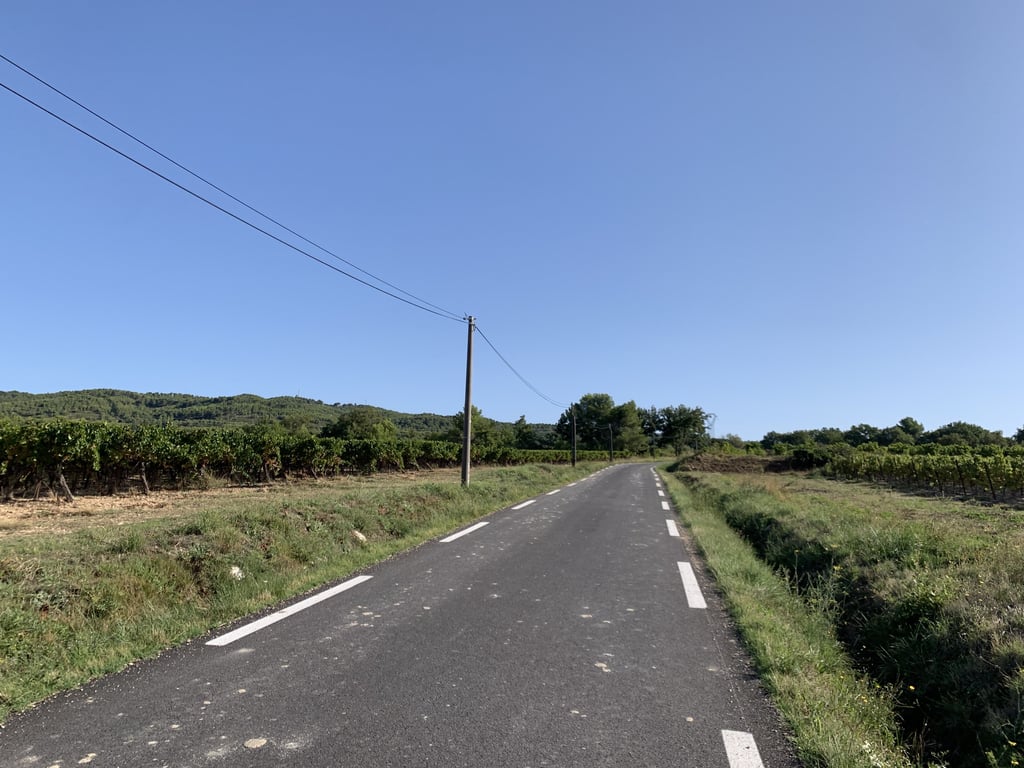
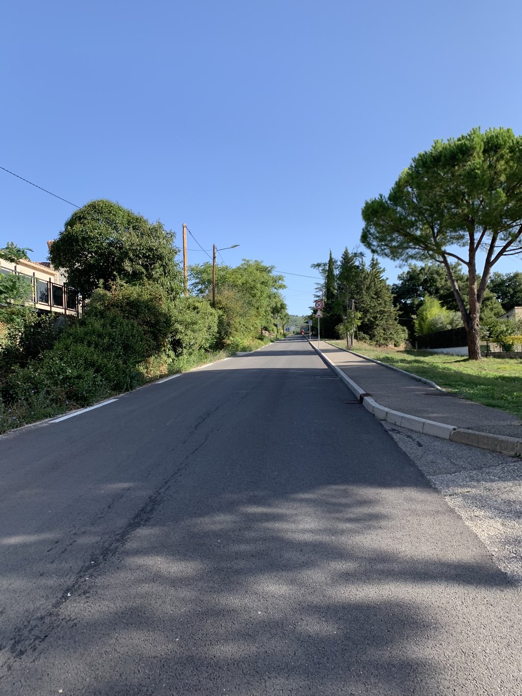
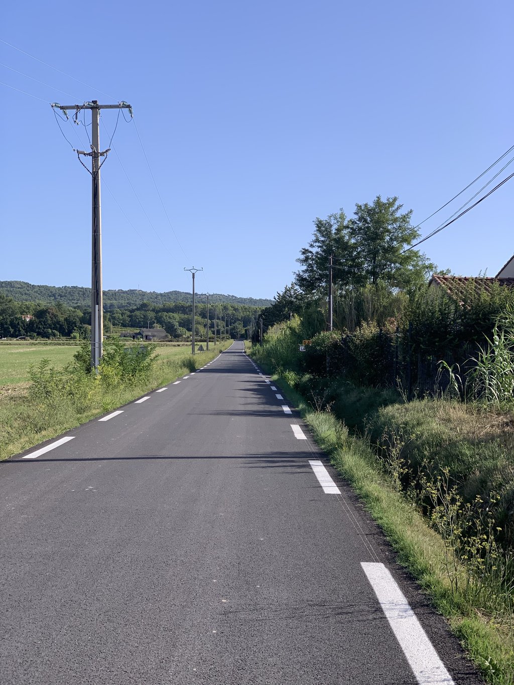
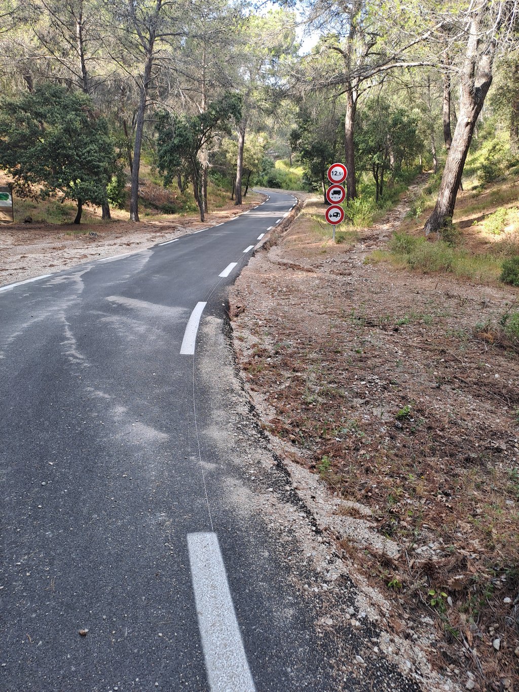
From Lambesc you follow the road, false flat in the open part, in summer the temperatures can be quite high. The road continues along vineyards towards the forest. In the forest the slope becomes steeper and steeper. At the sign forbidden for caravans the percentages shoot up to 10%. If the temperature in Provence hasn't exhausted you, this climb will.
Vanaf Lambesc volg je de weg, vals plat in het open stuk, in de zomer kunnen de temperaturen aardig op lopen. De weg vervolgt langs wijnvelden richting het bos. In het bos wordt vals plat steeds steiler. Bij het bord verboden voor caravans schieten de percentages boven de 10%. Als je nog niet uitgeput bent van de temperatuur in de Provence dan wel van deze klim.
You don't need special gearing for Col de Sainte Anne. The slope isn't long or steep enough to require much shifting down. You can conquer this climb on power alone. However, a compact gearing system with a smallest front chainring of 34 and largest rear sprocket of 28 or 30 is always nice if you enjoy cycling uphill. This helps maintain a smooth cadence.
Col de Sainte Anne is a 3rd-category climb. Almost anyone can handle this climb, as long as you have a bike with climbing gears. If you have little training, you will probably need to shift down significantly. For experienced riders, Col de Sainte Anne is not a problem.
Col de Sainte Anne is 3.9 km long.
The average gradient of Col de Sainte Anne is 5.8%.
Col de Sainte Anne has a steepest segment with an average gradient of 13.7%.
The summit of Col de Sainte Anne is at 427 m.
At a slow pace of 7 km/h, it takes about 00:33:47 to climb Col de Sainte Anne. At 11 km/h the time is 00:21:30, and at 15 km/h 00:15:46. For the fastest cyclists, 00:12:26 is an achievable time.