Tips nearby


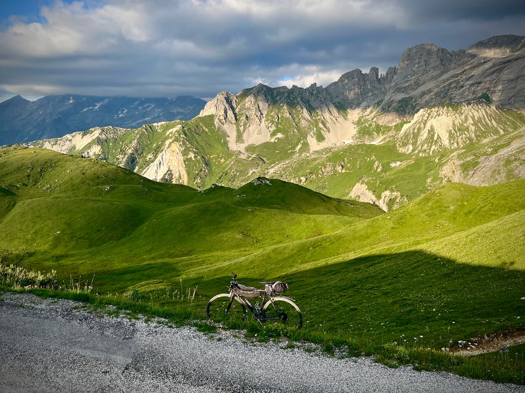
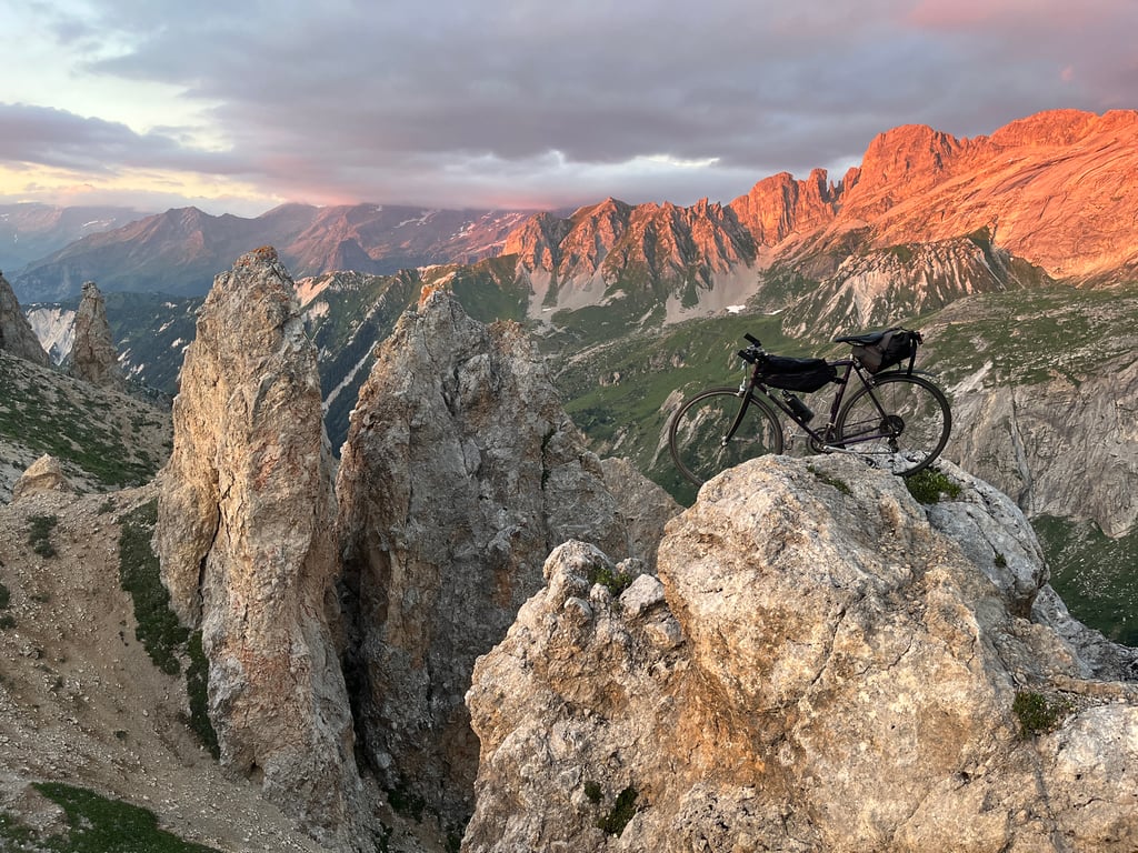
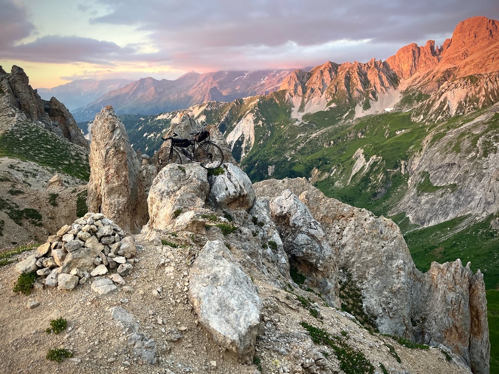
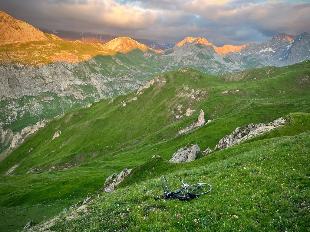
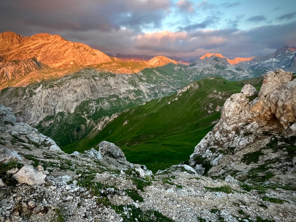
| Beautiful scenery |
| Hidden gem |
| 25 hairpin turns |
| Gravel |
| #7 toughest climb of France |
| #19 most elevation gain of France |
| #75 longest climb of Auvergne-Rhône-Alpes |
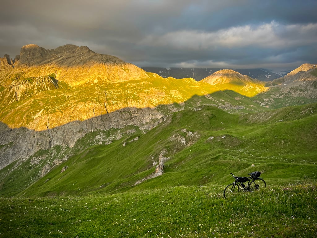
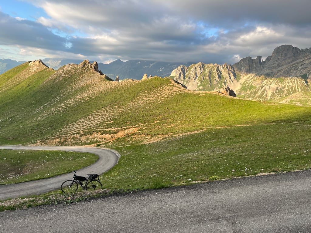
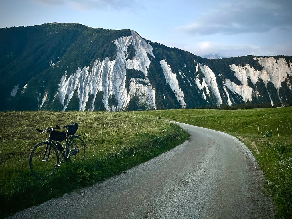
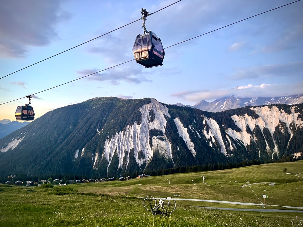
Col de la Platta from Grand Carrey / Brides les Bains is a climb in the region Savoie. It is 20.5 km long and bridges 1560 m of vertical ascent with an average gradient of 7.6%, resulting in a difficulty score of 1387. The top of the ascent is located at 2405 m above sea level. Climbfinder users shared 2 reviews of this climb and uploaded 15 photos.
Road names: Route du Grand Pont, D 91a, Rue du Lac, Route de la Choulière, Route des Eaux Vives, Route du Belvédère, Chemin de l'Ariondaz &
5.0 by CromagnonThis is an automatic translation, the original language is: French.This pass, forgotten and shunned by cyclists, is simply magnificent! Without Climbfinder, I’d never have heard of this fantastic climb. Thank you, Climbfinder! Why hasn’t anyone climbed this pass? Is it because the tourist office claims you need a mountain bike to tackle it? Or is it because of Fun’s comment, which merely describes the Climbfinder curve and which, in my opinion, if he’d actually climbed this pass, would have had more to say about it? 3 stars?!?Really?!! Just another p... read more

Welcome! Please activate your account if you would like to share something. Look for the verification email in your inbox.
If you want to upload your photos, you need to create an account. It only takes 1 minute and it's completely free.
 Continue with Google
 Continue with Facebook
 Continue with Apple
Sign up with email
Continue with Apple
Sign up with email
This pass, forgotten and shunned by cyclists, is simply magnificent!
Without Climbfinder, I’d never have heard of this fantastic climb.
Thank you, Climbfinder!
Why hasn’t anyone climbed this pass?
Is it because the tourist office claims you need a mountain bike to tackle it?
Or is it because of Fun’s comment, which merely describes the Climbfinder curve and which, in my opinion, if he’d actually climbed this pass, would have had more to say about it? 3 stars?!?Really?!! Just another pass? Really?
I almost gave up on tackling this pass too! That blasé comment and that one and only photo do nothing to inspire you to take on this climb. Where on earth did that photo come from, anyway? There are no roadworks, no cranes along the route of this climb.
I can confirm that the climb is perfectly manageable on a road bike. And I’m riding on 23mm tyres.
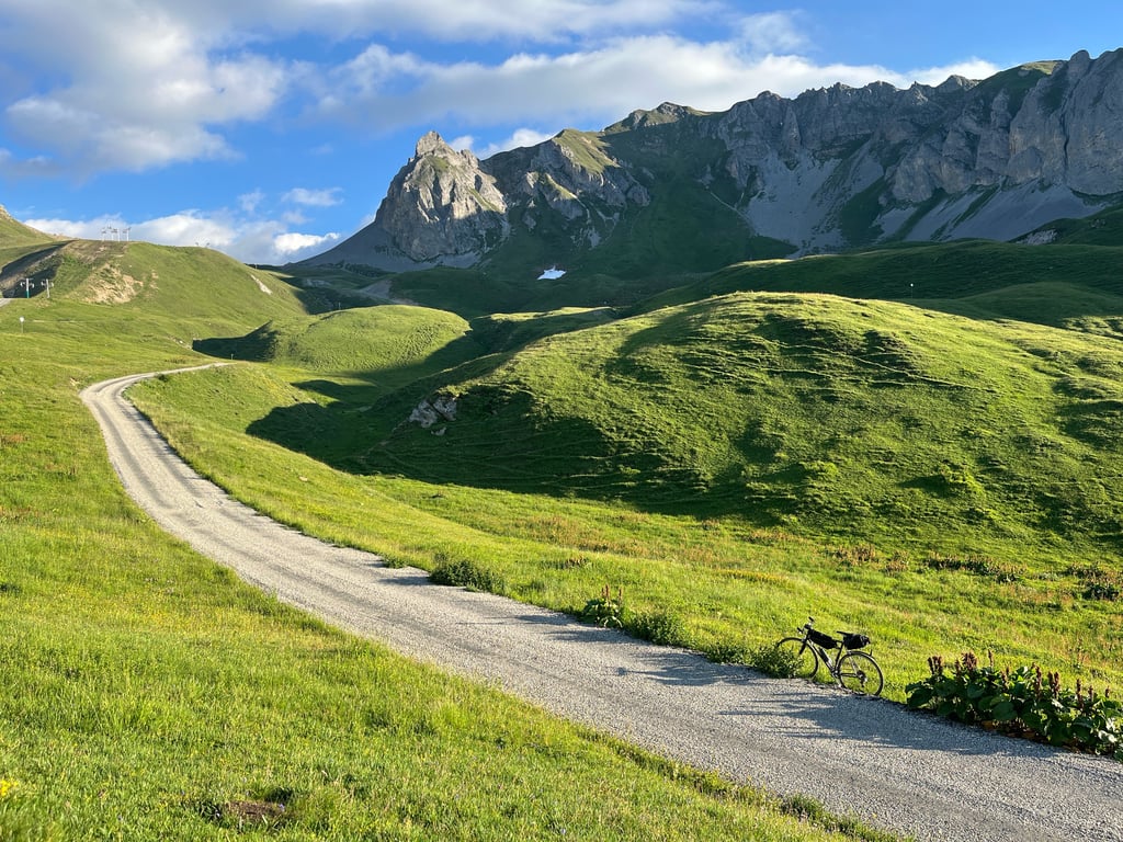
Yes, there’s quite a lot of gravel on the final few kilometres of this road, but no sections that are particularly difficult or treacherous. I’m referring to the road surface, not the gradients – which are just as rugged and untameable as on the final few kilometres of the Col de la Loze via Méribel…
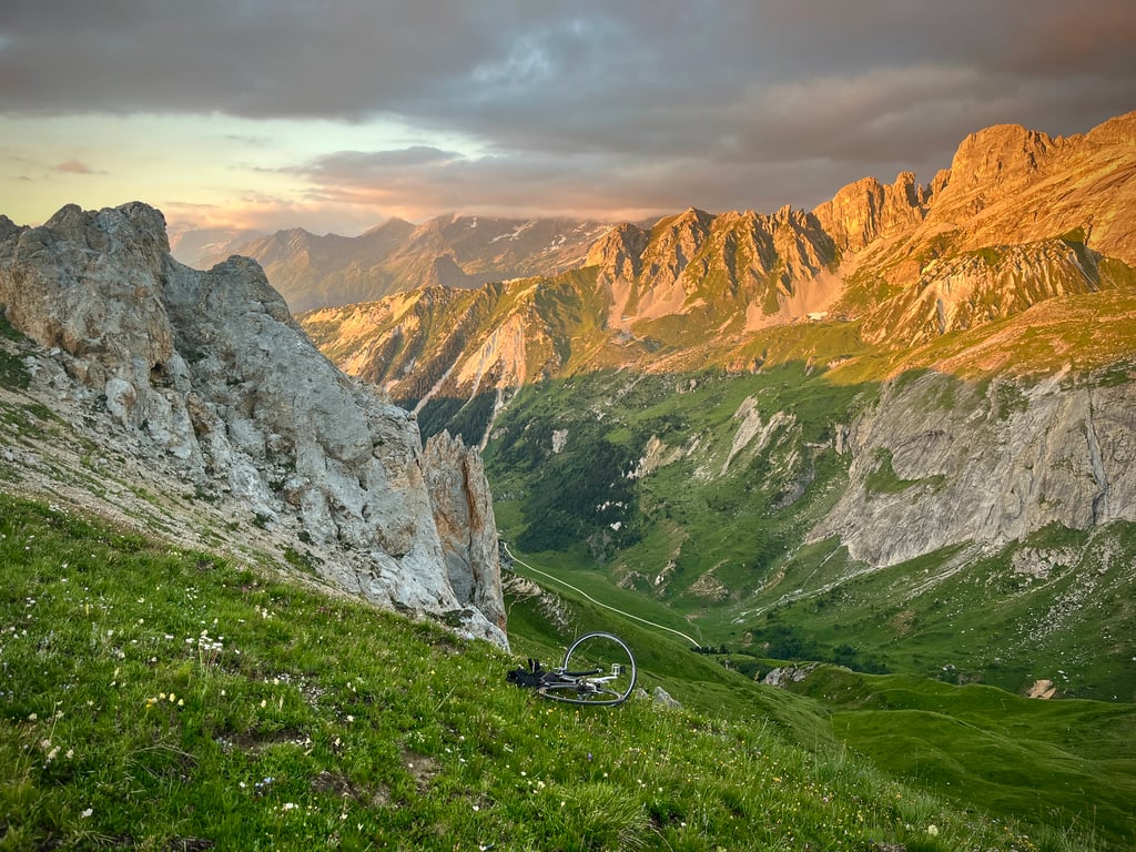
This Col de La Platta is a bit like a natural version of the Col de la Loze! In fact, it’s also an alpine trail. It’s absolutely wild. There’s a farm that makes and sells summer Beaufort cheese. Nothing else! Not a car, not a bike, not a hiker.
This pass (or at least its final 5 kilometres) is extremely demanding. The gradients are more erratic than a sat-nav entrusted to a sleepless marmot. A succession of steep sections that merrily exceed 16 per cent.
A splendid Way of the Cross, a divine power drain. A wall where oxygen is scarce! And yes, above 2,400 metres, the final stretch gets properly tough. Especially as the gradients keep fluctuating like the price of Bitcoin on a Monday morning.
The reward is well worth the energy expended on those final, gruelling pedal strokes.
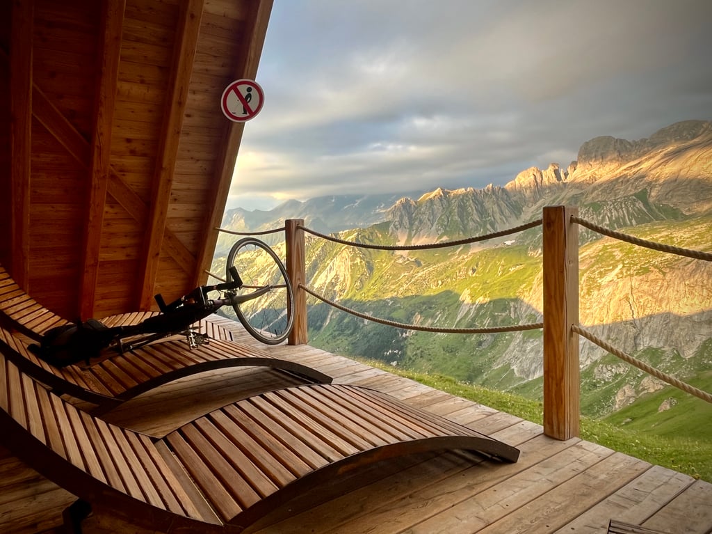
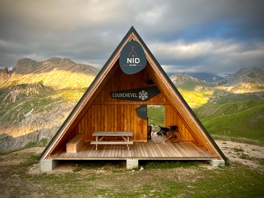
The town of Courchevel has built a sort of wooden Canadian-style shelter with deckchairs to enjoy the scenery. Thanks to them for this very successful little haven.
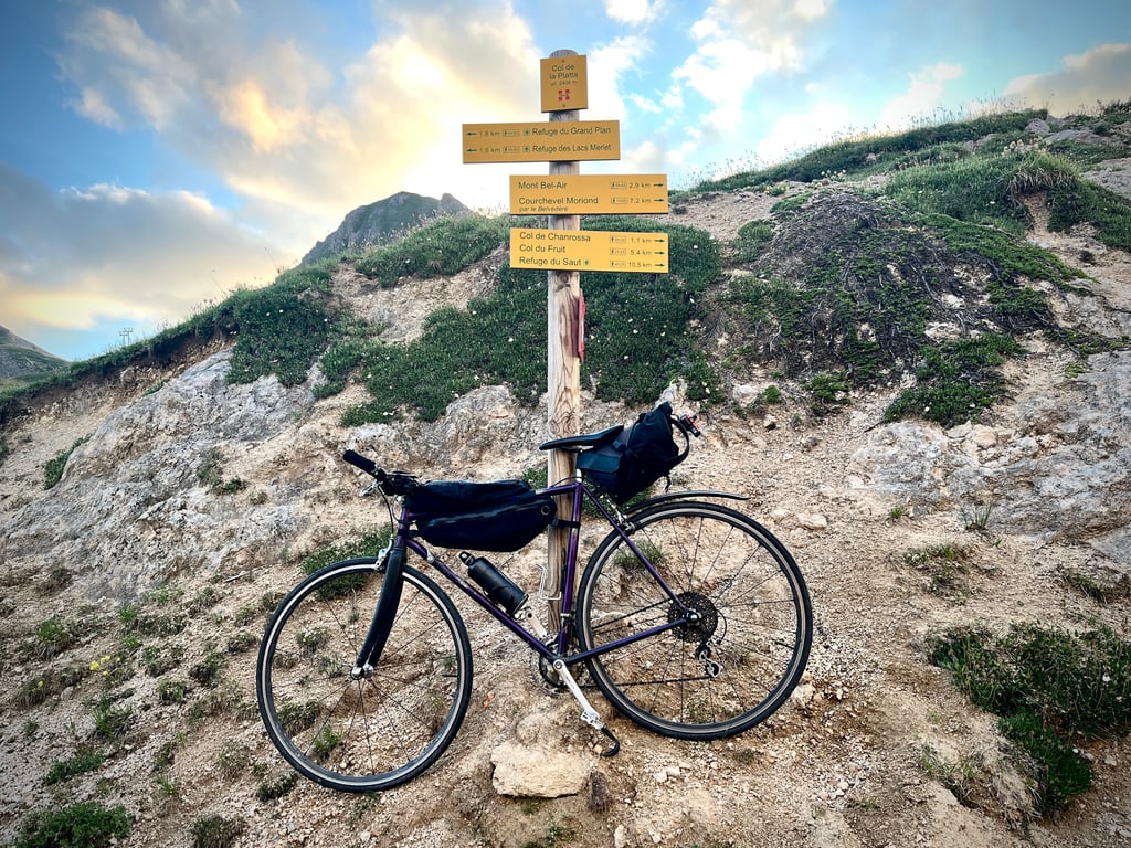
We spend quite a while looking for the sign marking the pass…
Just a small yellow square for hikers. Clearly, nothing is done to attract cyclists.
In principle, cyclists set off from Brides or Moutiers.
A few words on the first part of this climb: it’s the road linking Brides-les-Bains to Bozel. You turn right at the ‘Courchevel roundabout’.
Grand Carrey is just a bus stop.
A wide, clean county road, which today was terribly busy. Steep but manageable gradients (between 7 and 9 per cent). The traffic eases off once you start climbing towards Courchevel. You’ll pass through all the different areas of the Courchevel resorts until you reach Courchevel Moriond, also known as Courchevel 1650.
At the entrance, turn left and follow the signs for ‘Lac de Merlet’.
This is the Plan du Vah road, then the Ariondaz mountain pasture track. This is where it becomes superb, then sublime, then magical…
And also, difficult, then very difficult…
I loved the Col de la Loze. This Col de la Platta is every bit as good. And it’s so much more natural, wilder and at least as demanding. Its only drawback: it’s a dead-end pass! But what a superb dead end!
On the descent, watch out for the strange drainage channels.
Watch out for the loose gravel too.
Even the brilliant Cofidis mechanic, the manager of Véloland in Moutiers, didn’t know about this pass!
Do this pass justice! Go for it!
Thanks, Climbfinder!
Ce col oublié et boudé par les cyclistes est juste somptueux !
Sans Climbfinder, je n’aurais jamais entendu parler de cette formidable ascension.
Merci Climbfinder !
Pourquoi personne ne l’a grimpé, ce col ?
À cause de l’office du tourisme qui prétend qu’il faut un VTT pour en venir à bout ?
En raison du commentaire de Fun qui se contente de décrire la courbe Climbfinder et qui, selon moi, s’il avait gravi ce col, aurait eu des choses à nous en dire ?
3 étoiles ?!?
Vraiment ?!?
Un banal col parmi d’autres ?!?
Vraiment ?!?
Du coup, j’ai aussi failli renoncer à faire ce col !
Ce commentaire blasé et cette seule et unique photo qui n’incite pas à partir à l’assaut de cette montée… Elle vient d’où, d’ailleurs, cette photo ? Il n’y a aucun chantier, aucune grue sur le chemin de cette ascension.
À noter que justement non, « la dernière partie n’est pas sur du gravier ».
Je confirme que l’ascension est tout à fait possible sur un vélo de course. Et je roule sur des pneus de 23mm.
Oui, il y a pas mal de gravillons sur les derniers kilomètres de cette route, mais aucun passage vraiment difficile ou piégeux. Je me réfère au revêtement et non aux pourcentages qui eux sont aussi turbulents et indomptables que sur les derniers kilomètres du Col de la Loze par Méribel…
Ce col de La Platta, c’est un peu un col de la Loze naturel ! D’ailleurs, c’est aussi un chemin d’alpage. C’est absolument sauvage. Une ferme qui fabrique et vend son Beaufort d’été. Rien d’autre ! Pas une voiture, pas un vélo, pas un randonneur.
Ce col (en tout cas, ses 6 derniers kilomètres) est extrêmement exigeant. Les pourcentages sont plus instables qu’un GPS confié à une marmotte insomniaque. Une succession de raidards qui dépassent joyeusement les 16%.
Un splendide chemin de croix, un divin trou à watts. Un mur à oxygène rare ! Et oui, au dessus de 2400m, la fin devient franchement épicée. D’autant que les pourcentages continuent à s’énerver comme le cours du Bitcoin, un lundi matin.
La récompense est digne de l’énergie laissée sur ces derniers coups de pédales usants.
La ville de Courchevel a construit une espèce de tente canadienne en bois avec chaises longues pour profiter du paysage. Merci à eux pour ce nid très réussi.
On cherche pendant un bon moment le panneau matérialisant le col…
Juste un petit carré jaune pour les randonneurs. Décidément, rien n’est fait pour attirer les cyclistes.
Quelques mots sur la première partie de cette ascension. A priori, les cyclistes démarrent de Brides ou de Moutiers. C’est la route qui relie Brides-les-Bains à Bozel. On tourne à droite au niveau du « rond-point Courchevel ».
Grand Carrey, ce n’est qu’un arrêt de bus.
Une grande route départementale propre, qui, aujourd’hui, était affreusement très fréquentée. Des pourcentages sérieux mais raisonnables (entre 7 et 9%). La circulation se calme une fois que l’on monte vers Courchevel. On va traverser toutes les strates des différentes stations de Courchevel jusqu’à Courchevel Moriond qui est aussi connue comme Courchevel 1650.
À l’entrée, on bifurque à gauche et il faut suivre les panneaux « Lacs Merlet, Bel Air ».
C’est la route du Plan du Vah, qui deviendra le chemin d’alpage d’Ariondaz. C’est là que ça devient splendide, puis sublime, puis magique…
Et aussi, difficile, puis très difficile…
J’ai adoré le col de la Loze. Ce col de la Platta n’a rien à lui envier. Et il est tellement plus naturel, plus sauvage et au moins aussi exigeant. Son seul défaut : c’est un col cul de sac ! Mais quel superbe cul de sac !
Lors de la descente, attention aux étranges rigoles d’évacuation d’eau.
Attention aussi aux gravillons.
Même le super mécano de la Cofidis, le gérant du Véloland de Moutiers, ne connaissait pas ce col ! Lui, va aller le découvrir !
Faites comme lui : rendez justice à ce col ! Foncez !
Merci Climbfinder !
| 7 km/h | 02:55:46 |
| 11 km/h | 01:51:51 |
| 15 km/h | 01:22:01 |
| 19 km/h | 01:04:45 |
This page is better in the app