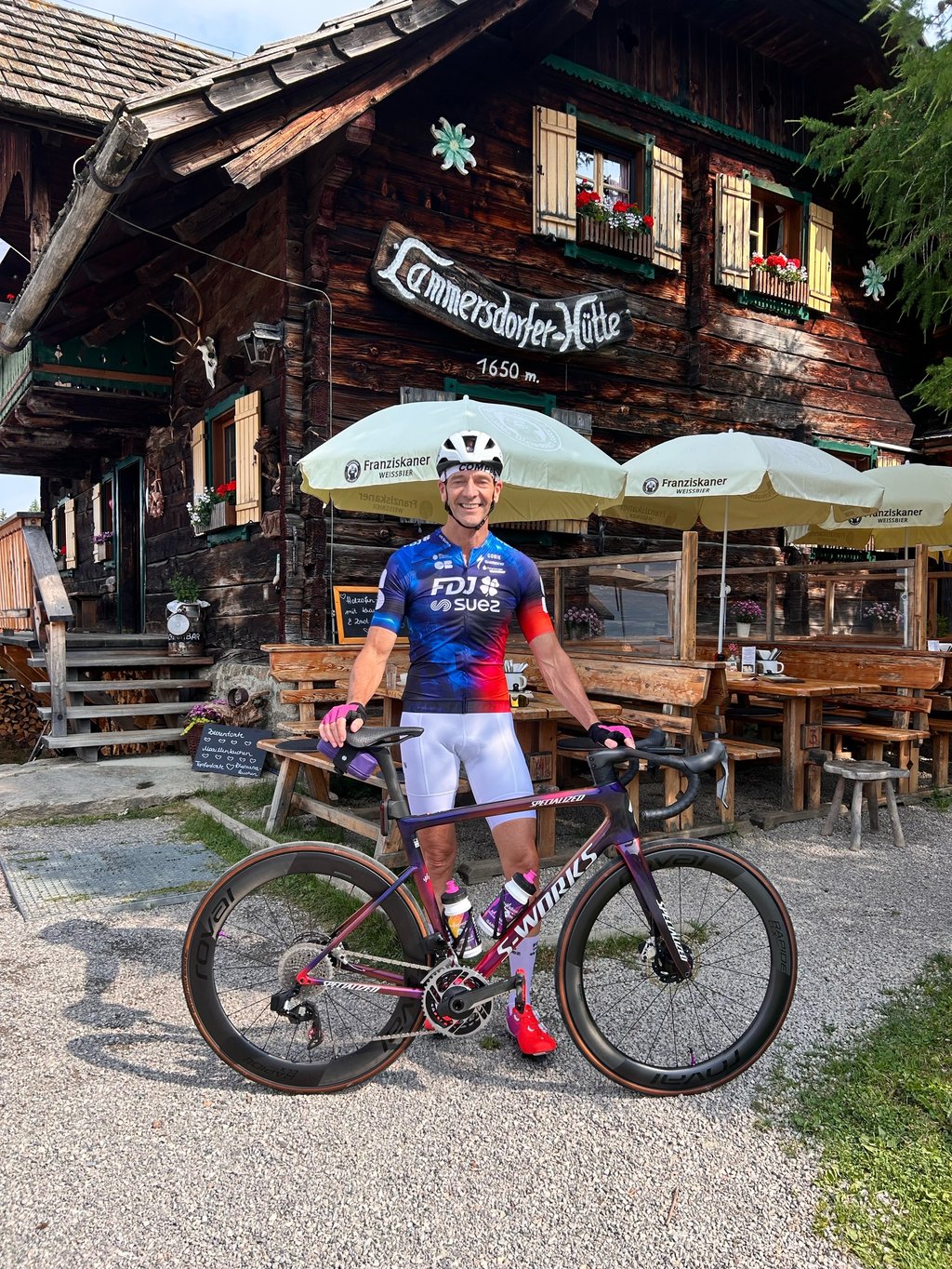
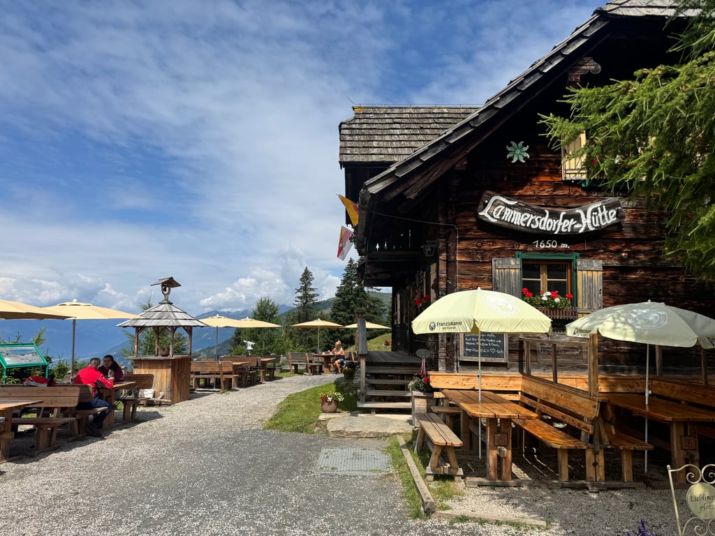
Lammersdorfer Hütte is a climb in the region Carinthia. It is 3.2 mi long and bridges 2635 ft of vertical ascent with an average gradient of 15.8%, resulting in a difficulty score of 1312. The top of the ascent is located at 5453 ft above sea level. Climbfinder users shared 5 reviews of this climb and uploaded 18 photos.
This is an automatic translation, the original language is: Dutch.
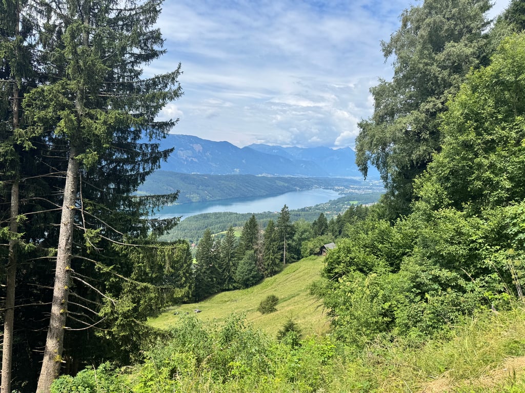
Fantastic but very tough climb. But worthwhile for that very reason. The tarmac in the first part is very good, but then moderate towards the top. This is one of the few climbs where it is nice to cycle among the trees because you get very hot anyway with the effort and little driving wind. At the top is a very cosy mountain hut and a great view. The descent is less so because all you are doing is braking and the gullies for rainwater drainage are irritating. But stopping now and then to let the...read more
Photos (18)
Welcome! Please activate your account if you would like to share something. Look for the verification email in your inbox.
This is an automatic translation, the original language is: Dutch.
Show original
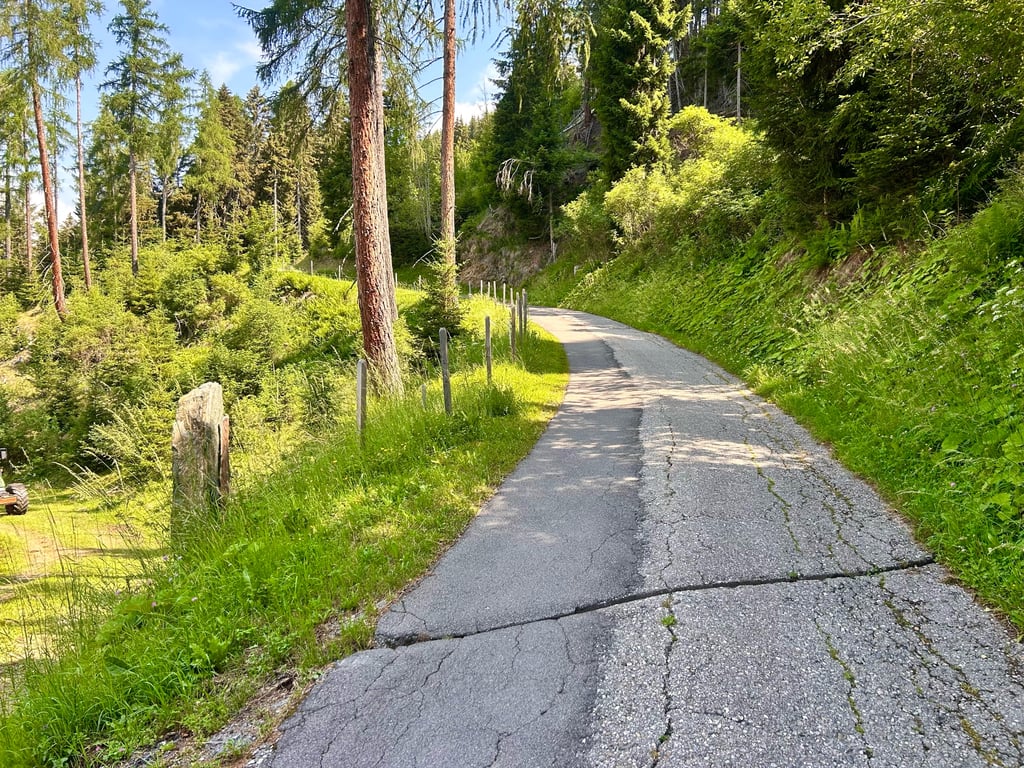
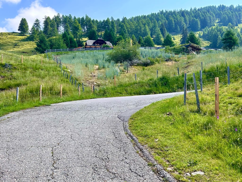
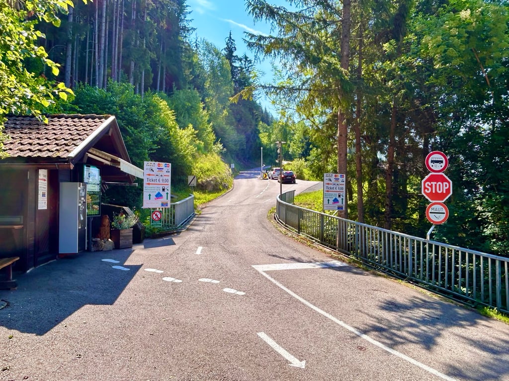
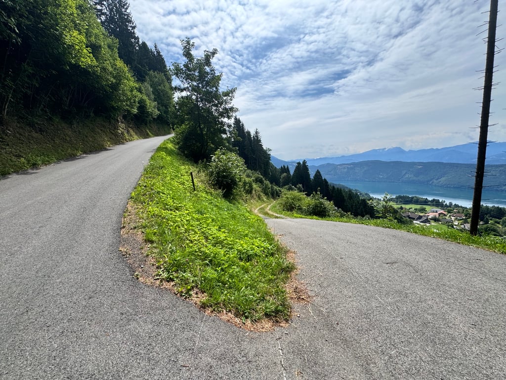
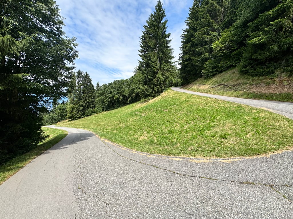
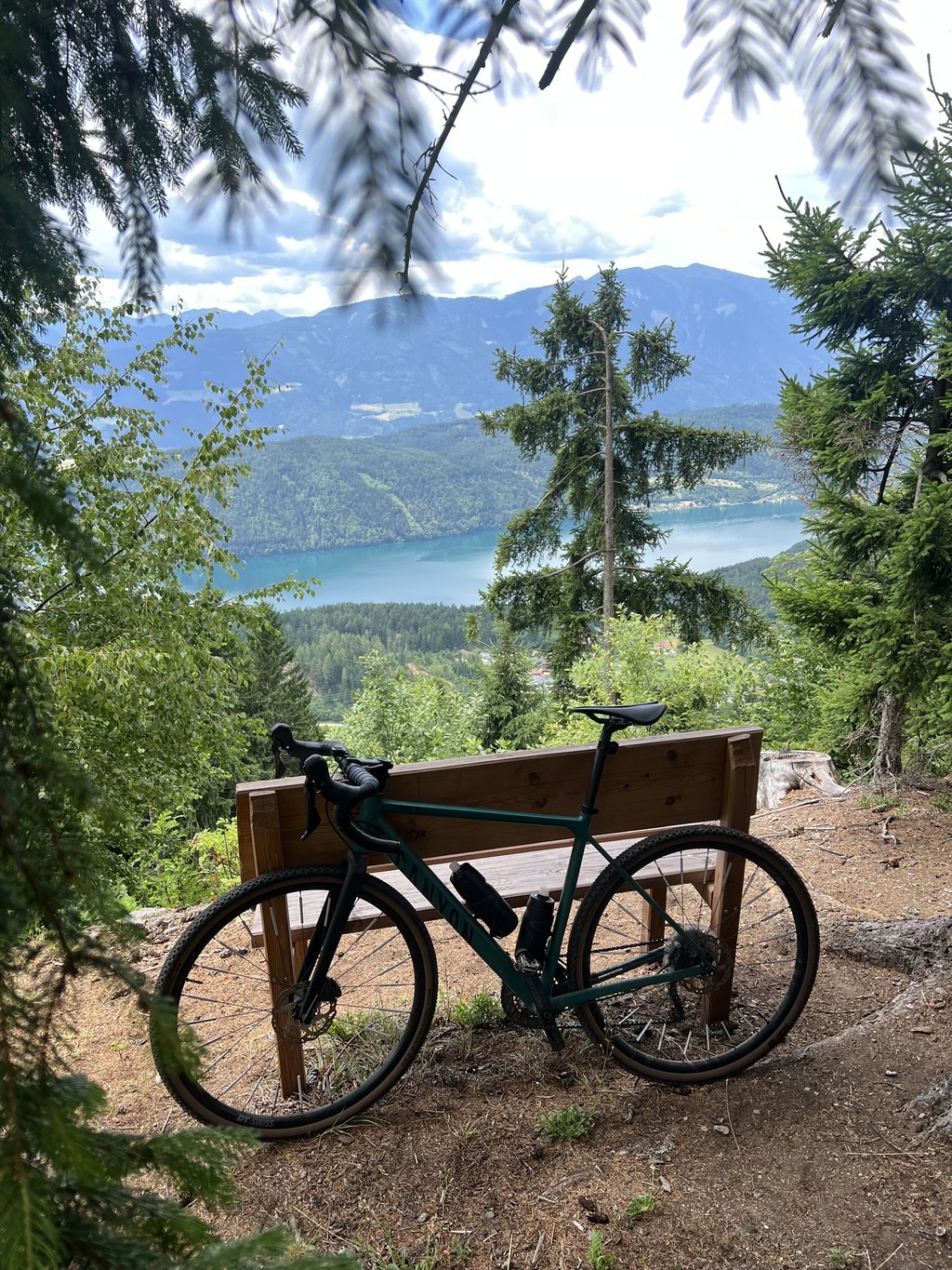
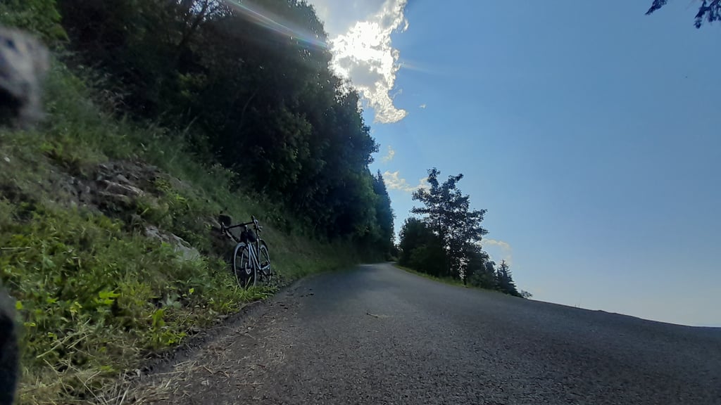
Cycled up on June 30, 2026. Started at 8:30 a.m. because the climb is still mostly in the shade at that time. In addition to the long granfondos with >200 km and >4,000 hm, I also really love climbs like this. It’s a challenge because you know that once you get off your bike, it’s hard to get going again due to the steepness of the climb. Just past the small toll booth (free for cyclists), the gradients jump well into the double digits. The first kilometer starts off on asphalt as smooth as a billiard table; afterward, the road surface deteriorates (though it’s still great compared to our Belgian Ardennes, mind you!) and you regularly encounter 10–15 cm wide ruts filled with water, which add an extra challenge to this steep climb. Only in a few turns does the gradient drop to 13%, and you almost get the feeling that you’re riding on flat ground again, but that lasts only a very short time—just long enough to quickly take a sip from your water bottle. It remains steep right up to the very last meter, when you park your bike with great pride and satisfaction on the terrace of the small yet fairy-tale-like Lammersdorfer hut and accept the congratulations from the people who passed you by car. The climb is comparable to the Kitzbühel Horn, but personally I found the Monte Zoncolan even harder—likely because the Zoncolan is twice as long and has an additional 400hm. The descent isn’t much fun until about a kilometer before the toll gate because you have to brake constantly and navigate through yet another series of water-filled ruts. The last kilometer before the toll gate has fewer turns, no gullies, and on the smooth asphalt you can ease off the brakes for a bit—but be aware that you’ll pick up quite a bit of speed very quickly! I’m super happy with this experience!!
Omhoog gefietst op 30 juni 2026. Gestart om 8u30 omdat dan de helling nog grotendeels in de schaduw ligt. Naast de lange granfondo’s met >200km en >4000hm hou ik ook ontzettend veel van dit soort beklimmingen. Het vormt een uitdaging omdat je weet dat eens je van de fiets moet je moeilijk weer kan starten door de steilte van de helling. Net na het tol-stationnetje (vrij voor fietsers) stijgen de percentages dik in de dubbele cijfers. De eerste kilometer gaat aanvankelijk over biljart vlak asfalt ; nadien wordt het minder van kwaliteit (nog steeds super in vergelijking met onze Belgische Ardennen hoor !) en krijg je ook met regelmaat de 10-15cm brede watergeulen die een extra uitdaging vormen op deze steile beklimming. Enkel in een paar bochten zakt het percentage tot een 13% en krijg je bijna het gevoel dat je weer op het vlakke rijdt maar dat is maar heel kort ; net genoeg om snel even van je bidon te drinken. Het blijft steil tot de laatste meter als je je fiets met grote trots en voldoening parkeert op het terras van het kleine doch sprookjesachtige Lammersdorfer hutje en de felicitaties van de mensen die je met de auto voorbij reden mag aanvaarden. De beklimming is vergelijkbaar met de Kitzbuhel Horn maar persoonlijk vond ik de Monte Zoncolan nog moeilijker ; allicht doordat de Zoncolan dubbel zo lang is en nog eens 400hm extra heeft. De afdaling is tot een kilometer voor de tolpoort niet leuk doordat je continu moet remmen en opnieuw de zovele watergeulen moet passeren. De laatste kilometer voor de tolpoort heeft minder bochten, geen geulen en op het gladde asfalt kan je de remmen even lossen maar weet dat je heel snel behoorlijk wat speed maakt ! Super blij met deze ervaring !!
This is an automatic translation, the original language is: Dutch.
Show original
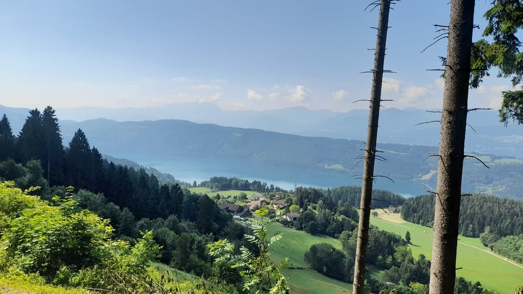
Fantastic but very tough climb. But worthwhile for that very reason. The tarmac in the first part is very good, but then moderate towards the top. This is one of the few climbs where it is nice to cycle among the trees because you get very hot anyway with the effort and little driving wind. At the top is a very cosy mountain hut and a great view. The descent is less so because all you are doing is braking and the gullies for rainwater drainage are irritating. But stopping now and then to let the brakes cool down and enjoy the view is no punishment!
Fantastische maar zeer zware klim. Maar juist daarom de moeite waard. Het asfalt in het eerste deel is heel goed, maar daarna matig richting de top. Dit is een van de weinige klimmen waar het fijn is dat je tussen de bomen fietst omdat je het toch al erg warm krijgt met de inspanning en weinig rijwind. Op de top is een hele gezellige berghut en een prachtig uitzicht. De afdaling is minder omdat je alleen maar aan het remmen bent en de geulen voor de regenwaterafvoer irritant zijn. Maar af en toe stoppen om de remmen te laten afkoelen en van het uitzicht te genieten is geen straf!
This is an automatic translation, the original language is: Dutch.
Show original
According to Fiets500, this climb is (by far) the steepest in Europe. The profile says enough, but not everything. From the first metre, it is plodding and wallowing along the (reasonably good) road. It is an attack on your knees and back, as all suppleness disappears from the 1st pedal stroke. In the closing kilometres you are rewarded for your agony, when you are treated to several stunning panorama's. At the summit, you can relax and enjoy a snack and a drink. One to look back on with pride when you have made it!
Volgens Fiets500 is deze klim (met voorsprong) de steilste van Europa. Het profiel zegt genoeg, maar niet alles. Vanaf de eerste meter is het ploeteren en zwalpen over de (redelijk goede) weg. Het is een aanslag op je knieën en rug, want alle souplesse verdwijnt vanaf de 1ste pedaalslag. In de slotkilometers word je beloond voor je lijdensweg, wanneer je getrakteerd wordt op meerdere prachtige panorama's. Op de top kan je rustig nagenieten van een hapje en een drankje. Eentje om met trots op terug te kijken wanneer je het gehaald hebt!
This is an automatic translation, the original language is: German.
Show original
The Lammersdorferhütte is also one of the notorious "Carinthian monsters". I am inclined to say "and yet it moves"; sometimes I had the feeling that the crank stopped...
If you want it short but really brutal, this is the place to be. KA training at ~40 RPM - here is the perfect mountain.
And a nice example of how measurable numbers and "credit points" and degrees of hardness determined from them can be deceptive. My subjective perception rates this ~6km Lammersdorfer Hütte as at least equal to the 17km Oscheniksee.
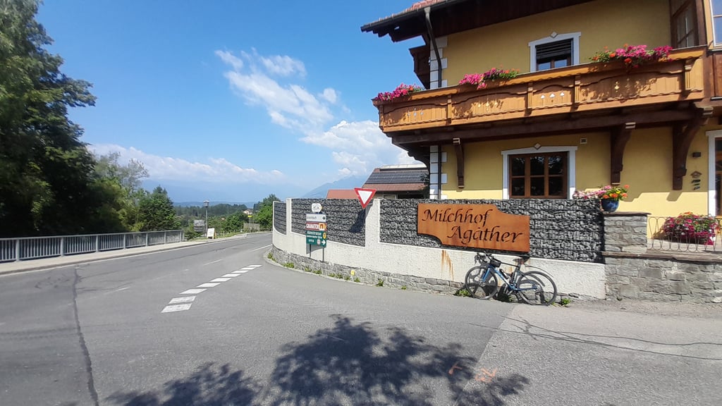
Short description. From the Millstätter See it starts quite normally. After some curves and overcome altitude meters a sign to the Lammersdorfer Almstraße shows the way. Then the inferno begins and at the latest after the tollgate (cyclists free) you must first find a SM club that offers comparable 😉
Auch die Lammersdorferhütte gehört zu den berüchtigten „Kärtner Monstern“. Ich bin geneigt zu sagen „und sie bewegt sich doch“; mitunter hatte ich das Gefühl, dass die Kurbel stehenblieb...
Wer‘s kurz und dafür richtig brutal möchte, der ist hier richtig. KA-Training bei ~40 U/m - hier ist der perfekte Berg.
Und ein schönes Beispiel dafür, dass messbare Zahlen und daraus ermittelte „Creditpoints“ und Härtegrade trügerisch sein können. Meine subjektive Wahrnehmung schätzt diese ~6km Lammersdorfer Hütte mit den 17km Oscheniksee als mindestens gleichwertig ein.
Kurze Beschreibung. Vom Millstätter See aus geht es recht normal los. Nach einigen Kurven und überwundenen Höhenmeter weist ein Schild zur Lammersdorfer Almstraße den Weg. Dann beginnt das Inferno und spätestens nach der Mautschranke (Radfahrer frei) muss man erstmal einen SM-Club finden, der Vergleichbares bietet 😉
Share your knowledge. What was the road condition during your ascent?
Traffic
50% 50% 0%
Based on 2 votes
Your experience counts. How much traffic did you encounter during the climb?
Frequently Asked Questions
Lammersdorfer Hütte is a challenging ascent. For this type of climbing, we recommend mountain gearing, specifically a compact system. This means a small front chainring of 34 teeth, combined with a rear cassette where, depending on your level, strength, and experience, you choose a sprocket with 30, 32, or even 34 teeth. Remember that a smooth cadence is always more efficient!
Lammersdorfer Hütte belongs to the Hors Catégorie, the top category. These are legendary and very tough climbs. A solid cycling condition, experience, and a good climbing gear ratio are essential to maintain a smooth cadence and complete the climb comfortably.
Lammersdorfer Hütte is 3.2 mi long.
The average gradient of Lammersdorfer Hütte is 15.8%.
Lammersdorfer Hütte has a steepest segment with an average gradient of 22.6%.
The summit of Lammersdorfer Hütte is at 5453 ft.
At a slow pace of 5 mph, it takes about 00:38:08 to climb Lammersdorfer Hütte. At 7 mph the time is 00:27:00, and at 9 mph 00:21:02. For the fastest cyclists, 00:15:48 is an achievable time.
Lammersdorfer Hütte is located in the region Carinthia in Austria.





 Continue with Google
 Continue with Facebook
 Continue with Apple