| 10 hairpin turns |
| #64 toughest climb of Bolzano |
| #33 most elevation gain of Trentino-South Tyrol |
| #75 longest climb of Italy |
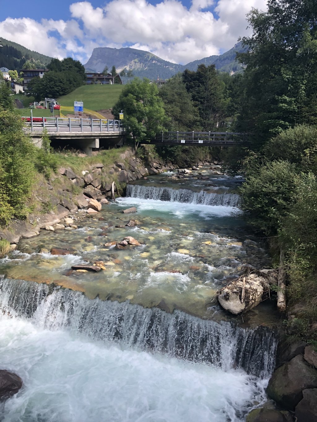
Plan de Gralba from Ponte Gardena is a climb in the region Dolomites. It is 28 km long and bridges 1389 m of vertical ascent with an average gradient of 5%, resulting in a difficulty score of 919. The top of the ascent is located at 1870 m above sea level. Climbfinder users shared 3 reviews of this climb and uploaded 8 photos.
Road name: SS242
Tunnels
Be careful! On this climb you will encounter dimly lit tunnels. Use your bike lights.
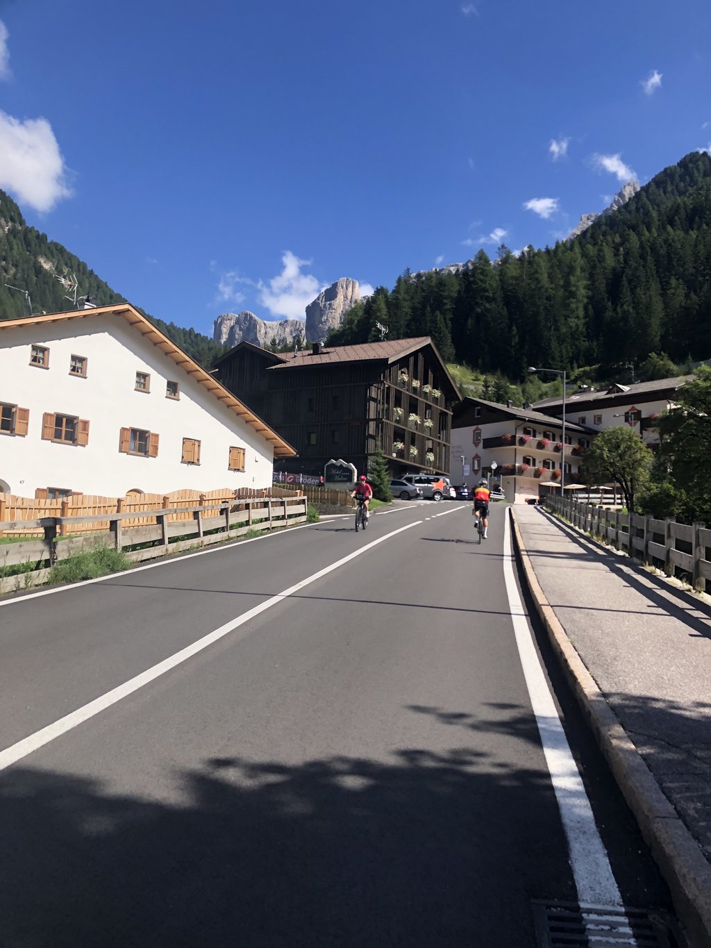
2.0 by RobertSThis is an automatic translation, the original language is: Dutch.The through road through the valley, so count on it being busy with cars's and trucks. They do take cyclists into account and they do not drive very fast. It is just a long climb to the start of the Sella Ronda through several villages in the valley. I didn't look around me much, because I was paying attention to the car traffic. If you want it quieter on the road, there are bike paths available for certain sections. I think you will make more altitude metres then, because they go up a... read more

Welcome! Please activate your account if you would like to share something. Look for the verification email in your inbox.
If you want to upload your photos, you need to create an account. It only takes 1 minute and it's completely free.
I cycled up here from Brixen to be able to cycle the Sellaronda. I don't need to cycle this climb again if it's not necessary. The cycle path, which sometimes deviates a little further from the road, is better.
Bin von Brixen aus hier hoch gefahren um dann die Sellaronda fahren zu können. Diesen Anstieg hier muss ich nicht nochmal fahren, wenn es nicht notwendig ist. Der Radweg der manchmal etwas weiter von der Straße abweicht ist besser.
Horrible. Dozens of kilometres on a running uphill profile. In passing traffic on relatively narrow lanes.
Verschrikkelijk. Tientallen kilometers aan een lopend stijgend profiel. In passage verkeer op relatief smalle banen.
The through road through the valley, so count on it being busy with cars's and trucks. They do take cyclists into account and they do not drive very fast. It is just a long climb to the start of the Sella Ronda through several villages in the valley. I didn't look around me much, because I was paying attention to the car traffic. If you want it quieter on the road, there are bike paths available for certain sections. I think you will make more altitude metres then, because they go up and down more.
De doorgaande weg door het dal, dus reken er maar op dat het druk is met auto's en vrachtwagens. Ze houden wel rekening met fietsers en er wordt niet heel hard gereden. Het is gewoon een lange klim naar de start van de Sella Ronda door verschillende dorpen in het dal. Ik heb niet veel om me heen gekeken, omdat ik op het autoverkeer aan het letten was. Wil je het rustiger hebben op de weg, dan zijn er voor bepaalde secties fietspaden beschikbaar. Volgens mij maak je dan wel meer hoogtemeters, omdat ze meer op en af gaan.
| 7 km/h | 03:59:55 |
| 11 km/h | 02:32:41 |
| 15 km/h | 01:51:58 |
| 19 km/h | 01:28:23 |
This page is better in the app