Tips nearby


| Beautiful scenery |
| 37 hairpin turns |
| #71 toughest climb of Trentino-South Tyrol |
| #52 most elevation gain of Italy |
| #56 longest climb of Italy |
Passo delle Erbe / Würzjoch from Millan / Milland is a climb in the region Dolomites. It is 29.4 km long and bridges 1595 m of vertical ascent with an average gradient of 5.4%, resulting in a difficulty score of 1087. The top of the ascent is located at 1993 m above sea level. Climbfinder users shared 3 reviews of this climb and uploaded 6 photos.
Road names: Via Plose & SP29
4.0 by JirkaCBeautiful views open after 6 kms and super in the last section. Moderate gradients nearly all the way, nothing too steep. Possible refreshment in several places. Just beware numerous long cracks in tarmac when going downhill fast. In sum - long pleasant climb.... read more
Welcome! Please activate your account if you would like to share something. Look for the verification email in your inbox.
If you want to upload your photos, you need to create an account. It only takes 1 minute and it's completely free.
Beautiful views open after 6 kms and super in the last section. Moderate gradients nearly all the way, nothing too steep. Possible refreshment in several places. Just beware numerous long cracks in tarmac when going downhill fast. In sum - long pleasant climb.
Climbed in early July, this is a really nice climb. The first 15km are somewhat steep and climb by 1000m, the remaining 15 km are varied with some downhill passages. Lovely valley views throughout. We descended via Lüsen which is a lovely valley. Overall this is a very quiet part of the Dolomites, we had unfortunately heavy rain on the way back.
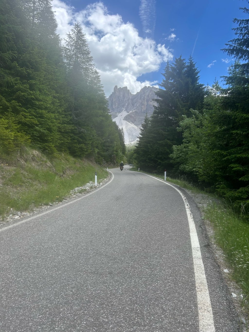
Starting in the Milland area, just outside the centre of Bressanone/Brixen, I cycled up the longest of the five possible climbing routes to the Passo delle Erbe/Würzjoch.
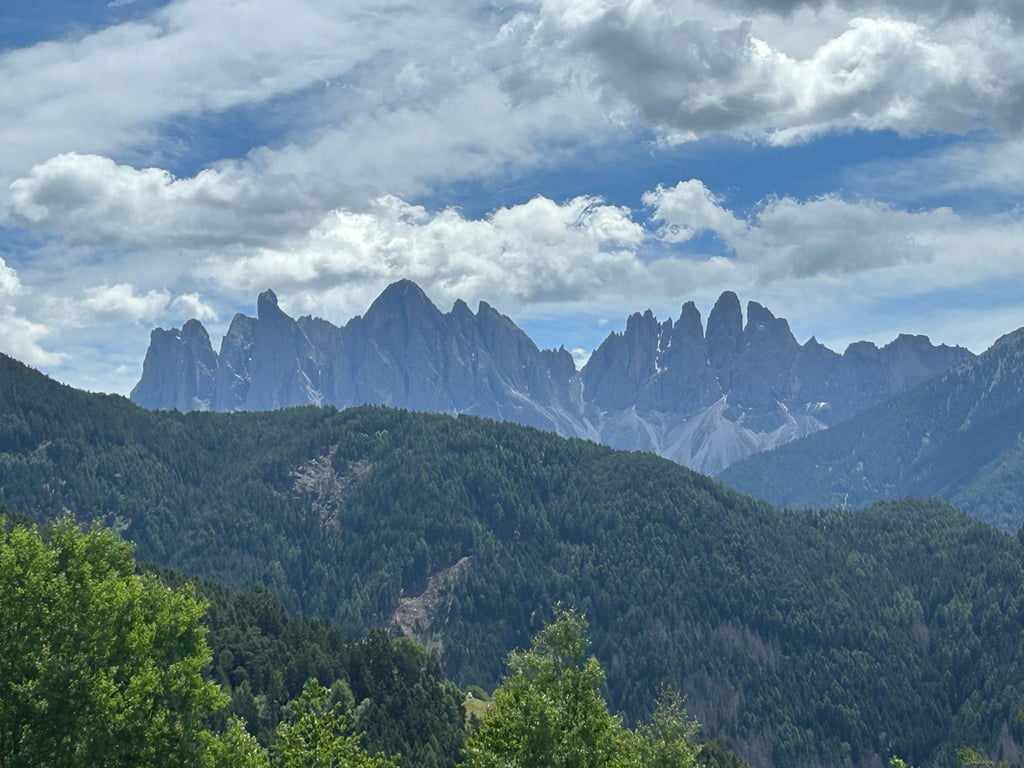
The start is wonderful, as you climb out of the wide Val Isarco/Eisackdal in a few hairpin bends, with magnificent views of the valley and your starting town. The first 16 kilometres rise on average, without extreme peaks, along a winding route from village to village through the silent pine forest.
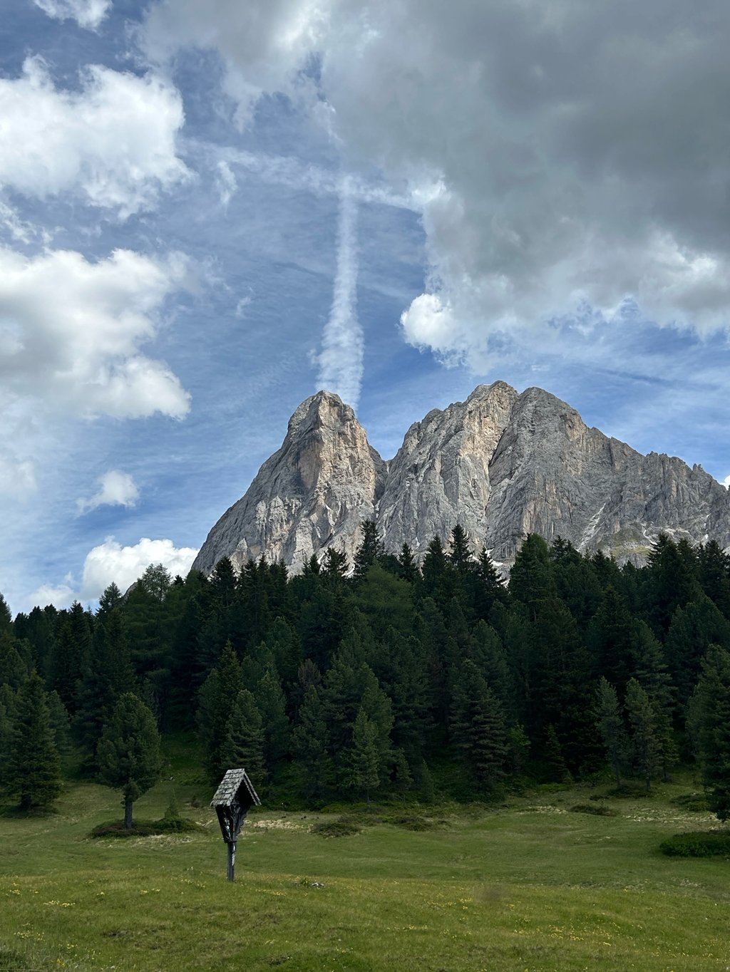
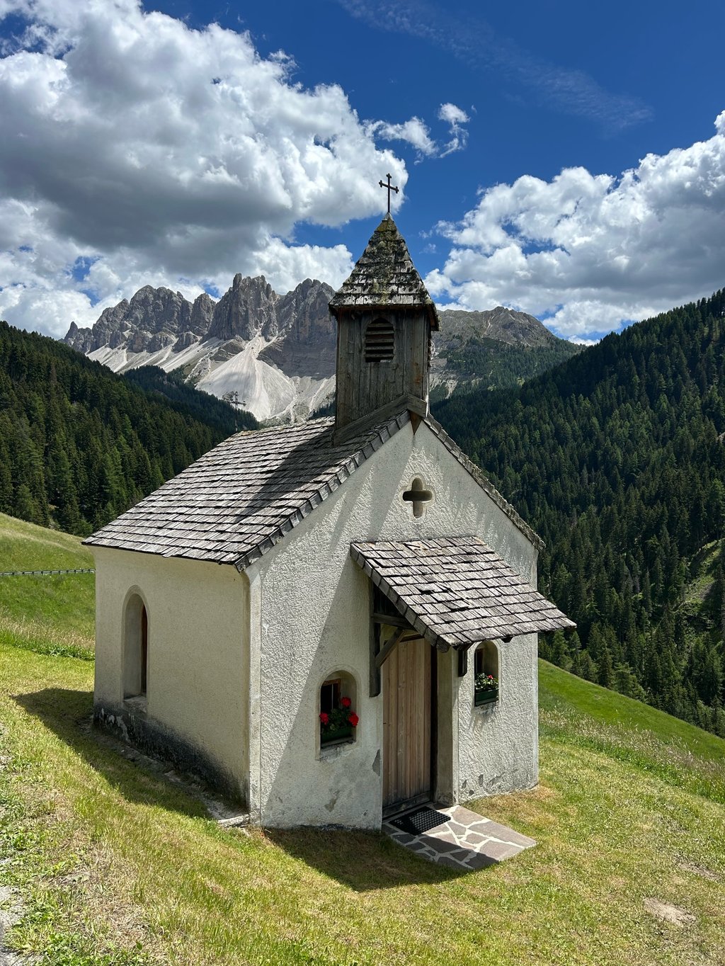
In the second half of the climb from Plancios/Palmschoss (exit Valcroce/Kreuztal see Climbfinder) the road narrows to one lane, there is less traffic and there are two descending strips (2x 3km) to climb back to the final to the beautiful pass height with albergo/hotel (provisioning). You have a fabulous view on the Sas De Putia/Peitlerkofel (2875m) which is part of the National Park Puez-Odle and part of the Unesco World Heritage.
Beautiful long climb, not the fame and status because of few Giro passages, but highly recommended!
Vertrekkend in de wijk Milland, even buiten centrum van Bressanone/Brixen, de langste van de vijf mogelijke klim routes naar de Passo delle Erbe/Würzjoch op gefietst.
De start is wondermooi wanneer je via enkele haarspeldbochten het bredeVal Isarco/Eisackdal uit klimt met schitterende vergezichten op de vallei en je vertrekstad, De eerste 16 kilometer stijgen gemiddeld zonder extreme uitschieters via een bochtige route van dorpje tot dorpje door het stille naaldwoud.
In de tweede klimhelft vanaf Plancios/Palmschoss (afslag Valcroce/Kreuztal zie Climbfinder) versmalt de weg tot 1 rijstrook, is er minder verkeer en zijn er twee dalende stroken (2x 3km) om naar het slot terug te klimmen naar de prachtige pashoogte met albergo/hotel (bevoorrading). Je hebt er fabelachtig zicht op de Sas De Putia/Peitlerkofel (2875m) deel uitmakend van het Nationaal Park Puez-Odle onderdeel van het Unesco Werelderfgoed.
Mooie lange klim, niet de bekendheid en de status wegens weinig Giro passages,doch absolute aanrader!
| 7 km/h | 04:12:12 |
| 11 km/h | 02:40:30 |
| 15 km/h | 01:57:42 |
| 19 km/h | 01:32:55 |
This page is better in the app