| 11 hairpin turns |
| #82 toughest climb of Trentino-South Tyrol |
| #53 most elevation gain of Trentino-South Tyrol |
| #58 longest climb of Trentino-South Tyrol |
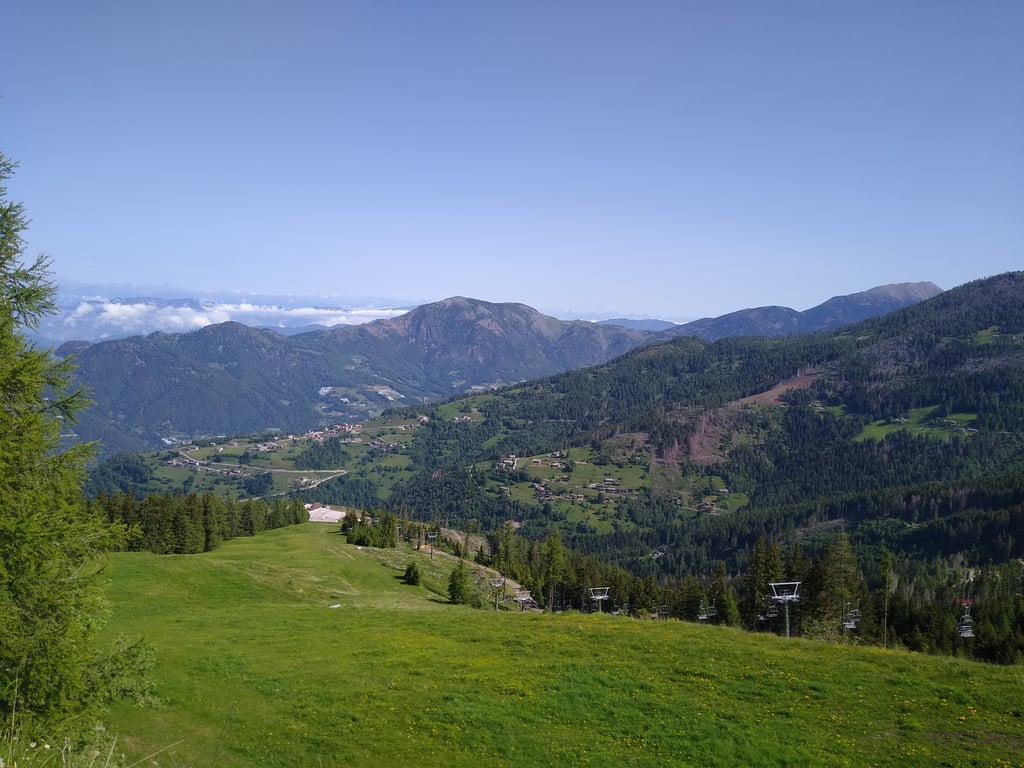
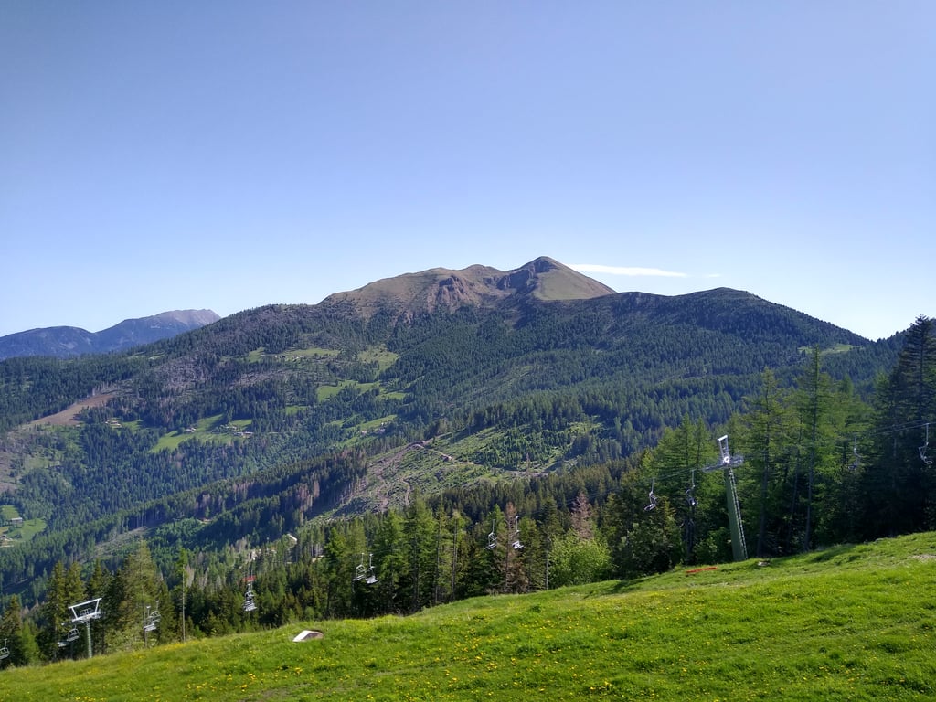
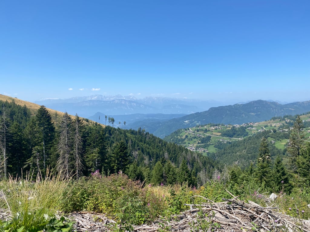
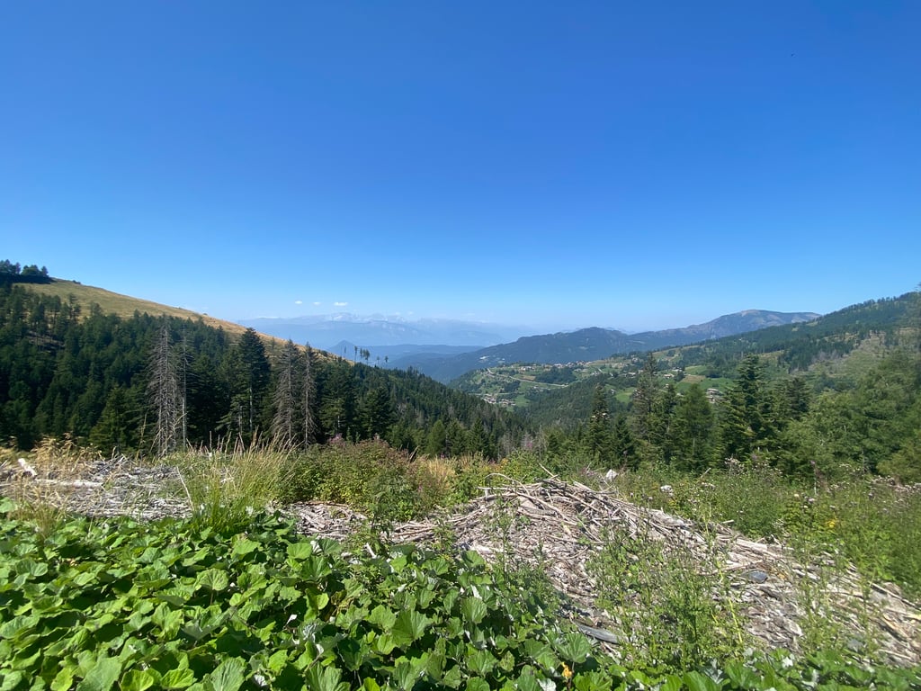
Panarotta from Canezza is a climb in the region Trento. It is 17.5 km long and bridges 1224 m of vertical ascent with an average gradient of 7%, resulting in a difficulty score of 1043. The top of the ascent is located at 1759 m above sea level. Climbfinder users shared 3 reviews of this climb and uploaded 5 photos.
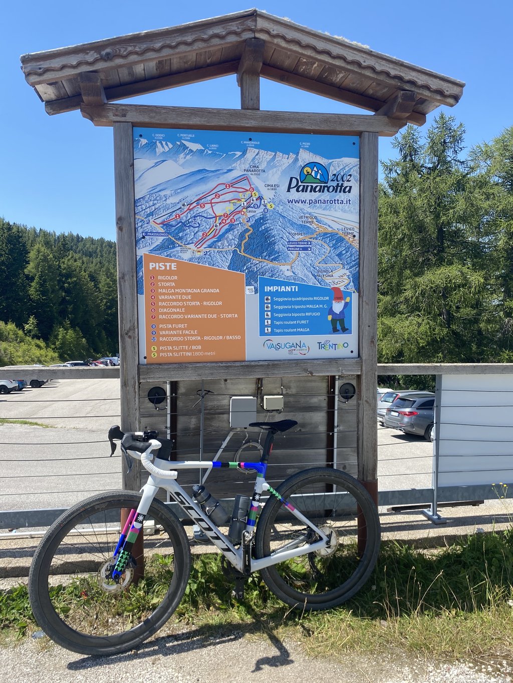
Road names: SP135, SP233 & Strada Provinciale di Vignola e Panarotta
4.0 by MammuThis is an automatic translation, the original language is: Italian.This route is strictly uphill. They’re actually doing a lot of roadworks along this route, but be careful on the way down – there might be a few surprises in store on some sections. It’s best to go up and down via the Levico road; that’s nice and safe.... read more
Welcome! Please activate your account if you would like to share something. Look for the verification email in your inbox.
If you want to upload your photos, you need to create an account. It only takes 1 minute and it's completely free.
This route is strictly uphill. They’re actually doing a lot of roadworks along this route, but be careful on the way down – there might be a few surprises in store on some sections. It’s best to go up and down via the Levico road; that’s nice and safe.
Percorso da fare rigorosamente in salita, in realtà stanno sistemando molto le strade di questo percorso, ma okkio in discesa un alcuni tratti di possono trovare delle sorprese. Meglio salire e scendere dalla strada di Levico, poi bello e sicuro
Very nice. Google MAPS says the road does NOT exist but peace. With a few old groundhog tricks it can be found. Where there is indication 10% be careful because for 1km it almost never goes below 12% with many stretches at 13 and 14%.
Molto bella. Google MAPS dice cha la strada NON esiste ma pace. Con qualche trucco da vecchia marmotta si trova. Dove c’è indicazione 10% attenzione perché per 1km non scende quasi mai sotto al 12% con molti tratti al 13 e 14%.
Descended this one when I drove up the side from Levico. This side is not recommended for descending. The road surface from the summit to half roads about is very bad, after that it does get good.
However, the road is narrow and you drive through a beautiful forest.
Riding on this is possible with road bikes.
Heb deze afgedaald toen ik de kant vanuit Levico omhoog heb gereden. Deze kant is niet aan te raden om af te dalen. Het wegdek van de top naar halve wegen ongeveer is erg slecht, daarna wordt het wel goed.
Wel is de weg smal en rij je door een mooi bos.
Hier op rijden kan met racefiets wel.
| 7 km/h | 02:29:45 |
| 11 km/h | 01:35:18 |
| 15 km/h | 01:09:53 |
| 19 km/h | 00:55:10 |
This page is better in the app