
Your achievable time
Calculating based on your best performances...
Relaxed
Maximum
W/kg
W/kg
W/kg
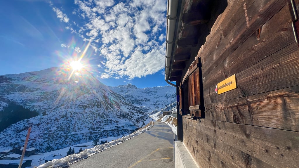
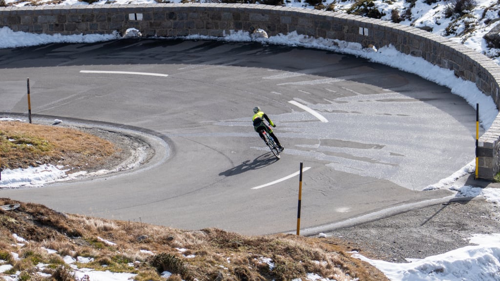
Analyse your climbing performance


Detailed insight into your climbing performance & automatically check off climbs
Based on your best performances.