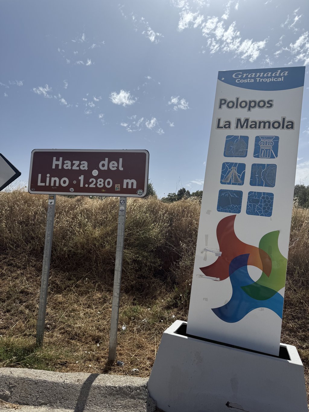
Haza del Lino from Castell de Ferro is a climb in the region Andalusia. It is 22.2 km long and bridges 1351 m of vertical ascent with an average gradient of 6.1%, resulting in a difficulty score of 1067. The top of the ascent is located at 1297 m above sea level. Climbfinder users shared 1 review/story of this climb and uploaded 4 photos.
Road names: GR-5209, GR-5206 & A-4131
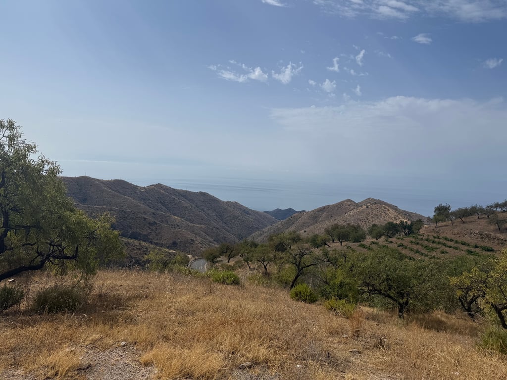
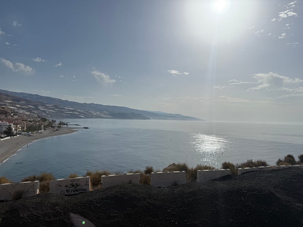
5.0 by Julmar73This is an automatic translation, the original language is: French.A very fine climb. With sometimes painful percentages. 10-12% sometimes even 15-16. But with gentler sections that allow a bit of recovery. The views are magnificent. The descent on the other side should encourage caution as the slopes are quite steep and the bends very tight.... read more
Welcome! Please activate your account if you would like to share something. Look for the verification email in your inbox.
If you want to upload your photos, you need to create an account. It only takes 1 minute and it's completely free.
A very fine climb. With sometimes painful percentages. 10-12% sometimes even 15-16. But with gentler sections that allow a bit of recovery. The views are magnificent. The descent on the other side should encourage caution as the slopes are quite steep and the bends very tight.
Très belle ascension. Avec des pourcentages parfois douloureux. 10-12% voire parfois 15-16. Mais avec des passages plus doux qui permettent un peu de récupération. Les vues sont magnifiques. La descente de l’autre côté doit inciter à la prudence car les pentes sont assez fortes et les virages très serrés
| 7 km/h | 03:10:18 |
| 11 km/h | 02:01:06 |
| 15 km/h | 01:28:48 |
| 19 km/h | 01:10:06 |
This page is better in the app