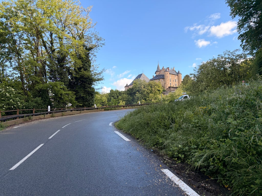
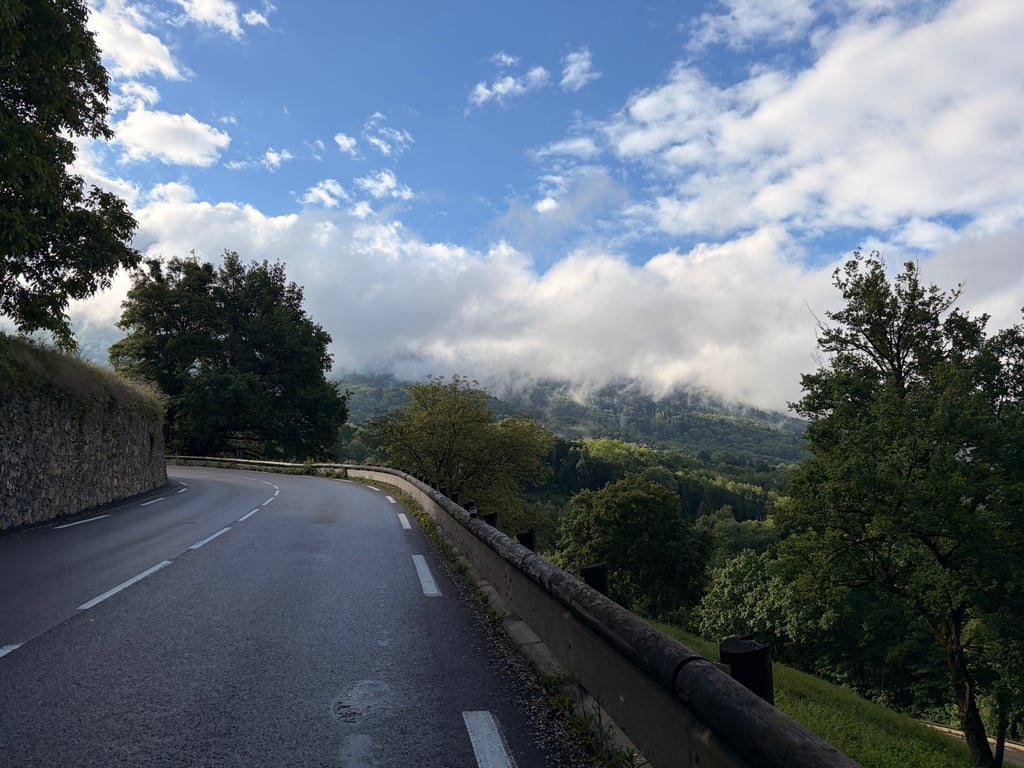
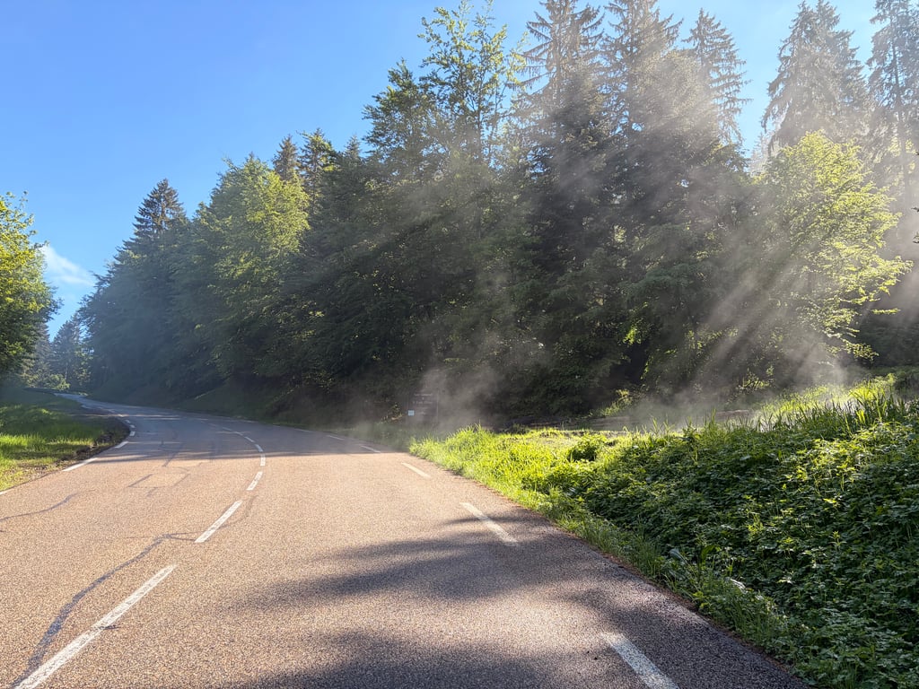
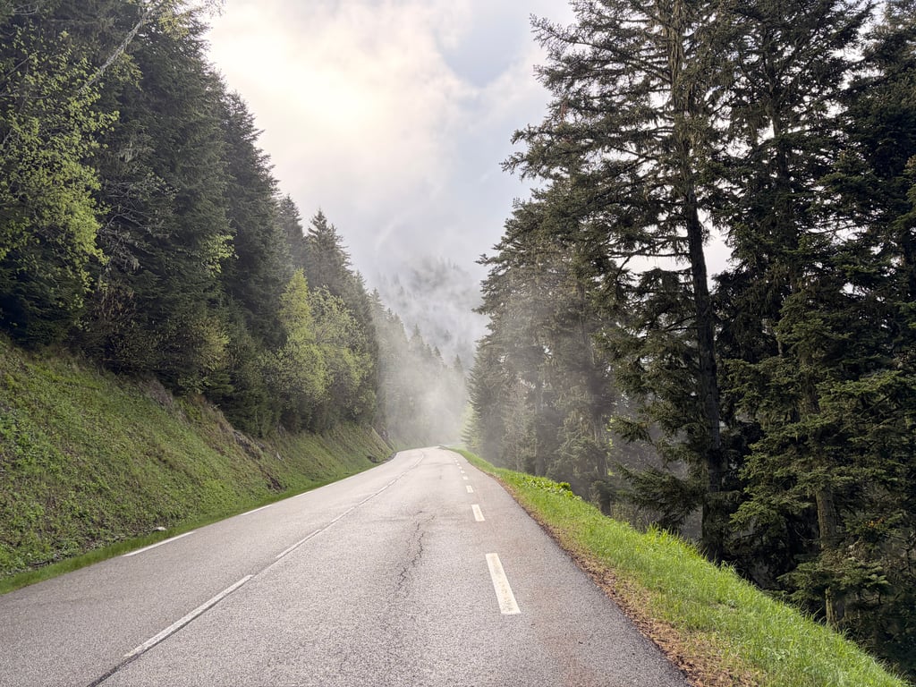
| Beautiful scenery |
| 12 hairpin turns |
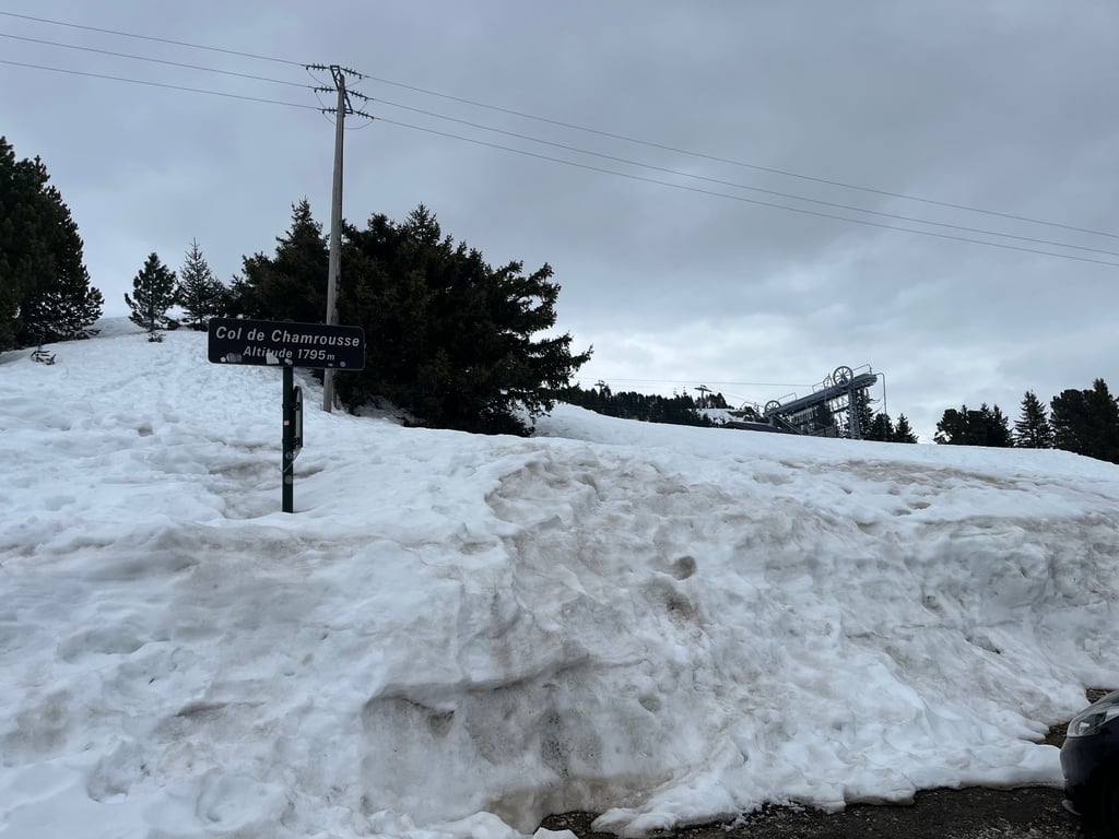
| #86 toughest climb of Auvergne-Rhône-Alpes |
| #63 most elevation gain of France |
| #60 longest climb of Auvergne-Rhône-Alpes |
Chamrousse from Uriage is a climb in the region Grenoble. It is 21.7 km long and bridges 1382 m of vertical ascent with an average gradient of 6.4%, resulting in a difficulty score of 962. The top of the ascent is located at 1793 m above sea level. Climbfinder users shared 5 reviews of this climb and uploaded 6 photos.
Road names: Route d'Uriage & D111
2.0 by eulmattThis is an automatic translation, the original language is: French.A route with a profile similar to the Belmont climb, though the first half is more challenging up to Les Seiglières. It takes a little while to leave the built-up area behind. The final section is more rugged, mainly through pine woodland, with reasonable gradients. However, it can seem endless, especially if you haven’t paced yourself properly.... read more
Welcome! Please activate your account if you would like to share something. Look for the verification email in your inbox.
If you want to upload your photos, you need to create an account. It only takes 1 minute and it's completely free.
A route with a profile similar to the Belmont climb, though the first half is more challenging up to Les Seiglières. It takes a little while to leave the built-up area behind. The final section is more rugged, mainly through pine woodland, with reasonable gradients. However, it can seem endless, especially if you haven’t paced yourself properly.
Variante au profil relativement similaire à la montée par Belmont, avec une première moitié plus difficile jusqu'aux Seiglières. Il faut un peu de temps pour sortir de la zone urbanisée. La fin est plus sauvage, essentiellement dans les sapins, avec des pourcentages raisonnables. Cependant, elle peut sembler interminable, surtout si on n'a pas géré son effort.
I really enjoyed this climb. The start is more difficult up to the Auberge des Seiglières (which is still 7/8 km). There's quite a lot of traffic up to Saint Martin, but it's much quieter after that. The climb is long and you have to manage your effort well, but that didn't stop me from being right.
J’ai bien aimé cette montée. Le début est donc plus difficile jusqu’à l’auberge des Seiglières (c’est-à-dire quand même 7/8 km). De la circulation assez dense jusqu’à Saint Martin, mais ensuite c’est nettement plus calme. La montée est longue et il faut bien gérer son effort, ce qui ne m’a pas empêché d’être juste.
Although marginally easier than the more popular side, this makes up for it with better scenery. The top few kilometres are on a balcony road with views over the city and the mountains. The first part of this ascent, up to the village of Saint-Martin are quite busy, but from there it gets a lot quieter. Other reviews suggest this route is busier, but after the village, both seem similarly light (during a normal Monday).
The easier side, although a little longer, still has some more complicated passages that break the legs.
Versant plus facile bien qu'un peu plus long, on a tout de même certains passages plus compliqués qui cassent les pattes.
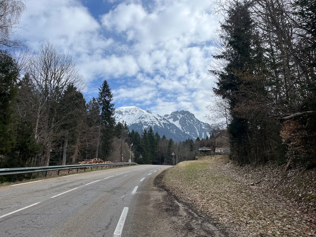
Of the two accesses to Chamrousse from Uriage, this is the longest and unfortunately also the most frequented by motorists. The beginning is relatively difficult, and from the place called Les Seiglières, it becomes easy or very easy. The road is as wide as a boulevard and very exposed to the sun, especially at the beginning, so it should be avoided in summer for those who fear the heat. Some interesting viewpoints along the way on the Grésivaudan valley.
Des deux accès à Chamrousse à partir d'Uriage, c'est le plus long et malheureusement aussi le plus fréquenté par les automobilistes. Le début est relativement difficile, et à partir du lieu-dit les Seiglières, cela devient facile voire très facile. La route est large comme un boulevard et très exposée au soleil, surtout au début donc à éviter en été pour ceux qui craignent la chaleur. Quelques points de vue intéressants en cours de route sur la vallée du Grésivaudan.
| 7 km/h | 03:06:05 |
| 11 km/h | 01:58:25 |
| 15 km/h | 01:26:50 |
| 19 km/h | 01:08:33 |
This page is better in the app