| 16 hairpin turns |
| #65 toughest climb of Auvergne-Rhône-Alpes |
| #18 most elevation gain of France |
| #44 longest climb of France |
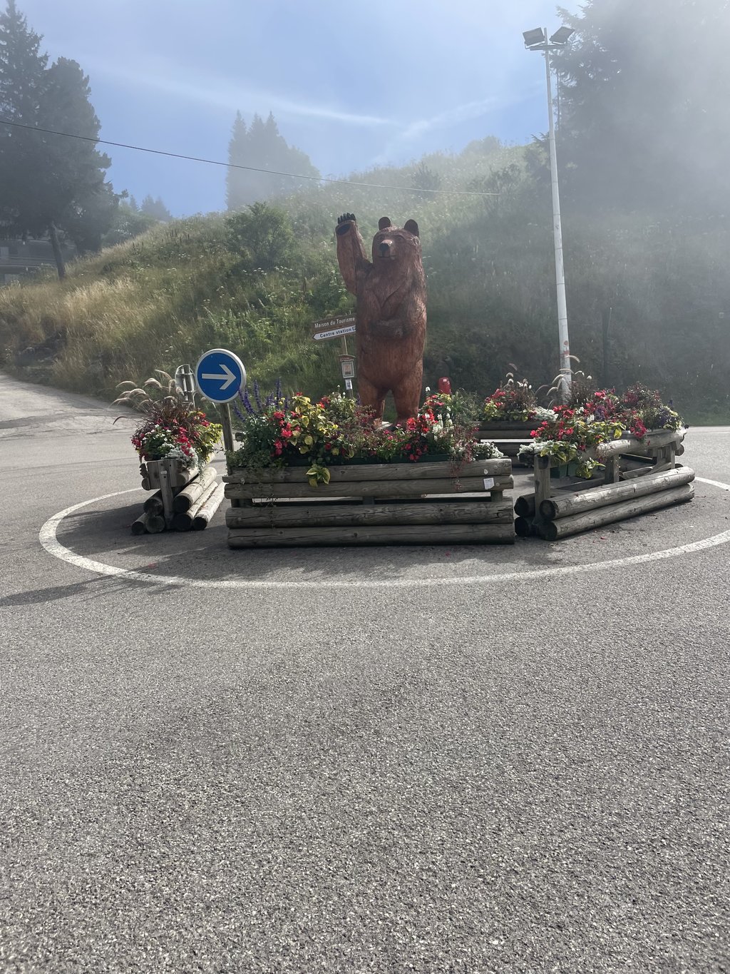
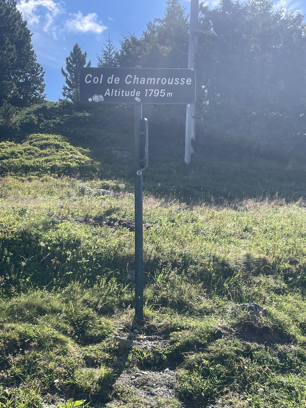
Chamrousse from Murianette is a climb in the region Grenoble. It is 28.8 km long and bridges 1569 m of vertical ascent with an average gradient of 5.5%, resulting in a difficulty score of 1018. The top of the ascent is located at 1786 m above sea level. Climbfinder users shared 3 reviews of this climb and uploaded 8 photos.
Road names: D 291, Route de la Pérérée, Route Forestière de Montrond & Route de Chamrousse
4.0 by SimNonoThis is an automatic translation, the original language is: French.Nice variant, without any big gradients. The section between Pinet and Seglières is really pleasant despite a gravel section of around 800m. It's better to go uphill and come down the other side as it's quite gravelly in places.... read more

Welcome! Please activate your account if you would like to share something. Look for the verification email in your inbox.
If you want to upload your photos, you need to create an account. It only takes 1 minute and it's completely free.
The road is in good condition except for the 500m in the middle of the forest where it's better to be on gravel. Otherwise the route is very long but pleasant and without any major surprises. I recommend doing the Pinet cross just beforehand so that it stings the thighs properly at the end.
Route en bonne etat sauf les 500m en plein dans la forêt où il est préférable d'être en gravel. Sinon la route est très longue mais agréable et sans grande surprise. Je conseille de faire le croix du Pinet juste avant pour que ça pique bien au cuisse comme il faut à la fin
Climb from La Pérerée and then the false flat to Corps d'Uriage to start with (very beautiful scenery at the beginning), then from Corps to Le Faux, then from Le Faux to Le Pinet, then from Le Pinet to Les Seiglières, and finally from Les Seiglières to Chamrousse... The least we can say is that this combination of itineraries (some of them very beautiful, that's not the point) is not self-evident. There are far more natural and direct ways up to Chamrousse.
It's the first time I've done it this way, today. Up until now, I've sometimes done it downhill, even if it meant walking at a walking pace on the short, poor section between Les Seiglières and Le Pinet, to take full advantage of the beautiful scenery and views.
Montées de la Pérerée puis faux-plat vers Corps d'Uriage pour commencer (très beaux paysages au début), puis de Corps vers le Faux, puis du Faux vers le Pinet, puis du Pinet vers les Seiglières, et enfin des Seiglières vers Chamrousse… Le moins que l'on puisse dire, c'est que cette combinaison d'itinéraires (certains très beaux, ce n'est pas la question) ne va pas de soi. Il y a beaucoup plus « naturel » et direct pour monter à Chamrousse.
C'est d'ailleurs la première fois que je l'ai faite, aujourd'hui, dans ce sens. Jusqu'à présent, il m'arrivait de l'effectuer en descente, quitte à rouler au pas sur la courte portion en mauvais état entre les Seiglières et le Pinet, pour bien profiter en toute détente des très beaux décors et points de vue.
Nice variant, without any big gradients. The section between Pinet and Seglières is really pleasant despite a gravel section of around 800m. It's better to go uphill and come down the other side as it's quite gravelly in places.
Variante sympa, sans gros pourcentages. La partie entre pinet et seglières est vraiment agréable malgré un passage "gravel" d'environ 800m. Mieux vaut faire en montée et descendre par l'autre côté car c'est bien gravillonné par endroits
| 7 km/h | 04:06:32 |
| 11 km/h | 02:36:53 |
| 15 km/h | 01:55:03 |
| 19 km/h | 01:30:49 |
This page is better in the app