Vijverberg via De Stichtse Rand is a climb in the region Utrecht Hill Ridge. It is 0.3 mi long and bridges 59 ft of vertical ascent with an average gradient of 4%, resulting in a difficulty score of 9. The top of the ascent is located at 138 ft above sea level. Climbfinder users shared 1 review/story of this climb and uploaded 5 photos.
Road names: Donderberg, De Stichtse Rand, Galgenberg & Vijverberg
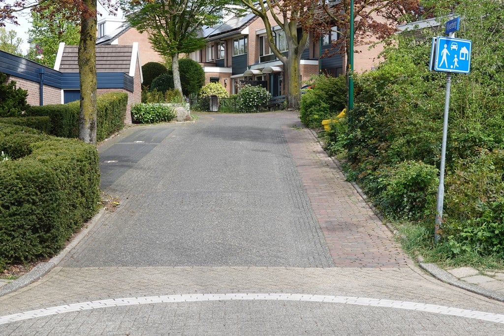
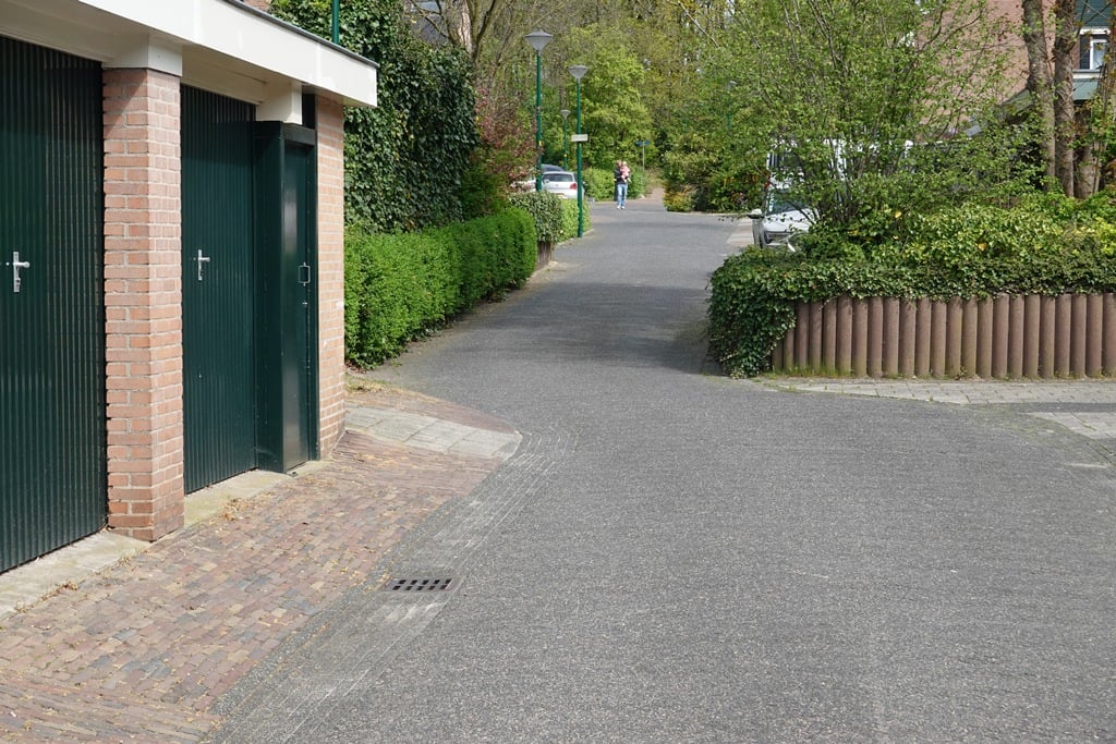
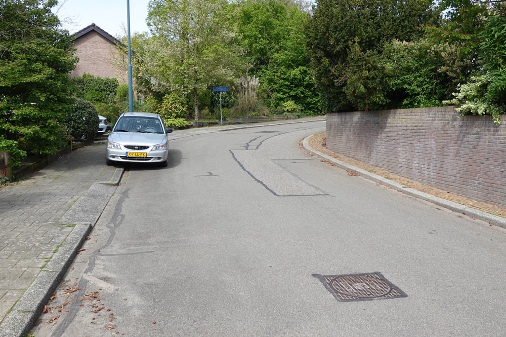
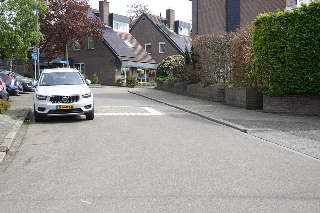
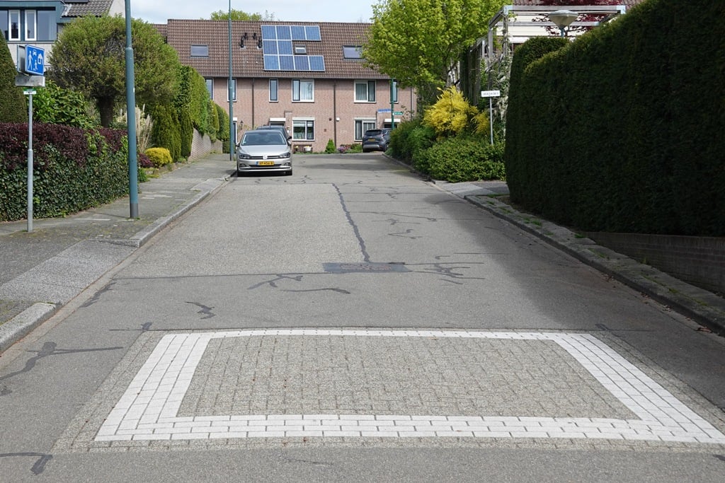
2.0 by FedorThis is an automatic translation, the original language is: Dutch.Meandering up through a residential area. The end is dead but via a cobblestone path you can enter the forest and continue uphill on the right. You can possibly approach via a slightly ascending bicycle path (gates at the beginning) from the traffic circle.... read more
Welcome! Please activate your account if you would like to share something. Look for the verification email in your inbox.
If you want to upload your photos, you need to create an account. It only takes 1 minute and it's completely free.
Meandering up through a residential area. The end is dead but via a cobblestone path you can enter the forest and continue uphill on the right. You can possibly approach via a slightly ascending bicycle path (gates at the beginning) from the traffic circle.
Slingerend door een woonwijk naar boven. Het einde loopt dood maar via een klinkerpaadje kan je het bos in en rechtsaf verder omhoog gaan. Aanrijden kan evt. via een licht stijgend fietspad (hekjes in het begin) vanaf de rotonde.
| 5 mph | 00:03:22 |
| 7 mph | 00:02:23 |
| 9 mph | 00:01:51 |
| 12 mph | 00:01:23 |
This page is better in the app