Koerheuvelweg via Donderberg is a climb in the region Utrecht Hill Ridge. It is 0.4 mi long and bridges 92 ft of vertical ascent with an average gradient of 4.3%, resulting in a difficulty score of 13. The top of the ascent is located at 171 ft above sea level. Climbfinder users shared 1 review/story of this climb and uploaded 8 photos.
Road names: Donderberg, Galgenberg & Van Bentheimhof & De Watertoren
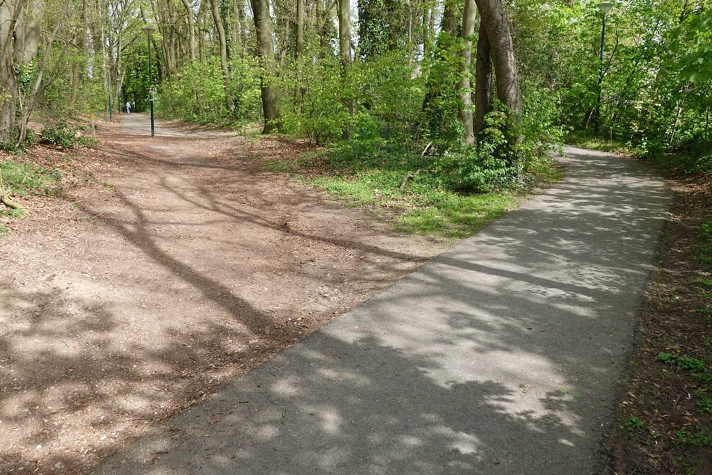
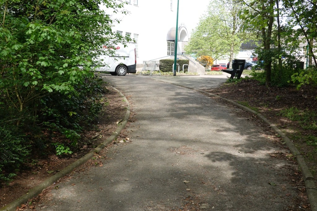
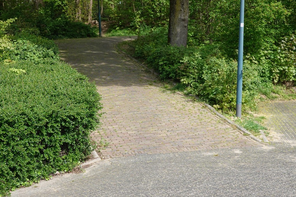
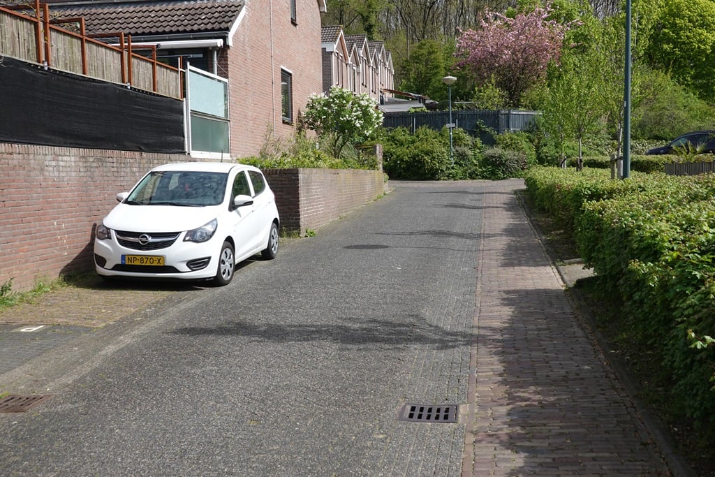
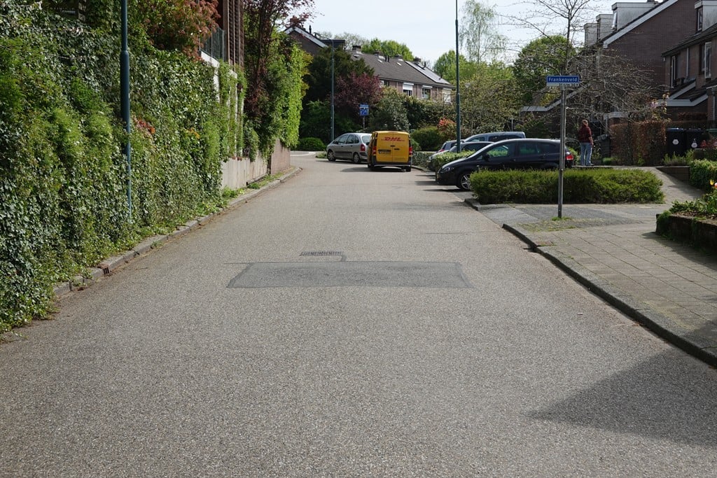
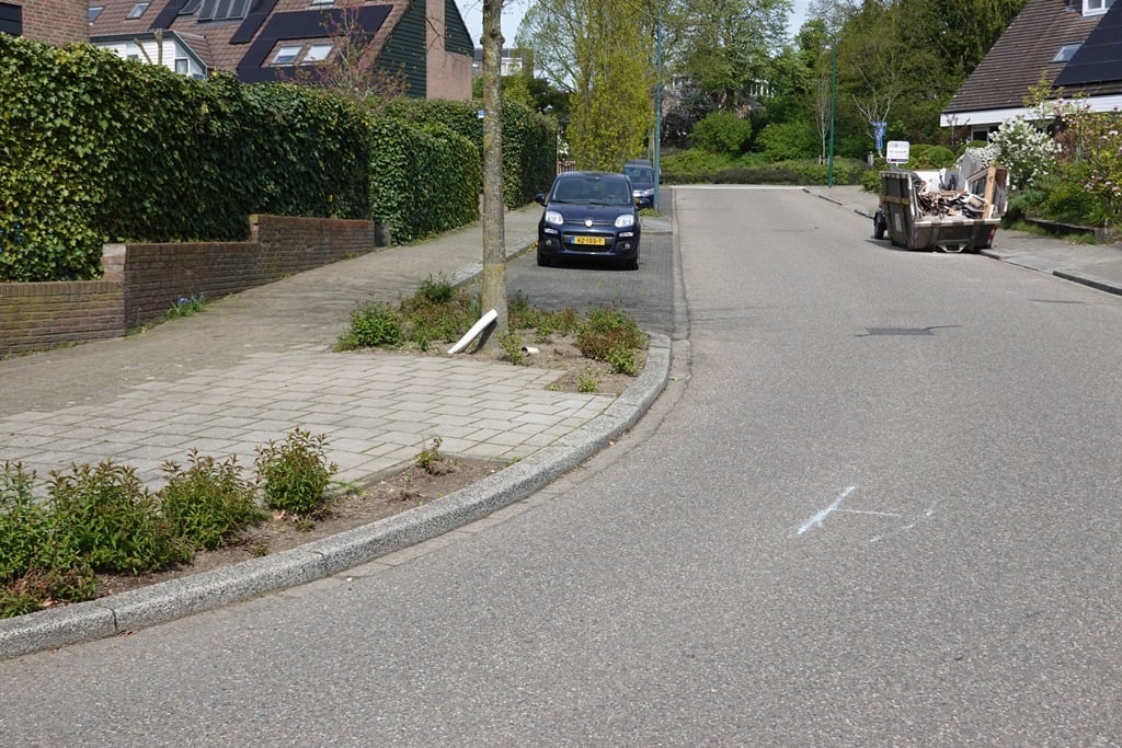
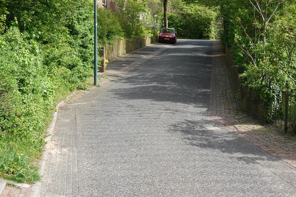
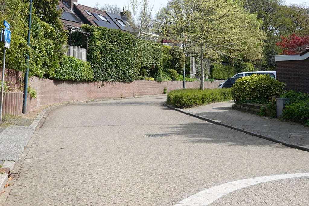
2.0 by FedorThis is an automatic translation, the original language is: Dutch.The first part is a bit of searching through a residential area (first part asphalt, second part cobblestones) after which you emerge steeply via a cobblestone path onto an asphalt path in the forest, which climbs steadily up to the tower.... read more

Welcome! Please activate your account if you would like to share something. Look for the verification email in your inbox.
If you want to upload your photos, you need to create an account. It only takes 1 minute and it's completely free.
The first part is a bit of searching through a residential area (first part asphalt, second part cobblestones) after which you emerge steeply via a cobblestone path onto an asphalt path in the forest, which climbs steadily up to the tower.
Het eerste deel is wat zoeken door een woonwijk (eerste deel asfalt, tweede deel klinkers) waarna je even steil via een klinkerpaadje uitkomt op een asfaltpad in het bos, wat gestaag oploopt tot aan de toren.
| 5 mph | 00:04:53 |
| 7 mph | 00:03:27 |
| 9 mph | 00:02:41 |
| 12 mph | 00:02:01 |
This page is better in the app