Pré du Fourneau from Lancey is a climb in the region Grenoble. It is 6.2 mi long and bridges 2989 ft of vertical ascent with an average gradient of 9.2%, resulting in a difficulty score of 920. The top of the ascent is located at 3743 ft above sea level. Climbfinder users shared 4 reviews of this climb and uploaded 10 photos.
Road names: D 165, Route de la Chapelle, Route du Boussant & Route du Pré du Fourneau
4.0 by sergenavetatThis is an automatic translation, the original language is: French.Taken on the morning of 27 July 2023, The Massif de Beldonne is particularly shady in the morning and until early afternoon, after which it heats up, so be careful when the heat is on. The climb is on a very nice, steep road with alternating smooth and sometimes gravelly tarmac, but overall it's fine. Unlike Frank Pastor, I found that there were a few respites that allowed me to take a breather. I found the uphill traffic fairly heavy and concentrated until the first junction on the lef... read more

Welcome! Please activate your account if you would like to share something. Look for the verification email in your inbox.
If you want to upload your photos, you need to create an account. It only takes 1 minute and it's completely free.
First 7 km on road in good condition and a little busy, then 3 km on small road also in good condition
The penultimate kilometre is a real wall'you have to save your energy to get through it
Worth doing!
7 premiers km sur route en bon état et un peu fréquentée puis 3 km sur petite route en bon état aussi
L'avant dernier kilomètre est un vrai mur il faut en garder pour le passer
À faire !
A really nice climb, quite demanding especially at the end, but the road is fine and there's very little traffic.
Montés vraiment sympa, assez exigeante surtout sur la fin, la route est nickel et il y a peu de circulation.
Taken on the morning of 27 July 2023,
The Massif de Beldonne is particularly shady in the morning and until early afternoon, after which it heats up, so be careful when the heat is on.
The climb is on a very nice, steep road with alternating smooth and sometimes gravelly tarmac, but overall it's fine.
Unlike Frank Pastor, I found that there were a few respites that allowed me to take a breather.
I found the uphill traffic fairly heavy and concentrated until the first junction on the left, about 2-3 km, but on the whole it was calm.
There's a gentle resting place at Mas Julien before the long final straight begins on a narrow road in very good condition, with gradients measured between 13 and 16.5 % max, so there's no unplugging for 2.5 to 3 kilometres.
A brutal finish, in front of a very stony road, landscape-wise, nothing too crazy on the climb except at the start, and then on the descent it's better.
Faite le 27 juillet 2023 , le matin,
Le Massif de Beldonne est particulièrement à l’ombre le matin et jusqu’en début d’après midi, après ça chauffe, donc attention lors des fortes chaleurs.
La montée s’effectue sur une très belle route à fortes pentes avec alternance de bitume lisse et parfois granuleux, mais dans l’ensemble c’est nickel.
Contrairement à Frank Pastor, je trouve qu’il y a quelques répits qui permettent de souffler un peu.
J’ai trouvé une circulation montante assez dense est concentrée jusqu’au premier croisement sur la gauche, environ 2-3 km, mais dans l’ensemble c’est calme.
Un léger replat bienfaiteur au Mas Julien avant l’entame de la longue ligne droite finale sur une route étroite mais en très bon état, avec des pourcentages mesurés entre 13 et 16,5 % maxi, ça ne débranche pas pendant 2,5 à 3 bornes.
Final brutal, devant un chemin très caillouteux, niveau paysage, rien de bien folichon lors de la montée sauf au départ, et ensuite lors de la descente c’est mieux.
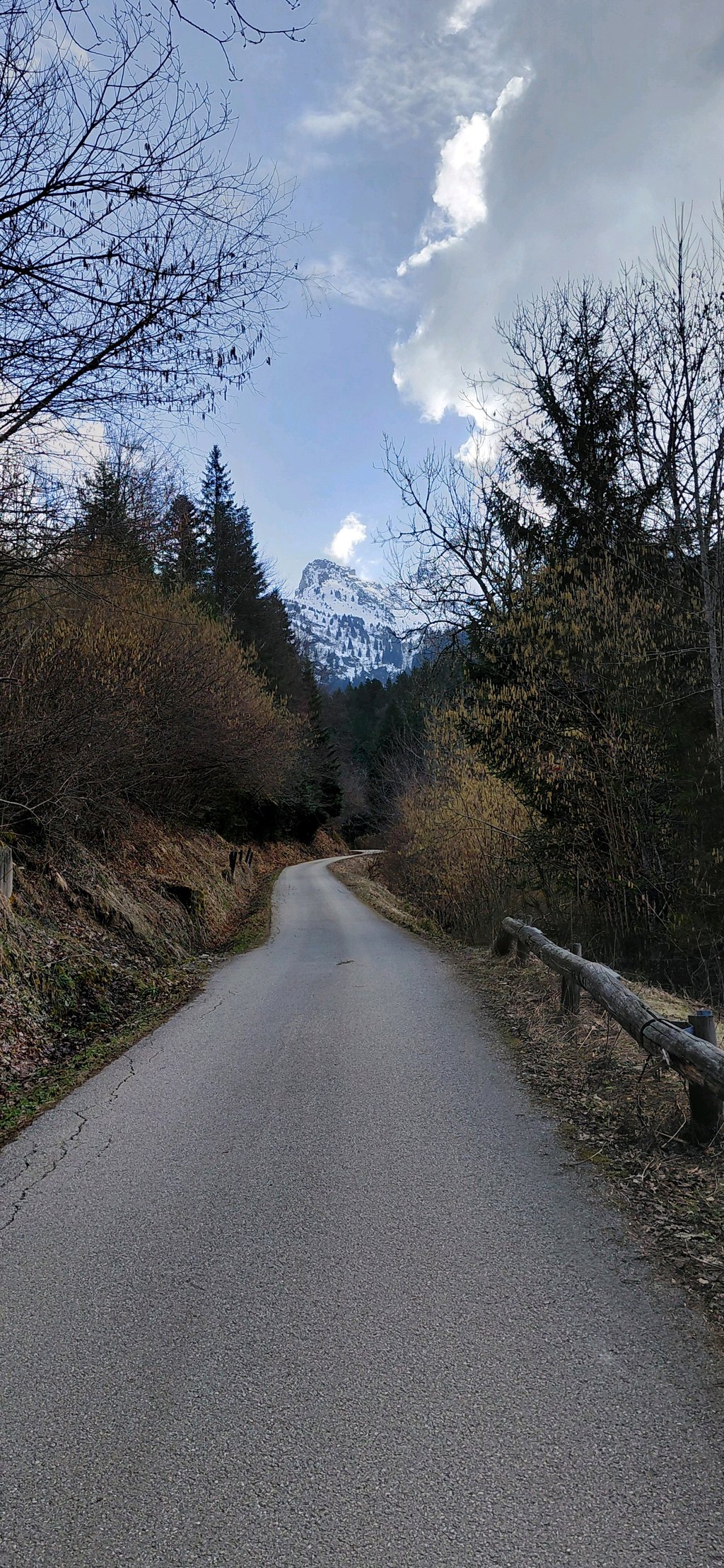
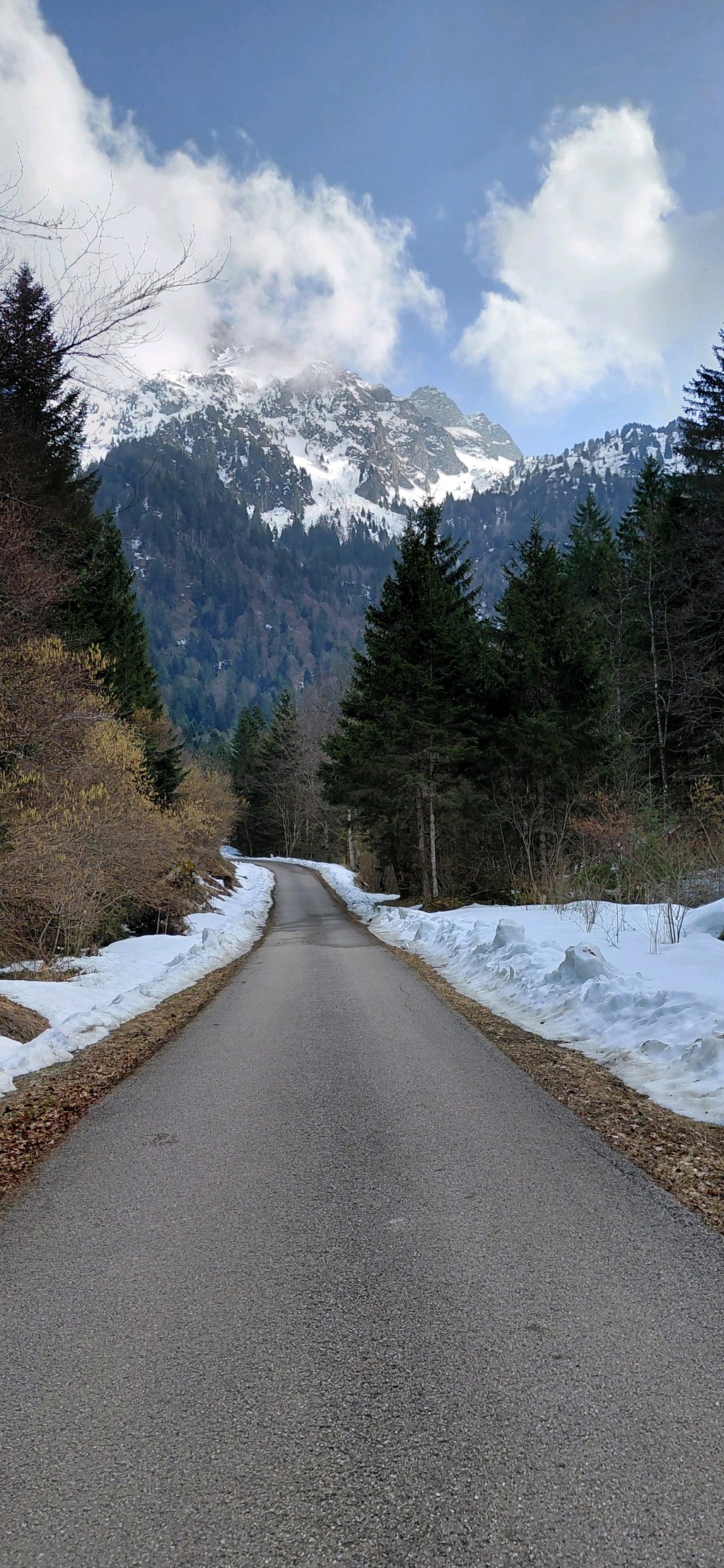
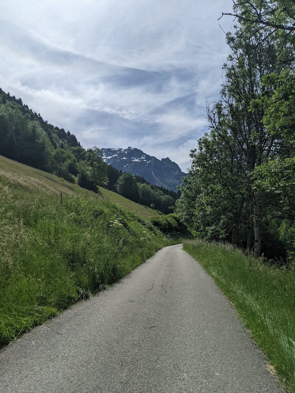
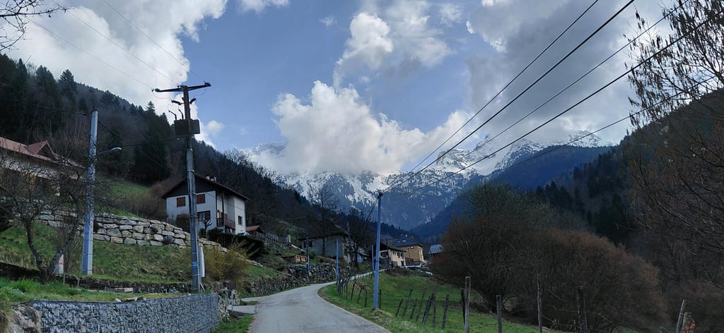
This is the shortest, and therefore most arduous, way up to the Pré du Fourneau. The road is steep from the start and allows no real respite, but the most difficult part remains the long final straight, with percentages that can approach 20 % in places.
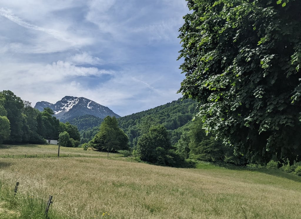
After the intersection with the Belledonne balcony road and the passage of the hamlet of Mas Julien, the atmosphere becomes clearly mountainous, with the high peaks of the Belledonne massif just ahead. The traffic being most of the time very reduced, one can easily believe to be alone in the world.
At the top, you have the possibility to reach the Pré Long pass, about two kilometers away, via a stony track that requires solid tires (mountain bike or gravel recommended).
C'est la façon la plus courte, et donc la plus ardue, de monter au Pré du Fourneau. La route est pentue depuis le départ et ne permet aucun véritable répit, mais la partie la plus difficile reste la longue ligne droite finale, avec des pourcentages pouvant approcher les 20 % par endroits.
Après la croisement avec la route du balcon de Belledonne et le passage du hameau du Mas Julien, l'ambiance devient clairement montagnarde, avec les hauts sommets du massif de Belledonne juste devant soi. Le trafic étant la plupart du temps très réduit, on peut aisément s'y croire seul au monde.
Au sommet, on a la possibilité de rejoindre le col de Pré Long, distant de deux kilomètres environ, via une piste caillouteuse qui requiert des pneus solides (VTT ou gravel recommandé).
| 5 mph | 01:14:22 |
| 7 mph | 00:52:39 |
| 9 mph | 00:41:01 |
| 12 mph | 00:30:49 |
This page is better in the app