View on map
© MapLibre | OpenStreetMap contributors
1%
2%
4%
6%
8%
10%
12%
15%
20%

Pont du Trou Hennet from Ruy

3.0
2 reviews | Elevation profile | 4 photos
Tips nearby
Pont du Trou Hennet from Ruy
transparant thumb
transparant thumb
transparant thumb
transparant thumb
Your achievable time
Calculating based on your best performances...
Relaxed
Maximum
W/kg
W/kg
W/kg
Analyze your climbing performance
Detailed insight into your climbing performance & automatically check off climbs
Based on your best performances.
Your best attempt:
Number of attempts:
Elevation profile Pont du Trou Hennet from Ruy

Statistics

Difficulty points 138
Length 4.7 mi
Average gradient 3.5%
Steepest segment 8.8%
Total ascent 883 ft
Feedback about this climb?
Show climbs nearby Export to GPS device

Pont du Trou Hennet from Ruy is a climb in the region Valleys of the Vesdre, de l'Amblève et de l'Ourthe. It is 4.7 mi long and bridges 883 ft of vertical ascent with an average gradient of 3.5%, resulting in a difficulty score of 138. The top of the ascent is located at 1818 ft above sea level. Climbfinder users shared 2 reviews of this climb and uploaded 4 photos.

Road names: Hameau de Neuville, Rue de Spa (N62) & Rue de Sart
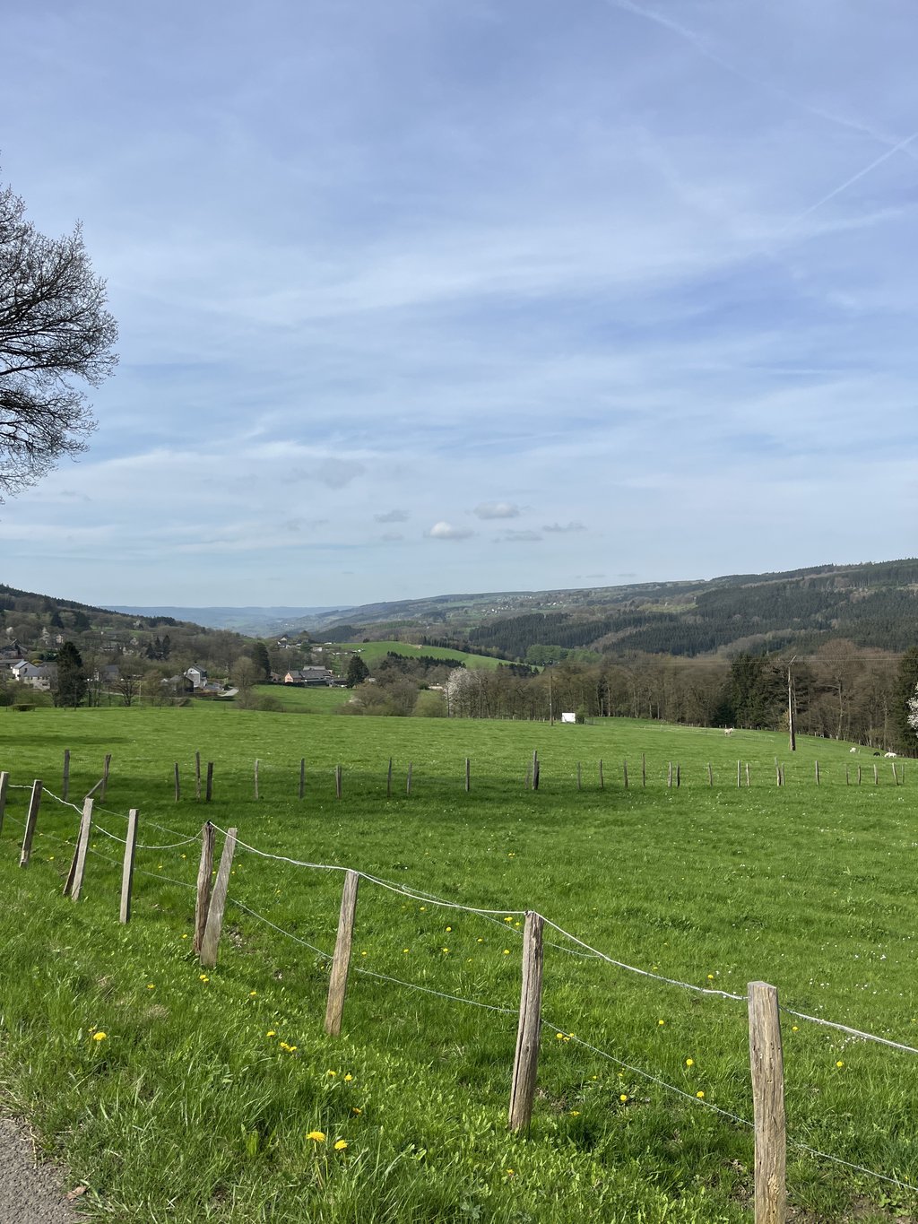
3.0 by WouterDK
This is an automatic translation, the original language is: Dutch.
This climb is very even along its entire length. Nothing to break down on. It is a very nice valley until you have to turn onto the main road I Francorchamps, this stretch I would advise against due to the heavy traffic. No bike path and not the prettiest scenery either.... read more

Photos (4)

Pont du Trou Hennet from Ruy
transparant thumb
transparant thumb

Your uploads (max 4)

Welcome! Please activate your account if you would like to share something. Look for the verification email in your inbox.

If you want to upload your photos, you need to create an account. It only takes 1 minute and it's completely free.

  • Receive free climbfinder goodies for your reviews & photos.
  • Create a bucket list and check off conquered climbs.
  • Add missing climbs.
Continue with GoogleContinue with Google Continue with FacebookContinue with Facebook Continue with AppleContinue with Apple Sign up with email
By signing up you agree to our terms of service and confirm that you have read our privacy & content policy.

Reviews (2)

5.0
4.0
3.0
2.0
1.0
WouterDK
3 y 3.0
This is an automatic translation, the original language is: Dutch. Show original

This climb is very even along its entire length. Nothing to break down on. It is a very nice valley until you have to turn onto the main road I Francorchamps, this stretch I would advise against due to the heavy traffic. No bike path and not the prettiest scenery either.

Deze klim is heel gelijkmatig over de gehele lengte. Niets om je op kapot te rijden. Het is een heel mooie vallei tot je de grote weg ik Francorchamps op moet draaien, dit stuk zou ik afraden door het vele verkeer. Geen fietspad en ook niet de mooiste omgeving.

Dashboard
Opdeberg
4 y 3.0
This is an automatic translation, the original language is: Dutch. Show original

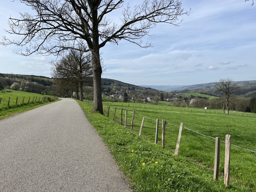
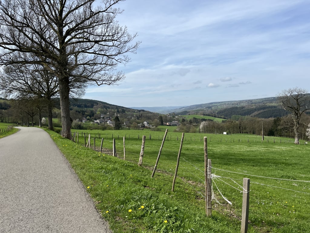
This is one of the climbs that everyone knows and has ridden....as a descent. In Liège - Bastogne - Liège, this is the descent after the Haute Levée and to the foot of the Rosier. The climb is long but nowhere very steep and goes almost straight up through the valley. Along the way, there are two double hairpin bends. After Franchorchamp, it is on major roads and false flat to the top.

Dit is een van de klimmen die iedereen kent en heeft gereden....als afdaling. In Luik - Bastnaken -Luik is dit de afdaling na de de Haute Levée en naar de voet van de Rosier. De klim is lang maar nergens heel erg steil en gaat vrijwel recht door het dal omhoog. Onderweg is er twee maal een dubbele haarspeldbocht. Na Franchorchamp is het op grote wegen en vals plat naar de top.

Dashboard

Climbing times

5 mph 00:56:54
7 mph 00:40:17
9 mph 00:31:23
12 mph 00:23:35

Road surface condition

0% 0% 100%
Based on 1 vote
Share your knowledge. What was the road condition during your ascent?

Traffic

0% 100% 0%
Based on 1 vote
Your experience counts. How much traffic did you encounter during the climb?

Frequently Asked Questions

Pont du Trou Hennet can be cycled from 3 sides. Pont du Trou Hennet from Ruy is the most popular side, but the summit can also be reached via Côte de Sart from Solwaster & Côte de Sart via Roquez & Avenue Joseph Jongen.

You don't need special gearing for Pont du Trou Hennet from Ruy. The slope isn't long or steep enough to require much shifting down. You can conquer this climb on power alone. However, a compact gearing system with a smallest front chainring of 34 and largest rear sprocket of 28 or 30 is always nice if you enjoy cycling uphill. This helps maintain a smooth cadence.

Pont du Trou Hennet from Ruy is a 4th-category climb. A sprint to the top is usually not an option, and untrained riders will definitely feel it in their legs. For trained cyclists, it is a great training climb.

Pont du Trou Hennet from Ruy is 4.7 mi long.

The average gradient of Pont du Trou Hennet from Ruy is 3.5%.

Pont du Trou Hennet from Ruy has a steepest segment with an average gradient of 8.8%.

The summit of Pont du Trou Hennet from Ruy is at 1818 ft.

At a slow pace of 5 mph, it takes about 00:56:54 to climb Pont du Trou Hennet from Ruy. At 7 mph the time is 00:40:17, and at 9 mph 00:31:23. For the fastest cyclists, 00:23:35 is an achievable time.

Pont du Trou Hennet from Ruy is located in the region Valleys of the Vesdre, de l'Amblève et de l'Ourthe in Belgium.

This page is better in the app

Climbfinder app
Climbfinder
(Free)
Open