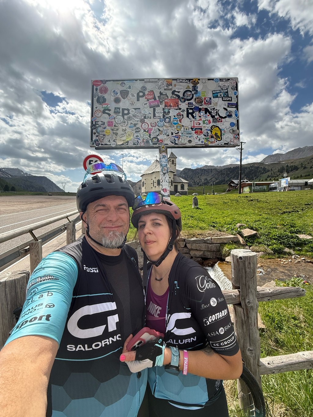
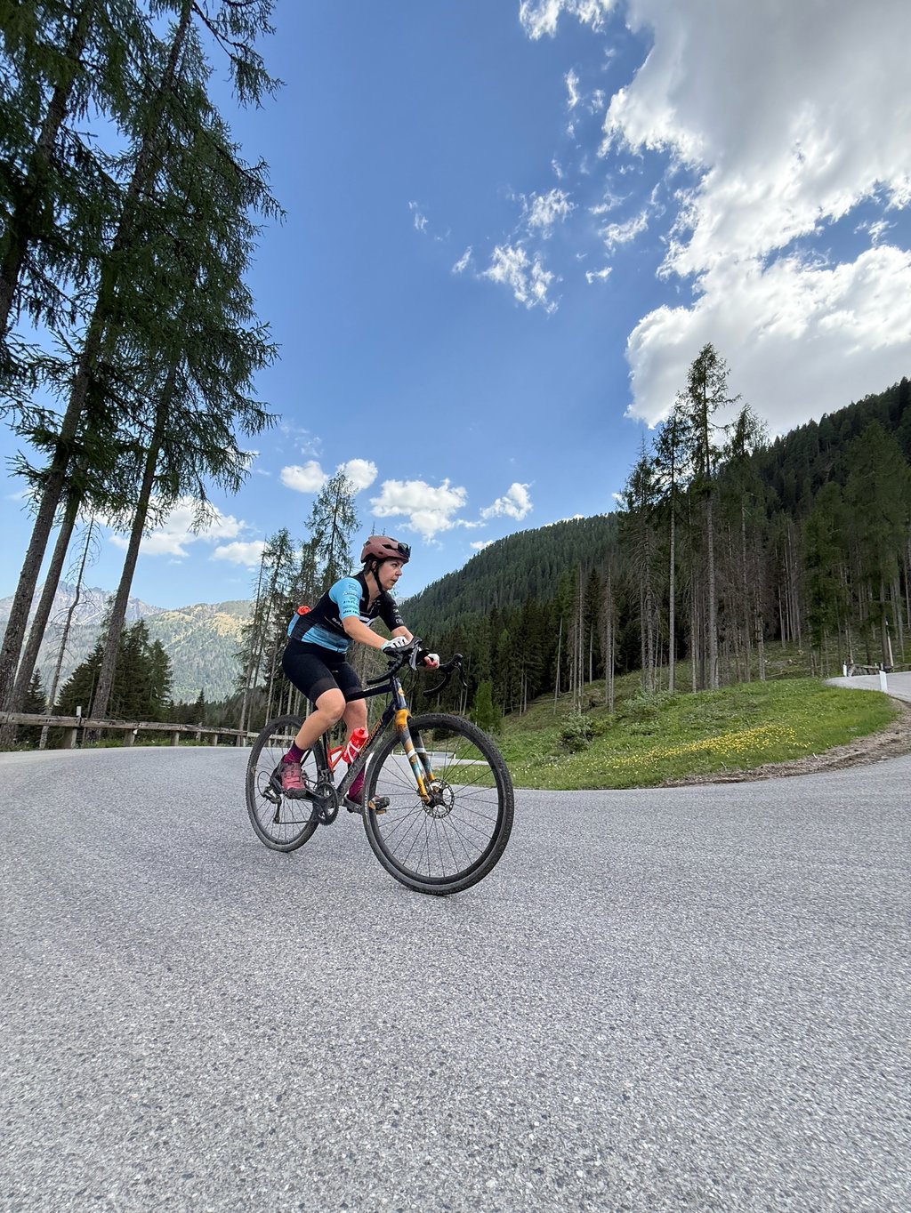
Passo San Pellegrino from Cencenighe is a climb in the region Belluno. It is 11.4 mi long and bridges 3789 ft of vertical ascent with an average gradient of 6.3%, resulting in a difficulty score of 975. The top of the ascent is located at 6293 ft above sea level. Climbfinder users shared 4 reviews of this climb and uploaded 11 photos.
Road name: SS346
Tunnels
Be careful! On this climb you will encounter dimly lit tunnels. Use your bike lights.
4.0 by XaviElSchwalboThis is an automatic translation, the original language is: German.I deliberately turned before the tunnel and therefore cannot include the tunnel in the rating. The first few kilometres are on a busy main road with easy gradients until you reach the village of Facile, where the road even descends. The traffic then decreases noticeably and after a few hairpins you reach a church with a water tap. The hardest part of the climb begins after the church at the latest, with many hairpin bends and a very steep ascent; I had the feeling that the average gradient was... read more

Welcome! Please activate your account if you would like to share something. Look for the verification email in your inbox.
If you want to upload your photos, you need to create an account. It only takes 1 minute and it's completely free.
Done after Valles from the harder slope beautiful but quite intense
Fatto dopo il Valles dal versante più duro bello ma abbastanza intenso
Started from Falcade for a loop with Rolle and Valles. Recommended!
I deliberately turned before the tunnel and therefore cannot include the tunnel in the rating.
The first few kilometres are on a busy main road with easy gradients until you reach the village of Facile, where the road even descends. The traffic then decreases noticeably and after a few hairpins you reach a church with a water tap.
The hardest part of the climb begins after the church at the latest, with many hairpin bends and a very steep ascent; I had the feeling that the average gradient was 14-15 per cent over 2 kilometres. Once you have left this part behind you, you ride slowly out of the forest and have to conquer the last 2-3 kilometres at around 9 per cent to the rather boring pass summit. The views are there, but not above average, whereas the climbing profile is very interesting.
Ich habe bewusst vor dem Tunnel gedreht und kann deswegen den Tunnel nicht in die Bewertung miteinfliesen lassen.
Die ersten Kilometer verlaufen auf einer belebten Hauptstraße bei einfachen Prozenten, bis man das Dorf Facile erreicht, wo es sogar absteigend ist. Anschließend nimmt der Verkehr spürbar ab und man erreicht über ein paar Haarnadeln eine Kirche an der es einen Wasserhahn gibt.
Spätestens nach der Kirche beginnt der härteste Teil des Anstiegs, über viele Kehren geht es sehr steil nach oben, ich hatte eher das Gefühl das es im Durchschnitt 14-15 Prozent auf 2 Kilometern sind. Wenn man diesen Teil hinter sich gelassen hat, fährt man langsam aus dem Wald heraus und muss die letzten 2-3 Kilometer bei ca. 9 Prozent ,auf die eher langweilige Passhöhe ,noch bezwingen. Die Aussichten sind zwar vorhanden, allerdings nicht überdurchschnittlich, das Kletterprofil hingegen ist sehr interessant.
Started in Falcade so cycled the last 11 km. of this firm Italian pass.
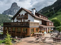
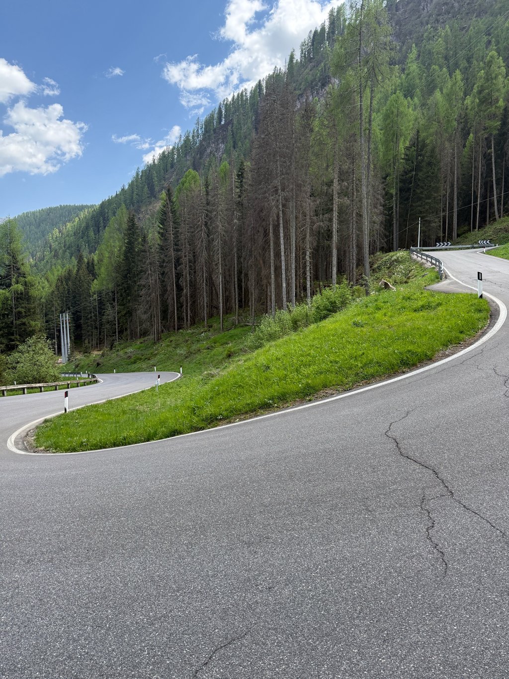
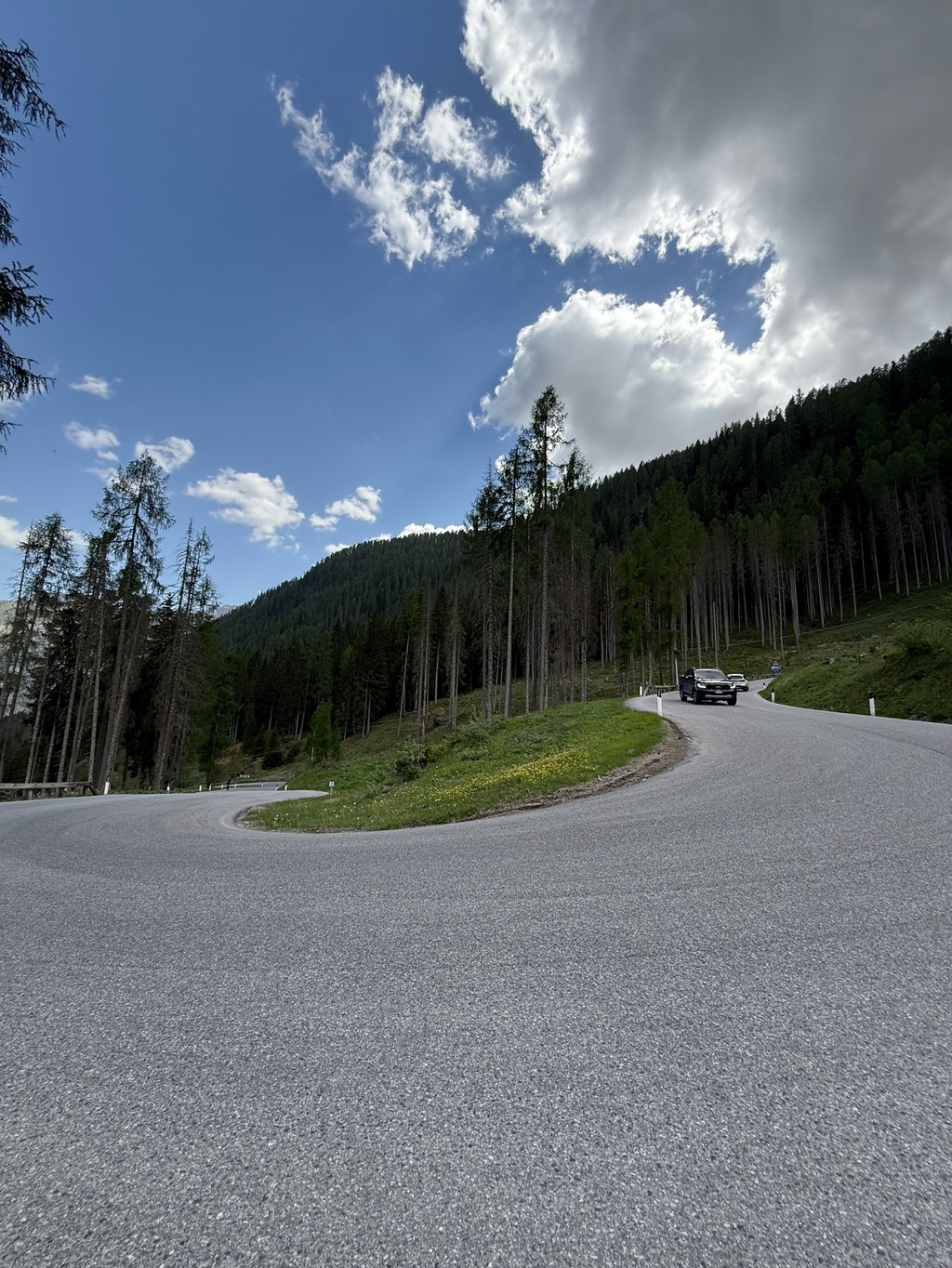
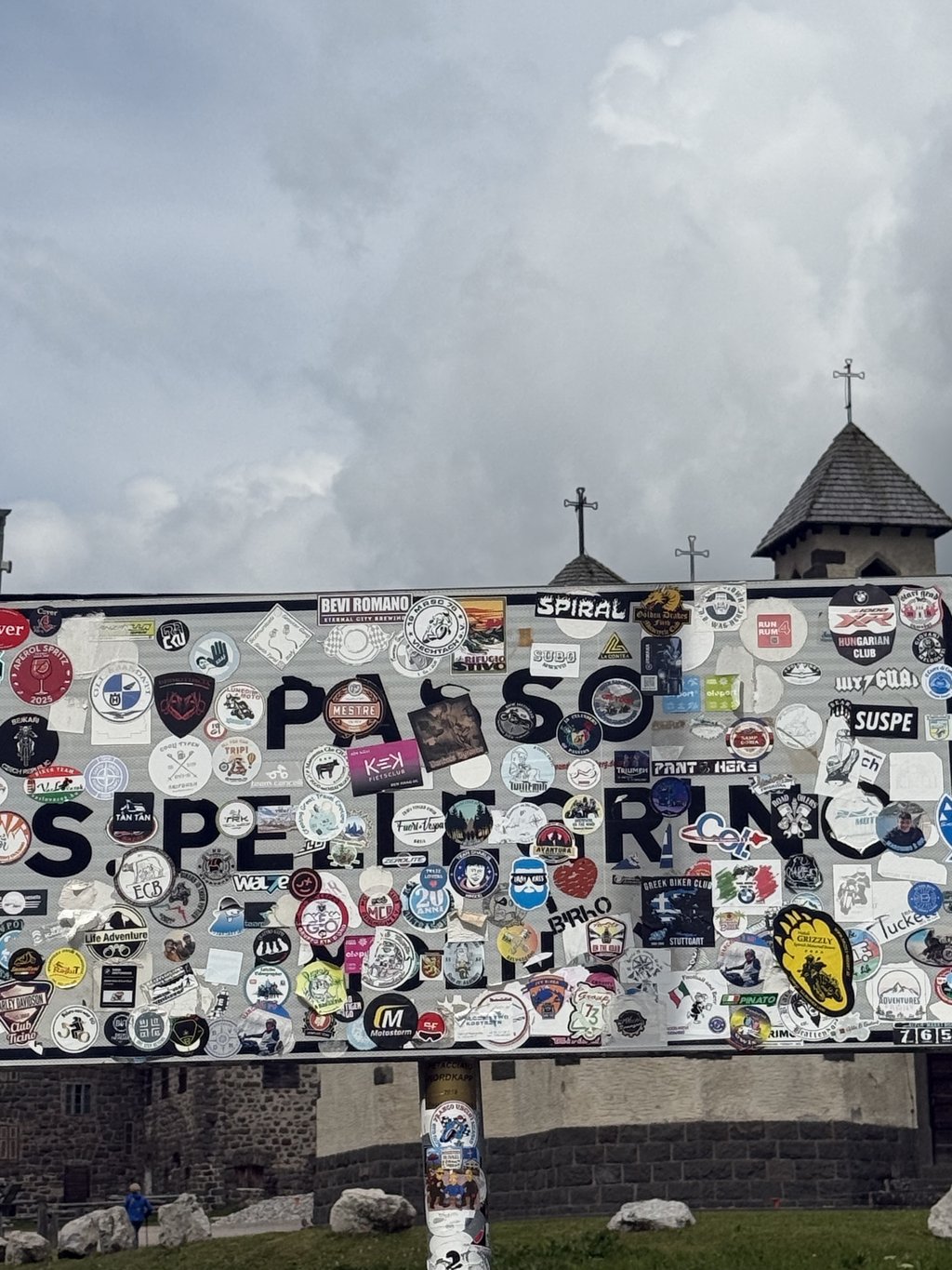
Through a few hairpin turns on rough tarmac you climb out of town to leave the inhabited world after a little more than a kilometer through the picturesque hamlet Falcade Alto. Some recovery time, but after crossing the mountain river, 4 kilometers of calvary follow through the coniferous forests of the San Pellegrino with about 14 hairpins connecting one tarmac wall to another. The CF graph with % per kilometer is a bit misleading because there are very steep stretches and a road sign draws your attention to 16%. I left the forest straight on my pedals to reach Rifugio Fior di Roccia (1760m) by a small lake. After all that lay behind my wheels, the last few kilometers of straight road with gentle curves to the summit seemed false flat. Pass height is open plateau with beautiful church and some hotels, ski infrastructure and parking.
Not to underestimate cycling challenge.
Vertrokken in Falcade dus fietste de laatste 11 km. van deze stevige Italiaanse pas.
Via enkele haarspeldbochten over ruw asfalt klim je het stadje uit om na iets meer dan een kilometer door het pittoreske gehucht Falcade Alto de bewoonde wereld te verlaten. Even recuperatietijd maar na het over fietsen van de bergrivier volgen 4 kilometer calvarietocht door de naaldbossen van de San Pellegrino met ongeveer 14 haarspeldbochten die de éne asfaltmuur met de andere verbinden. De CF grafiek met % per kilometer is wat misleidend want er zijn zeer steile stroken en een verkeersbord maakt je attent op 16%. Recht op de trappers fietste ik het bos uit om aan een klein meertje Rifugio Fior di Roccia (1760m) te bereiken. Na al wat al achter de wielen lag leken de laatste kilometers rechte weg met flauwe bochten tot de top "vals plat" . Pashoogte is open plateau met mooi kerkje en enkele hotels,ski infrastructuur en parkings
Niet te onderschatten fietsuitdaging.
| 5 mph | 02:17:06 |
| 7 mph | 01:37:04 |
| 9 mph | 01:15:38 |
| 12 mph | 00:56:50 |
This page is better in the app