Mont Theux is a climb in the region Valleys of the Vesdre, de l'Amblève et de l'Ourthe. It is 1.7 mi long and bridges 548 ft of vertical ascent with an average gradient of 6%, resulting in a difficulty score of 149. The top of the ascent is located at 1099 ft above sea level. Climbfinder users shared 6 reviews of this climb and uploaded 13 photos.
This is an automatic translation, the original language is: Dutch.
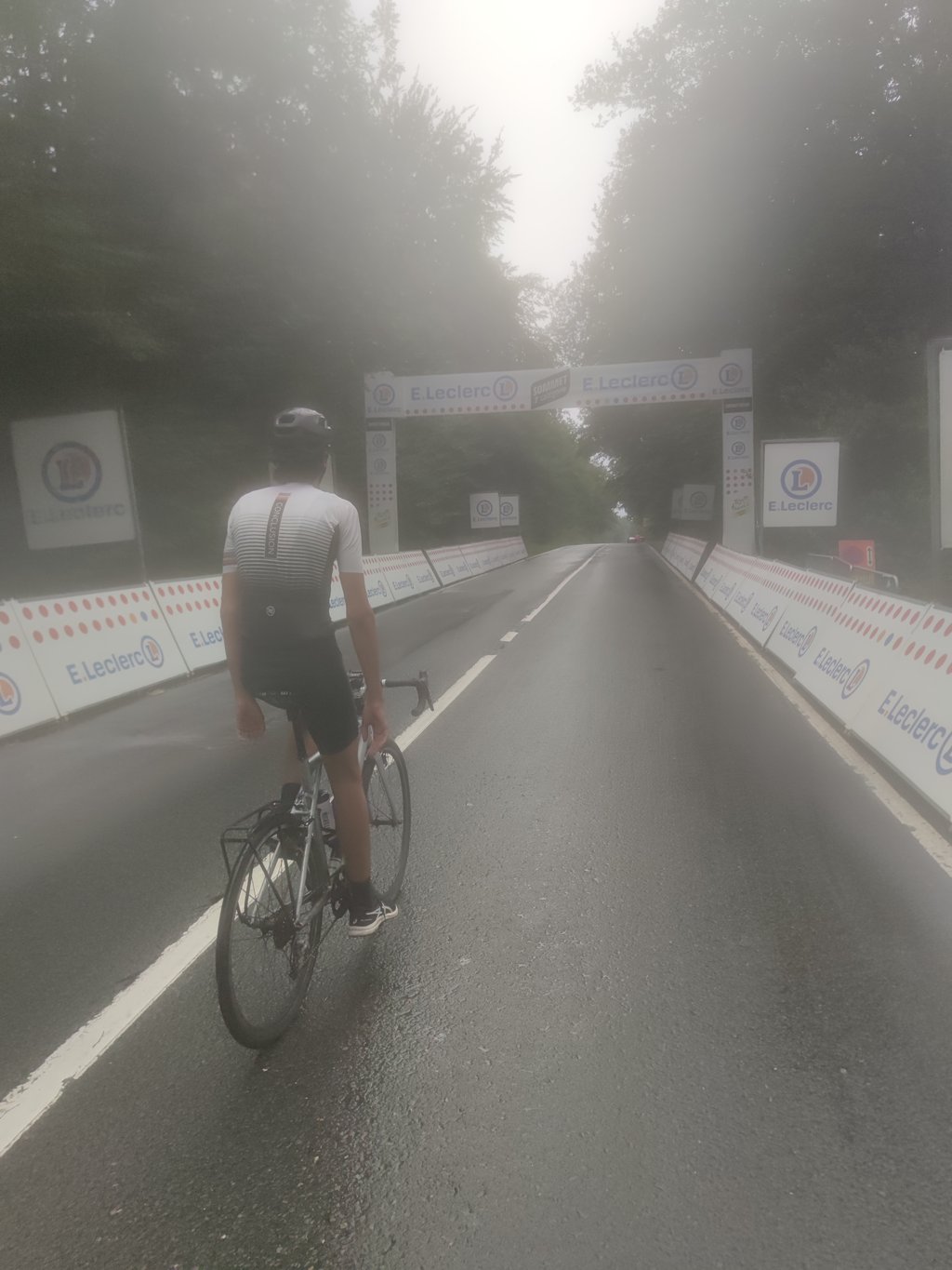
Big track with heavy traffic that is sure to bolt well in cycling races (such as the 2024 Tour de France Femmes), but as a cycling tourist is more likely to be avoided, especially as there are less crowded alternatives....read more
Photos (13)
Welcome! Please activate your account if you would like to share something. Look for the verification email in your inbox.
This is an automatic translation, the original language is: Dutch.
Show original
Big track with heavy traffic that is sure to bolt well in cycling races (such as the 2024 Tour de France Femmes), but as a cycling tourist is more likely to be avoided, especially as there are less crowded alternatives.
Grote baan met druk verkeer die zeker en vast goed bolt in wielerwedstrijden (zoals in 2024 de Tour de France Femmes), maar als wielertoerist toch eerder te vermijden is, te meer dat er minder drukke alternatieven zijn.
This is an automatic translation, the original language is: Dutch.
Show original
Unfortunately, when I think back to this climb, I think mostly of the fast passing car traffic. The steep part is tough, also because it is a wide road straight ahead and you have to focus on staying to the right of the road. So better choose a quieter road next time.
Als ik terugdenk aan deze klim, denk ik helaas vooral aan het snel voorbijrazende autoverkeer. Het steile deel is loeizwaar, ook al omdat het een brede weg rechtdoor is en je je moet focussen om rechts van de weg te blijven. Liever dus kiezen voor een rustiger weggetje de volgende keer.
This is an automatic translation, the original language is: Dutch.
Show original
Both physically and mentally a tough climb where that comes into its own best at the 600m averaging 11%, just after the village of Mont. You crawl up the slope while traffic races past you. Without the ubiquitous traffic it would be quite a fun challenge but now it's better to avoid it (but yes, it is a very handy ford). Fair to good tarmac though so you can cycle well along the edge.
Zowel fysiek als mentaal een zware klim waarbij dat het best tot zijn recht komt op de 600m met gemiddeld 11%, vlak na het dorpje Mont. Je kruipt tegen de helling op terwijl het verkeer langs je heen raast. Zonder het alom aanwezige verkeer zou het best een leuke uitdaging zijn maar nu kan je deze beter vermijden (maar ja, het is wel een heel handige doorsteker). Wel redelijk tot goed asfalt zodat je goed langs de rand kan fietsen.
This is an automatic translation, the original language is: Dutch.
Show original
The Mont Theux, where only Bruyneel could follow Indurain during a Tour stage in 1995 (if I'm correct). It's a tricky thing, but not to say that it makes you fall backwards. It is a big and busy road. First you have to go through a nasty curve with a crash barrier. After that there is a slightly less steep part. But after that 'easier'part through the fields, you end up between the trees. And there it gets steeper again. For me personally I find the car traffic here more annoying than the slope. A tip: take the calmer climb via Jevoumont that leads to the animal park. If you turn right there, you also reach the top of Mont Theux.
De Mont Theux, waar enkel Bruyneel Indurain kon volgen tijdens een Touretappe in 1995 (als ik het goed heb). Het is een lastig ding, maar niet om te zeggen dat je ervan achterover valt. Het is een grote en druk bereden weg. Eerst moet je door een vervelende bocht met vangrail. Nadien volgt er een iets minder steil stuk. Maar na dat 'gemakkelijkere' deel door de velden, kom je terecht tussen de bomen. En daar wordt het weer steiler. Voor mij persoonlijk vind ik het autoverkeer hier hinderlijker dan de hellingsgraad. Een tip: neem de rustiger klim via Jevoumont die uitkomt bij het dierenpark. Als je daar naar rechts draait kom je ook aan de top van de Mont Theux.
This is an automatic translation, the original language is: Dutch.
Show original
Today in the rain we drove down this slope. Indeed a very dangerous one. Partly due to the poor road surface. At one point I started riding in the middle of the road with my tail light flashing brightly. The car behind me gave me a safer feeling.
Vandaag in de regen deze helling afgereden. Inderdaad een heel gevaarlijke jongen. Mede door het matige wegdek. Ben op een gegeven moment maar midden op de weg gaan rijden met fel knipperend achterlicht. De auto die achter me bleef rijden gaf me een iets veiliger gevoel.
This is an automatic translation, the original language is: Dutch.
Show original
Gerbeen is right, that climb is life threatening for cyclists because of the way too much traffic. I did that climb a few weeks ago and the cars were going so fast and so close to me that I feared for my life. Along the steepest part of the climb is a gutter. It was full of rocks and leaves but I had to ride in this gutter to avoid being crushed....
Gerbeen heeft gelijk, die klim is levensgevaarlijk voor fietsers vanwege het veel te drukke verkeer. Ik deed die klim een paar weken geleden en de wagens reden zo snel en zo dicht bij mij dat ik voor mijn leven vreesde. Langs het steilste deel van de klim ligt een gootje. Het was vol stenen en bladderen maar ik moest in dit gootje rijden om niet verpletterd te worden…
You don't need special gearing for Mont Theux. The slope isn't long or steep enough to require much shifting down. You can conquer this climb on power alone. However, a compact gearing system with a smallest front chainring of 34 and largest rear sprocket of 28 or 30 is always nice if you enjoy cycling uphill. This helps maintain a smooth cadence.
Mont Theux is a 4th-category climb. A sprint to the top is usually not an option, and untrained riders will definitely feel it in their legs. For trained cyclists, it is a great training climb.
Mont Theux is 1.7 mi long.
The average gradient of Mont Theux is 6%.
Mont Theux has a steepest segment with an average gradient of 15%.
The summit of Mont Theux is at 1099 ft.
At a slow pace of 5 mph, it takes about 00:20:52 to climb Mont Theux. At 7 mph the time is 00:14:46, and at 9 mph 00:11:31. For the fastest cyclists, 00:08:39 is an achievable time.