| #7 toughest climb of Hainaut Province |
| #11 most elevation gain of Hainaut Province |
| #34 longest climb of Pays des Collines |
| #33 average steepest climb of Pays des Collines |
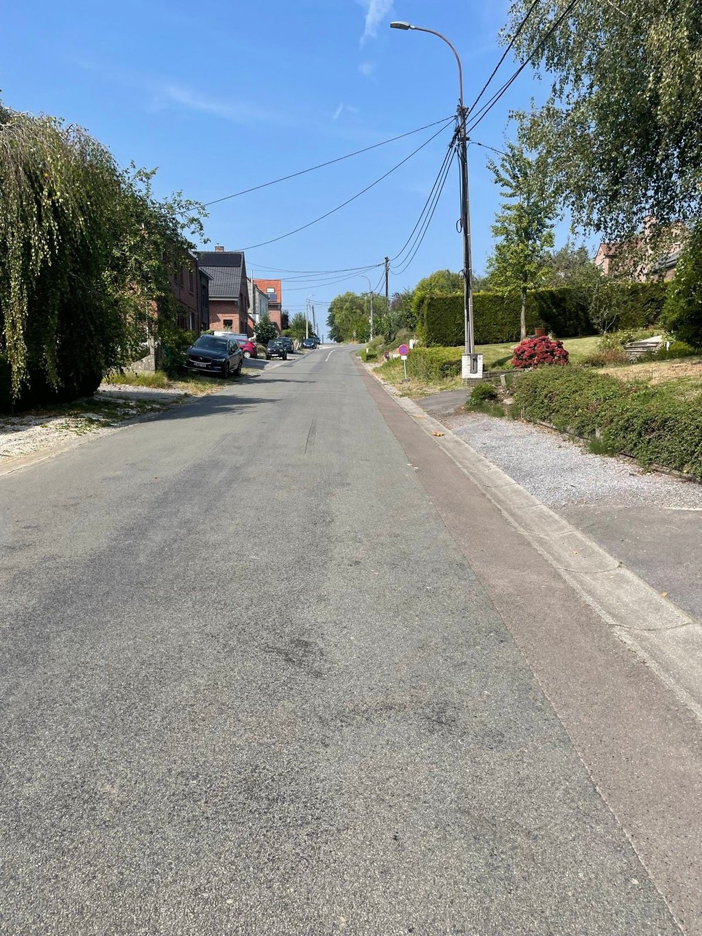
Mont de l'Enclus from Orroir is a climb in the region Pays des Collines. It is 1.3 mi long and bridges 394 ft of vertical ascent with an average gradient of 5.8%, resulting in a difficulty score of 92. The top of the ascent is located at 466 ft above sea level. Climbfinder users shared 10 reviews of this climb and uploaded 3 photos.
Road names: Rue des Résistants, Rue de la Montagne & Enclus du Haut
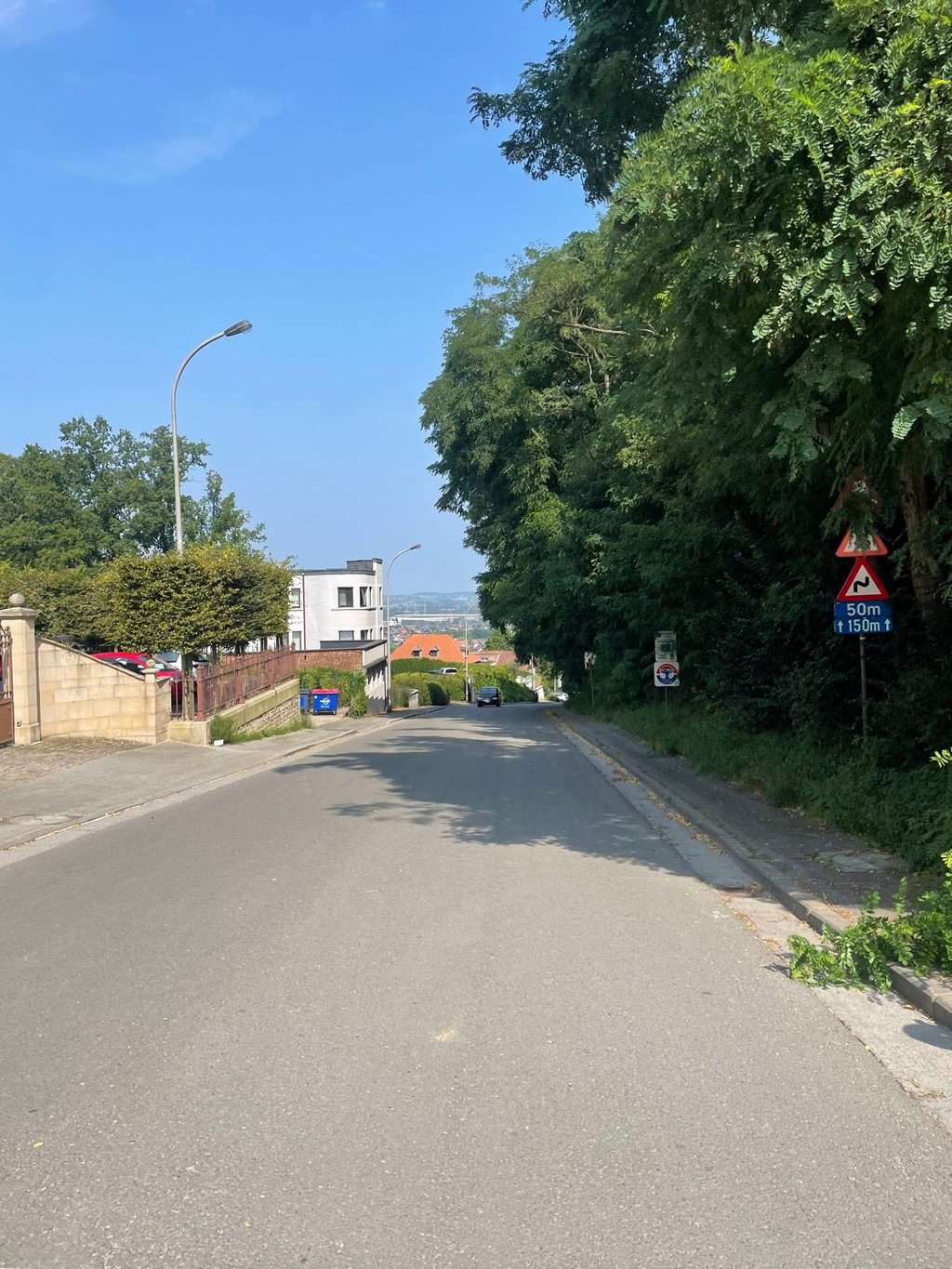
4.0 by WouterThis is an automatic translation, the original language is: Dutch.One of the many ways to cycle up Kluisberg and similar in difficulty to the other options. The road surface is not in the best of condition and you have to watch out for traffic in the bends. On weekends when the weather is good, it can be a bit crowded here. You finish right at the top in the forest where the last few metres can be very tough after the altitude metres you have already done.... read more
Welcome! Please activate your account if you would like to share something. Look for the verification email in your inbox.
If you want to upload your photos, you need to create an account. It only takes 1 minute and it's completely free.
This one only 68% up to the forest. Good asphalt and wide road. Some steep sections in between where you start to feel it. Nice descent.
Deze maar 68% tot aan het bos. Goede asfalt en brede weg. Zitten steile stukken tussen waar je het begint te voelen. Leuke afdaling.
Beautiful and quite complete side of the Kluisberg. Starts a bit more open and can be a bit crowded, but once you dive into the forest it gets quieter and more difficult. The percentages don't bite anywhere constant, but do pile up, especially towards the top. Typical Pays des Collines climb with some venom at the end.
Mooie en vrij complete kant van de Kluisberg. Start nog wat opener en kan wat drukker zijn, maar eens je het bos induikt wordt het rustiger én lastiger. De percentages bijten nergens constant, maar stapelen wel op, zeker richting de top. Typische Pays des Collines-klim met wat venijn op het einde.
Very fun climb, with various section of different inclines. Never too hard and never too easy. Perfect climb to train on for other mountain climbs.
I like the other side of the Kluisberg a little better, it is usually ridden as a downhill, but can certainly count to do it uphill.
Ik vind de andere kant van de Kluisberg iets fijner, deze is meestal als afdaling gereden, maar kan zeker tellen om hem bergop te doen.
Very nice climb: very nice road surface and quite difficult. The first part can be a bit crowded (but not too bad all in all), the second part through the trees is breathtakingly beautiful (and even trickier). In short, great climb!
Zeer leuke klim: zeer mooi wegdek en best wel lastig. Het eerste deel kan wel wat druk zijn (maar valt al bij al nog mee), het tweede gedeelte door de bomen is adembenemend mooi (en nog lastiger). Kortom, geweldige beklimming!
This is the variant included in the Dwars door Vlaanderen cyclo. In the cyclo, they don't ride up to the top of the forest, though. I think it is an added value to include the forest. This side is nicer to ride up than the side from Ruien given the view. Pay attention on the descent, though.
Dit is de variant die in de Dwars door Vlaanderen cyclo is opgenomen. Bij de cyclo rijden ze wel niet tot echt boven in het bos. Ik vind het wel een meerwaarde het bos nog mee te nemen. Deze kant is mooier om op te rijden dan de kant uit Ruien gezien het uitzicht. Wel opletten bij de afdaling.
I climbed it peacefully as a warm-up for the beginners' race in Orroir. The section on the main road climbs steeply, then when you reach a small village with lots of distracted passers-by you come to the wood and its last ramp.
Je l'ai montée tranquillou pépère en guise d'échauffement à la course débutants se déroulant à Orroir. La partie sur la grand route grimpe fort, puis arrivé dans un petit village avec beaucoup de passants distraits vous arrivez dans le bois et sur sa dernière rampe.
I did this one on the Dwars door Vlaanderen Cylo, nice climb with a few curves in it. Be careful on the descent to Ruien though, there's a dangerous bend in there.
Ik heb deze gedaan op de Dwars door Vlaanderen Cylo, toffe klim met een paar bochten in. Toch wel oppassen in de afdaling naar Ruien, daarin zit toch een gevaarlijke bocht.
One of the many ways to cycle up Kluisberg and similar in difficulty to the other options. The road surface is not in the best of condition and you have to watch out for traffic in the bends. On weekends when the weather is good, it can be a bit crowded here. You finish right at the top in the forest where the last few metres can be very tough after the altitude metres you have already done.
Één van de vele manieren om de Kluisberg op te fietsen en gelijkaardig op het vlak van moeilijkheidsgraad als de andere opties. Het wegdek is niet in al te beste staat en het is toch wel oppassen voor verkeer in het bochtenwerk. In weekends bij goed weer kan het hier wat druk zijn. Je eindigt helemaal boven in het bos waar de laatste meters nog heel zwaar kunnen vallen na de hoogtemeters die je al gedaan hebt.
| 5 mph | 00:15:35 |
| 7 mph | 00:11:02 |
| 9 mph | 00:08:35 |
| 12 mph | 00:06:27 |
This page is better in the app