| 4 hairpin turns |
| #20 toughest climb of Rhineland-Palatinate |
| #1 most elevation gain of Rhineland-Palatinate |
| #62 longest climb of Germany |
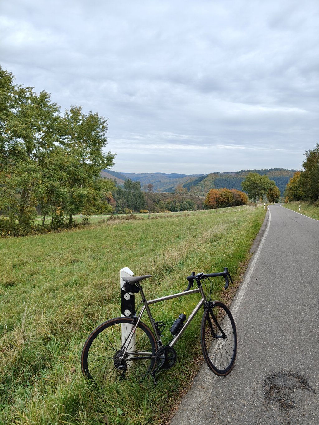
Hohe Acht from Kesseling is a climb in the region Eifel. It is 9.1 mi long and bridges 1732 ft of vertical ascent with an average gradient of 3.6%, resulting in a difficulty score of 300. The top of the ascent is located at 2425 ft above sea level. Climbfinder users shared 5 reviews of this climb and uploaded 8 photos.
Road names: Weidenbacher Strasse, L90 & L10
3.0 by Erik1This is an automatic translation, the original language is: Dutch.Busy and though good road. The last stretch is not worth it.... read more

Welcome! Please activate your account if you would like to share something. Look for the verification email in your inbox.
If you want to upload your photos, you need to create an account. It only takes 1 minute and it's completely free.
Busy and though good road. The last stretch is not worth it.
Drukke en wel goede weg. Het laatste stuk is niet de moeite waard.
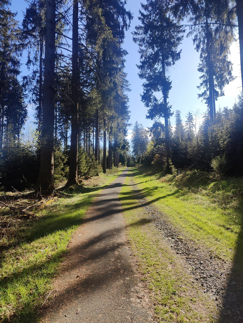
Pleasantly long climb. The longest in the area I think. The first 9 km are actually only slightly uphill. Sometimes you have a visual where it looks like it's flat or even descending, but it's actually ascending. Because the road runs in an ascending valley between the mountains, a strong wind can be your portion. I got that upwind today, which made 4% feel like 8%. The last 5km reach gradients around 7%, which feels like real climbing. However, the road surface is a patchwork. Potholes have been filled with new strips all over the route. When climbing, this does not bother, but the day before I did the descent and then your bike rattles non-stop.
Aangename lange klim. De langste in de buurt denk ik. De eerste 9 km gaan eigenlijk maar licht omhoog. Soms heb je een visueel beeld waarbij het lijkt of het vlak is of zelfs daalt, maar het stijgt wel degelijk. Omdat de weg in een oplopende vallei tussen de bergen loopt, kan er een stevige wind je deel zijn. Die kreeg ik vandaag op kop, waardoor 4% aanvoelde als 8%. De laatste 5 km halen stijgingspercentages rond de 7%, wat als echt klimmen aanvoelt. Het wegdek is echter wel een lappendeken. Over heel het traject zijn gaten opgevuld met nieuwe stroken. Bij het klimmen stoort dat niet, maar de dag voordien heb ik de afdaling gedaan en dan rammelt je fiets non-stop.
Het laatste stuk vertrekt vanop een parking en is eigenlijk geen fietspad volgens mij. Maar eerder een wandelpad. Dat heb ik dan ook maar aan de wandelaars gelaten.
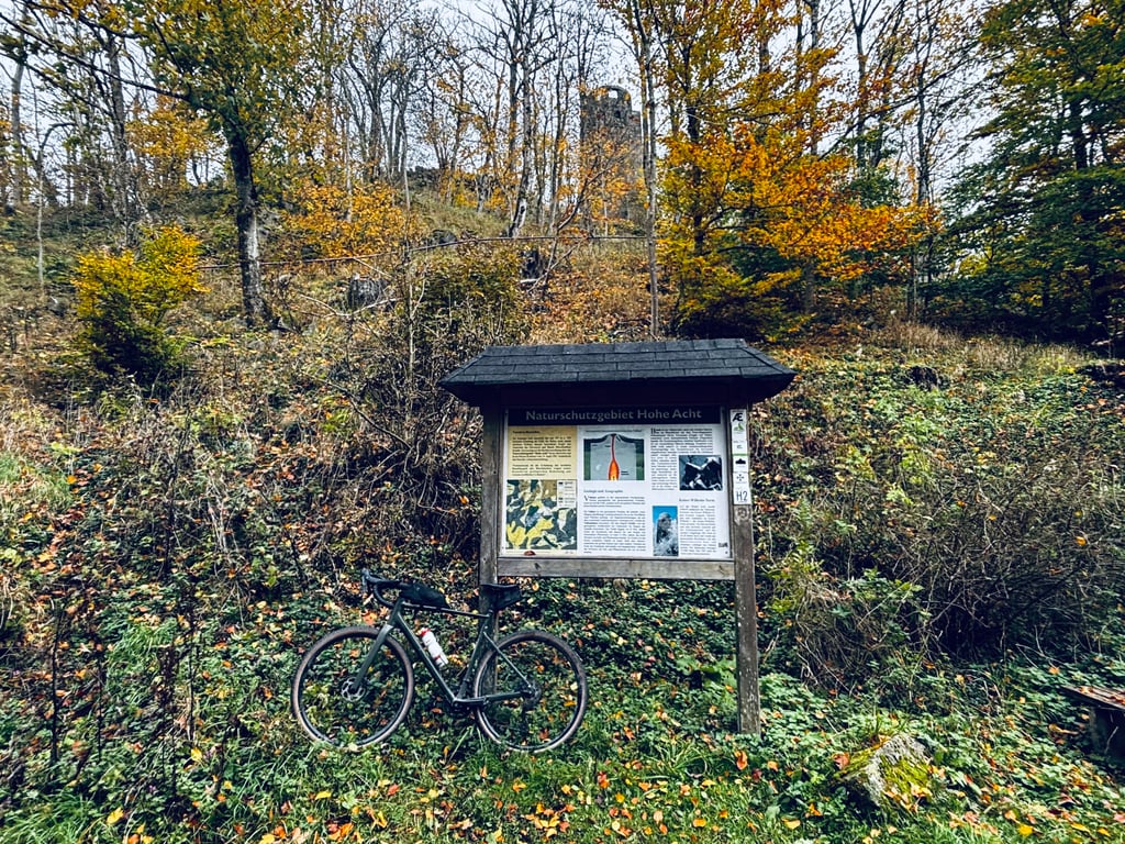
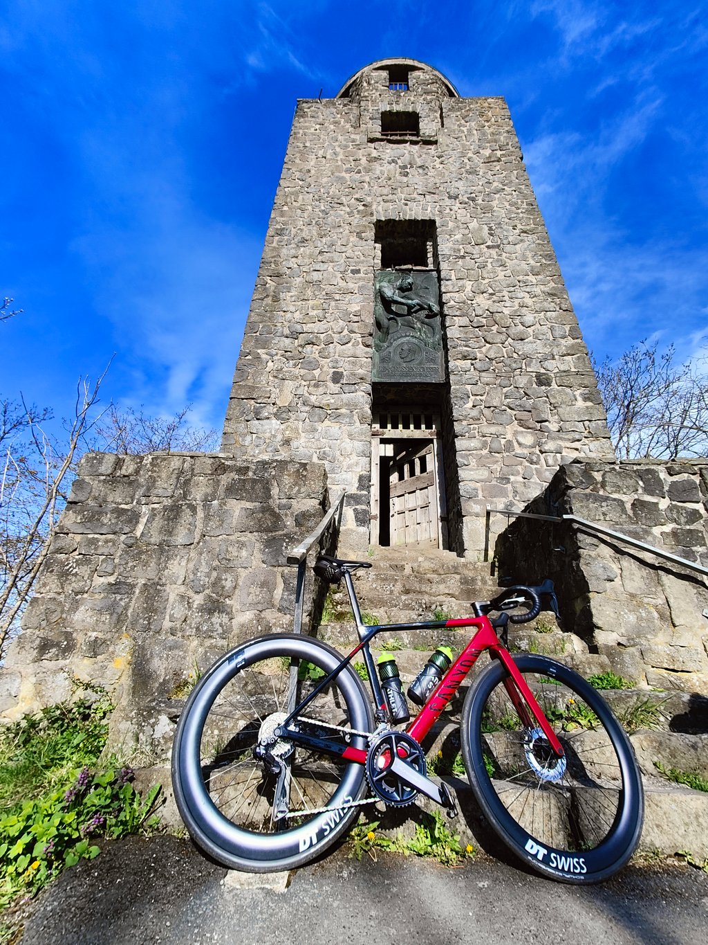
Very nice route to the roof of the Eifel. First you ride through a beautiful valley, after Kaltenborn it gets really climbing and you get the top with tower already in sight. The last part is towards the 15%. The last winding to the tower is incredibly steep (27%), but as a hiking trail it is actually not suitable for cycling up.
Zeer mooie route naar het dak van de Eifel. Eerst rijd je door een mooi dal, na Kaltenborn wordt het echt klimmen en krijg je de top met toren al in zicht. Het laatste deel gaat het richting de 15%. De laatste slinger naar de toren is ontzettend steil (27%), maar als wandelpad eigenlijk niet geschikt om omhoog te fietsen.
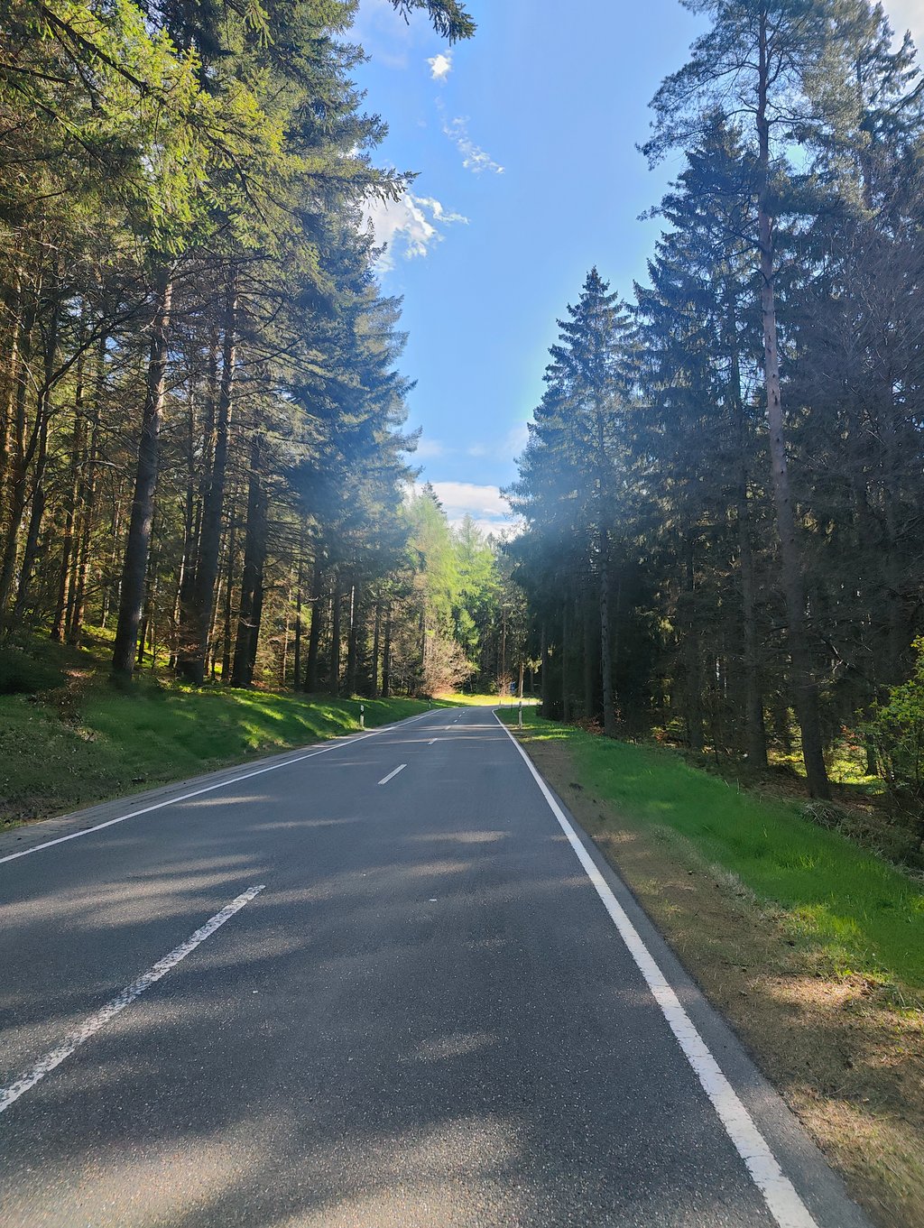
I have only descended this (after climbing the Hohe Acht from Oberbaar). Goes through a beautiful valley. Nowhere steep, except last short piece to Hohe Acht which is the same for all three climbs.
Combi Oberbaar and Kesseling is super. Avoid the busy and wide road from Adenau.
Ik heb dit alleen gedaald (na klim van de Hohe Acht vanuit Oberbaar). Gaat door een prachtig dal. Nergens stijl, behalve laatste korte stukje naar Hohe Acht wat hetzelfde is voor alle drie de klimmetjes.
Combi Oberbaar en Kesseling is super. Vermijd de drukke en brede weg vanaf Adenau.
The traffic is very quiet. The first part of the climb it seems like you just drive on the flat (this is deception, heavier than you would think). As soon as you pass the village it gets very steep and heavy. It drops a bit now and then and it even descends a bit, but some parts are very steep.
Het verkeer is er zeer rustig. het eerst deel van de beklimming lijkt het of je gewoon op het vlakke rijd(dit is bedrog, zwaarder als je zou denken). Vanaf je het dorp passeert wordt het enorm steil en zwaar. Het valt af en toe wat af en het daalt zelfs even, maar sommige stukken zijn enorm steil.
| 5 mph | 01:49:30 |
| 7 mph | 01:17:31 |
| 9 mph | 01:00:25 |
| 12 mph | 00:45:23 |
This page is better in the app