| 3 hairpin turns |
| #19 toughest climb of Rhineland-Palatinate |
| #2 most elevation gain of Rhineland-Palatinate |
| #46 longest climb of Germany |
Hohe Acht via Jammelshofen is a climb in the region Eifel. It is 9.8 mi long and bridges 1716 ft of vertical ascent with an average gradient of 3.3%, resulting in a difficulty score of 308. The top of the ascent is located at 2425 ft above sea level. Climbfinder users shared 2 reviews of this climb and uploaded 4 photos.
Road names: Hauptstraße, K23 & L10
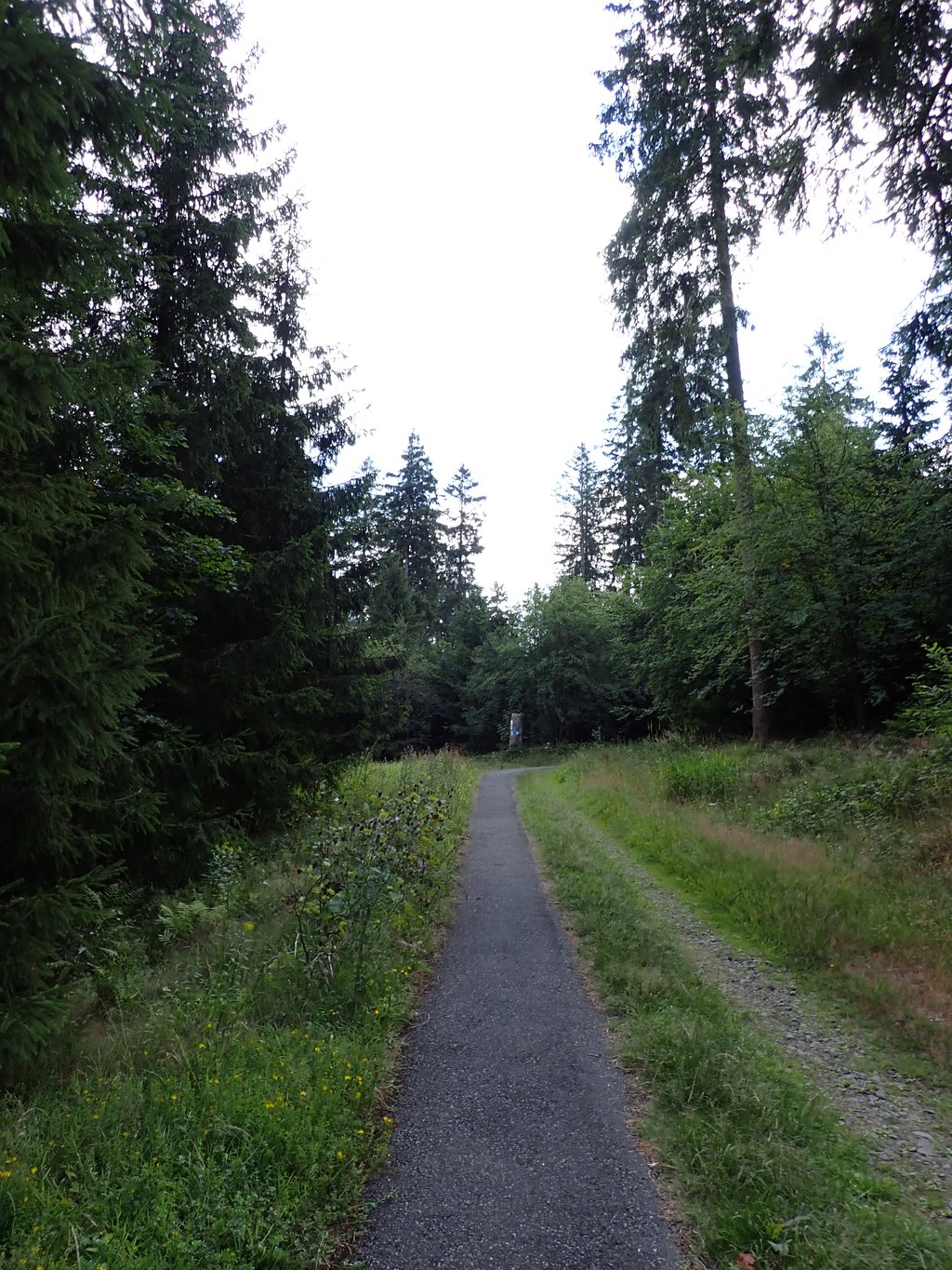
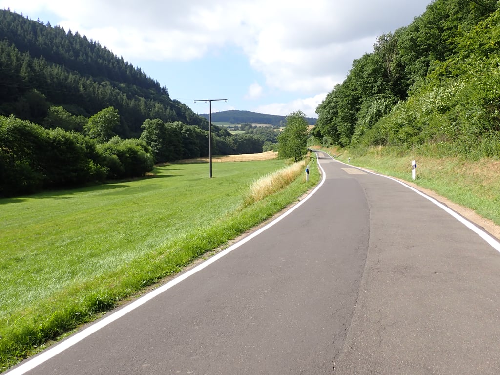
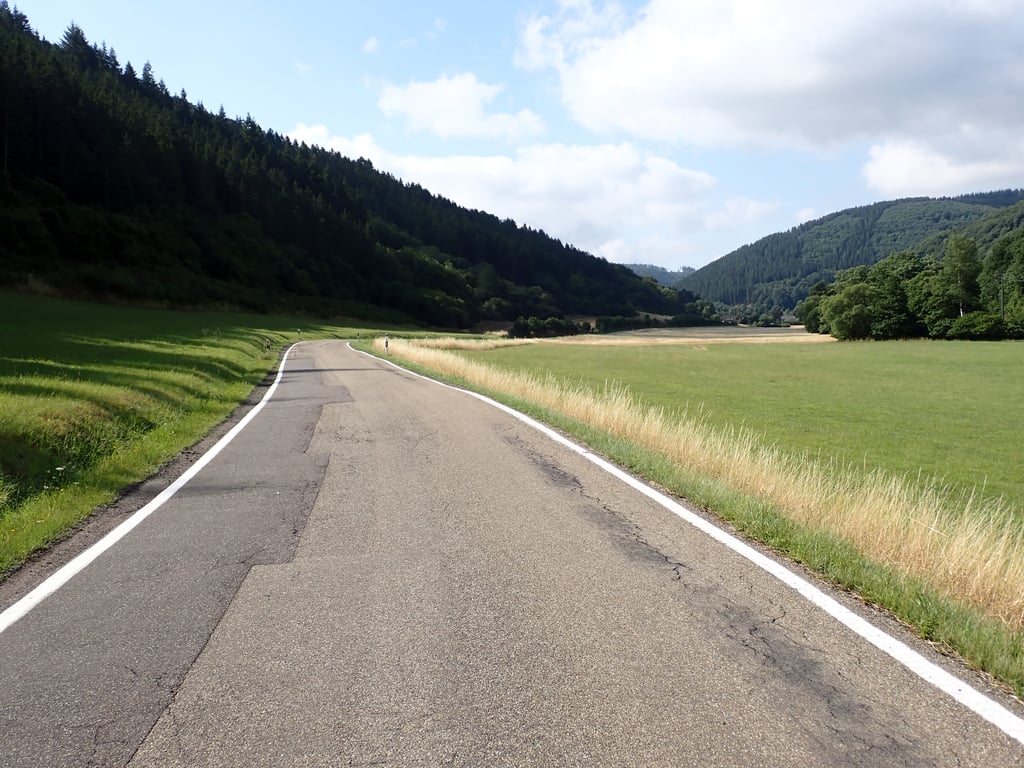
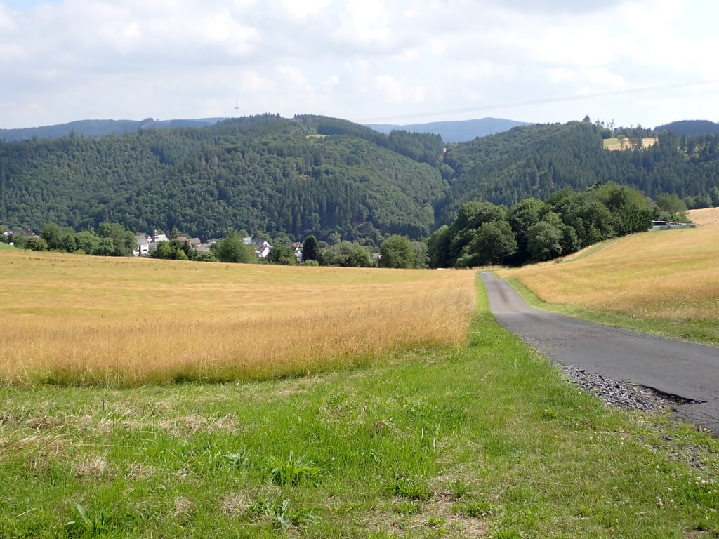
4.0 by TjaartThis is an automatic translation, the original language is: Dutch.Long climb, first gently through the valley to Herschbach. Then the road climbs a little more to Kaltenborn. You descend a bit and then gradually climb further to Jammelshofen. Here it gets steeper, also on the little road after the village to the L10. You follow the busier L10 for a bit and then climb through the forest (no traffic) at a car park, first on a forest road and then a cycle path. The last bit is an asphalt footpath, and very steep, not really for cycling. At the top is the Kaiser-W... read more
Welcome! Please activate your account if you would like to share something. Look for the verification email in your inbox.
If you want to upload your photos, you need to create an account. It only takes 1 minute and it's completely free.
Long climb, first gently through the valley to Herschbach. Then the road climbs a little more to Kaltenborn. You descend a bit and then gradually climb further to Jammelshofen. Here it gets steeper, also on the little road after the village to the L10. You follow the busier L10 for a bit and then climb through the forest (no traffic) at a car park, first on a forest road and then a cycle path. The last bit is an asphalt footpath, and very steep, not really for cycling. At the top is the Kaiser-Wilhelm Turm. It is worth taking a moment to enjoy the view at the top.
Lange klim, eerst rustig door het dal tot Herschbach. Daarna klimt de weg iets meer door naar Kaltenborn. Je daalt een stukje en klimt dan geleidelijk verder naar Jammelshofen. Hier wordt het steiler, ook op het weggetje na het dorp naar de L10. Je volgt de drukkere L10 een stukje en klimt dan bij een parkeerplaats door het bos (geen verkeer), eerst op een bosweggetje en dan een fietspad. Het laatste stukje is een geasfalteerd voetpad, en erg steil, niet echt voor op de fiets. Boven is de Kaiser-Wilhelm Turm. Het is wel de moeite om boven even van het uitzicht te genieten.
I did the largest (and heaviest) part of the climb during the tour Mendig-Budel. This tour is held annually on the first Saturday of July. Highly recommended by the way.
It is a fine climb. Except at Jammelshofen, it is a bit of a struggle. In the Mendig-Budel, they call this piece also the 'col de sjef'. Many cyclists try to ride the fastest time there.
Ik heb het grootste (en zwaarste) deel van de beklimming gereden tijdens de toertocht Mendig-Budel. Deze toertocht wordt jaarlijks op de eerste zaterdag van juli verreden. Echt een aanrader overigens.
Het is een fijne beklimming. Behalve bij Jammelshofen is het een stukje keihard knokken. In de Mendig-Budel noemen ze dit stuk ook wel de 'col de sjef'. Veel fietsers proberen daar de snelste tijd te rijden.
| 5 mph | 01:58:05 |
| 7 mph | 01:23:36 |
| 9 mph | 01:05:09 |
| 12 mph | 00:48:57 |
This page is better in the app