Tips nearby


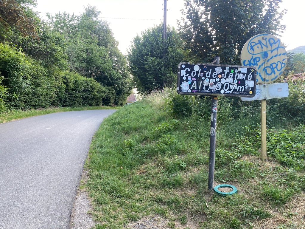
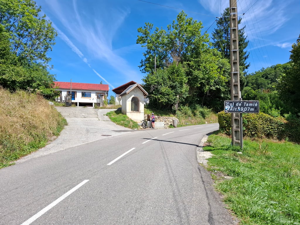
Col de Tamié from Frontenex is a climb in the region Annecy. It is 5.9 mi long and bridges 1903 ft of vertical ascent with an average gradient of 6.1%, resulting in a difficulty score of 413. The top of the ascent is located at 3005 ft above sea level. Climbfinder users shared 5 reviews of this climb and uploaded 8 photos.
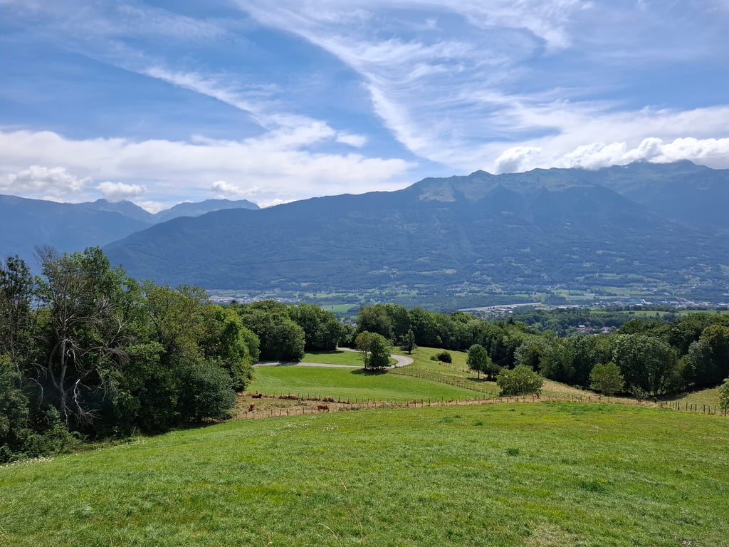
4.0 by dwellekeThis is an automatic translation, the original language is: Dutch.For much of the climb, you have a beautiful view of the mountains across the valley. Traffic isn’t too bad (at least in the evening…) and the road surface is in good condition almost everywhere. During my climb, however, the second-to-last two kilometers were covered with gravel due to roadwork. There was also a kilometer of gravel on the descent toward Faverges. So be careful, everyone heading down here—it’s dangerous!... read more

Welcome! Please activate your account if you would like to share something. Look for the verification email in your inbox.
If you want to upload your photos, you need to create an account. It only takes 1 minute and it's completely free.
For much of the climb, you have a beautiful view of the mountains across the valley. Traffic isn’t too bad (at least in the evening…) and the road surface is in good condition almost everywhere. During my climb, however, the second-to-last two kilometers were covered with gravel due to roadwork. There was also a kilometer of gravel on the descent toward Faverges. So be careful, everyone heading down here—it’s dangerous!
Tijdens een groot deel van de klim heb je mooi zicht op de bergen aan de overkant van het dal. Het verkeer valt goed mee (‘s avonds toch…) en wegdek is nagenoeg overal in goede staat. Bij mijn beklimming waren de twee voorlaatste kilometers wel bedekt met kiezeltjes door werken aan de weg. Ook in de afdaling richting Faverges was er een kilometer met kiezels. Opgelet dus aan iedereen die hier afdaalt, het ligt er gevaarlijk bij!
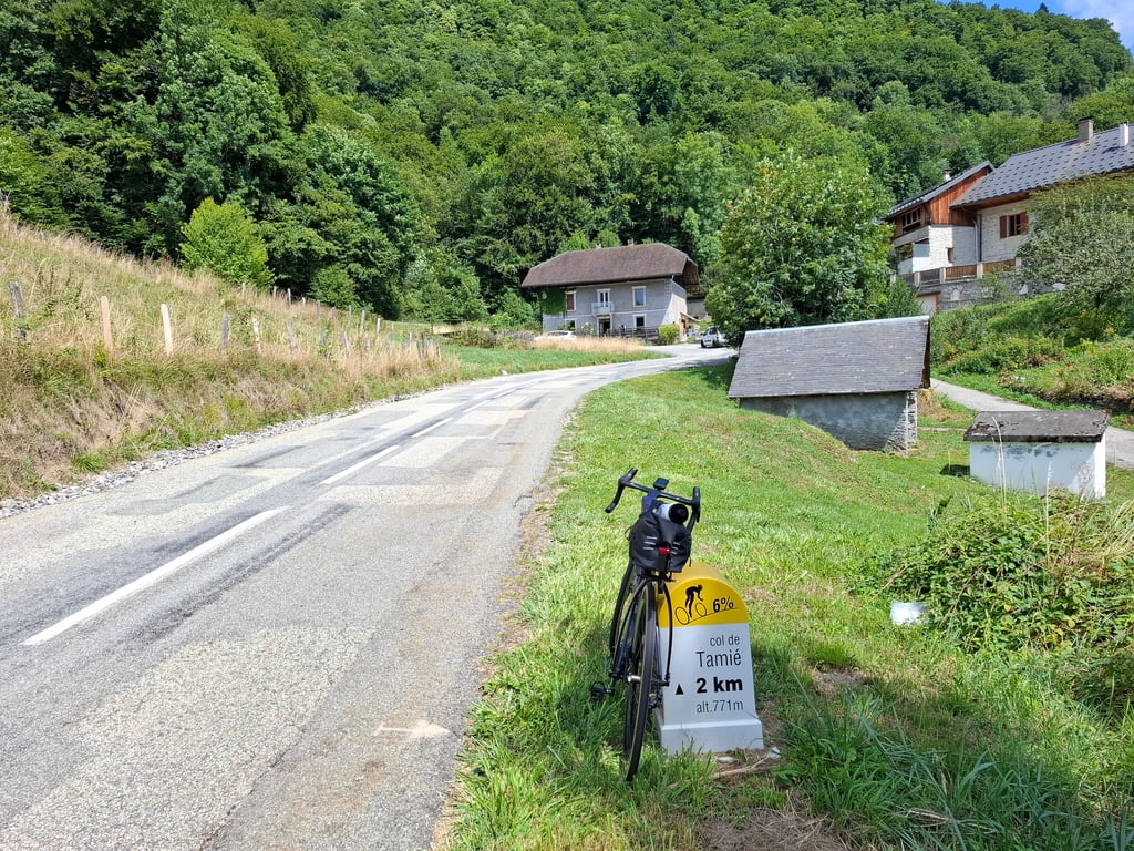
The Col de Tamié is a fine and not too difficult climb. At 10 kilometres, the distance is manageable. The percentages are constantly around 6 to 7%. The road surface is a typical French patchwork with stuck pieces of asphalt. It all bumps a bit. There is some traffic as it is a through road, but I did not find it disturbing. At the top you will find a little fountain with lovely cool water.
De Col de Tamié is een prima en niet al te moeilijke klim. Met 10 kilometer is de afstand goed te overzien. De percentages liggen constant rond de 6 a 7%. Het wegdek is een typisch Franse lappendeken met geplakte stukken asfalt. Het hobbelt allemaal wat. Er is wat verkeer omdat het een doorgaande weg is, maar ik vond het niet storend. Op de top vind je een fonteintje met heerlijk koel water.
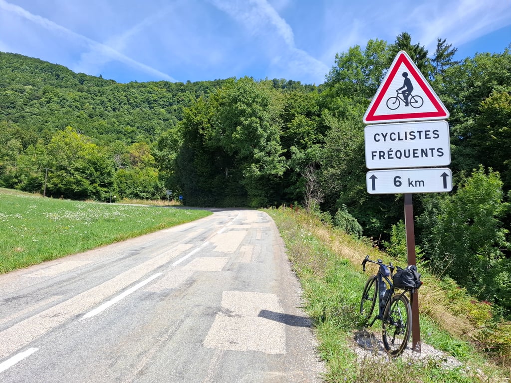
Nice road and nice climb. Little traffic. South facing, with little shade, it can be very hot, bring water.
Belle route et belle montée. Peu de traffic. Exposé plein Sud, avec peu d’ombre, il peut faire très chaud, prévoir de l’eau.
A classic route in the region, the Col de Tamié allows you to join the Combe de Savoie to the Haute Savoie.
Many variants exist and it is difficult to describe them all. The one via Frontenex is one of the best known.
Itinéraire classique de la région, Le col de Tamié permet de joindre la Combe de Savoie à la Haute Savoie.
De nombreuse variantes existent et difficile de toutes les décrire, celle par Frontenex et l'unes des plus connues.
| 5 mph | 01:11:15 |
| 7 mph | 00:50:26 |
| 9 mph | 00:39:18 |
| 12 mph | 00:29:32 |
This page is better in the app