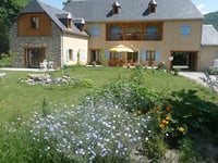
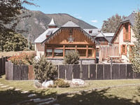
Tips nearby


| 2 hairpin turns |
| #40 toughest climb of Hautes-Pyrénées |
| #93 most elevation gain of Occitania |
| #70 longest climb of Occitania |
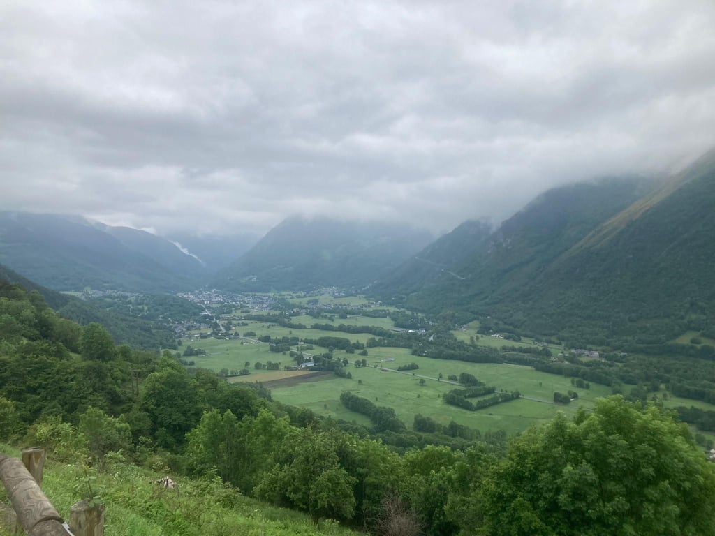
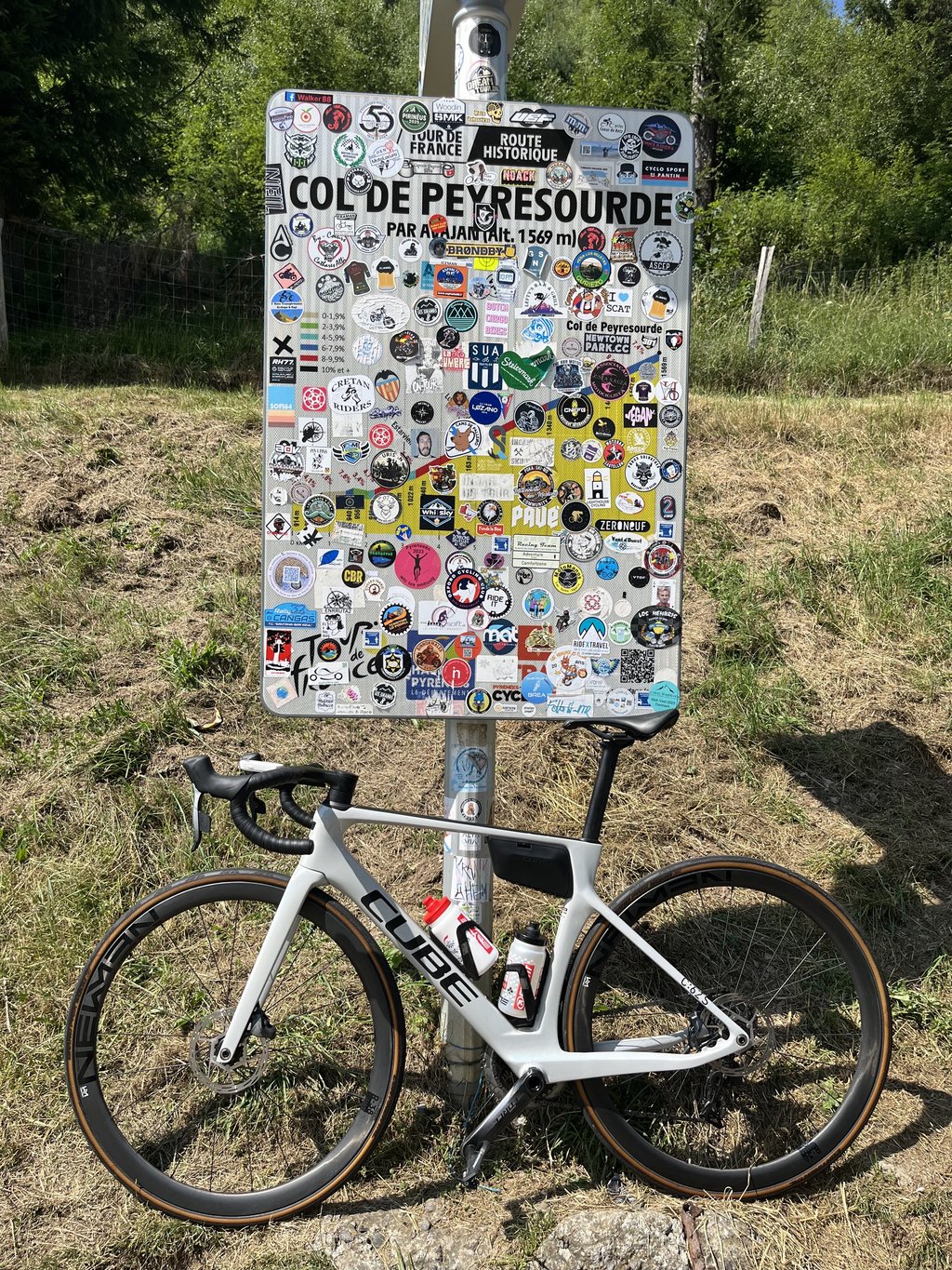
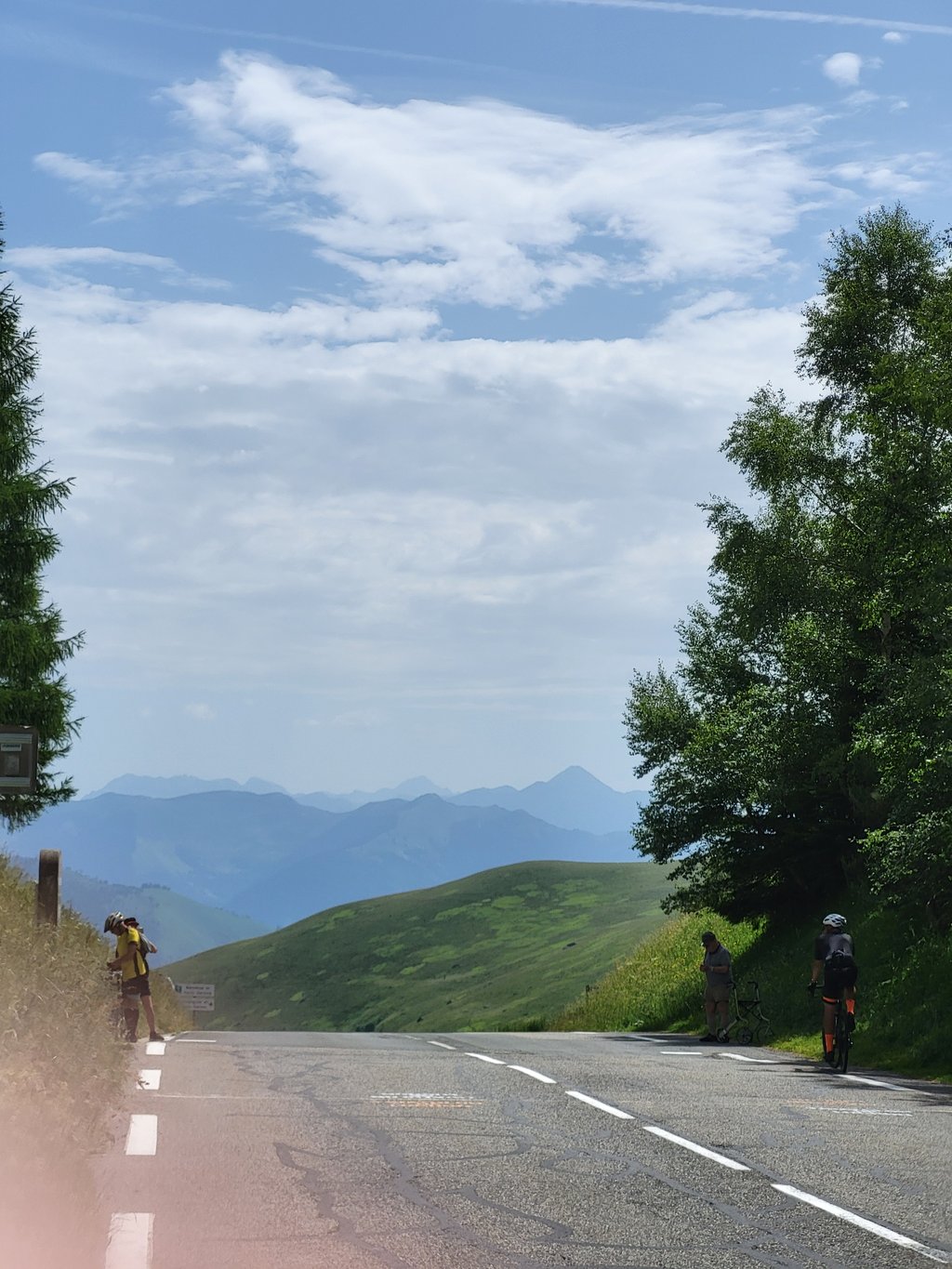
Col de Peyresourde is a climb in the region Hautes-Pyrénées. It is 11.2 mi long and bridges 2854 ft of vertical ascent with an average gradient of 4.8%, resulting in a difficulty score of 586. The top of the ascent is located at 5148 ft above sea level. Climbfinder users shared 11 reviews of this climb and uploaded 22 photos.
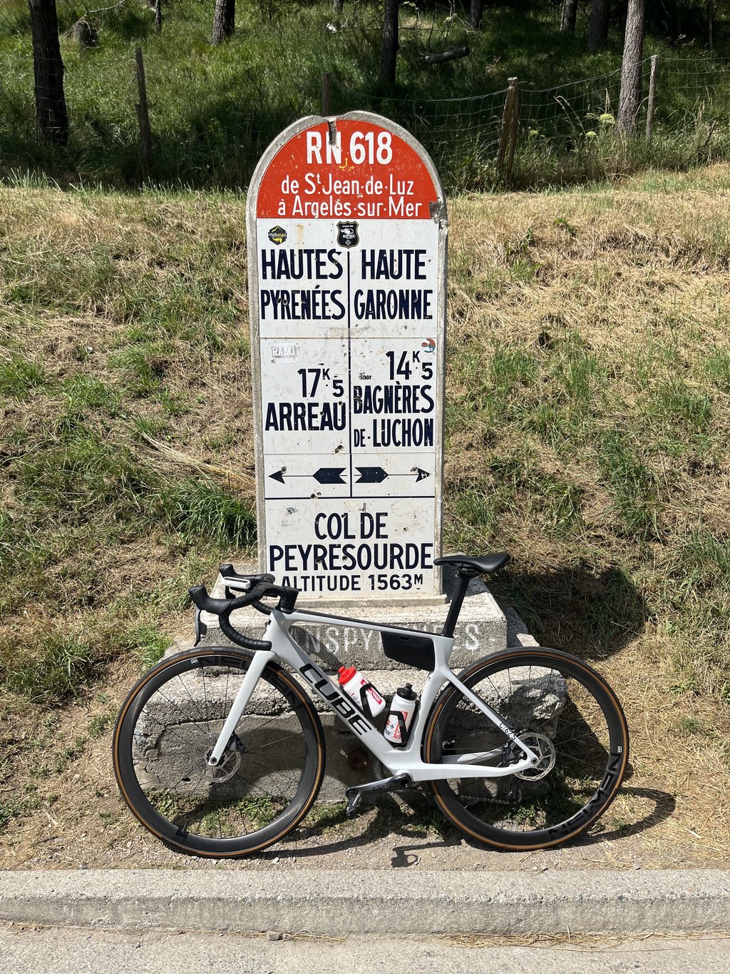
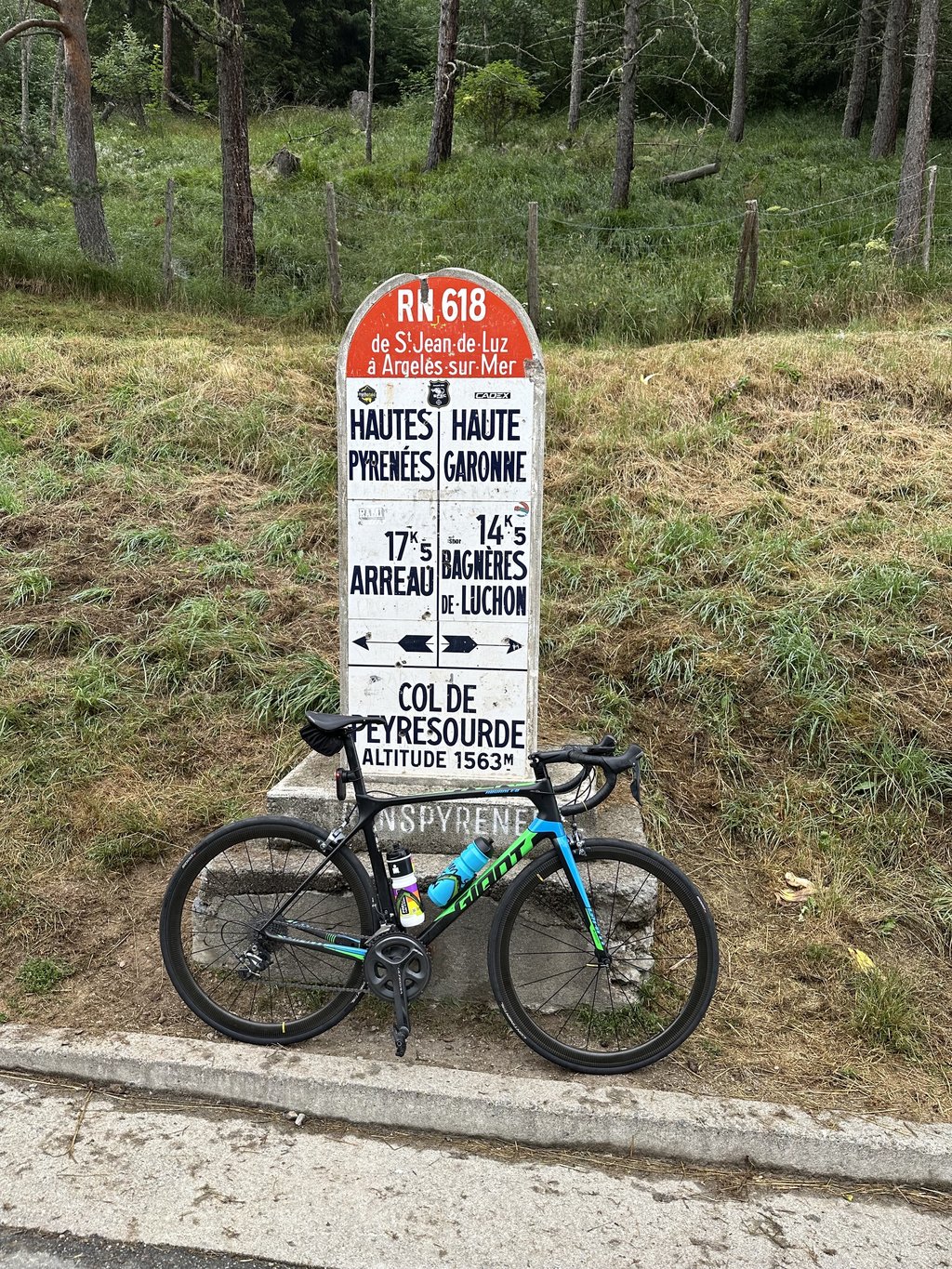
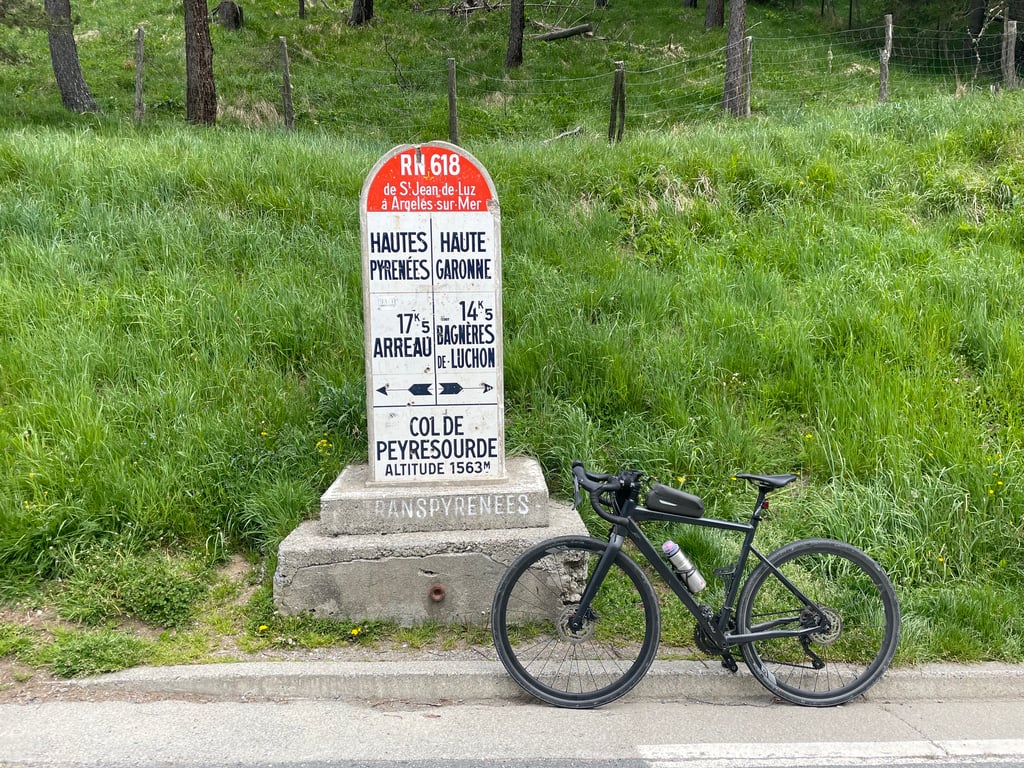
Road names: Route du Luchon & D618
4.0 by arnaudlsThis is an automatic translation, the original language is: French.A nice, fairly steady climb at the end. Beautiful view of Lake Loudenvieille... read more
Welcome! Please activate your account if you would like to share something. Look for the verification email in your inbox.
If you want to upload your photos, you need to create an account. It only takes 1 minute and it's completely free.
A nice, fairly steady climb at the end. Beautiful view of Lake Loudenvieille
Belle montée assez régulière sur la fin. Belle vue sur le lac de Loudenvieille
Fine climb, never really tough, although the devil is in the tail. Not the prettiest climb in the region, but one to tick off.
Prima klim, nooit echt zwaar, al zit hem het venijn in de staart. Niet de mooiste klim uit de regio, wel een om af te strepen.
A fine, fairly regular climb that is less steep than the Col d'Azet, also from Loudenvielle. Once at the top, don't hesitate to continue towards the Peyragude resort.
Belle ascension assez régulière et moins raide que le col d’Azet depuis également Loudenvielle. Une fois en haut n’hésitez pas à poursuivre vers la station de Peyragude.
Very nice climb. Quite easy at the start, but it intensifies at the end.
Très belle montée. Assez facile au début mais qui s'intensifie à la fin.
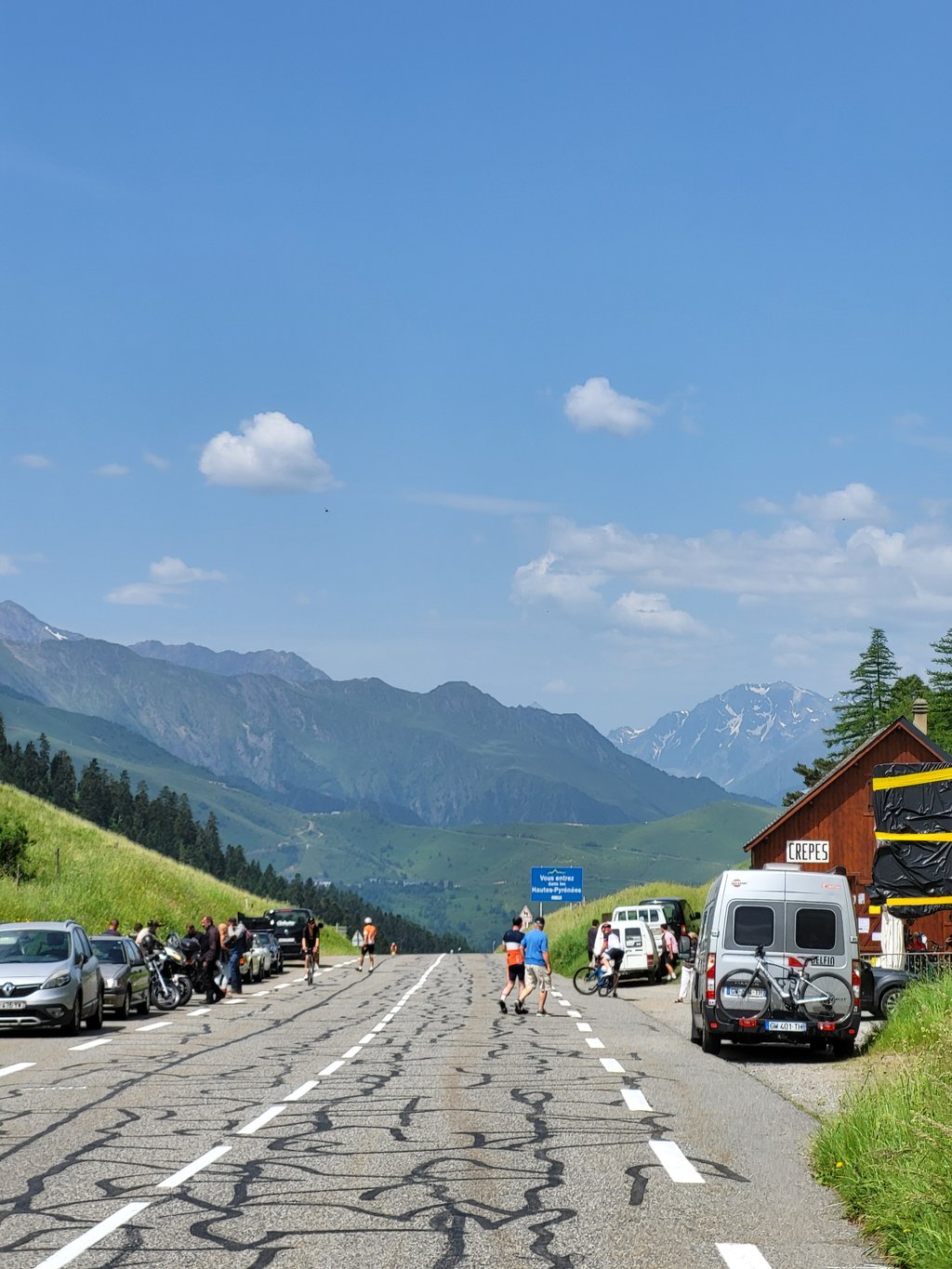
Very nice climb. Never gets really very steep anywhere and is therefore quite doable. The last kilometre is definitely not 11% in my opinion rather 7%. At the top delicious crepes for €0.70 each or 12 for €7. Going down this side is when it really gets enjoyable. The most beautiful descent I have ever done in my life. Very good running and few hairpin bends so you can reach high speeds even without taking any real risks's.
Hele fijn klim. Wordt nergens echt heel steil en is daarom goed te doen. De laatste kilometer is absoluut geen 11% volgens mij eerder 7%. Bovenop heerlijke crepes voor €0,70 per stuk of 12 voor €7,- (zomer 2023). Als je deze kant afdaalt wordt het pas echt genieten. De mooiste afdaling die ik ooit gedaan heb in mijn leven. Heel goed lopend en weinig haarspeldbochten waardoor je zelfs zonder echte risico's te nemen hoge snelheden kan bereiken.
I adjusted the climb, something had gone wrong in our calculation. Now it's more correct! Thanks for reporting it.
Ik heb de klim aangepast, er was iets fout gegaan bij onze berekening. Nu klopt het meer! Bedankt voor het melden.
Interesting climb, which I did very early in the season, so not yet in top form.
I found it easier than the climb from Luchon.
Montée intéressante, que je réalise très tôt dans la saison, donc pas encore au top de ma forme.
Je l'ai trouvée plus facile que la montée en venant de Luchon.
Not a goal as such, but if you're in the area you might as well take this one with you. Lots of traffic on the D618 from Arreau towards Avajan. Then the beautiful part of the col begins with a beautiful valley on your right. That last kilometer is a tough one.
Geen doel op zich, maar als je dan toch in de buurt bent pak je deze maar mee. Veel verkeer op de D618 vanuit Arreau richting Avajan. Daarna begint het mooie gedeelte van de col met een prachtige vallei aan je rechterzijde. Die laatste kilometer hakt er wel in.
Nice climb which is not too difficult in the beginning. The gradient increases as you go higher and higher on your bike. Not always easy. But for each climb, one should work on his condition beforehand. Cycled up this side, but the photos are mainly photographed on the other side.
Mooie beklimming die in het begin niet al te moeilijk is. Het stijgingspercentage loopt op als men hoger en hoger rijdt met de fiets. Niet altijd gemakkelijk. Maar voor elke beklimming geldt dat men vooraf dient te werken aan zijn conditie. Langs deze kant naar boven gefietst, maar de foto's zijn voornamelijk gefotografeerd aan de andere zijde.
Longer side of this Tour classic climbed starting from Arreau.
First part (10 km) is a long slightly uphill run to warm up with heavy traffic along the river which forms the Vallée de Louron.
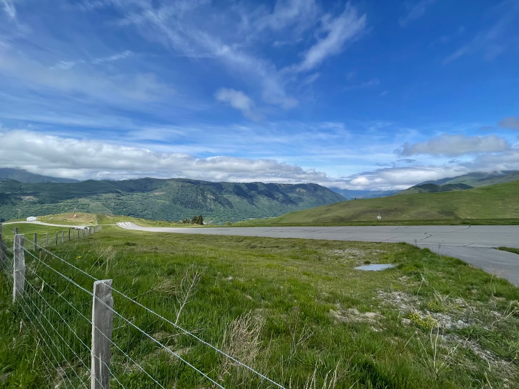
At the roundabout when entering Avajan, after a slight descent, the real climbing starts with a continuous average of 8% up to the top. This is also where the cycling information signs appear every kilometre (distance to the top/altitude/and average gradient next kilometre). The route is slightly winding wide road, except for some long bends and 2 hairpin bends. Pass height on the ridge comes into view from afar and, in addition to drink/dining facilities, has the large boundary post as an eye-catcher marking the separation between the Haute Garonne and Hautes Pyrenées departments.
This is where Froome started his spectacular descent attack to Luchon in 2016.
Col de Peyresourde is a classic whose two sides should be on your cycling program.
I personally found the other side (from Luchon) more beautiful and slightly tougher.
In comparison with the other Tour classics Tourmalet/Aubisque/Aspin it is the little brother in all its aspects!
Langere zijde van deze Tourklassieker beklommen vertrekkend uit Arreau.
Eerste deel (10 km) is een lange licht stijgende aanloop als opwarming met druk verkeer langs de rivier die de Vallée de Louron vormt.
Aan rond punt bij binnenrijden van Avajan volgt na een lichte afdaling de echte start van het klimwerk met continu rond de 8% gemiddeld tot de top. Hier verschijnen dan ook de fietsinfobordjes elke kilometer (afstand tot de top/hoogte/en gemiddeld stijgingspercentage volgende kilometer). De route is licht kronkelende brede weg , op enkele lange bochten en 2 haarspeldbochten na. Pashoogte op de bergkam komt van ver in het zicht en heeft naast drank/eetgelegenheid de grote grenspaal als blikvanger die de scheiding tussen de departementen Haute Garonne en Hautes Pyrenées aangeeft.
Hier startte Froome in 2016 zijn spectaculaire afdalingsaanval naar Luchon.
Col de Peyresourde is een klassieker waarvan de twee kanten op je fietsprogramma moeten staan.
Ik vond persoonlijk de andere zijde (vanuit Luchon) mooier en iets zwaarder.
In vergelijking met de andere Tour klassiekers Tourmalet/Aubisque/Aspin is het toch het kleine broertje in al zijn aspecten!
Dull approach, but then it becomes worthwhile. We recommend taking the exit to the right and cycling over the Peyregude. After the roundabout, descend a bit and you come out at the finish of the Peyresourde. Is slightly longer, but beautiful.
Saaie aanloop, maar dan wordt-ie de moeite waard. Aanrader is de afslag naar rechts te nemen en over de Peyregude te fietsen. Na de rotonde een stukje afdalen en je komt uit bij de finish van de Peyresourde. Is iets langer, maar wel mooi.
| 5 mph | 02:15:42 |
| 7 mph | 01:36:04 |
| 9 mph | 01:14:52 |
| 12 mph | 00:56:15 |
This page is better in the app