| Hidden gem |
| #7 toughest climb of Haspengouw |
| #10 most elevation gain of Haspengouw |
| #41 average steepest climb of Haspengouw |
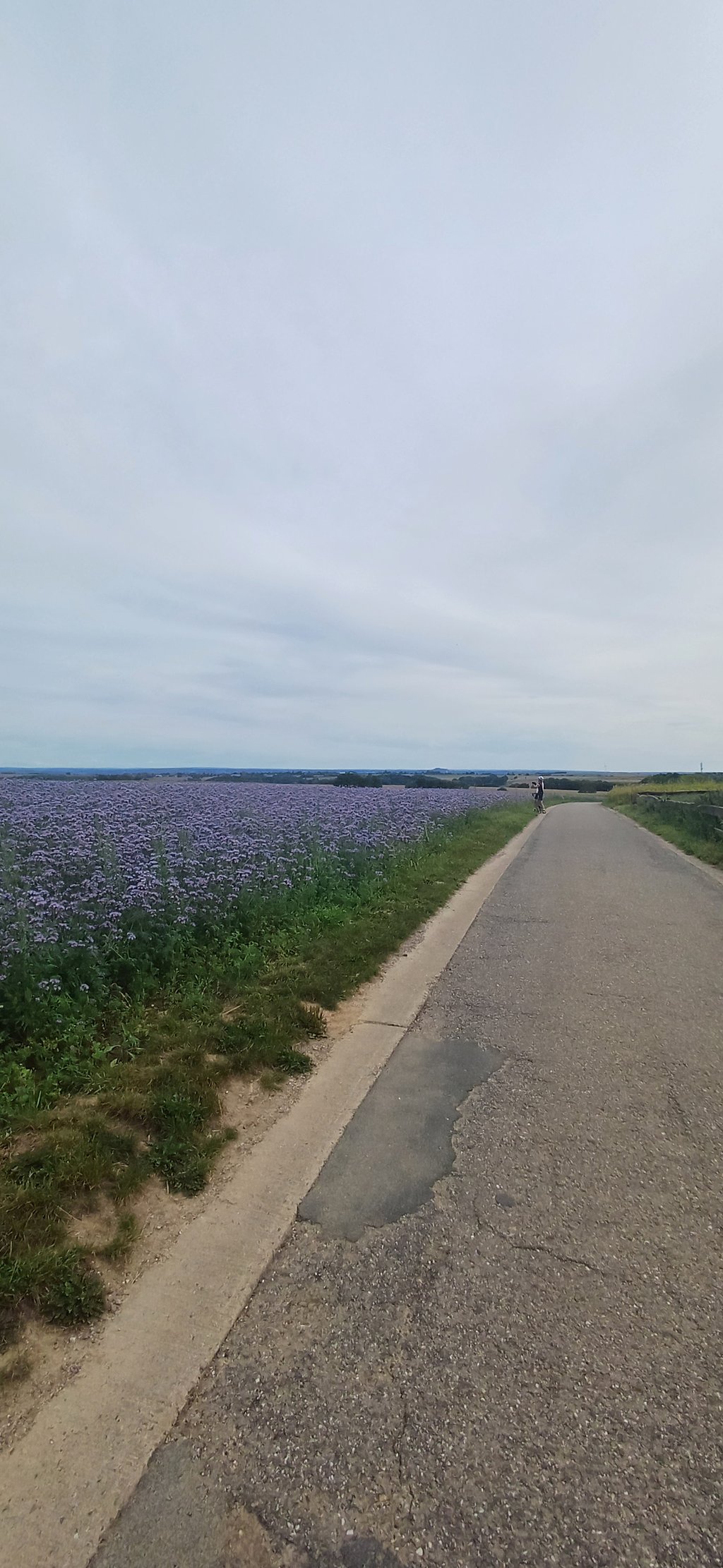
Thier Bégot is a climb in the region Haspengouw. It is 1.2 km long and bridges 71 m of vertical ascent with an average gradient of 6%, resulting in a difficulty score of 50. The top of the ascent is located at 148 m above sea level. Climbfinder users shared 5 reviews of this climb and uploaded 13 photos.
Road name: Rue Thier Bégot
4.0 by MielTThis is an automatic translation, the original language is: Dutch.Nice climb that first climbs along the motorway and then rises far above it. It's one of the region's trickier slopes and fortunately, unlike many other climbs in this valley, you don't have to ride on a gravel path at the top to get back on paved roads. It never gets really steep anywhere, but of course, if you don't find it tricky enough, you can always choose to do the parallel running Thier du Moulin ;-)... read more

Welcome! Please activate your account if you would like to share something. Look for the verification email in your inbox.
If you want to upload your photos, you need to create an account. It only takes 1 minute and it's completely free.
Nice climb that first climbs along the motorway and then rises far above it. It's one of the region's trickier slopes and fortunately, unlike many other climbs in this valley, you don't have to ride on a gravel path at the top to get back on paved roads. It never gets really steep anywhere, but of course, if you don't find it tricky enough, you can always choose to do the parallel running Thier du Moulin ;-)
Leuke klim die eerst langs de autostrade klimt en daarna er ver bovenuit stijgt. Het is een van de lastigere hellingen van de regio en gelukkig moet je, in tegenstelling tot veel andere klimmetjes in deze vallei, op de top niet over een gravelpad rijden om terug op verharde wegen te komen. Hij wordt nergens echt steil, maar als je hem niet lastig genoeg vindt, kan je er natuurlijk altijd voor kiezen om de parallel lopende Thier du Moulin te doen ;-)
You first ride under the motorway before climbing to a bridge that crosses the same motorway. Spicy for a while in the middle, but certainly falls at a fast pace on it.
Je rijdt eerst onder de snelweg door om dan te klimmen naar een brug die diezelfde snelweg oversteekt. In het midden even pittig, maar valt zeker met een hoog tempo op te rijden.
For a moment I had forgotten how many points this climb had and then it is a setback (in a positive sense then) because it starts under the highway and later rises far above it. The road goes up at a good percentage and later becomes even steeper and the slope continues for a long time in turn after turn. Only on the plateau does the gradient decrease. The highest point is at a small lookout hill with a bench. At the top so nice views and the road has good asphalt.
Ik was even vergeten hoeveel punten deze klim had en dan is het wel een tegenvaller (in positieve zin dan) want hij begint onder de snelweg en stijgt daar later ver bovenuit. De weg gaat aan een flink percentage omhoog en wordt later nog even steiler en de helling gaat bocht na bocht lang door. Pas op het plateau neemt de helling af. Het hoogste punt ligt bij een klein uitkijkheuveltje met een bankje. Bovenin dus mooi uitzicht en de weg heeft prima asfalt.
This one is steeper than you would think, once in the bend it gets more difficult. The end and the descent on the other side have a bad road surface.
Deze is steiler dan je zou denken, eens in de bocht wordt het al wat moeilijker. Het einde en de afdaling langs de andere kant heeft een slecht wegdek.
Nice piece of road even though it's right next to the highway. In the middle of the climb you have to bite the bullet. Then it hurts. Towards the end, the road flattens out a bit. But this is where the road gets a lot worse, strangely enough at about the time you enter Limburg.
Mooi stukje weg ook al ligt dit vlak langs de autostrade. In het midden van de klim moet je wel even doorbijten. Dan doet het pijn. Naar het einde toe vlakt het een beetje uit. Maar hier wordt de weg wel een pak slechter, vreemd genoeg ongeveer op het moment dat je in Limburg komt.
| 7 km/h | 00:10:11 |
| 11 km/h | 00:06:29 |
| 15 km/h | 00:04:45 |
| 19 km/h | 00:03:45 |
This page is better in the app