Orange Montisel from Saint-Pierre-en-Faucigny is a climb in the region Haute Savoie. It is 10.6 km long and bridges 618 m of vertical ascent with an average gradient of 5.8%, resulting in a difficulty score of 447. The top of the ascent is located at 1096 m above sea level. Climbfinder users shared 2 reviews of this climb and uploaded 13 photos.
Road names: Route des Gorges du Borne, Route de la Forêt & Route d'Orange
4.0 by AlexC8This is an automatic translation, the original language is: Dutch.Epic climb because of its steepness, narrow road through the forest and gravel sections. Is really doable on a road bike if you are not afraid of gravel, but going down this side I would strongly advise against and is asking for trouble (on a road bike)... read more

Welcome! Please activate your account if you would like to share something. Look for the verification email in your inbox.
If you want to upload your photos, you need to create an account. It only takes 1 minute and it's completely free.
 Continue with Google
 Continue with Facebook
 Continue with Apple
Sign up with email
Continue with Apple
Sign up with email
What a strange road!
Be warned, this climb isn’t for everyone!
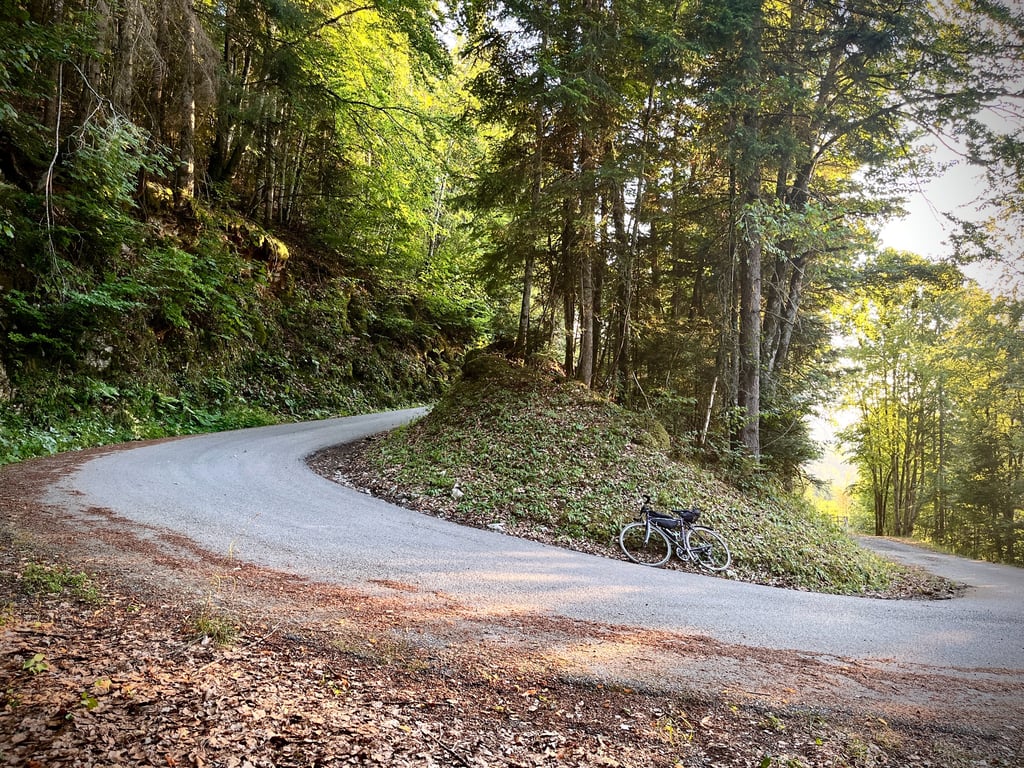
Up to Saint Laurent, everything’s fine: the road is excellent and the gradients are gentle. It’s a classic, gentle climb.
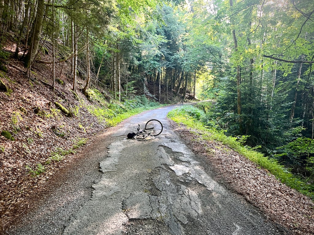
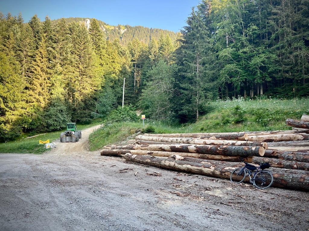
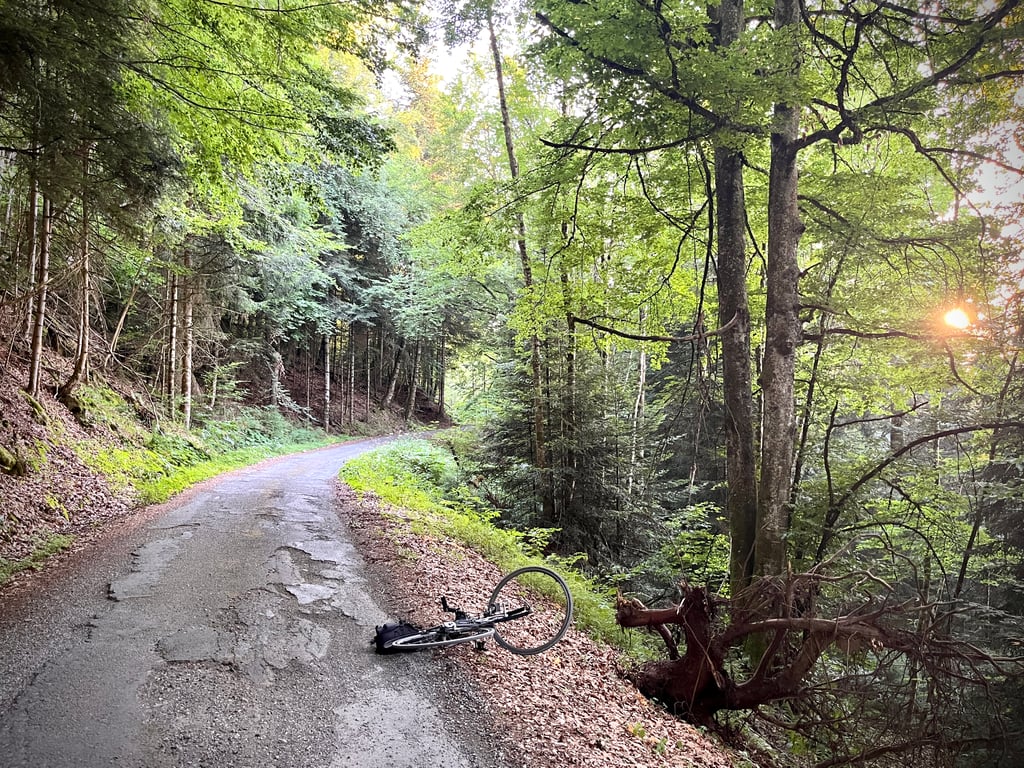
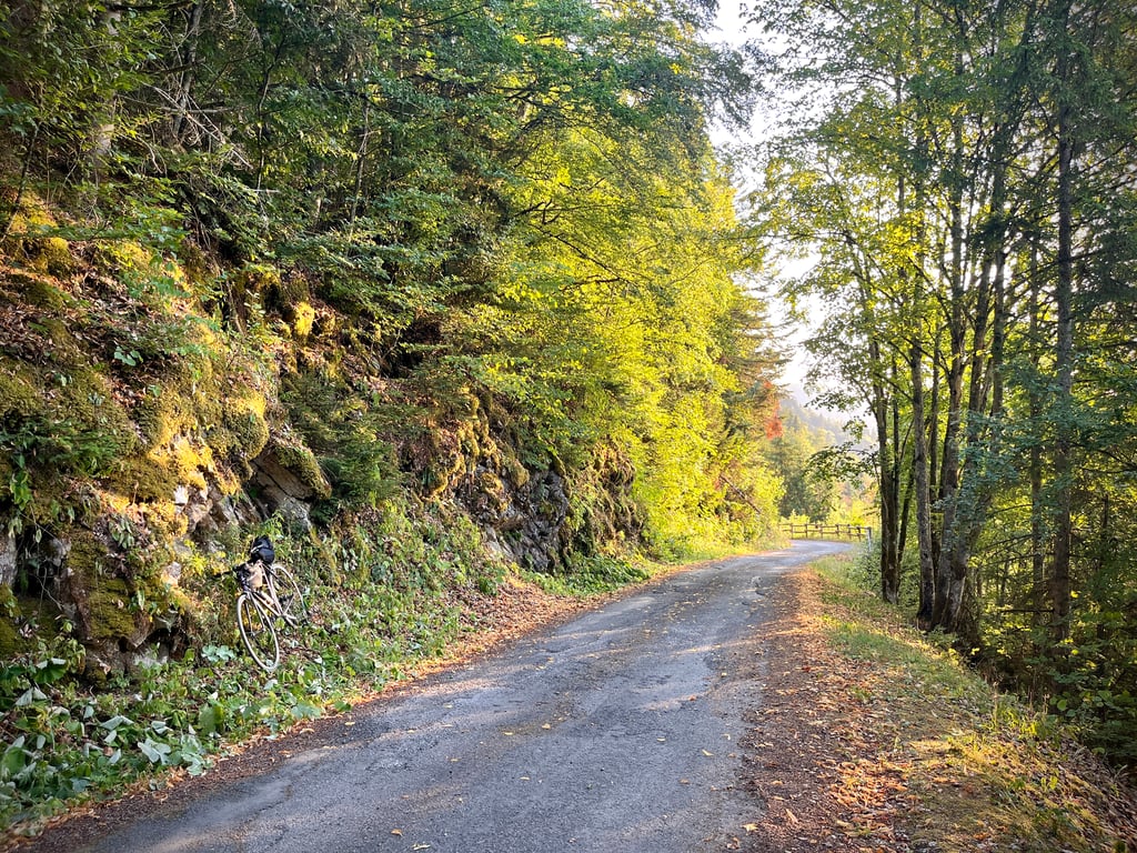
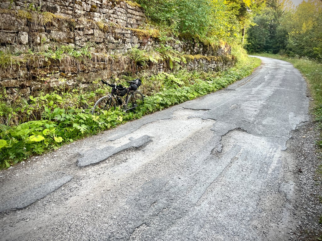
As you leave the village, the gradients get steeper, the road narrows and the surface deteriorates dramatically!
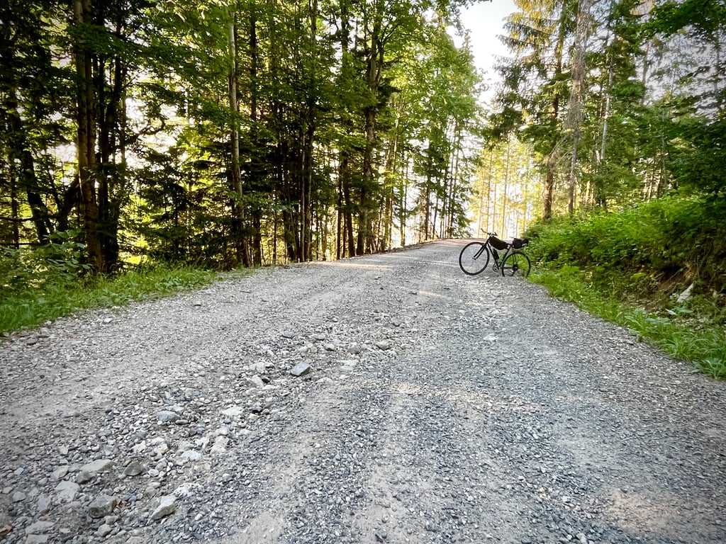
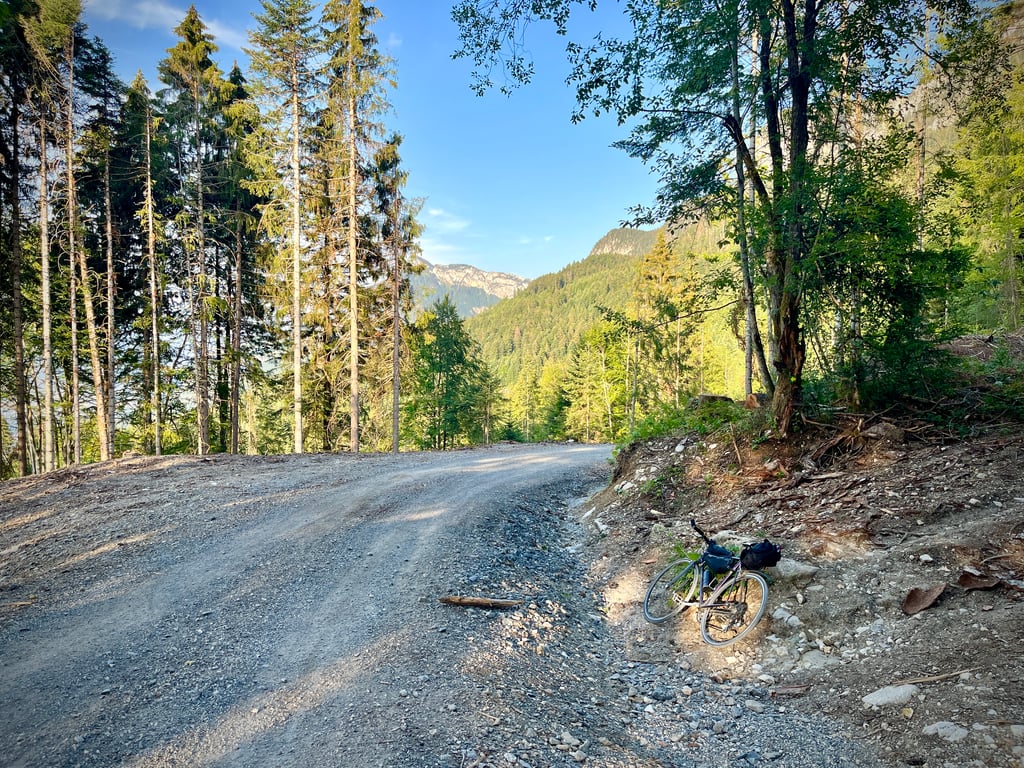
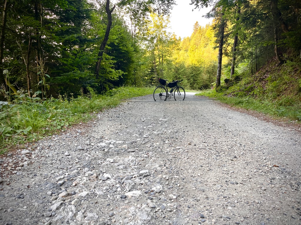
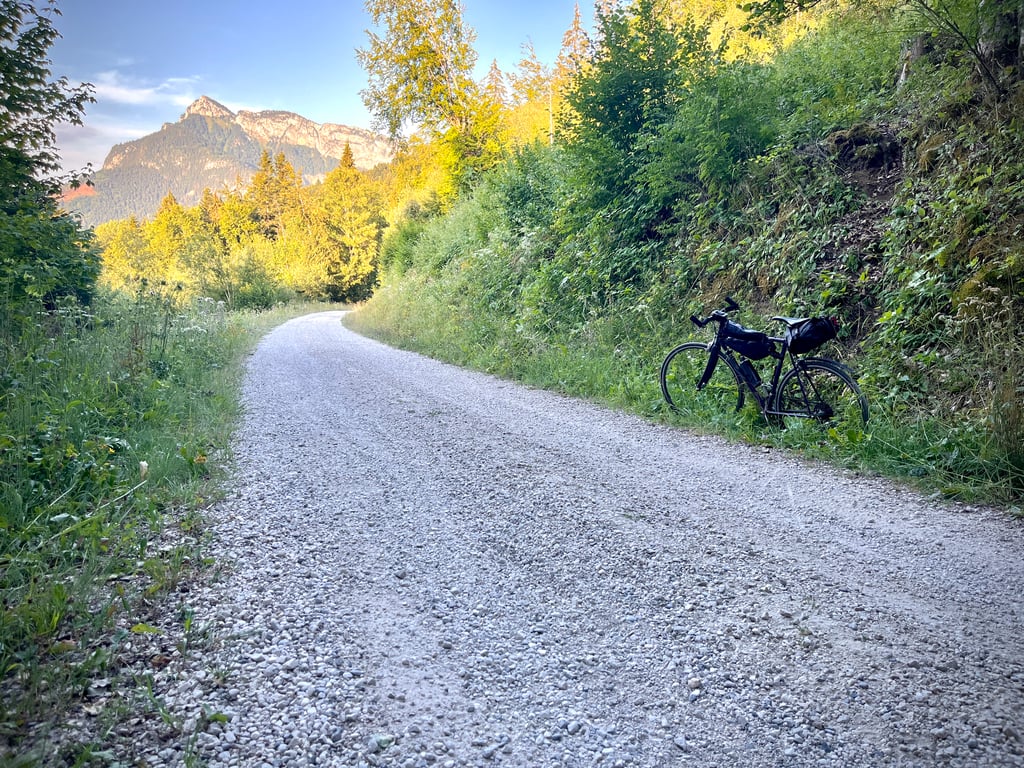
After that, it’s a mix of gravel sections and stretches of very potholed tarmac. And a whole host of drainage ditches that are real tricksters.
Anyone who’s afraid of gravel and potholes should never venture this way…
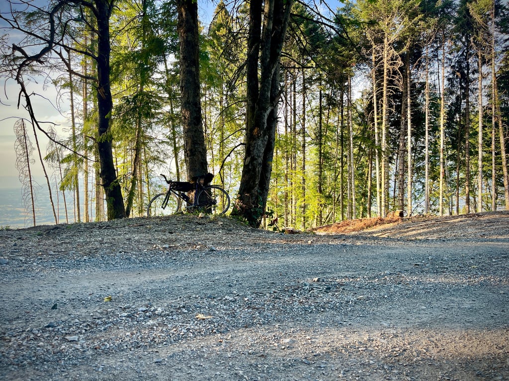
In terms of gravel, we’ve got everything from beginner-level gravel to advanced terrain. Some sections have some steep gradients. The end is much gentler.
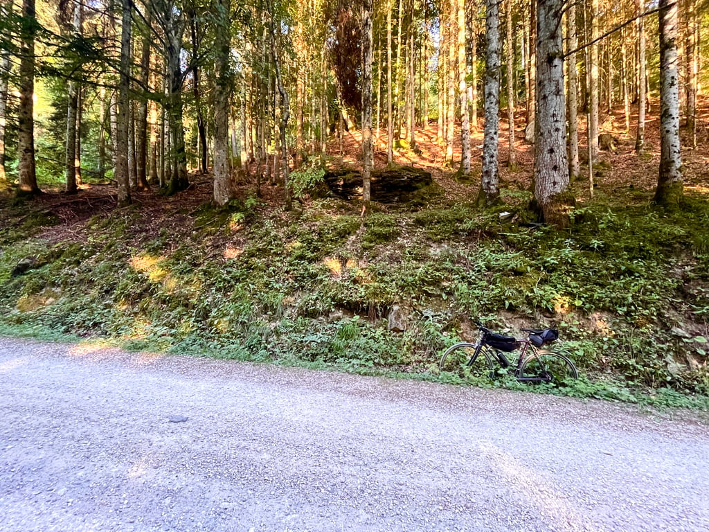
This sort of trail that climbs through the forest is quite unique. You’ve got to love it.
AlexC8 is right: you need to be careful on the descent.
It’s incredibly wild. The forest is beautiful. It’s obviously deserted.
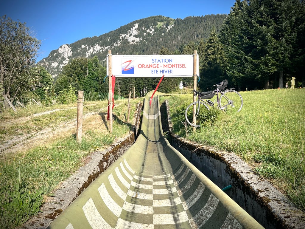
At the top is the village of Montisel and its ‘Orange’ resort. At this time of year, people head up there (not via this road, mind you…) to go summer tobogganing.
Personally, I enjoyed it, but this climb is only for those who appreciate bumpy roads, stones and gravel.
Une bien étrange route !
Attention, cette montée n’est pas pour tout le monde !
Jusqu’à Saint Laurent, tout va bien : la route est excellente et les pourcentages sont sages. C’est une ascension classique et douce.
À la sortie de ce village, les pourcentages s’emballent, la route s’étroitise et se détériore singulièrement !
Ensuite, ce sera une alternance de passages gravel et de tronçons de bitume très dégradé. Et une flopée de rigoles d’évacuation d’eau qui sont de vraies traîtresses.
Que ceux qui ont peur des graviers et des nids de poules ne se promènent jamais par ici…
En terme de gravel, nous avons du gravel débutant, jusqu’au gravel confirmé. Certains passages offrent des pourcentages solides. La fin est nettement plus calme.
Ce type de pistes qui grimpent en forêt, c’est particulier. Il faut aimer ça.
AlexC8 a raison : pour la descente, la prudence est de mise.
C’est ultra sauvage. La forêt est belle. C’est évidemment désert.
En haut, le village de Montisel et sa station « Orange ». À cette saison, les gens montent (pas par cette route…) pour faire de la luge d’été.
Personnellement, j’ai aimé, mais cette montée est réservée à ceux qui apprécient les routes défoncées, les cailloux et le gravier.
Epic climb because of its steepness, narrow road through the forest and gravel sections. Is really doable on a road bike if you are not afraid of gravel, but going down this side I would strongly advise against and is asking for trouble (on a road bike)
Episch klimmetje vanwege de stijlheid, smalle weg door het bos en gravel-stukken. Is echt goed te doen op een racefiets als je niet bang bent voor gravel, maar deze kant afdalen zou ik sterk afraden en is vragen om problemen (op een racefiets)
| 7 km/h | 01:30:48 |
| 11 km/h | 00:57:47 |
| 15 km/h | 00:42:22 |
| 19 km/h | 00:33:27 |
This page is better in the app