Tips nearby


| Beautiful scenery |
| #22 toughest climb of Belgium Limburg |
| #58 most elevation gain of Flanders |
| #49 longest climb of Belgium Limburg |
| #29 average steepest climb of Voer-Region |
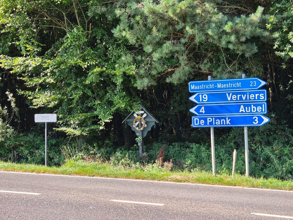
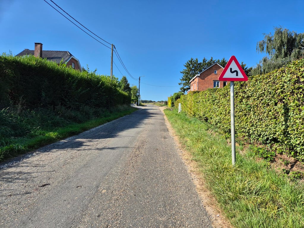
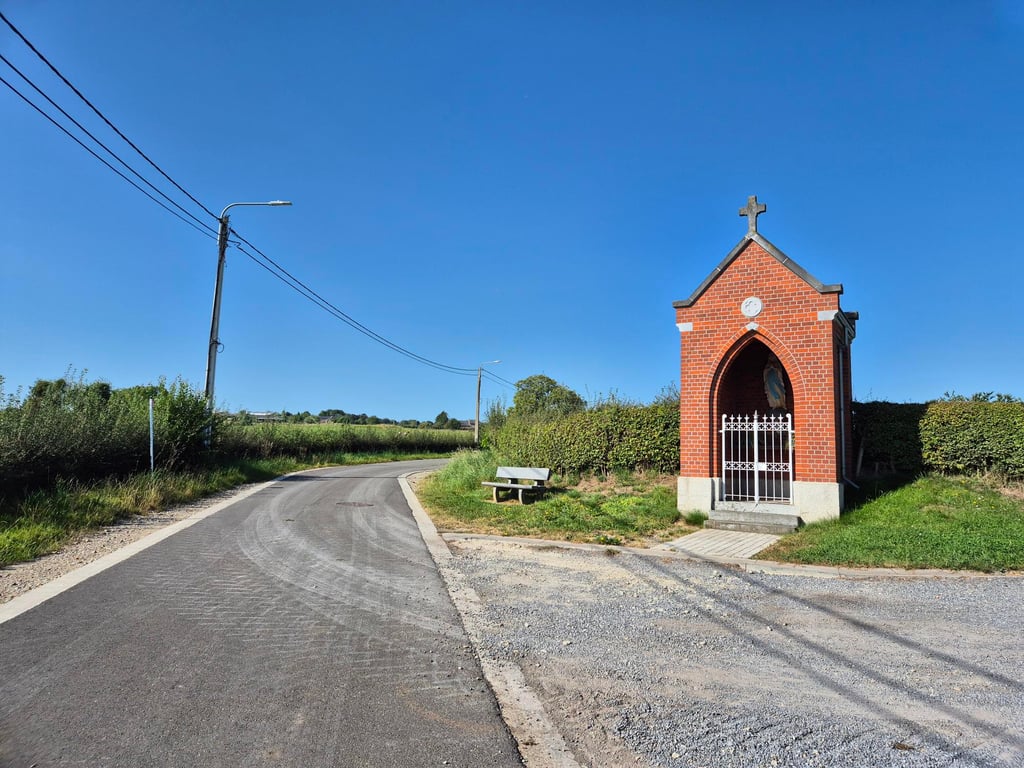
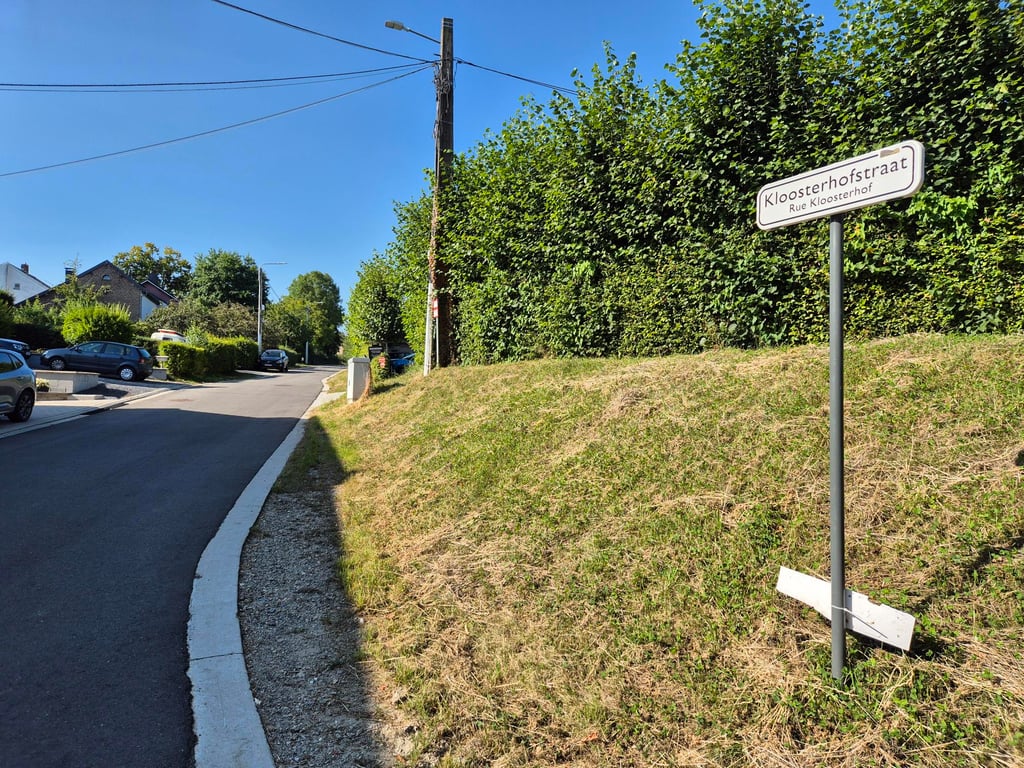
Kloosterhofstraat is a climb in the region Voer-Region. It is 2 km long and bridges 82 m of vertical ascent with an average gradient of 4%, resulting in a difficulty score of 35. The top of the ascent is located at 263 m above sea level. Climbfinder users shared 8 reviews of this climb and uploaded 9 photos.
Road name: Kloosterhofstraat
3.0 by Maikel1989This is an automatic translation, the original language is: Dutch.Nothing special compared to nearby climbs but decent tarmac and little traffic. Not too difficult.... read more

Welcome! Please activate your account if you would like to share something. Look for the verification email in your inbox.
If you want to upload your photos, you need to create an account. It only takes 1 minute and it's completely free.
Nothing special compared to nearby climbs but decent tarmac and little traffic. Not too difficult.
Niet speciaal in vergelijking met klimmen in de buurt maar degelijk asfalt en weinig verkeer. Niet te lastig.
Climb from Teuven to the N-648. Is an excellent runner with views of meadows on both sides of the road.
Klim vanuit Teuven naar de N-648. Is een prima loper met aan beide zijden van de weg zicht op de weilanden.
A good climb through an agricultural area with good tarmac and practically no traffic. The descent via this road is also highly recommended.
Gut laufender Anstieg durch eine landwirtschaftlich geprägte Gegend mit gutem Aspahlt und praktisch keinem Verkehr. Der Abstieg über diese Straße ist im Übrigen sehr empfehlenswert.
For Limburg, this is a somewhat longer climb. The climb is fairly even, so you can find a good rhythm and pedal up to the top. It is quite open, I can imagine that the wind can bother you on this road. Overall, not particularly beautiful or spectacular.
Voor Limburgse begrippen wel een wat langere klim. Het loopt redelijk gelijkmatig op waardoor je een goed ritme kunt vinden en doortrappen tot boven. Het is best wel open, ik kan me voorstellen dat je ook last van de wind kunt krijgen op deze weg. Over het algemeen niet bijzonder mooi of spectaculair.
Very quiet climb that is not very steep. Because there are slight curves and you can see far, it is a nice long ascent. Because it is an open landscape you can suffer from the wind. If you come from Sinnich you get 200 extra steep meters.
Zeer rustige klim die nergens heel steil is. Doordat er lichte bochten in zitten en je ver kunt kijken is het een leuke lange opgang. Doordat het een open landschap is kan je best last hebben van de wind. Als je van Sinnich komt pak je nog 200 extra steile meters mee.
Nice runner where the road also swings a bit. The percentages are not high but because of the length you will feel it if you are enthusiastic to storm upwards. At the end, the road is a bit steeper. Here and there are beautiful views, to both sides.
Mooie loper waarbij de weg ook nog wat slingert. De percentages zijn niet hoog maar vanwege de lengte ga je deze wel voelen als je enthousiast naar boven wilt stormen. Op het eind loopt de weg nog een stukje steiler omhoog. Her en der zijn er fraaie uitzichten, naar beide kanten toe.
You don't do this one because it's beautiful or challenging. It's just a good road to cycle from Sinnich to Aubel or De Plank.
Deze doe je niet omdat die mooi of uitdagend is. Het is gewoon een goede weg om vanuit Sinnich richting Aubel of De Plank te fietsen.
Climb can be made a little longer by coming from Beusdael the Kasteelstraat take as foot of the climb the "river / stream" Gulp. Then turn right "Sinnich" and then left "Kloosterhofstraat".
Very even climb with beautiful views.
Described in the COTACOL Encyclopedia as "slope of Zinnick".
Klim kan iets langer gemaakt worden door komende van Beusdael de Kasteelstraat te nemen met als voet van de klim de "rivier / beek" Gulp. Hierna rechtssaf te slaan "Sinnich" en dan linksaf "Kloosterhofstraat".
Heel gelijkmatige klim met mooie uitzichten.
In de COTACOL-Encyclopedie beschreven als "Helling van Zinnick".
| 7 km/h | 00:17:28 |
| 11 km/h | 00:11:06 |
| 15 km/h | 00:08:09 |
| 19 km/h | 00:06:26 |
This page is better in the app