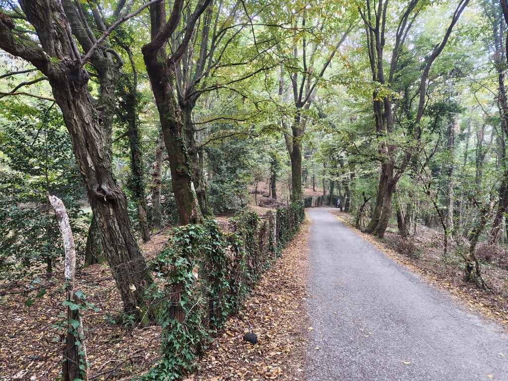
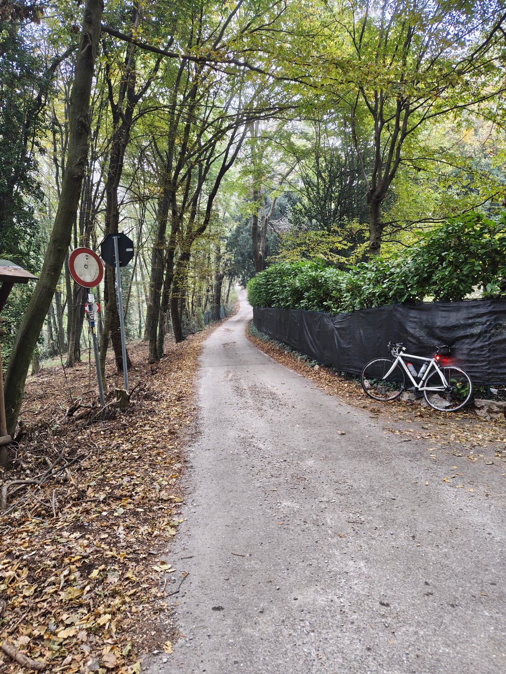
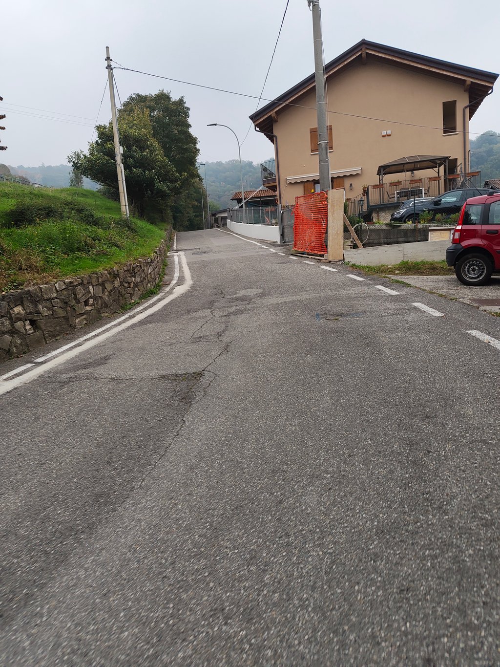
The climb starts calmly, nothing wrong, you might think, if you don't know the altitude profile. But then, after a little over a kilometre, when you turn left and the road turns back, the real work starts. The gradient here goes over the 15%. From here, it's 600 metres of very painful climbing. In the burning Italian sun, you zigzag up between the houses. No shade, but fortunately a quiet, quite wide and good road. Your legs start to burn, you wonder why you started this climb, but luckily, after 2 km, the road flattens out a bit. The good news: you have had the hardest part. A moment to recuperate, and then the road gets steeper one more time. You get between the trees, you get a bit more shade, but the road also gets a bit narrower and the road surface a bit worse. But after the almost 25% of the first steep stretch, this feels a bit lighter, although the gradients still don't lie. At the top, turn right and you have reached the top. A short stretch of flat land (Climbfinder adds this to the climb, so the average gradient is a bit distorted, because it is actually 600 metres of almost flat land) and then you can descend again. Be careful, there are some holes in the road here, which are not always very visible. Are you on a gravel bike? Instead of turning right, you can also climb a bit on an unpaved road.
De klim begint kalm, niks aan de hand zou je denken als je het hoogteprofiel niet kent. Maar dan, als je na iets meer dan een kilometer linksaf slaat en de weg terugdraait, dan begint het echte werk. Het stijgingspercentage gaat hier over de 15% heen. Hier vandaan is het 600 meter heel veel pijn lijden. In de brandende Italiaanse zon zigzag je tussen de huizen door omhoog. Geen schaduw, maar gelukkig wel een rustige, behoorlijk brede en goede weg. Je benen beginnen te branden, je vraagt je af waarom je aan deze klim bent begonnen, maar gelukkig, na 2 km vlakt de weg wat af. Het goede nieuws: je hebt het zwaarste gehad. Even een moment om te recupereren, en dan wordt de weg nog één keer steiler. Je komt tussen de bomen, je krijgt iets meer schaduw, maar de weg wordt ook wat smaller en het wegdek wat slechter. Maar na de bijna 25% van het eerste steile stuk, voelt dit toch een stukje lichter aan, hoewel de stijgingspercentages er nog steeds niet om liegen. Bovenaan sla je rechtsaf, je hebt de top bereikt. Nog even een stukje vlak (Climbfinder rekent dit nog bij de klim, daardoor is het gemiddelde stijgingspercentage wel wat vertekend, want het is eigenlijk 600 meter vrijwel vlak!) en dan kun je weer afdalen. Voorzichtig, er zitten hier wat gaten in de weg, die niet altijd even goed zichtbaar zijn. Ben je met de gravelbike? In plaats van rechtsaf te slaan, kun je ook nog even een stukje onverhard doorklimmen.