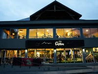
Tips nearby


Côte du Matets is a climb in the region Hautes-Pyrénées. It is 2.9 km long and bridges 236 m of vertical ascent with an average gradient of 8.2%, resulting in a difficulty score of 214. The top of the ascent is located at 790 m above sea level. Climbfinder users shared 1 review/story of this climb and uploaded 4 photos.
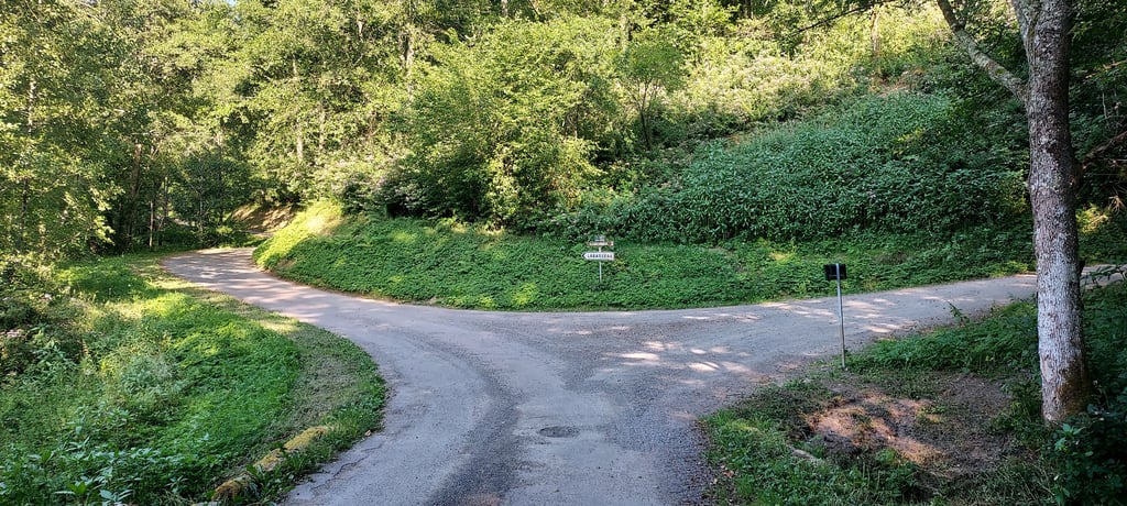
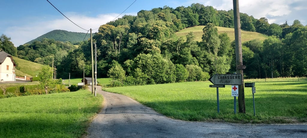
Road names: Chemin Matets & Chemin de Labassère-Débat
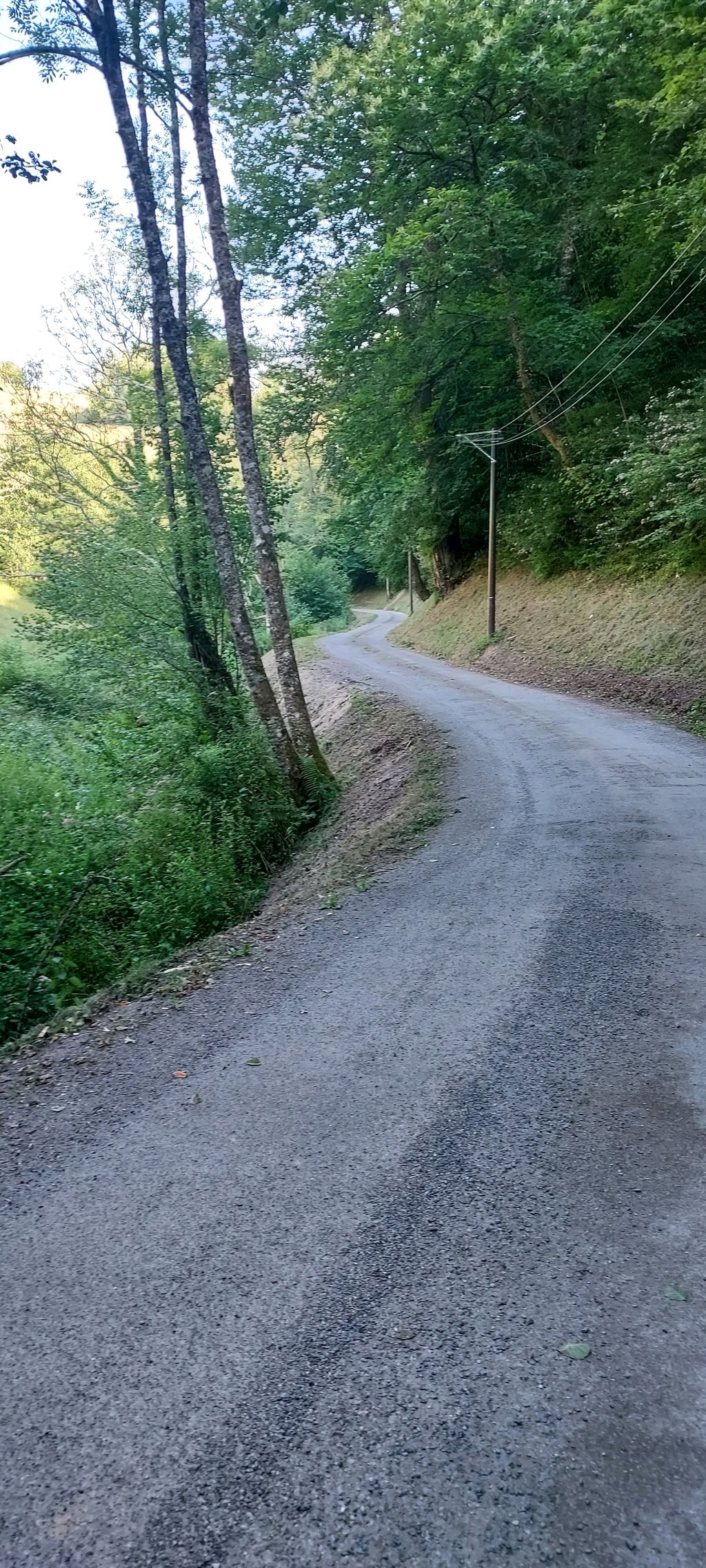
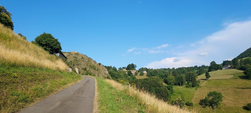
2.0 by HiFolkThis is an automatic translation, the original language is: French.Leave the D18 and turn left onto the Chemin Matets. The climb is gentle at first, in the shade, and there’s a little stream running alongside the road! It’s quite idyllic… then the road climbs steeply and the rest of the route is in the sun, with sections at gradients of over 10 per cent. Gravel and drainage channels make progress a little difficult. You can head to Labassère once you reach the top.... read more
Welcome! Please activate your account if you would like to share something. Look for the verification email in your inbox.
If you want to upload your photos, you need to create an account. It only takes 1 minute and it's completely free.
Leave the D18 and turn left onto the Chemin Matets. The climb is gentle at first, in the shade, and there’s a little stream running alongside the road! It’s quite idyllic… then the road climbs steeply and the rest of the route is in the sun, with sections at gradients of over 10 per cent. Gravel and drainage channels make progress a little difficult. You can head to Labassère once you reach the top.
On laisse la D18 pour prendre à gauche le chemin Matets. La montée est douce au départ, à l'ombre et un petit ruisseau court au bord de la route ! Bucolique... puis la route s'élève franchement et la suite se fait au soleil avec des passages à plus de 10%. Des gravillons et des rigoles d'évacuation gênent un peu la progression. Possibilité de rejoindre Labassère une fois en haut .
| 7 km/h | 00:24:45 |
| 11 km/h | 00:15:45 |
| 15 km/h | 00:11:33 |
| 19 km/h | 00:09:07 |
This page is better in the app