Tips nearby


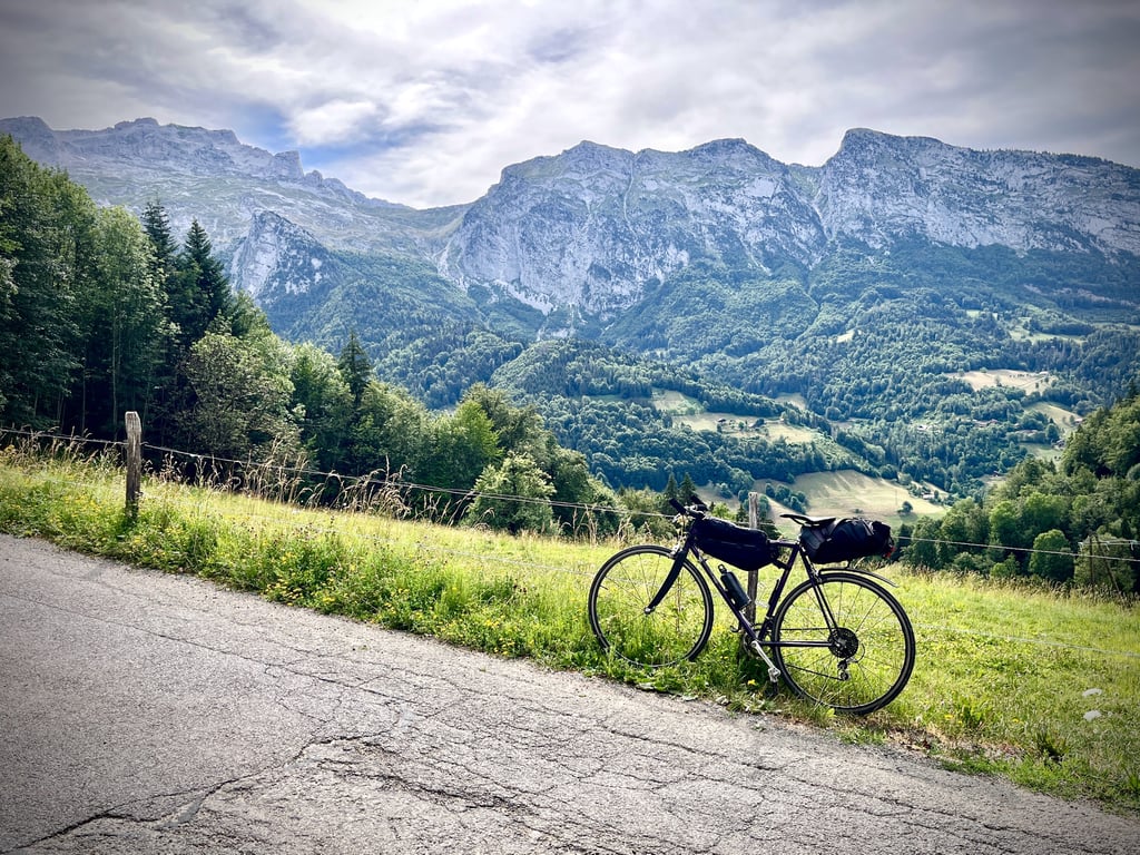
| Beautiful scenery |
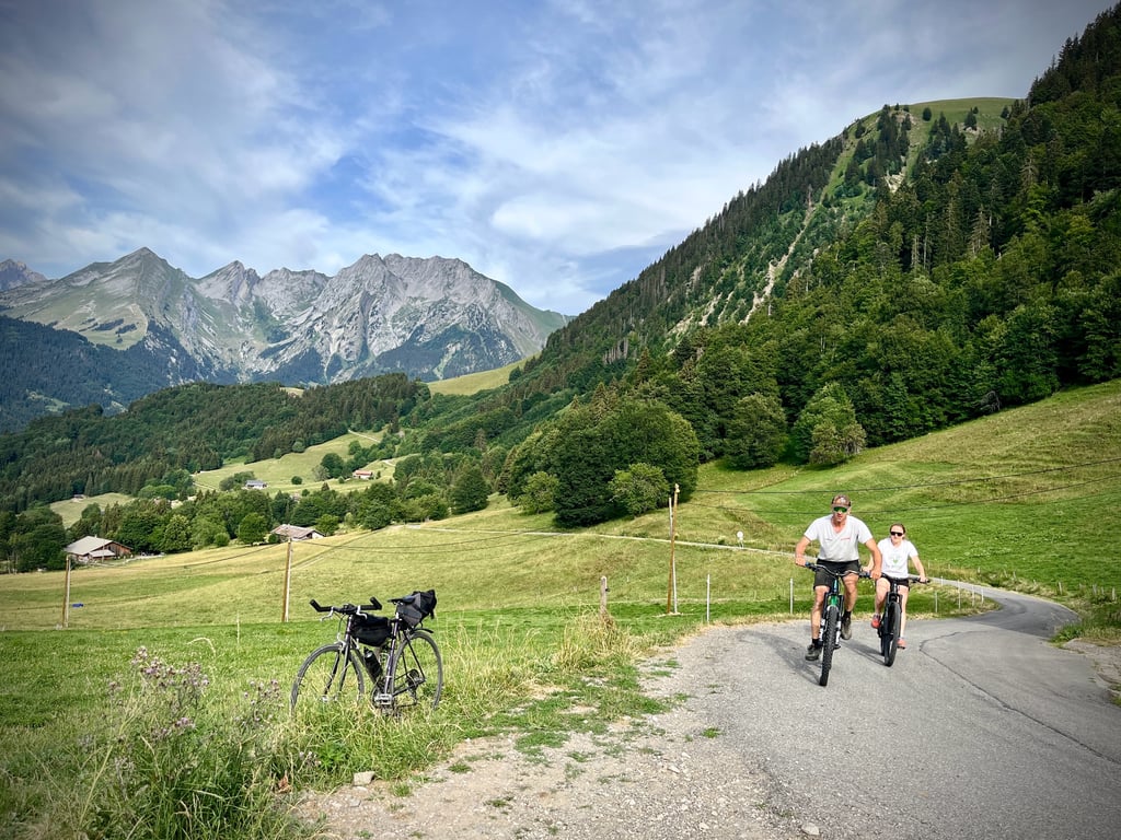
| Hidden gem |
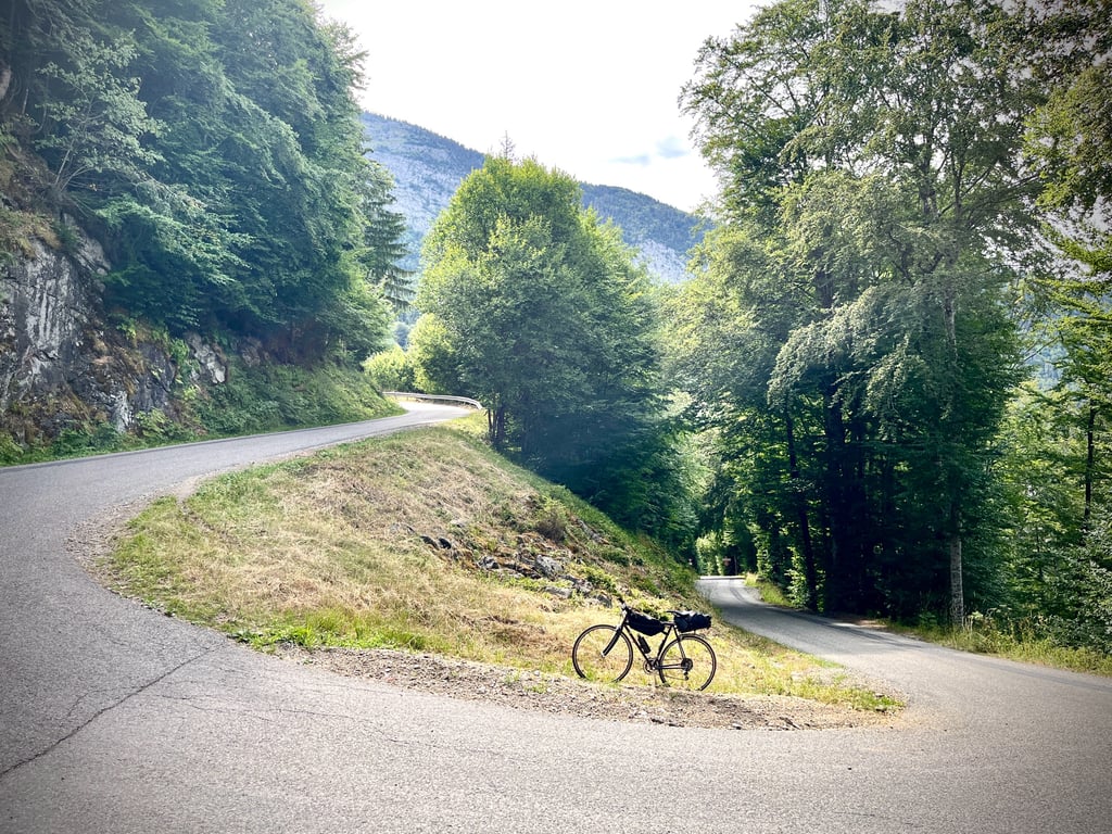
| 1 hairpin turn |
| #56 toughest climb of Haute Savoie |
| #76 most elevation gain of Haute Savoie |
| #90 longest climb of Annecy |
| #39 average steepest climb of Haute Savoie |
Col de Plan Bois from Les Clefs is a climb in the region Annecy. It is 6.1 km long and bridges 593 m of vertical ascent with an average gradient of 9.7%, resulting in a difficulty score of 608. The top of the ascent is located at 1294 m above sea level. Climbfinder users shared 3 reviews of this climb and uploaded 14 photos.
Road name: Route de Plan Bois
4.0 by sergenavetatThis is an automatic translation, the original language is: French.Away from the main traffic, the Planbois pass, accessible by 3 sides, offers short but sporty climbs. This version is the most direct From Thônes, take the D12 towards Serraval, Saint Ferréol then after 3 kms turn left towards Col de Planbois, There are then 6.5 kms left and not the least, the slope is steep from the start with 2 kms at more than 11% of average, the road is in good condition and if you are not the head in the handlebars, take advantage of it to look at the landscape . Fr... read more

Welcome! Please activate your account if you would like to share something. Look for the verification email in your inbox.
If you want to upload your photos, you need to create an account. It only takes 1 minute and it's completely free.
 Continue with Google
 Continue with Facebook
 Continue with Apple
Sign up with email
Continue with Apple
Sign up with email
A pass perfectly described by Serge Navetat. There’s not much more to add. Though it may not look like much, this little pass is actually quite a tough one. With an average gradient of nearly 10 per cent, it’s a ‘proper’ pass that really takes it out of you with its irregular gradients and ‘sudden climbs’, as cyclists poetically put it. It seemed a bit longer to me than the profile suggests: 6.3 km on my GPS.
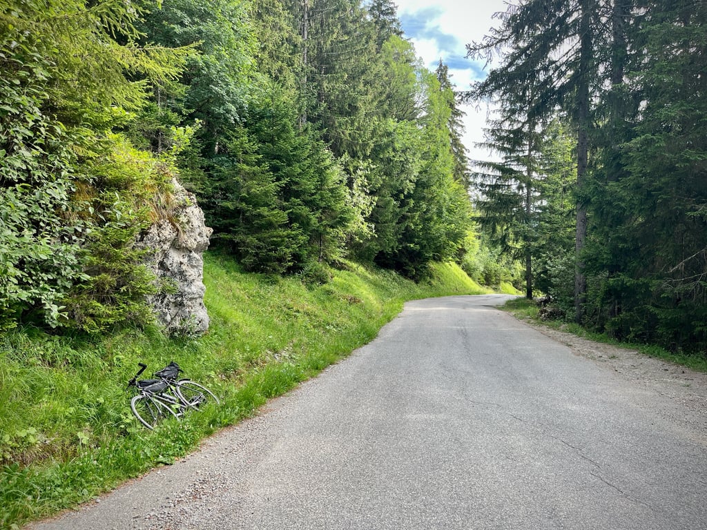
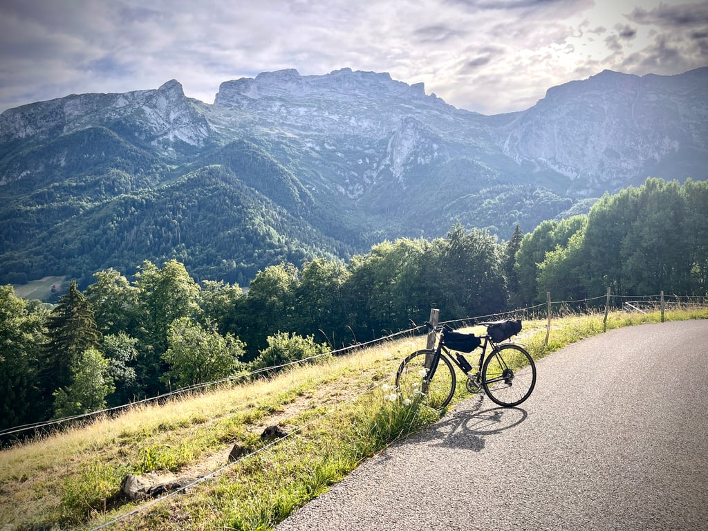
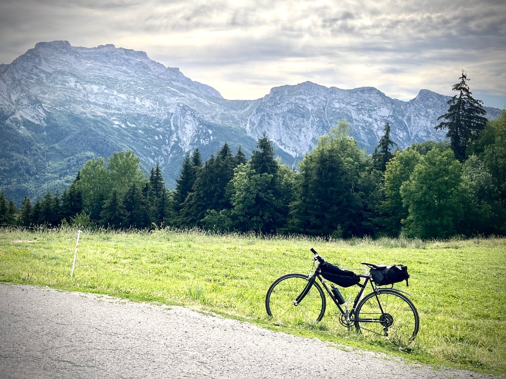
The road is in good condition. The scenery isn’t breathtaking, but it’s still a lovely climb.
Around Thônes, you’ll find all kinds of mountain passes: short and very steep, or long and gentle. A lovely playground.
Un col parfaitement décrit par Serge Navetat. Pas grand chose à ajouter.
Mine de rien, ce petit col est effectivement bien costaud. Avec une moyenne de près de 10%, c’est un « vrai » col qui use avec ses pourcentages irréguliers et ses « coups de cul » comme disent poétiquement les cyclistes.
Il m’a semblé un peu plus long que ce que le profil annonce : 6,3km sur mon gps.
La route est propre. Les paysages ne sont pas ébouriffants mais c’est tout de même une belle montée.
Autour de Thônes, tous les profils de cols existent : du court et très pentu, du long et doux. Un chouette terrain de jeu.
The particularity is that this pass is often climbed in second or even third position on your route... and what is manageable in itself becomes a hell of a lot of work, especially in the blazing afternoon sun. Otherwise, it's a superb pass without traffic, super quiet and very invigorating! Good luck ;-)
La particularité, c'est que souvent ce col se monte en deux voire troisième position sur votre parcours... et ce qui est maitrisable en soi devient un. enfer, surtout sous le soleil de plomb de l'après-midi. Sinon, c'est un superbe col sans circulation, super calme et très vivifiant! Bon courage ;-)
Away from the main traffic, the Planbois pass, accessible by 3 sides, offers short but sporty climbs.
This version is the most direct
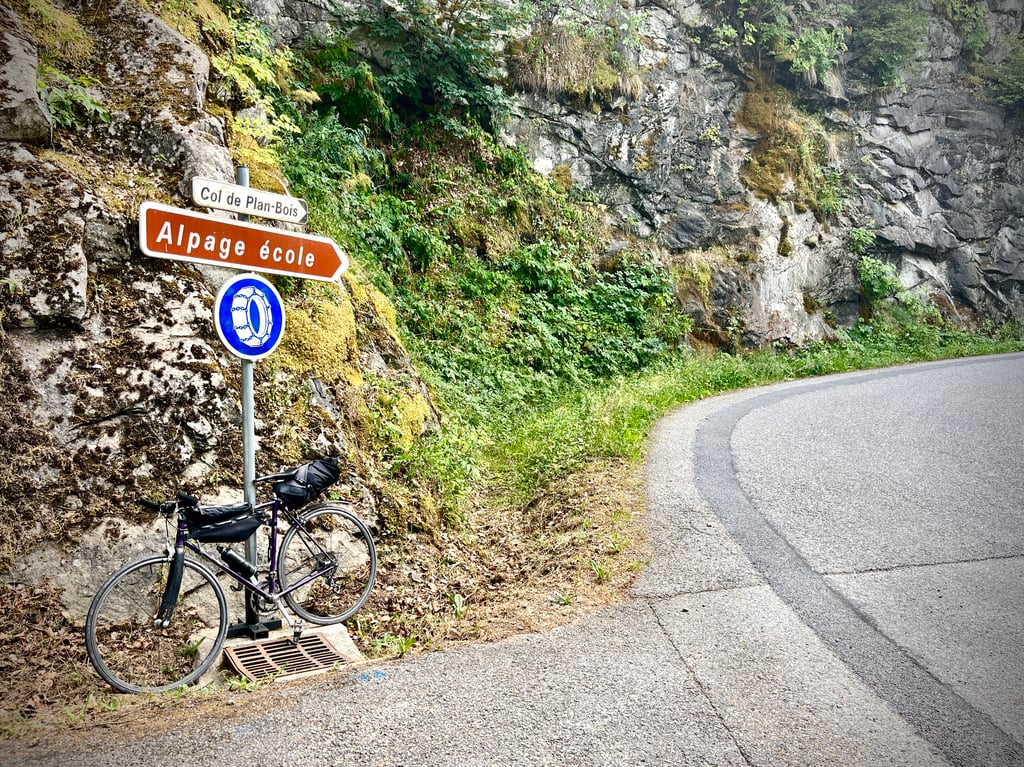
From Thônes, take the D12 towards Serraval, Saint Ferréol then after 3 kms turn left towards Col de Planbois,
There are then 6.5 kms left and not the least, the slope is steep from the start with 2 kms at more than 11% of average, the road is in good condition and if you are not the head in the handlebars, take advantage of it to look at the landscape .
From the small hamlet of Lachat you can breathe for 2km lighter "if we can say" at 7,5%
After crossing the hamlet of Veuillet, the slope will become steep again and irregular until the summit, alternating high percentages with brief lulls, %average 10 over 2 milestones.
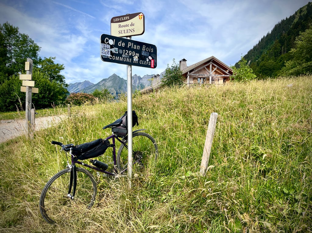
Arrival at the summit 1299M, it's not very high! but what a climb!
At the hostel you can have a drink but no way to eat even a piece of blueberry pie in the morning.
A l'écart de la grande circulation, le col de Planbois, accessible par 3 versants, propose des ascensions courtes mais sportives.
Cette version est la plus directe
Au départ de Thônes il faut prendre la D12 en direction de Serraval, Saint Ferréol puis après 3 kms tournez à gauche direction Col de Planbois,
Il reste alors 6,5 kms et pas des moindres, la pente est raide d'emblée avec 2 kms à plus de 11% de moyenne, la chaussée est en bon état et si vous n'êtes pas la tête dans le guidon, profitez en pour regarder le paysage .
A partir du petit hameau de Lachat vous pourrez soufflez pendant 2km plus léger "si l'on peu dire" à 7,5%
Après la traversée du hameau du Veuillet, la pente va devenir à nouveau forte est irrégulière jusqu'au sommet, alternance de pourcentages élevés avec de brèves accalmies, %moyen 10 sur 2 bornes.
Arrivée au sommet 1299M, c'est pas très haut ! mais quelle montée !
A l'auberge vous pourrez prendre une boisson mais pas possible de manger ne serait-ce qu'un morceau de tarte aux myrtilles le matin.
| 7 km/h | 00:52:15 |
| 11 km/h | 00:33:15 |
| 15 km/h | 00:24:23 |
| 19 km/h | 00:19:15 |
This page is better in the app