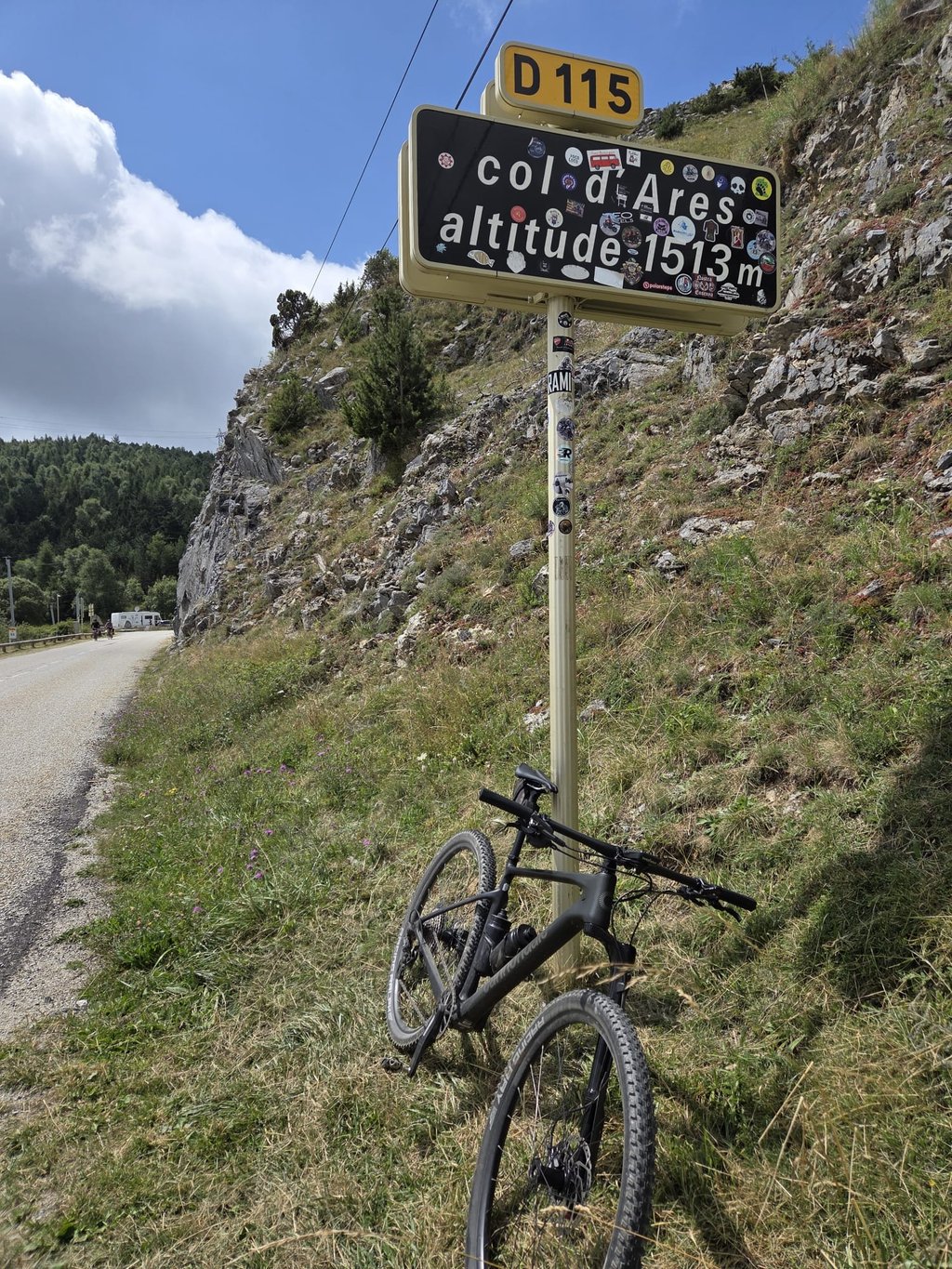
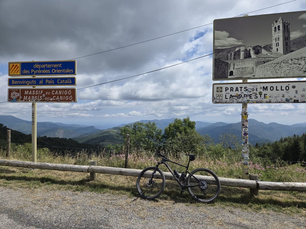
Col d'Ares from Le Tech via Lamanère is a climb in the region Pyrénées-Orientales. It is 25.5 km long and bridges 1116 m of vertical ascent with an average gradient of 4.4%, resulting in a difficulty score of 662. The top of the ascent is located at 1512 m above sea level. Climbfinder users shared 1 review/story of this climb and uploaded 4 photos.
Road names: D 44, Serrat d'El Souill (D 44) & D 115
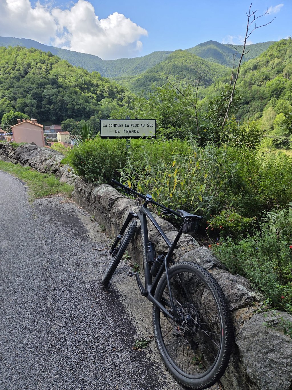
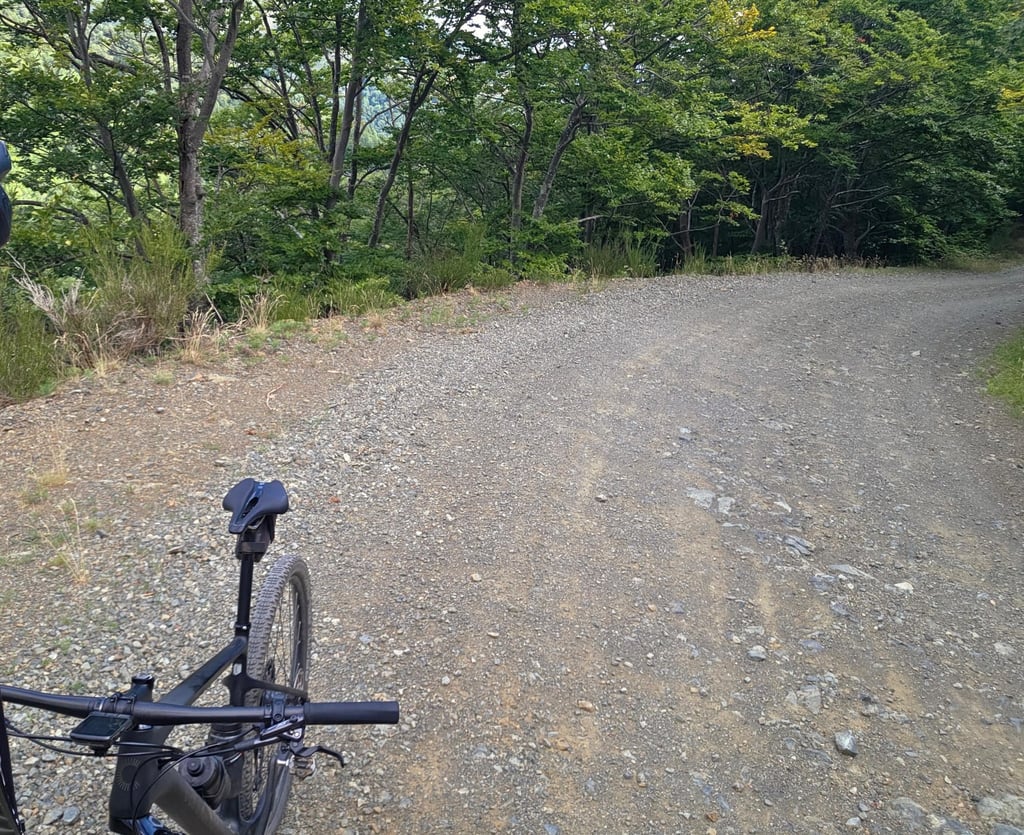
4.0 by sem_vhThis is an automatic translation, the original language is: Dutch.After leaving the secluded village of Lamanère (the southernmost village in France), a 10km climb awaits, alternating between gravel and a somewhat rougher track of stones and rocks. In summer, the trees do provide some shade. A solitary climb through the countryside, encountering just one walker almost at the top. ... read more
Welcome! Please activate your account if you would like to share something. Look for the verification email in your inbox.
If you want to upload your photos, you need to create an account. It only takes 1 minute and it's completely free.
After leaving the secluded village of Lamanère (the southernmost village in France), a 10km climb awaits, alternating between gravel and a somewhat rougher track of stones and rocks. In summer, the trees do provide some shade. A solitary climb through the countryside, encountering just one walker almost at the top.
na het verlaten van het van de wereld afgezonderde Lamanère (het meest zuidelijke dorpje van Frankrijk) wacht een 10km lange beklimming, afwisselend op gravel en een wat ruwere weg met steen en rots. In de zomer zorgen de bomen toch voor enige schaduw. Eenzame beklimming in de natuur, slechts 1 wandelaar tegenkomen bijna aan de top.
| 7 km/h | 03:38:47 |
| 11 km/h | 02:19:13 |
| 15 km/h | 01:42:06 |
| 19 km/h | 01:20:36 |
This page is better in the app