View on map
© MapLibre | OpenStreetMap contributors
1%
2%
4%
6%
8%
10%
12%
15%
20%

Ballon d'Alsace from Sewen via Route de la Fennematt

2.0
1 review/story | Elevation profile | 3 photos
In some places the road surface of this climb is bad, but it can be ridden with a road bike.
Tips nearby
Ballon d'Alsace from Sewen via Route de la Fennematt
transparant thumb
transparant thumb
transparant thumb
transparant thumb
transparant thumb
Your achievable time
Calculating based on your best performances...
Relaxed
Maximum
W/kg
W/kg
W/kg
Analyse your climbing performance
Detailed insight into your climbing performance & automatically check off climbs
Based on your best performances.
Your best attempt:
Number of attempts:
Elevation profile Ballon d'Alsace from Sewen via Route de la Fennematt

Statistics

Difficulty points 446
Length 12.6 km
Average gradient 5.4%
Steepest 100 metres 9.9%
Total ascent 680 m

Short recap

Hidden gem
4 hairpin turns
Bad road
#33 toughest climb of Grand Est
#27 most elevation gain of Grand Est
#44 longest climb of Grand Est
Feedback about this climb?
Show climbs nearby Export to GPS device

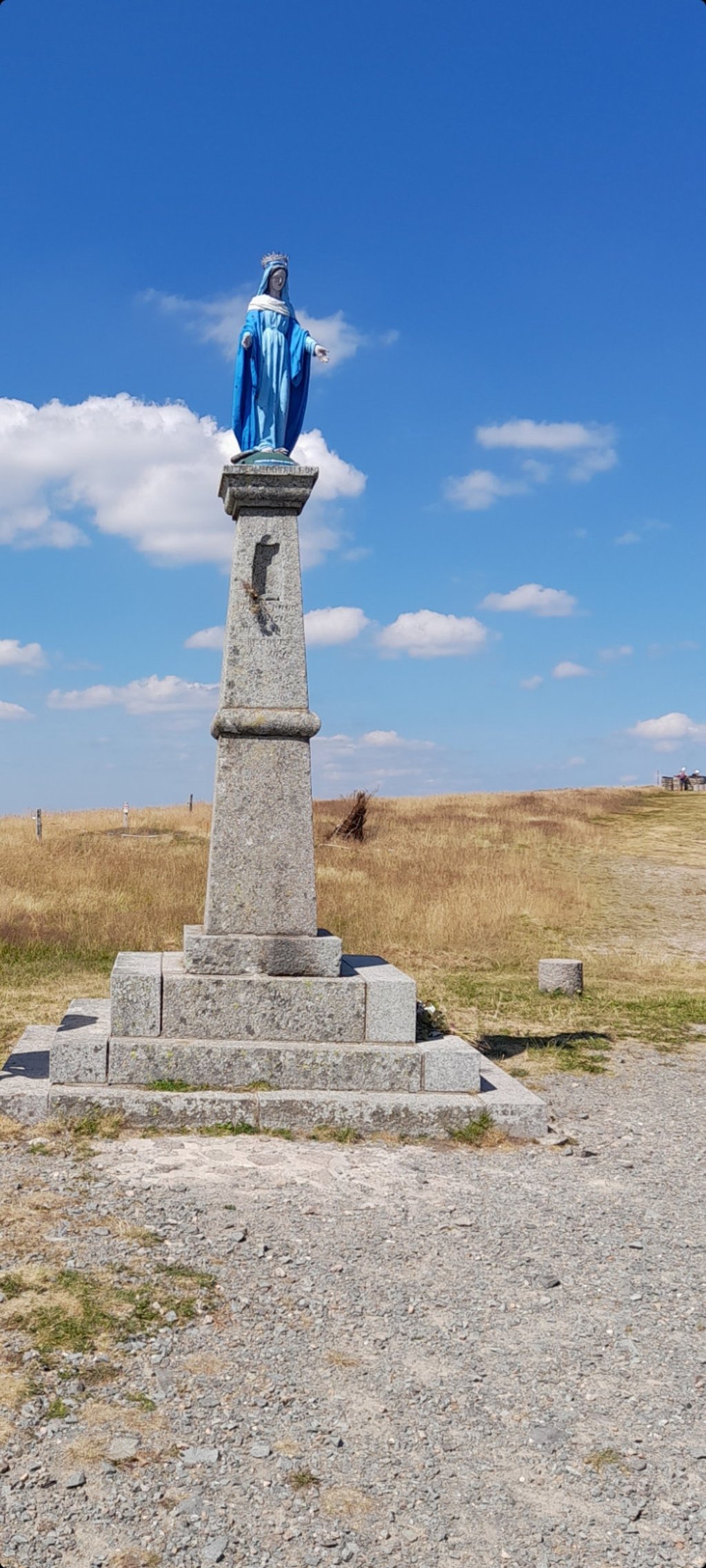
Ballon d'Alsace from Sewen via Route de la Fennematt is a climb in the region Upper Rhine. It is 12.6 km long and bridges 680 m of vertical ascent with an average gradient of 5.4%, resulting in a difficulty score of 446. The top of the ascent is located at 1173 m above sea level. Climbfinder users shared 1 review/story of this climb and uploaded 3 photos.

Road names: Rue de l'Elbach, Route de la Fennematt, Route du Grand Langenberg & D 465

2.0 by drheff
The road through the forest to Col du Hirtzelach is OK for the first few km but when it gets steeper and steeper, it get worse and worse. By the end near the top of the cols its a mixture of gravel and chunky pot holed old tarmac. The downhill afterwards is just as bad and if its autumn or otherwise poor weather - be careful. We had lots of mud and leaves, even when the road got better when you go up hill again towards the main road the surface is very poor. Once on the main road, its easy. Go, ... read more

Photos (3)

Ballon d'Alsace from Sewen via Route de la Fennematt
transparant thumb
transparant thumb
transparant thumb

Your uploads (max 4)

Welcome! Please activate your account if you would like to share something. Look for the verification email in your inbox.

If you want to upload your photos, you need to create an account. It only takes 1 minute and it's completely free.

  • Receive free climbfinder goodies for your reviews & photos.
  • Create a bucket list and check off conquered climbs.
  • Add missing climbs.
Continue with GoogleContinue with Google Continue with FacebookContinue with Facebook Continue with AppleContinue with Apple Sign up with email
By signing up you agree to our terms of service and confirm that you have read our privacy & content policy.

Reviews (1)

5.0
4.0
3.0
2.0
1.0
drheff
7 Mo 2.0

The road through the forest to Col du Hirtzelach is OK for the first few km but when it gets steeper and steeper, it get worse and worse. By the end near the top of the cols its a mixture of gravel and chunky pot holed old tarmac. The downhill afterwards is just as bad and if its autumn or otherwise poor weather - be careful. We had lots of mud and leaves, even when the road got better when you go up hill again towards the main road the surface is very poor. Once on the main road, its easy. Go, as long as you understand you are in for an adventure :)

Dashboard

Climbing times

7 km/h 01:48:13
11 km/h 01:08:52
15 km/h 00:50:30
19 km/h 00:39:52

Road surface condition

0% 0% 100%
Based on 1 vote
Share your knowledge. What was the road condition during your ascent?

Traffic

100% 0% 0%
Based on 1 vote
Your experience counts. How much traffic did you encounter during the climb?

Frequently Asked Questions

Ballon d'Alsace can be cycled from 4 sides. Ballon d’Alsace from Saint Maurice sur Moselle is the most popular side, but the summit can also be reached via Ballon d'Alsace from Sewen, Ballon d’Alsace from Giromagny & Ballon d'Alsace from Sewen via Route de la Fennematt.

You don't need special gearing for Ballon d'Alsace from Sewen via Route de la Fennematt. The slope isn't long or steep enough to require much shifting down. You can conquer this climb on power alone. However, a compact gearing system with a smallest front chainring of 34 and largest rear sprocket of 28 or 30 is always nice if you enjoy cycling uphill. This helps maintain a smooth cadence.

Ballon d'Alsace from Sewen via Route de la Fennematt is a serious climb and falls into the 2nd category. With a good basic fitness level, even without much cycling experience, you can complete this climb just fine. However, a bike with climbing gears is a must. Without experience or training, it will be really tough – but that’s part of the challenge!

Ballon d'Alsace from Sewen via Route de la Fennematt is 12.6 km long.

The average gradient of Ballon d'Alsace from Sewen via Route de la Fennematt is 5.4%.

Ballon d'Alsace from Sewen via Route de la Fennematt has a steepest segment with an average gradient of 9.9%.

The summit of Ballon d'Alsace from Sewen via Route de la Fennematt is at 1173 m.

At a slow pace of 7 km/h, it takes about 01:48:13 to climb Ballon d'Alsace from Sewen via Route de la Fennematt. At 11 km/h the time is 01:08:52, and at 15 km/h 00:50:30. For the fastest cyclists, 00:39:52 is an achievable time.

Ballon d'Alsace from Sewen via Route de la Fennematt is located in the region Upper Rhine in France.

This page is better in the app

Climbfinder app
Climbfinder
(Free)
Open