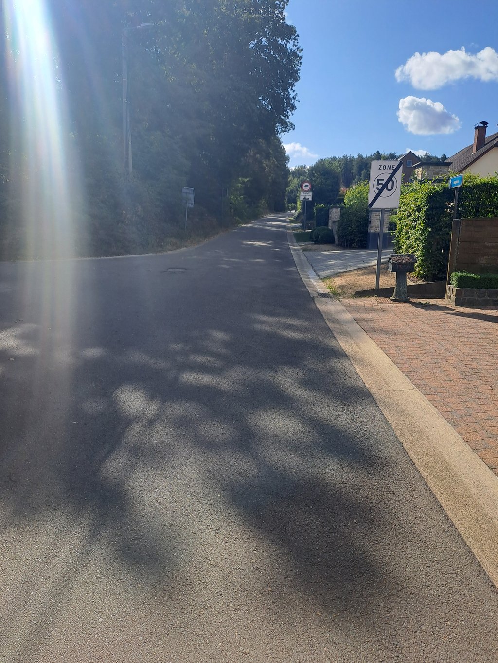
Voortberg from Voort is a climb in the region Hageland. It is 0.3 mi long and bridges 72 ft of vertical ascent with an average gradient of 4%, resulting in a difficulty score of 11. The top of the ascent is located at 121 ft above sea level. Climbfinder users shared 5 reviews of this climb and uploaded 2 photos.
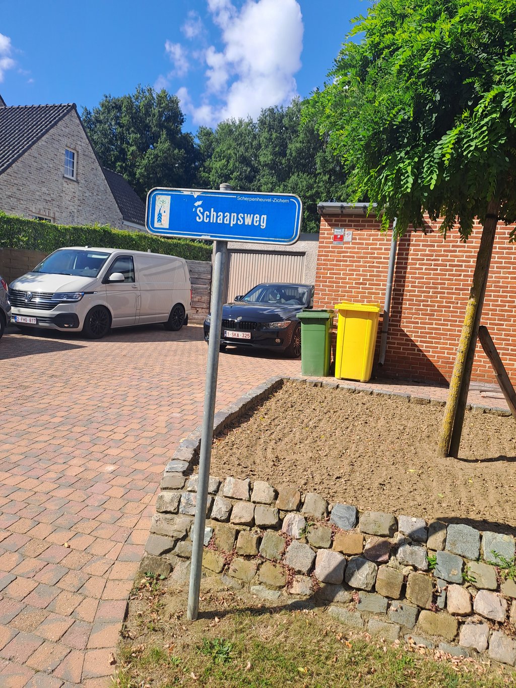
Road name: Bergstraat
3.0 by MattijsOpdeBeeckThis is an automatic translation, the original language is: Dutch.Nice warming-up towards Hageland from the Kempen. To do on the big slab but be careful. After the turn you have to hold on. .... read more
Welcome! Please activate your account if you would like to share something. Look for the verification email in your inbox.
If you want to upload your photos, you need to create an account. It only takes 1 minute and it's completely free.
Just before the turn it is equally steep, but beyond that a light runner. Quiet road that looks a little off at times.
Vlak voor de bocht is het even steil, maar daarbuiten een lichte loper. Rustige weg die er soms wat minder goed bijligt.
Going up along this side I personally like better than the other side. The first part is the steepest but maximum 6% and you can launch yourself. Once you turn right, it softens but you have to keep pushing to avoid stalling.
Langs deze kant omhoog vind ik persoonlijk leuker dan de andere kant. Het eerste deel is het meest steile maar maximaal 6% en je kan je lanceren. Eens rechtsaf zwakt het af maar moet je blijven duwen om niet stil te vallen.
Throughout the climb a fantastic tarmac road. This already helps you move forward a bit.
A very even climb. If you manage to find the right gear and cadence, you get to the top smoothly. After the right turn, it gets a bit easier. If you have surplus, you can change gears bigger here. Then it's a short sprint to the top, which you can easily see.
Tijdens de hele klim een fantastische asfaltweg. Dit helpt je al wat vooruit.
Een hele gelijkmatige klim. Als je het juiste verzet en cadans weet te vinden, kom je vlot boven. Na de bocht naar rechts wordt het wat makkelijker. Als je overschot hebt, kan je hier groter schakelen. Dan is het nog een klein sprintje naar de top, die je goed ziet liggen.
Nice warming-up towards Hageland from the Kempen. To do on the big slab but be careful. After the turn you have to hold on.
.
Leuke opwarmer richting Hageland vanuit de Kempen. Te doen op de grote plaat maar wel oppassen. Na de bocht moet je dan volhouden.
.
A nice warming-up when you're cycling from the flat Kempen to the Hageland. Don't shoot all your arrows before the right turn, because after the turn it goes on a bit too long. If you want to sprint against your friends here, it's best to lay your cards on the table only then. Good tarmac and little traffic, so always nice to take. Be careful in the descent for the sharp right-hand bend and the big road that soon looms up.
Leuk opwarmertje als je vanuit de vlakke Kempen naar het Hageland fietst. Verschiet niet al je pijlen voor de bocht naar rechts, want na de bocht loopt het daarvoor nog net wat te lang door. Als je tegen je vrienden hier wilt sprinten, leg je best dan pas je kaarten op tafel. Goed asfalt en weinig verkeer, dus altijd leuk om mee te nemen. Oppassen in de afdaling voor de scherpe rechtse bocht en de grote weg die snel opdoemt.
| 5 mph | 00:04:07 |
| 7 mph | 00:02:55 |
| 9 mph | 00:02:16 |
| 12 mph | 00:01:42 |
This page is better in the app