View on map
© MapLibre | OpenStreetMap contributors
1%
2%
4%
6%
8%
10%
12%
15%
20%

Voortberg from Testelt

2.0
3 reviews | Elevation profile | 3 photos
Tips nearby
Voortberg from Testelt
transparant thumb
transparant thumb
transparant thumb
transparant thumb
transparant thumb
Your achievable time
Calculating based on your best performances...
Relaxed
Maximum
W/kg
W/kg
W/kg
Analyze your climbing performance
Detailed insight into your climbing performance & automatically check off climbs
Based on your best performances.
Your best attempt:
Number of attempts:
Elevation profile Voortberg from Testelt

Statistics

Difficulty points 6
Length 0.5 mi
Average gradient 2.7%
Steepest segment 3.8%
Total ascent 69 ft
Feedback about this climb?
Show climbs nearby Export to GPS device

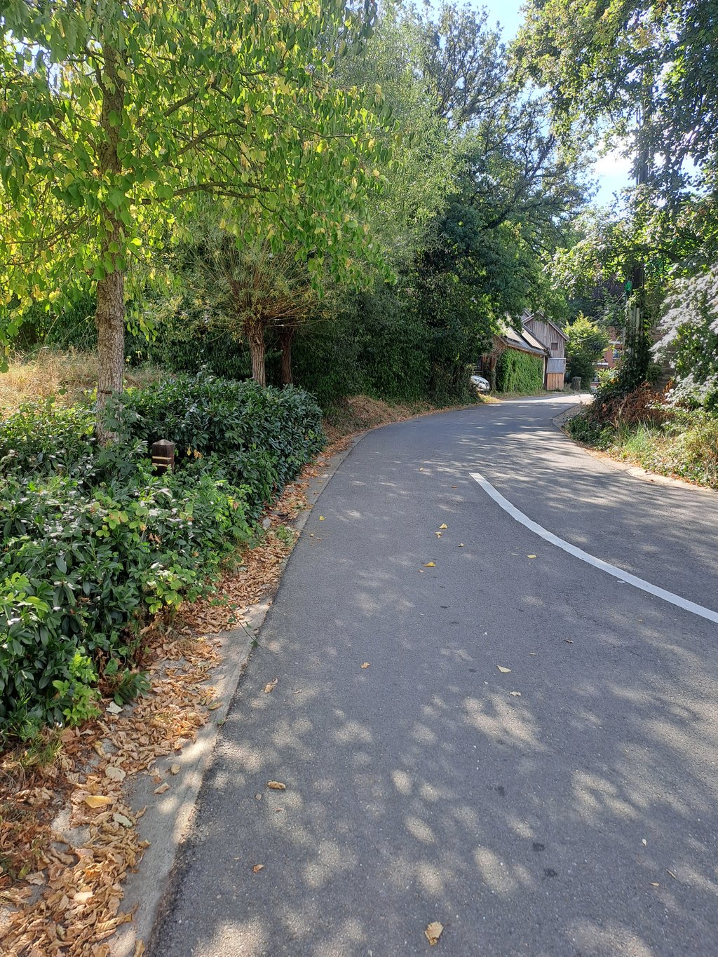
Voortberg from Testelt is a climb in the region Hageland. It is 0.5 mi long and bridges 69 ft of vertical ascent with an average gradient of 2.7%, resulting in a difficulty score of 6. The top of the ascent is located at 121 ft above sea level. Climbfinder users shared 3 reviews of this climb and uploaded 3 photos.

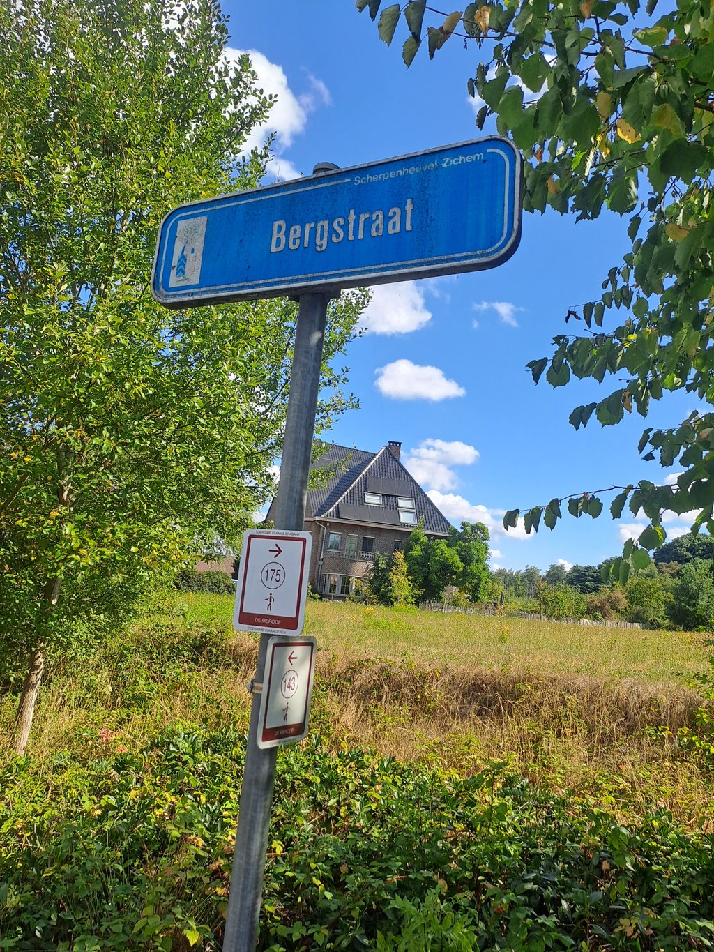
Road names: Pastoriestraat & Bergstraat

1.0 by Andre
This is an automatic translation, the original language is: Dutch.
Short little uphill with a bad narrow cycle path. You can't call it more than valsplat. Probably the least amount of climbing on climbfinder's fantastic site.... read more

Photos (3)

Voortberg from Testelt
transparant thumb
transparant thumb
transparant thumb

Your uploads (max 4)

Welcome! Please activate your account if you would like to share something. Look for the verification email in your inbox.

If you want to upload your photos, you need to create an account. It only takes 1 minute and it's completely free.

  • Receive free climbfinder goodies for your reviews & photos.
  • Create a bucket list and check off conquered climbs.
  • Add missing climbs.
Continue with GoogleContinue with Google Continue with FacebookContinue with Facebook Continue with AppleContinue with Apple Sign up with email
By signing up you agree to our terms of service and confirm that you have read our privacy & content policy.

Reviews (3)

5.0
4.0
3.0
2.0
1.0
Andre
9 Mo 1.0
This is an automatic translation, the original language is: Dutch. Show original

Short little uphill with a bad narrow cycle path. You can't call it more than valsplat. Probably the least amount of climbing on climbfinder's fantastic site.

Kort weinig voorstellend bergopje met een slecht smal fietspad. Meer dan valsplat kan je het niet noemen. Waarschijnlijk het minste klimmetje op de fantastische site van climbfinder.

Dashboard
Andre
9 Mo 3.0
This is an automatic translation, the original language is: Dutch. Show original

Perhaps the most fun little climb in Testelt. It starts with valsplat at the railway and a few hundred metres further sharp right where it rises a bit more. A little further on a sharp left and then it turns uphill for the last few hundred metres. Nowhere heavy but a nice slightly uphill climb.

Misschien wel het meest leuke klimmetje in Testelt. Het begint met valsplat aan de spoorweg en enkele honderden meters verder scherp rechtsaf waar het wat meer oploopt. Even verderop scherp linksaf en dan draait het de laatste honderden meters bergop. Nergens zwaar maar een leuk licht oplopend klimmetje.

Dashboard
JorneLambrechts
1 y 2.0
This is an automatic translation, the original language is: Dutch. Show original

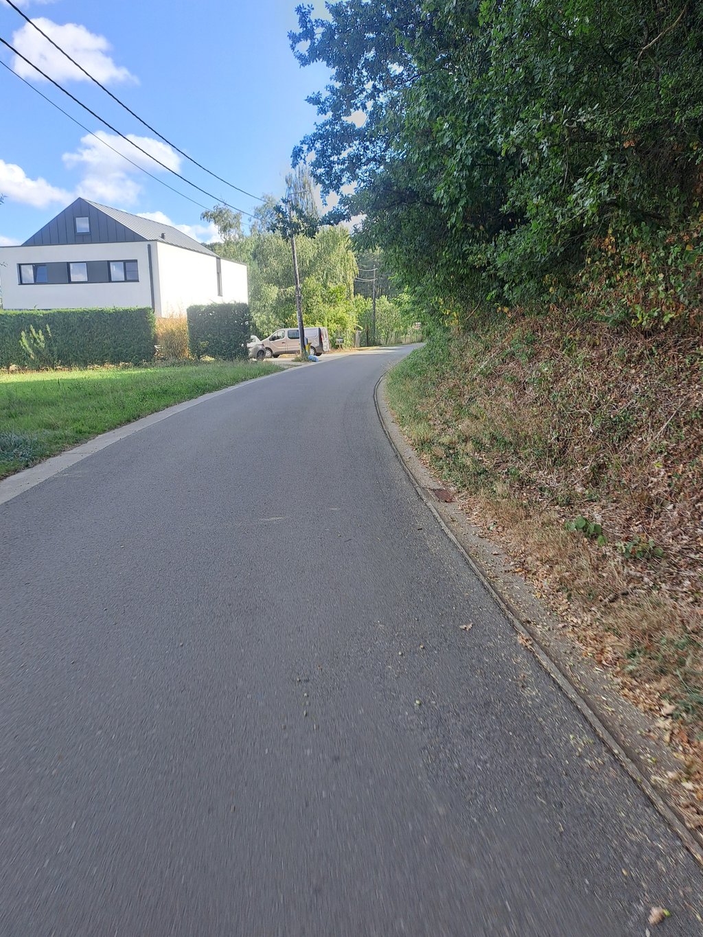
You start in front of the railway, cross it and stay on a slightly sloping strip in the centre of Testelt. Then you turn sharply right and a little further left and it slopes slightly further until you feel the descent. The descent has 1 left turn but you can make a lot of speed in this (is more fun than the climb itself).

Je start voor de spoorweg, rijdt deze over en blijft op een licht hellende strook in het centrum van Testelt. Dan draai je scherp rechts af en iets verder links en helt het nog lichtjes verder tot je de afdaling voelt. De afdaling heeft 1 bochtje naar links maar je kan hier wel veel snelheid in maken (is toffer dan beklimming zelf)

Dashboard

Climbing times

5 mph 00:05:55
7 mph 00:04:11
9 mph 00:03:16
12 mph 00:02:27

Road surface condition

100% 0% 0%
Based on 2 votes
Share your knowledge. What was the road condition during your ascent?

Traffic

100% 0% 0%
Based on 2 votes
Your experience counts. How much traffic did you encounter during the climb?

Frequently Asked Questions

Voortberg can be cycled from 2 sides. Voortberg from Voort is the most popular side, but the summit can also be reached via Voortberg from Testelt.

You don't need special gearing for Voortberg from Testelt. The slope isn't long or steep enough to require much shifting down. You can conquer this climb on power alone. However, a compact gearing system with a smallest front chainring of 34 and largest rear sprocket of 28 or 30 is always nice if you enjoy cycling uphill. This helps maintain a smooth cadence.

Voortberg from Testelt is not tough enough to be assigned a mountain category. This means that even untrained cyclists can reach the top without any problems on this climb.

Voortberg from Testelt is 0.5 mi long.

The average gradient of Voortberg from Testelt is 2.7%.

Voortberg from Testelt has a steepest segment with an average gradient of 3.8%.

The summit of Voortberg from Testelt is at 121 ft.

At a slow pace of 5 mph, it takes about 00:05:55 to climb Voortberg from Testelt. At 7 mph the time is 00:04:11, and at 9 mph 00:03:16. For the fastest cyclists, 00:02:27 is an achievable time.

Voortberg from Testelt is located in the region Flemish Brabant in Belgium.

This page is better in the app

Climbfinder app
Climbfinder
(Free)
Open