View on map
© MapLibre | OpenStreetMap contributors
1%
2%
4%
6%
8%
10%
12%
15%
20%

Troostembergbos from Sint-Joris-Winge

2.0
2 reviews | Elevation profile | 0 photos
Tips nearby
Your achievable time
Calculating based on your best performances...
Relaxed
Maximum
W/kg
W/kg
W/kg
Analyze your climbing performance
Detailed insight into your climbing performance & automatically check off climbs
Based on your best performances.
Your best attempt:
Number of attempts:
Elevation profile Troostembergbos from Sint-Joris-Winge

Statistics

Difficulty points 26
Length 0.5 mi
Average gradient 4.9%
Steepest segment 8.3%
Total ascent 138 ft
Feedback about this climb?
Show climbs nearby Export to GPS device

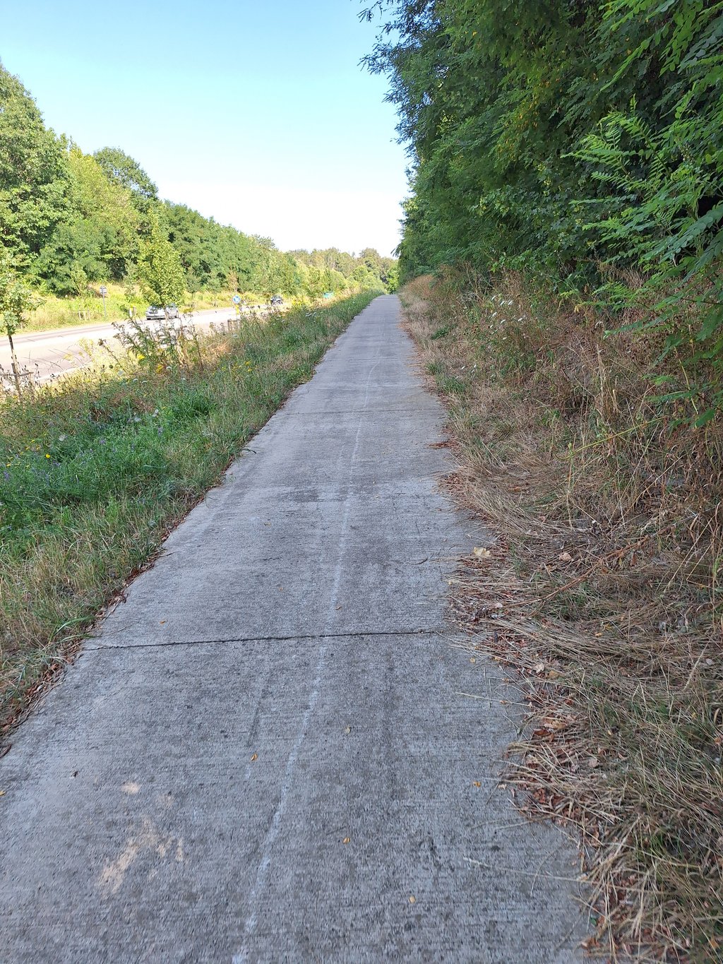
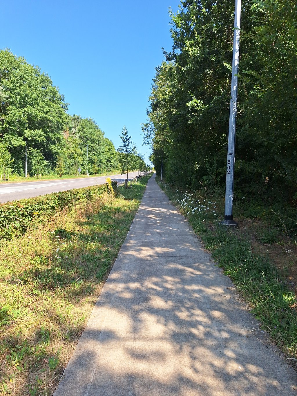
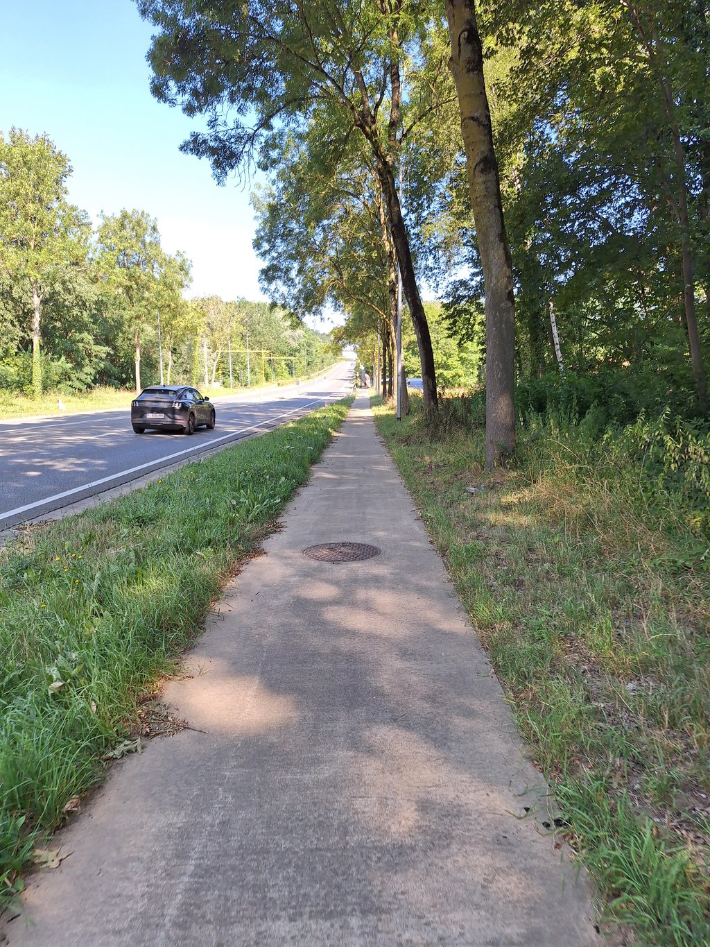
Troostembergbos from Sint-Joris-Winge is a climb in the region Hageland. It is 0.5 mi long and bridges 138 ft of vertical ascent with an average gradient of 4.9%, resulting in a difficulty score of 26. The top of the ascent is located at 256 ft above sea level. Climbfinder users shared 2 reviews of this climb and uploaded 0 photos.

Road name: Aarschotsesteenweg

2.0 by Maikel1989
This is an automatic translation, the original language is: Dutch.
Good cycle path, but it is still along a very busy road.... read more

Photos (0)

transparant thumb
transparant thumb
transparant thumb
transparant thumb
transparant thumb
transparant thumb

Your uploads (max 4)

Welcome! Please activate your account if you would like to share something. Look for the verification email in your inbox.

If you want to upload your photos, you need to create an account. It only takes 1 minute and it's completely free.

  • Receive free climbfinder goodies for your reviews & photos.
  • Create a bucket list and check off conquered climbs.
  • Add missing climbs.
Continue with GoogleContinue with Google Continue with FacebookContinue with Facebook Continue with AppleContinue with Apple Sign up with email
By signing up you agree to our terms of service and confirm that you have read our privacy & content policy.

Reviews (2)

5.0
4.0
3.0
2.0
1.0
Maikel1989
8 Mo 2.0
This is an automatic translation, the original language is: Dutch. Show original

Good cycle path, but it is still along a very busy road.

Goed fietspad, maar het ligt toch langs een heel drukke weg.

Dashboard
Andre
4 y 2.0
This is an automatic translation, the original language is: Dutch. Show original

You can hardly call it a climb despite the fact that it goes up quite a bit with more than 8% in some places because it is always straight ahead with a very wide track next to you. The climb you can and should do on the good and nicely separated bike path along a busy road but on the bike path that is well separated by a wide grass verge hardly any cyclists. Of course you come from the busy roundabout at the golden crossroads of Tielt-Winge where you take the N223 towards Aarschot.
Once at the top you can turn right after a few hundred meters to the Roeselberg and you have less than 2 km of altitude gain.

Een klim kan je het moeilijk noemen ondanks dat het best aardig bergop loopt met meer dan 8% op sommige plaatsen want het is altijd rechtdoor met naast jou een heel brede baan. De beklimming kan en moet je op het goede en mooi afgescheiden fietspad doen langs een weliswaar drukke weg maar op het fietspad dat door een brede grasberm goed afgescheiden ligt rijden amper fietsers. Je komt natuurlijk van het drukke rondpunt aan het gouden kruispunt van Tielt-Winge waar je de N223 richting Aarschot neemt.
Eens boven kan je bergaf na enkele honderden meters rechtsaf de Roeselberg nemen en heb je op minder dan 2 km best veel hoogtemeters.

Dashboard

Climbing times

5 mph 00:06:28
7 mph 00:04:35
9 mph 00:03:34
12 mph 00:02:41

Road surface condition

100% 0% 0%
Based on 1 vote
Share your knowledge. What was the road condition during your ascent?

Traffic

100% 0% 0%
Based on 1 vote
Your experience counts. How much traffic did you encounter during the climb?

Frequently Asked Questions

Troostembergbos can be cycled from 5 sides. Roeselberg from Houwaart is the most popular side, but the summit can also be reached via Oude Aarschotsebaan from Sint-Joris-Winge, Troostembergbos from Luttelkolen, Troostembergbos from Sint-Joris-Winge & Bensberg from Vareveld.

You don't need special gearing for Troostembergbos from Sint-Joris-Winge. The slope isn't long or steep enough to require much shifting down. You can conquer this climb on power alone. However, a compact gearing system with a smallest front chainring of 34 and largest rear sprocket of 28 or 30 is always nice if you enjoy cycling uphill. This helps maintain a smooth cadence.

Troostembergbos from Sint-Joris-Winge falls into the 5th category. With good fitness, you can ride it up with speed and power. If you have less training, shift down and climb smoothly.

Troostembergbos from Sint-Joris-Winge is 0.5 mi long.

The average gradient of Troostembergbos from Sint-Joris-Winge is 4.9%.

Troostembergbos from Sint-Joris-Winge has a steepest segment with an average gradient of 8.3%.

The summit of Troostembergbos from Sint-Joris-Winge is at 256 ft.

At a slow pace of 5 mph, it takes about 00:06:28 to climb Troostembergbos from Sint-Joris-Winge. At 7 mph the time is 00:04:35, and at 9 mph 00:03:34. For the fastest cyclists, 00:02:41 is an achievable time.

Troostembergbos from Sint-Joris-Winge is located in the region Flemish Brabant in Belgium.

This page is better in the app

Climbfinder app
Climbfinder
(Free)
Open