| Hidden gem |
| Bad road |
| #58 toughest climb of Brussels-Capital Region |
| #34 most elevation gain of Brussels-Capital Region |
| #30 longest climb of Brussels-Capital Region |
| #88 average steepest climb of Brussels-Capital Region |
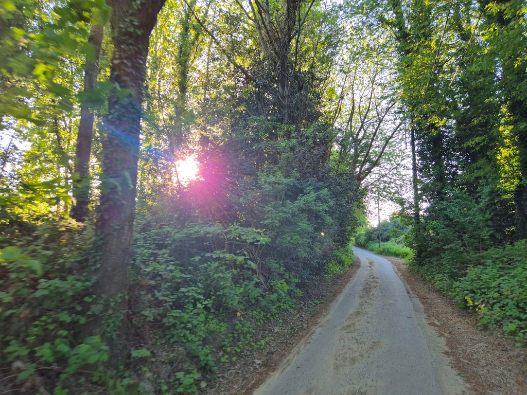
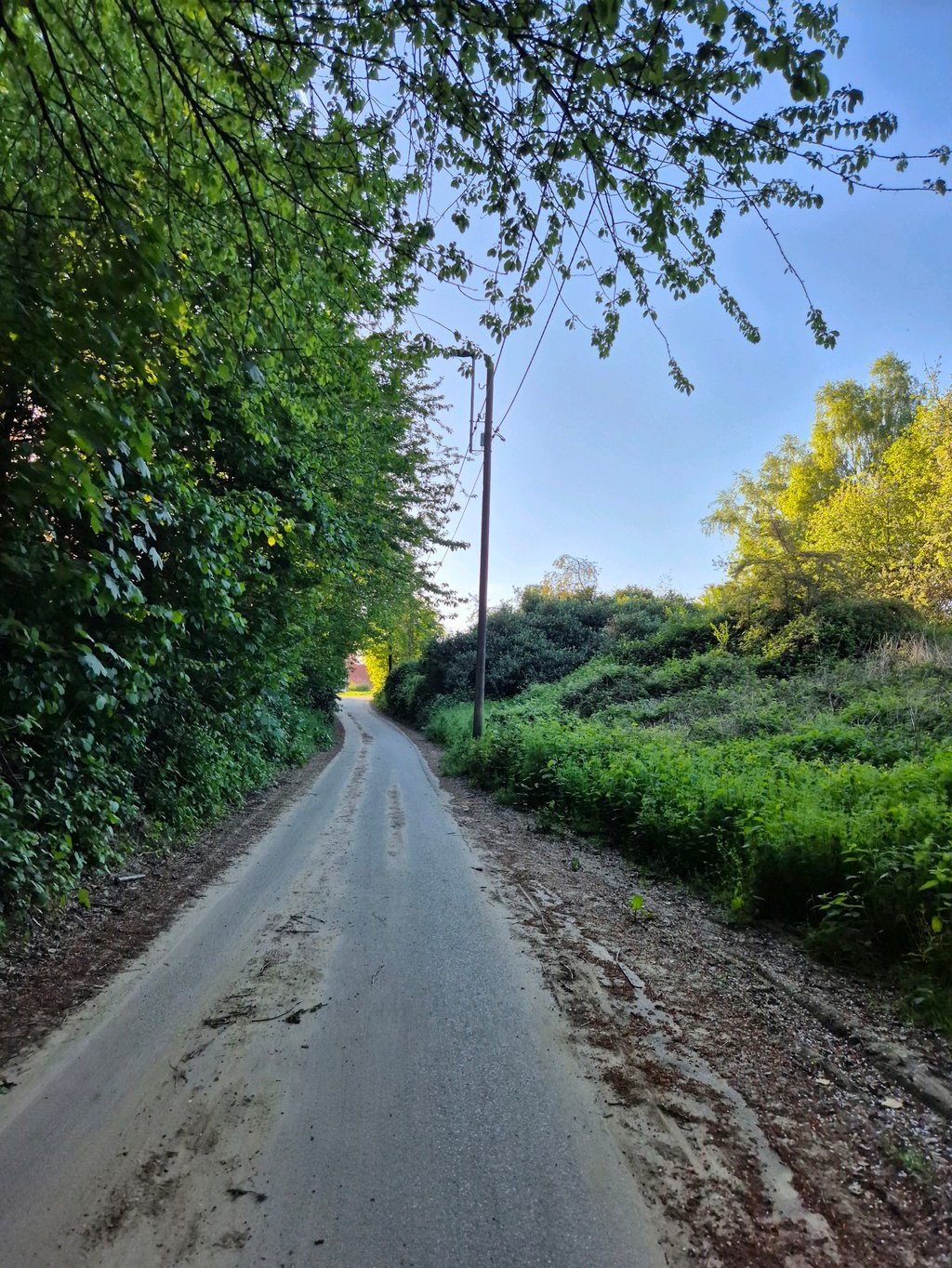
Trassersweg from Neder-Over-Heembeek is a climb in the region Brussels-Capital Region. It is 0.7 mi long and bridges 148 ft of vertical ascent with an average gradient of 3.8%, resulting in a difficulty score of 21. The top of the ascent is located at 213 ft above sea level. Climbfinder users shared 4 reviews of this climb and uploaded 4 photos.
Road names: Ransbeekstraat & Trassersweg
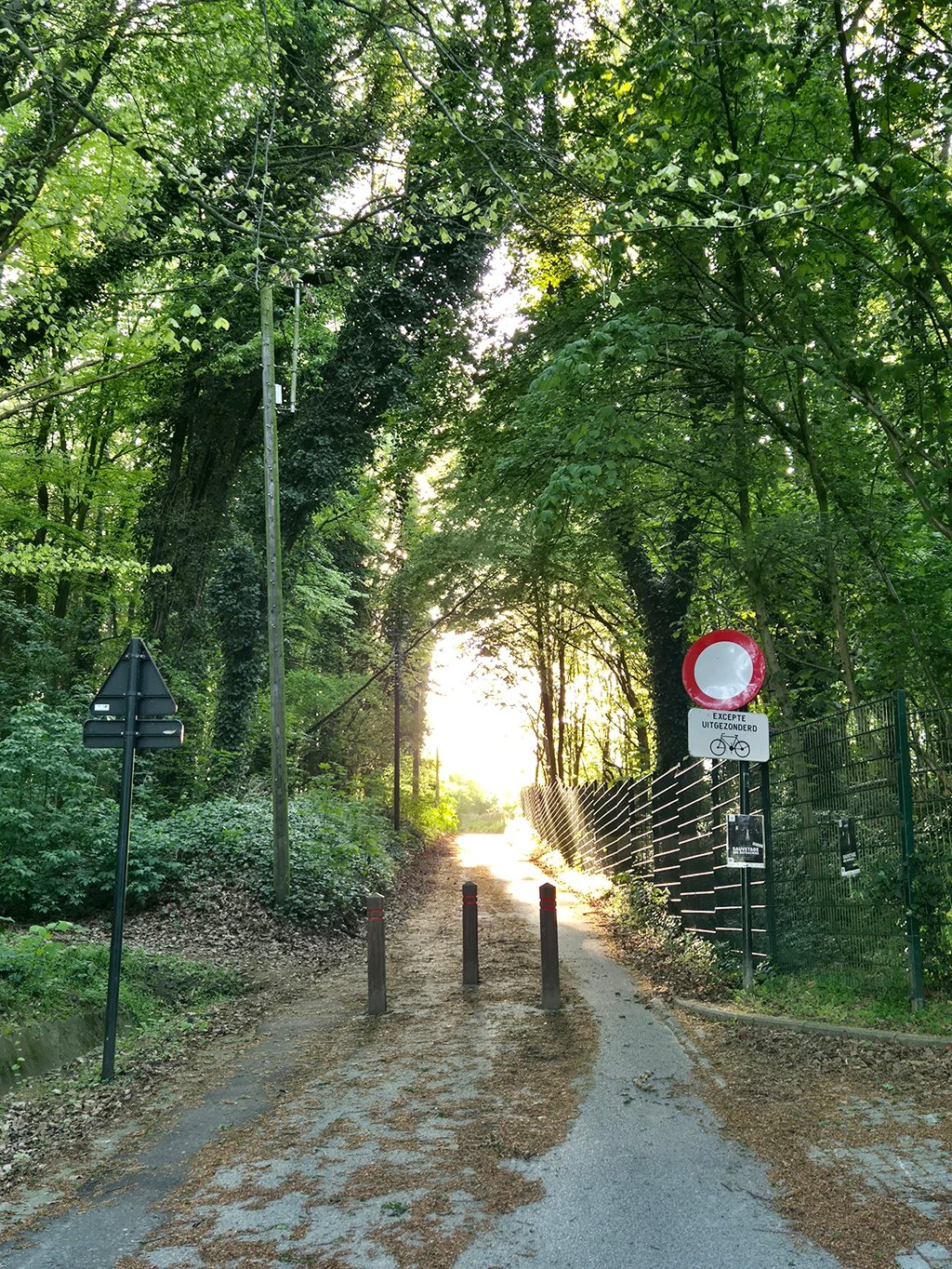
4.0 by StVdMThis is an automatic translation, the original language is: Dutch.Nice slope in green surroundings in Neder-over-Heembeek. It never gets really steep. If you're in the area, this is definitely recommended. The area, due to the construction of a new tram track, was repaved in 2024. On Ransbeekstraat, you can take the cycle path and then turn left, over the tram tracks. Trassersweg consists of solid asphalt along its entire length. The poor road surface cited here no longer applies. In rainy weather, however, the road surface can be dirty.... read more
Welcome! Please activate your account if you would like to share something. Look for the verification email in your inbox.
If you want to upload your photos, you need to create an account. It only takes 1 minute and it's completely free.
Nice slope in green surroundings in Neder-over-Heembeek. It never gets really steep. If you're in the area, this is definitely recommended. The area, due to the construction of a new tram track, was repaved in 2024. On Ransbeekstraat, you can take the cycle path and then turn left, over the tram tracks. Trassersweg consists of solid asphalt along its entire length. The poor road surface cited here no longer applies. In rainy weather, however, the road surface can be dirty.
Mooie helling in een groene omgeving in Neder-over-Heembeek. Het wordt nooit echt steil. Als je in de buurt bent, is dit zeker een aanrader. De omgeving werd, door de aanleg van een nieuwe tramspoor, heraangelegd in 2024. Op de Ransbeekstraat kan je het fietspad nemen om vervolgens links, over de tramsporen, af te slagen. De Trassersweg bestaat over de volledige lengte uit degelijk asfalt. Het slechte wegdek dat hier aangehaald wordt, is niet meer van toepassing. Bij regenweer kan het wegdek wel vuil liggen.
Beware of the first stretch (Ransbeekstraat) where the construction of tram line 10 makes it difficult to turn into Trassersweg without setting foot on it. These works look set to continue throughout 2024. Once the works are finished, Ransbeekstraat would be bike-friendly, but we will see in 2025.
Opgelet voor het eerste stuk (de Ransbeekstraat) waar de aanleg van de tramlijn 10 het moeilijk maakt om de Trassersweg in te draaien zonder voet aan de grond te zetten. Deze werken lijken nog door te zullen gaan gedurende gans 2024. Eens de werken beëindigd, zou de Ransbeekstraat wel fietsvriendelijk zijn, maar dat zien we dan wel in 2025.
The Trassersweg itself is a fairly narrow path which is remarkable enough to be listed in the Cotacol encyclopaedia (entry no. 601, 47 points). Its surface, which was once in very poor condition, is now in very good condition.
Le Trassersweg proprement dit est une sente assez étroite et suffisamment remarquable pour être répertoriée dans l'encyclopédie Cotacol (côte n° 601, 47 points). Son revêtement, autrefois très dégradé, est maintenant en très bon état.
Even a bit longer if you start from the canal. The first part is a bit busier but then you dive into the forest and it really starts. Then a long spur to nos pilifs. Keep going and switch to the big plate
Zelfs nog iets langer als je vanaf het kanaal begint. Het eerste stuk is wat drukker maar dan duik je het bos in en begint het echt. Dan nog lange uitloper tot aan nos pilifs. Doorbijten en grote plaat schakelen
| 5 mph | 00:08:53 |
| 7 mph | 00:06:17 |
| 9 mph | 00:04:54 |
| 12 mph | 00:03:41 |
This page is better in the app