View on map
© MapLibre | OpenStreetMap contributors
1%
2%
4%
6%
8%
10%
12%
15%
20%

Steinkopf from Steffeshausen

0 reviews | Elevation profile | 1 photo
Tips nearby
Steinkopf from Steffeshausen
transparant thumb
transparant thumb
transparant thumb
transparant thumb
transparant thumb
transparant thumb
transparant thumb
Your achievable time
Calculating based on your best performances...
Relaxed
Maximum
W/kg
W/kg
W/kg
Analyze your climbing performance
Detailed insight into your climbing performance & automatically check off climbs
Based on your best performances.
Your best attempt:
Number of attempts:
Elevation profile Steinkopf from Steffeshausen

Statistics

Difficulty points 136
Length 1.6 mi
Average gradient 6%
Steepest segment 13.3%
Total ascent 495 ft

Short recap

Hidden gem
#26 toughest climb of High Fens & East Cantons
#59 most elevation gain of High Fens & East Cantons
Feedback about this climb?
Show climbs nearby Export to GPS device

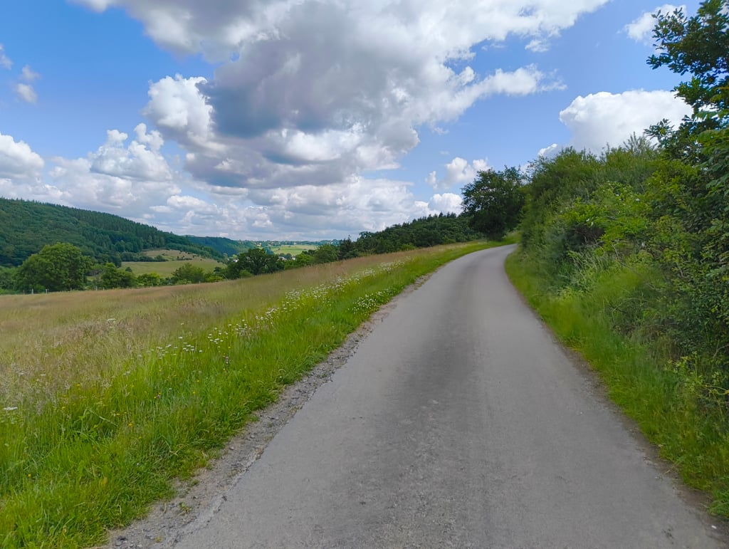
Steinkopf from Steffeshausen is a climb in the region High Fens & East Cantons. It is 1.6 mi long and bridges 495 ft of vertical ascent with an average gradient of 6%, resulting in a difficulty score of 136. The top of the ascent is located at 1670 ft above sea level. Climbfinder users shared 0 reviews of this climb and uploaded 1 photo.

Road names: Hohlweg & Im Kreuzweg

Photos (1)

Steinkopf from Steffeshausen
transparant thumb
transparant thumb
transparant thumb
transparant thumb
transparant thumb

Your uploads (max 4)

Welcome! Please activate your account if you would like to share something. Look for the verification email in your inbox.

If you want to upload your photos, you need to create an account. It only takes 1 minute and it's completely free.

  • Receive free climbfinder goodies for your reviews & photos.
  • Create a bucket list and check off conquered climbs.
  • Add missing climbs.
Continue with GoogleContinue with Google Continue with FacebookContinue with Facebook Continue with AppleContinue with Apple Sign up with email
By signing up you agree to our terms of service and confirm that you have read our privacy & content policy.

Reviews (0)

5.0
4.0
3.0
2.0
1.0

Climbing times

5 mph 00:18:57
7 mph 00:13:25
9 mph 00:10:27
12 mph 00:07:51

Road surface condition

0% 0% 0%
Based on 0 votes
Share your knowledge. What was the road condition during your ascent?

Traffic

0% 0% 0%
Based on 0 votes
Your experience counts. How much traffic did you encounter during the climb?

Frequently Asked Questions

Steinkopf can be cycled from 3 sides. Alerberg from Burg-Reuland is the most popular side, but the summit can also be reached via Steinkopf from Auel & Steinkopf from Steffeshausen.

You don't need special gearing for Steinkopf from Steffeshausen. The slope isn't long or steep enough to require much shifting down. You can conquer this climb on power alone. However, a compact gearing system with a smallest front chainring of 34 and largest rear sprocket of 28 or 30 is always nice if you enjoy cycling uphill. This helps maintain a smooth cadence.

Steinkopf from Steffeshausen is a 4th-category climb. A sprint to the top is usually not an option, and untrained riders will definitely feel it in their legs. For trained cyclists, it is a great training climb.

Steinkopf from Steffeshausen is 1.6 mi long.

The average gradient of Steinkopf from Steffeshausen is 6%.

Steinkopf from Steffeshausen has a steepest segment with an average gradient of 13.3%.

The summit of Steinkopf from Steffeshausen is at 1670 ft.

At a slow pace of 5 mph, it takes about 00:18:57 to climb Steinkopf from Steffeshausen. At 7 mph the time is 00:13:25, and at 9 mph 00:10:27. For the fastest cyclists, 00:07:51 is an achievable time.

Steinkopf from Steffeshausen is located in the region High Fens & East Cantons in Belgium.

This page is better in the app

Climbfinder app
Climbfinder
(Free)
Open