Sint Pietersberg via Luikerweg is a climb in the region South Limburg. It is 0.7 mi long and bridges 157 ft of vertical ascent with an average gradient of 4.5%, resulting in a difficulty score of 30. The top of the ascent is located at 322 ft above sea level. Climbfinder users shared 7 reviews of this climb and uploaded 9 photos.
Road names: Sint Hubertuslaan & Luikerweg
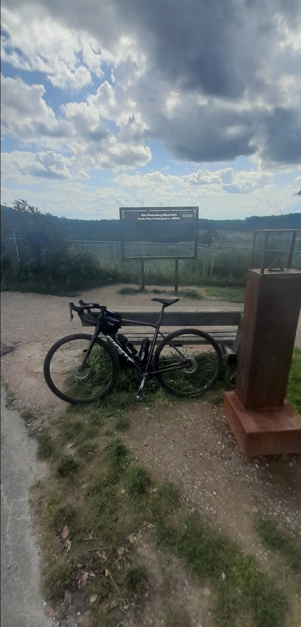
2.0 by PROSEThis is an automatic translation, the original language is: Dutch.Not a difficult climb and busy with cars heading for the car park and further on my hikers on the Sint Pietersberg. Nice vantage point at the ENCI quarry near the top, though.... read more

Welcome! Please activate your account if you would like to share something. Look for the verification email in your inbox.
If you want to upload your photos, you need to create an account. It only takes 1 minute and it's completely free.
Not a difficult climb and busy with cars heading for the car park and further on my hikers on the Sint Pietersberg. Nice vantage point at the ENCI quarry near the top, though.
Geen moeilijke klim en druk met auto’s richting de parkeerplaats en verderop mijn wandelaars op de Sint Pietersberg. Wel een mooi uitkijkpunt in de ENCI-groeve bij de top.
Least difficult climb of the options to ride up Sint Pietersberg. The climb starts on Luikerweg thv the police station. You keep following the road constantly straight ahead and ride past Fort Sint Pieter towards the top. Steepest part of the climb is from junction with several caf's until just after passing the fort.
Minst moeilijke klim van de mogelijkheden om de Sint Pietersberg op te rijden. De klim start op de Luikerweg thv het politiebureau. Je blijft de weg constant rechtdoor volgen en rijdt langs Fort Sint Pieter richting top. Steilste deel van de klim ligt vanaf kruising met diverse café's tot net na passage van het fort.
For me, the least scenic ascent of Mount Pietersberg. Because it is so crowded and goes between houses the first part. It is, however, the only side from which you drive towards the fort, which is a beautiful picture. Past the fort's car park, you reach the plateau after another brisk short climb and you can look around wonderfully. Almost always lots of people here, except on a quiet September evening.
Wat mij betreft de minst mooie beklimming van de Pietersberg. Omdat hij zo druk is en tussen de huizen door gaat het eerste stuk. Het is wel de enige kant van waaraf je naar het fort toe rijdt en dat is een prachtig plaatje. Voorbij de parkeerplaats bij het fort kom je op het plateau na nog een pittig kort stukje klimmen en kun je heerlijk om je heen kijken. Bijna altijd heel veel mensen hier, behalve op een rustige septemberavond.
Not too difficult and varied climb. The part after the parking lot is the toughest but doesn't take long. The fortress is impressive and in the descent there is a nice view on Maastricht. Lots of hikers.
The other climbs to the Sint-Pietersberg are narrow and winding and can be slippery (leaves). Descent via the Luikerweg is then clearly the best option.
Niet al te moeilijke en gevarieerde klim. Het stuk na de parkeerplaats is het pittigst maar duurt niet lang. Het fort is imposant en er is in de afdaling een leuk uitzicht op Maastricht. Wel veel wandelaars.
De andere klimmen naar de Sint-Pietersberg zijn smal en bochtig en kunnen glad zijn (bladeren). Afdalen via de Luikerweg is dan duidelijk de beste optie.
The Pietersberg is a very nice area and from the top of the luikerweg there is a nice view over Maastricht. The luikerweg is the easiest, least beautiful and busiest way to get to the top. The road also runs partly over the parking lot at the fortress.
So if you want an easy way to get on top of the Pietersberg and enjoy the surroundings/viewpoint, this climb is recommended. If you want a nicer and/or more challenging climb, choose one of the climbs on the east side of the Pietersberg (e.g. zonneberg or schutterijweg) and use the Luikerweg at most as a descent.
De Pietersberg is een erg mooie omgeving en vanaf bovenaan de luikerweg is er ook een mooi uitzicht over Maastricht. De luikerweg is alleen wel de makkelijkste, minst mooie en drukste weg om boven te komen. De weg loopt ook deels over de parkeerplaats bij het fort.
Dus wil je een makkelijke manier om boven op de Pietersberg te komen en daar van de omgeving/uitzichtspunt te genieten, dan is deze beklimming aan te raden. Wil je een mooiere en/of uitdagendere beklimming, kies dan voor een van de beklimmingen aan de oostkant van de Pietersberg (bv zonneberg of schutterijweg) en gebruik de Luikerweg hoogstens als afdaling.
If you are used to Limburg, this climb is easy to do.
It is not too long and you can sprint pretty well on the flat approach to the mountain.
The traffic is not too bad since there is only a parking lot at the top for Charlet Bergrust and the hiking / mountain bike trails on the Pietersberg.
Als je Limburg gewend bent is dit klimmetje goed te doen.
Hij is niet al te lang en je kunt er vrijgoed op sprinten door de vlakke aanloop naar de berg toe.
Het verkeer val vind ik altijd heel erg mee aangezien bovenaan alleen een parkeerplaats is voor Charlet Bergrust en de wandel / mountainbike paden op de Pietersberg.
Quite a tough climb. Once past the parking lot at Chalet Bergrust the road gets a lot calmer and you end up nicely on top of the plateau.
Best wel een pittig klimmetje. Eenmaal voorbij de parkeerplaats bij Chalet Bergrust word de weg een stuk rustiger en eindig je mooi bovenop het plateau.
| 5 mph | 00:08:03 |
| 7 mph | 00:05:42 |
| 9 mph | 00:04:26 |
| 12 mph | 00:03:20 |
This page is better in the app