View on map
© MapLibre | OpenStreetMap contributors
1%
2%
4%
6%
8%
10%
12%
15%
20%

Schuureikenweg from Schurenberg

2.5
2 reviews | Elevation profile | 7 photos
Tips nearby
Schuureikenweg from Schurenberg
transparant thumb
Your achievable time
Calculating based on your best performances...
Relaxed
Maximum
W/kg
W/kg
W/kg
Analyze your climbing performance
Detailed insight into your climbing performance & automatically check off climbs
Based on your best performances.
Your best attempt:
Number of attempts:
Elevation profile Schuureikenweg from Schurenberg

Statistics

Difficulty points 24
Length 0.3 mi
Average gradient 6.4%
Steepest segment 11.8%
Total ascent 102 ft
Feedback about this climb?
Show climbs nearby Export to GPS device

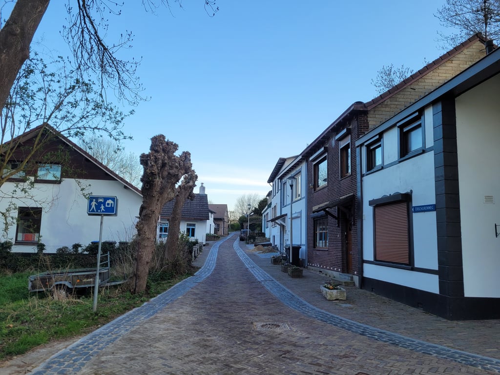
Schuureikenweg from Schurenberg is a climb in the region South Limburg. It is 0.3 mi long and bridges 102 ft of vertical ascent with an average gradient of 6.4%, resulting in a difficulty score of 24. The top of the ascent is located at 344 ft above sea level. Climbfinder users shared 2 reviews of this climb and uploaded 7 photos.

Road names: Schurenbergsweg & Schuureikenweg

2.0 by Jarin
This is an automatic translation, the original language is: Dutch.
Not a very nice climb. First stretch is still car-free, but once on the Schuureikenweg you find yourself on a busy through road. Perhaps a necessary evil if you want to head towards Hoensbroek castle, but just south of the A76 are nice connecting roads in a rural setting.... read more

Photos (7)

Schuureikenweg from Schurenberg
transparant thumb
transparant thumb
transparant thumb
transparant thumb
transparant thumb

Your uploads (max 4)

Welcome! Please activate your account if you would like to share something. Look for the verification email in your inbox.

If you want to upload your photos, you need to create an account. It only takes 1 minute and it's completely free.

  • Receive free climbfinder goodies for your reviews & photos.
  • Create a bucket list and check off conquered climbs.
  • Add missing climbs.
Continue with GoogleContinue with Google Continue with FacebookContinue with Facebook Continue with AppleContinue with Apple Sign up with email
By signing up you agree to our terms of service and confirm that you have read our privacy & content policy.

Reviews (2)

5.0
4.0
3.0
2.0
1.0
Jarin
1 y 2.0
This is an automatic translation, the original language is: Dutch. Show original

Not a very nice climb. First stretch is still car-free, but once on the Schuureikenweg you find yourself on a busy through road. Perhaps a necessary evil if you want to head towards Hoensbroek castle, but just south of the A76 are nice connecting roads in a rural setting.

Geen echt mooie klim. Eerste stuk is nog autoluw, maar eenmaal op de Schuureikenweg bevindt je je op een drukke doorgaande weg. Wellicht noodzakelijk kwaad als je richting kasteel Hoensbroek wilt, maar net ten zuiden van de A76 liggen mooie verbindingswegen in een landelijke omgeving.

Dashboard
Fedor
4 y 3.0
This is an automatic translation, the original language is: Dutch. Show original

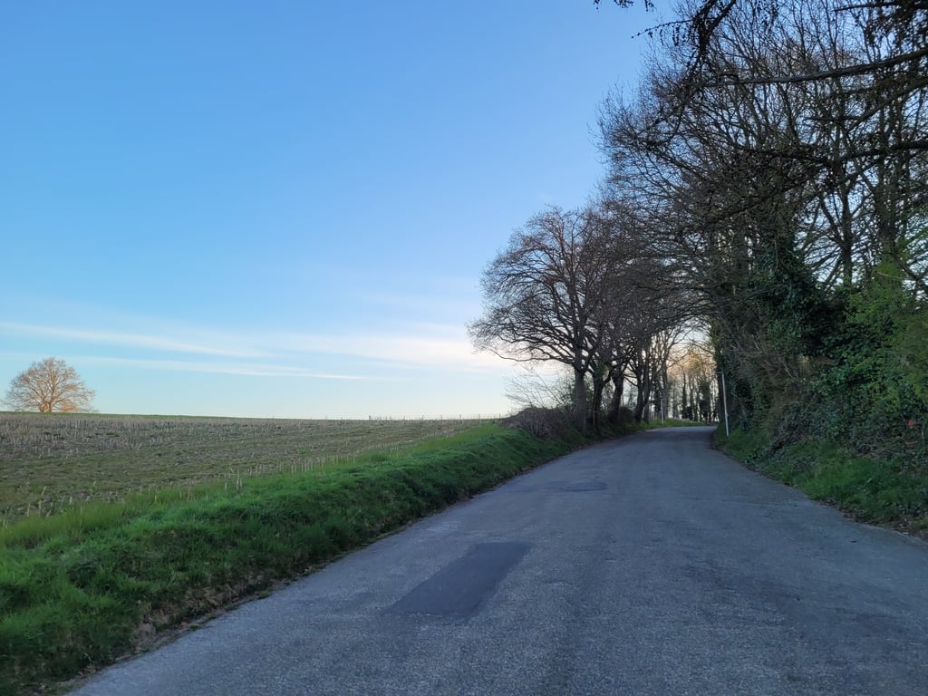
For my feeling a slightly quieter climb than what the percentages indicate. The largest part is on a car's almost deserted road (because dead end except for cyclists) to the T-junction. Here right and then comes immediately the steep part after which you soon at the top are. Not very spectacular further. A green area and good tarmac.

Voor mijn gevoel een iets rustiger klim dan wat de percentages aangeven. Het grootste deel gaat over een qua auto's vrijwel uitgestorven weg (want doodlopend behalve voor fietsers) naar de T-splitsing. Hier rechts en dan komt meteen het steile gedeelte waarna je al snel op de top bent. Niet heel opzienbarend verder. Wel een groen gebied en goed asfalt.

Schuureikenweg from Schurenberg
Dashboard

Climbing times

5 mph 00:03:39
7 mph 00:02:35
9 mph 00:02:01
12 mph 00:01:31

Road surface condition

0% 100% 0%
Based on 1 vote
Share your knowledge. What was the road condition during your ascent?

Traffic

100% 0% 0%
Based on 1 vote
Your experience counts. How much traffic did you encounter during the climb?

Frequently Asked Questions

You don't need special gearing for Schuureikenweg from Schurenberg. The slope isn't long or steep enough to require much shifting down. You can conquer this climb on power alone. However, a compact gearing system with a smallest front chainring of 34 and largest rear sprocket of 28 or 30 is always nice if you enjoy cycling uphill. This helps maintain a smooth cadence.

Schuureikenweg from Schurenberg is not tough enough to be assigned a mountain category. This means that even untrained cyclists can reach the top without any problems on this climb.

Schuureikenweg from Schurenberg is 0.3 mi long.

The average gradient of Schuureikenweg from Schurenberg is 6.4%.

Schuureikenweg from Schurenberg has a steepest segment with an average gradient of 11.8%.

The summit of Schuureikenweg from Schurenberg is at 344 ft.

At a slow pace of 5 mph, it takes about 00:03:39 to climb Schuureikenweg from Schurenberg. At 7 mph the time is 00:02:35, and at 9 mph 00:02:01. For the fastest cyclists, 00:01:31 is an achievable time.

Schuureikenweg from Schurenberg is located in the region Limburg in Netherlands.

This page is better in the app

Climbfinder app
Climbfinder
(Free)
Open