Tips nearby


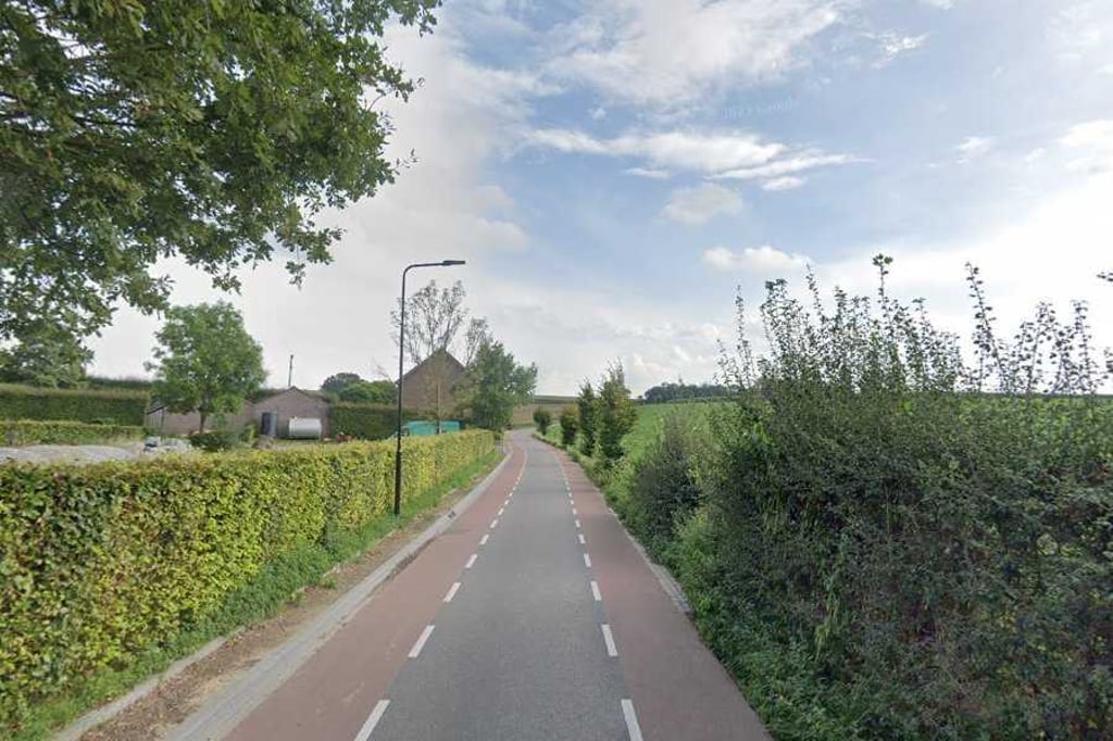
Ransdalerstraat from Ransdaal is a climb in the region South Limburg. It is 0.4 mi long and bridges 56 ft of vertical ascent with an average gradient of 2.8%, resulting in a difficulty score of 7. The top of the ascent is located at 387 ft above sea level. Climbfinder users shared 2 reviews of this climb and uploaded 4 photos.
Road name: Ransdalerstraat
3.0 by FedorThis is an automatic translation, the original language is: Dutch.Runs up nicely from the village in a wide bend before a smaller second incline follows after a virtually flat section to the clear summit. Clear cycle lanes, good tarmac, an agricultural setting and the road is quiet.... read more
Welcome! Please activate your account if you would like to share something. Look for the verification email in your inbox.
If you want to upload your photos, you need to create an account. It only takes 1 minute and it's completely free.
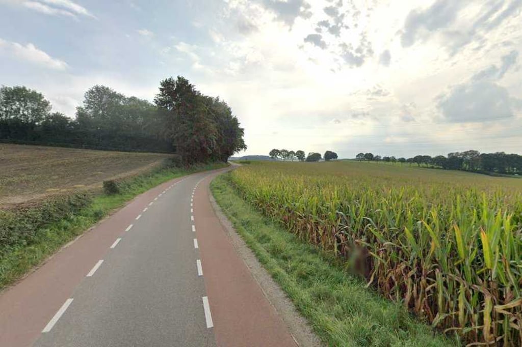
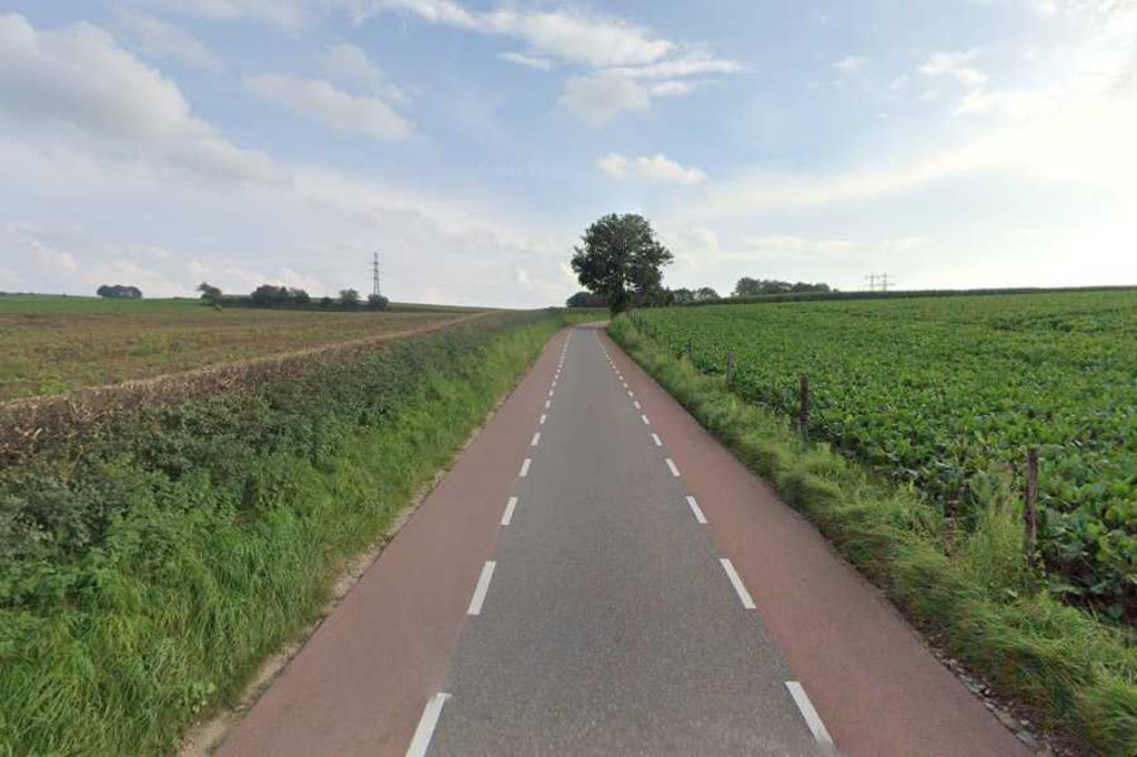
Runs up nicely from the village in a wide bend before a smaller second incline follows after a virtually flat section to the clear summit. Clear cycle lanes, good tarmac, an agricultural setting and the road is quiet.
Loopt vanuit het dorp in een ruime bocht leuk op waarna er na een vrijwel vlak stuk een kleinere tweede helling volgt naar de duidelijke top. Duidelijke fietsstroken, goed asfalt, een agrarische omgeving en de weg is rustig.
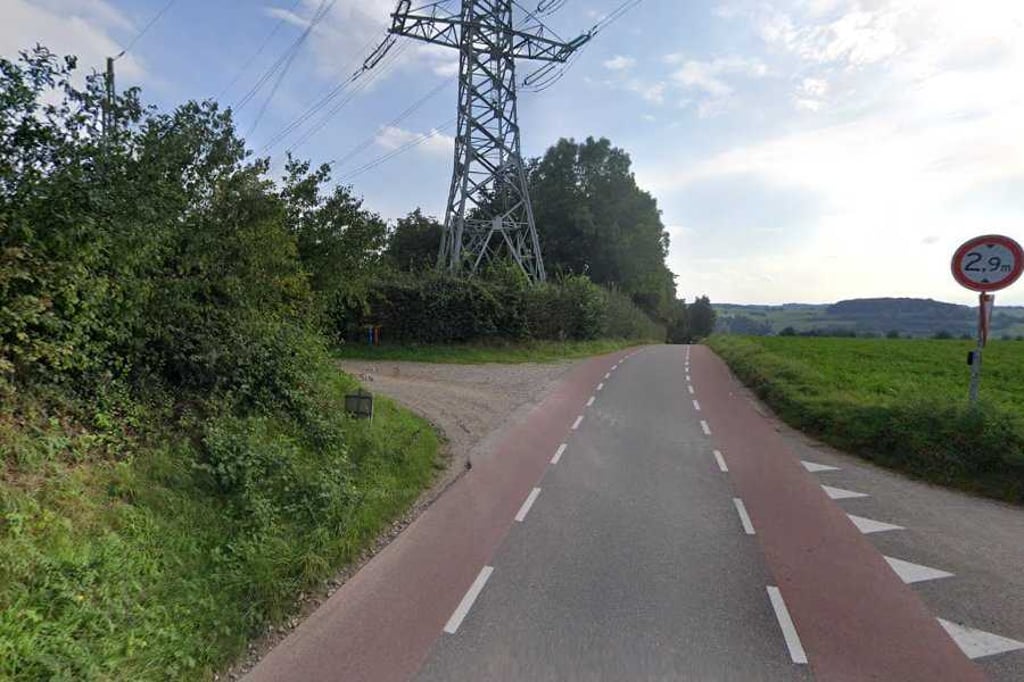
Short climb that starts just after leaving Ransdaal towards Schoonbron. You first go up for a bit and then have an almost flat section. After this, the climb continues until the top at Delkesweg. You descend towards Schoonbron. At the junction right after the power station you can turn left onto Schaapdries and continue the rest of this climb.
Korte klim die begint net na het uitrijden van Ransdaal richting Schoonbron. Je gaat eerst een stukje omhoog om vervolgens even een nagenoeg vlak deel te krijgen. Hierna ga je weer ver stijgen tot de top t.h.v. de Delkesweg. Richting Schoonbron daal je even af. Op de splitsing direct na het energiestation kan je linksaf de Schaapdries op en het restant van deze klim verder meepakken.
| 5 mph | 00:04:25 |
| 7 mph | 00:03:08 |
| 9 mph | 00:02:26 |
| 12 mph | 00:01:50 |
This page is better in the app