Tips nearby


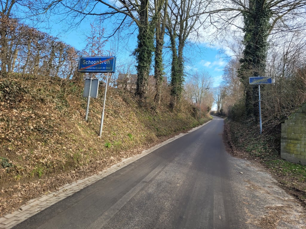
Holleweg Schin op Geul is a climb in the region South Limburg. It is 0.4 mi long and bridges 125 ft of vertical ascent with an average gradient of 5.3%, resulting in a difficulty score of 26. The top of the ascent is located at 387 ft above sea level. Climbfinder users shared 3 reviews of this climb and uploaded 8 photos.
Road names: Holleweg & Delkesweg
3.0 by JarinThis is an automatic translation, the original language is: Dutch.Nice straightforward climb. Good road surface, briefly interrupted by an unguarded level crossing. Fortunately, it is hardly used anymore; only in summer by the Million Train (steam train).... read more

Welcome! Please activate your account if you would like to share something. Look for the verification email in your inbox.
If you want to upload your photos, you need to create an account. It only takes 1 minute and it's completely free.
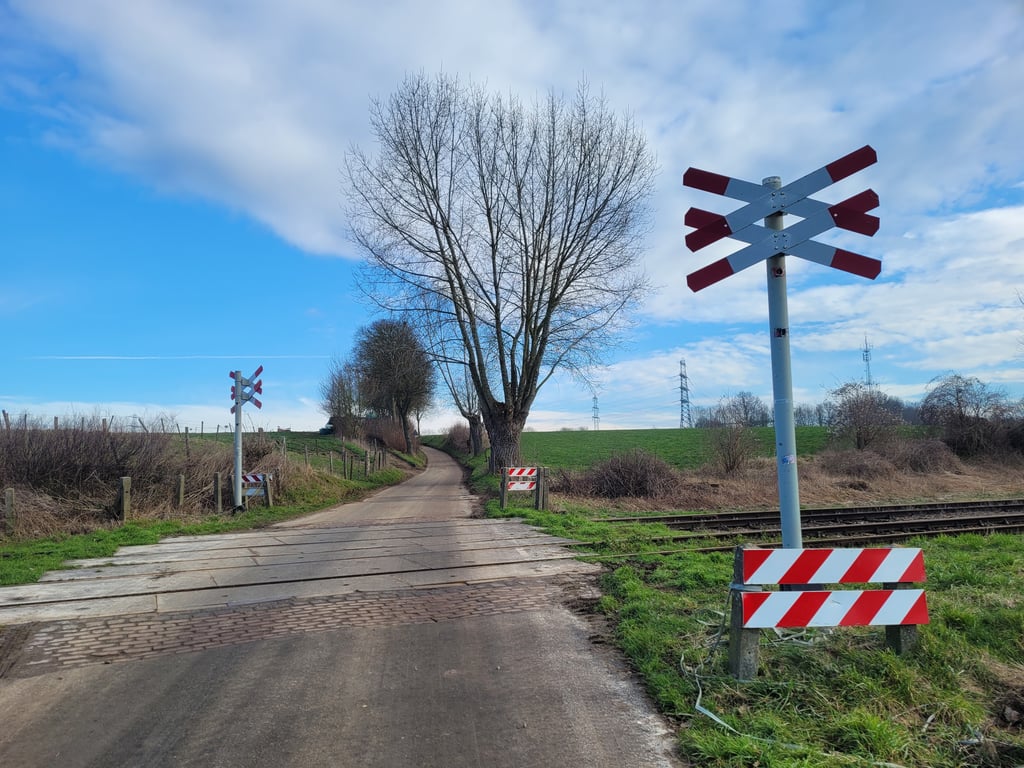
Nice straightforward climb. Good road surface, briefly interrupted by an unguarded level crossing. Fortunately, it is hardly used anymore; only in summer by the Million Train (steam train).
Mooie rechttoe rechtaan klim. Goed wegdek, dat even wordt onderbroken door een onbewaakte spoorwegovergang. Gelukkig wordt deze nauwelijks meer gebruikt; alleen nog in de zomer door de Miljoenentrein (stoomtrein).
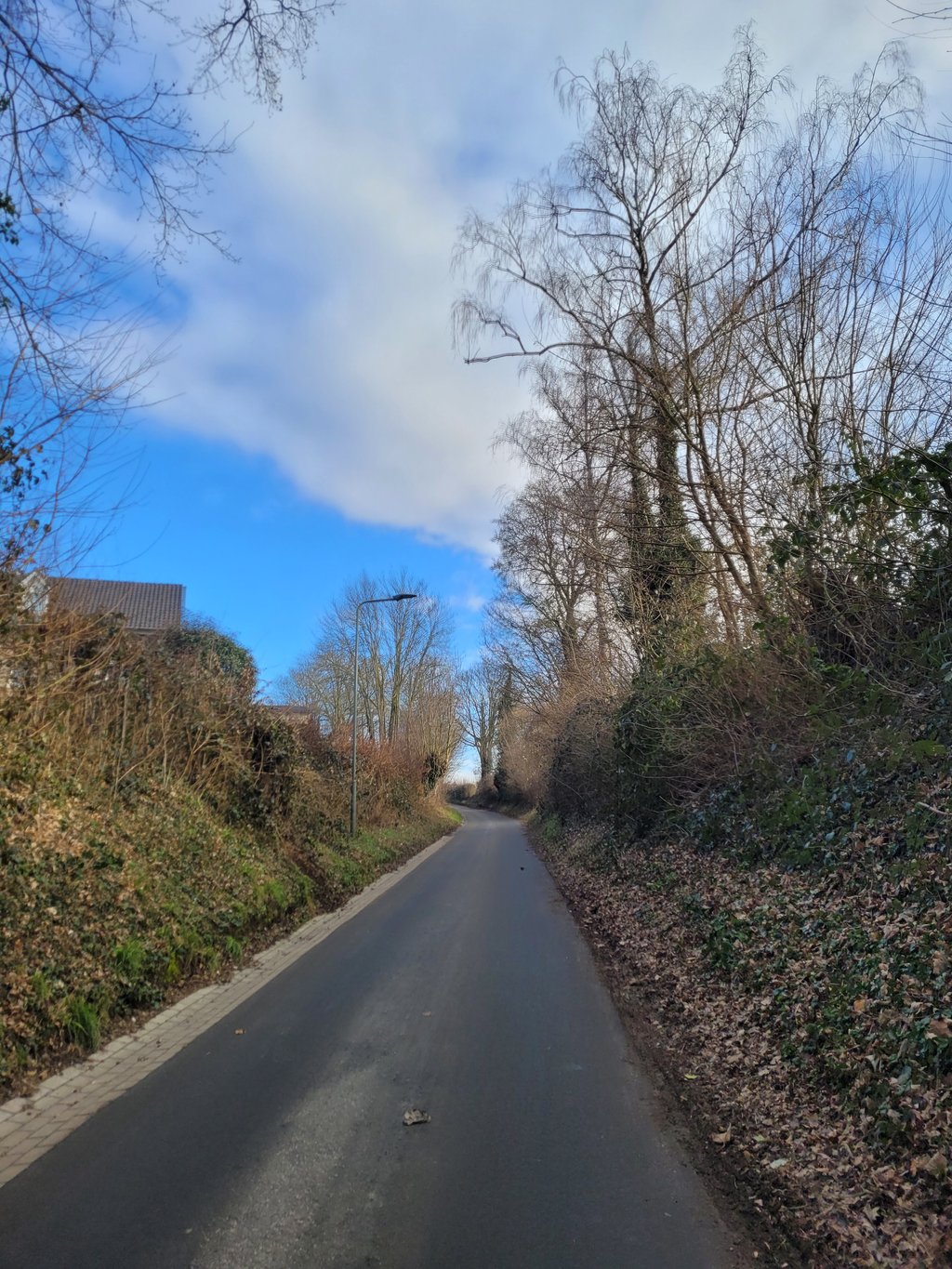
A nice little road uphill and a lot nicer than the Ransdalerstraat (which is not bad either) so clearly preferable if you have to travel from the Geul valley in the direction of Ransdaal. Nice uphill section from the start, flat on the level crossing and then a nice steeper section. At the "top" you have to keep on riding until the T-junction for the "real" end. Nice view towards Ransdaal as well as towards the Geuldal.
Een heerlijk weggetje omhoog en een stuk leuker dan de Ransdalerstraat (die ook niet slecht is) dus duidelijk te prefereren als je vanuit het Geuldal richting Ransdaal moet. Lekker omhoog vanaf het begin, even vlak op de spoorwegovergang en daarna nog een lekker steiler stukje. Op de "top" nog even doorrijden tot de T-splitsing voor het "echte" einde. Mooi uitzicht richting Ransdaal als ook richting het Geuldal.
I've taken him yesterday is a very nice climb if you want to quietly climb for the Keutenberg
heb hem ff meegepakt gister is een zeer lekker klimmetje als je heel even rustig wil klimmen voor de keutenberg
| 5 mph | 00:05:22 |
| 7 mph | 00:03:48 |
| 9 mph | 00:02:58 |
| 12 mph | 00:02:13 |
This page is better in the app