View on map
© MapLibre | OpenStreetMap contributors
1%
2%
4%
6%
8%
10%
12%
15%
20%

Nijselrodestraat via Torenstraat

3.0
1 review/story | Elevation profile | 0 photos
Tips nearby
Your achievable time
Calculating based on your best performances...
Relaxed
Maximum
W/kg
W/kg
W/kg
Analyze your climbing performance
Detailed insight into your climbing performance & automatically check off climbs
Based on your best performances.
Your best attempt:
Number of attempts:
Elevation profile Nijselrodestraat via Torenstraat

Statistics

Difficulty points 22
Length 3.1 mi
Average gradient 1.6%
Steepest segment 6%
Total ascent 259 ft

Short recap

#68 toughest climb of Hageland
#73 most elevation gain of Flanders
#5 longest climb of Flanders
Feedback about this climb?
Show climbs nearby Export to GPS device

Nijselrodestraat via Torenstraat is a climb in the region Hageland. It is 3.1 mi long and bridges 259 ft of vertical ascent with an average gradient of 1.6%, resulting in a difficulty score of 22. The top of the ascent is located at 312 ft above sea level. Climbfinder users shared 1 review/story of this climb and uploaded 0 photos.

Road names: Vissenakenstraat, Torenstraat, Hoefstraat & Nijselrodestraat
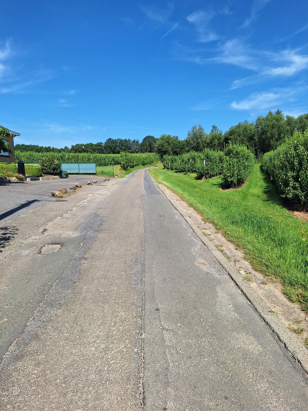
This is an automatic translation, the original language is: Dutch.
According to the statistics on this site, the longest slope of the Hagelend and the slope with the most altimeters. In terms of length even the 2nd in Flemish Brabant! Nice to have done. Slope in three steps. The descents make sure you can recuperate well each time so you can start the remaining slope again with full strength. Foot is located at the Dalem mill. The first slope is to the centre of Wever. Afterwards from Wever to Attenrode a second bit of slope where you pass the mast of Attenro... read more

Photos (0)

transparant thumb
transparant thumb
transparant thumb
transparant thumb
transparant thumb
transparant thumb

Your uploads (max 4)

Welcome! Please activate your account if you would like to share something. Look for the verification email in your inbox.

If you want to upload your photos, you need to create an account. It only takes 1 minute and it's completely free.

  • Receive free climbfinder goodies for your reviews & photos.
  • Create a bucket list and check off conquered climbs.
  • Add missing climbs.
Continue with GoogleContinue with Google Continue with FacebookContinue with Facebook Continue with AppleContinue with Apple Sign up with email
By signing up you agree to our terms of service and confirm that you have read our privacy & content policy.

Reviews (1)

5.0
4.0
3.0
2.0
1.0
Glen_Solana
2 y 3.0
This is an automatic translation, the original language is: Dutch. Show original

According to the statistics on this site, the longest slope of the Hagelend and the slope with the most altimeters. In terms of length even the 2nd in Flemish Brabant! Nice to have done.
Slope in three steps. The descents make sure you can recuperate well each time so you can start the remaining slope again with full strength.
Foot is located at the Dalem mill. The first slope is to the centre of Wever. Afterwards from Wever to Attenrode a second bit of slope where you pass the mast of Attenrode and the castle. Beautiful scenery.
The "venom" is at the very end. Then it gets slightly steeper than before.
You can hardly call it a real full slope, but nice route to follow!

Volgens de statistieken op deze site de langste helling van het Hagelend en de helling met het meeste hoogtemeters. Qua lengte zelfs de 2de van Vlaams-Brabant! Leuk om gedaan te hebben.
Helling in drie trapjes. De afdalingen zorgen ervoor dat je telkens goed kan recupereren zodat je met volle kracht terug aan de resterende helling kan beginnen.
Voet is gelegen aan de Dalemse molen. Eerste stukje helling is naar het centrum van Wever. Nadien vanuit Wever naar Attenrode een tweede stukje helling waarbij je de mast van Attenrode en het kasteel passeert. Mooie omgeving.
Het "venijn" zit hem op het allerlaatste. Dan wordt het ietsjes steiler dan voordien.
Je kan het moeilijk een echt volledige helling noemen, maar mooie route om te volgen!

Dashboard

Climbing times

5 mph 00:36:49
7 mph 00:26:04
9 mph 00:20:19
12 mph 00:15:16

Road surface condition

100% 0% 0%
Based on 1 vote
Share your knowledge. What was the road condition during your ascent?

Traffic

100% 0% 0%
Based on 1 vote
Your experience counts. How much traffic did you encounter during the climb?

Frequently Asked Questions

You don't need special gearing for Nijselrodestraat via Torenstraat. The slope isn't long or steep enough to require much shifting down. You can conquer this climb on power alone. However, a compact gearing system with a smallest front chainring of 34 and largest rear sprocket of 28 or 30 is always nice if you enjoy cycling uphill. This helps maintain a smooth cadence.

Nijselrodestraat via Torenstraat is not tough enough to be assigned a mountain category. This means that even untrained cyclists can reach the top without any problems on this climb.

Nijselrodestraat via Torenstraat is 3.1 mi long.

The average gradient of Nijselrodestraat via Torenstraat is 1.6%.

Nijselrodestraat via Torenstraat has a steepest segment with an average gradient of 6%.

The summit of Nijselrodestraat via Torenstraat is at 312 ft.

At a slow pace of 5 mph, it takes about 00:36:49 to climb Nijselrodestraat via Torenstraat. At 7 mph the time is 00:26:04, and at 9 mph 00:20:19. For the fastest cyclists, 00:15:16 is an achievable time.

Nijselrodestraat via Torenstraat is located in the region Flemish Brabant in Belgium.

This page is better in the app

Climbfinder app
Climbfinder
(Free)
Open