View on map
© MapLibre | OpenStreetMap contributors
1%
2%
4%
6%
8%
10%
12%
15%
20%

Mont de Fontaine from Comblain-la-Tour

4.7
3 reviews | Elevation profile | 4 photos
Tips nearby
Mont de Fontaine from Comblain-la-Tour
transparant thumb
transparant thumb
transparant thumb
transparant thumb
Your achievable time
Calculating based on your best performances...
Relaxed
Maximum
W/kg
W/kg
W/kg
Analyze your climbing performance
Detailed insight into your climbing performance & automatically check off climbs
Based on your best performances.
Your best attempt:
Number of attempts:
Elevation profile Mont de Fontaine from Comblain-la-Tour

Statistics

Difficulty points 127
Length 3.3 mi
Average gradient 4.5%
Steepest segment 9%
Total ascent 774 ft

Short recap

3 hairpin turns
#80 most elevation gain of Belgium
#70 longest climb of Liège Province
Feedback about this climb?
Show climbs nearby Export to GPS device

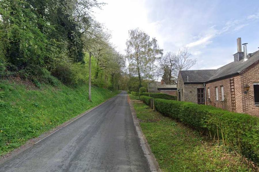
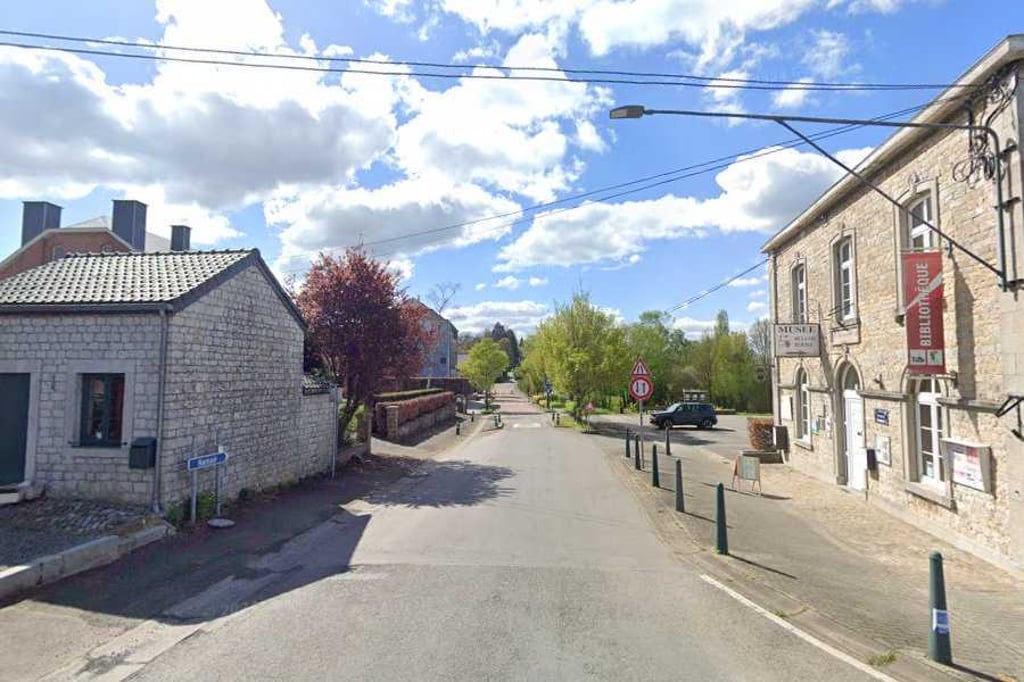
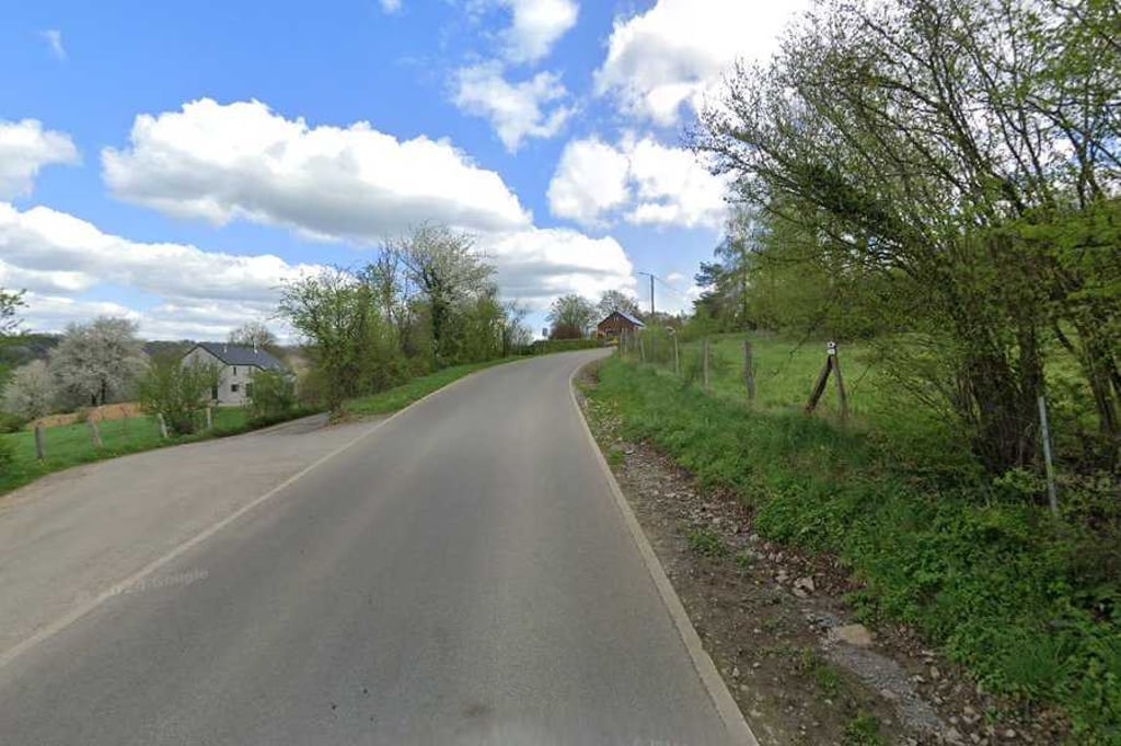
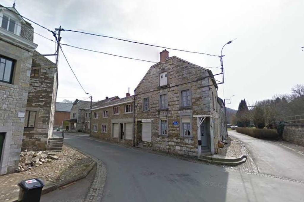
Mont de Fontaine from Comblain-la-Tour is a climb in the region Valleys of the Vesdre, de l'Amblève et de l'Ourthe. It is 3.3 mi long and bridges 774 ft of vertical ascent with an average gradient of 4.5%, resulting in a difficulty score of 127. The top of the ascent is located at 1083 ft above sea level. Climbfinder users shared 3 reviews of this climb and uploaded 4 photos.

Road names: Rue de la Tour, Rue de Comblinay, Rue de Comblain, Route de Hamoir & Mont de Fontaine

4.0 by Maikel1989
This is an automatic translation, the original language is: Dutch.
I found this a pleasant one to cycle because I could nicely pedal my own rhythm everywhere. Good tarmac, little traffic and beautiful scenery. In Xhoris, it gets a little steeper for a while to make sure you are happy to be at the top.... read more

Photos (4)

Mont de Fontaine from Comblain-la-Tour
transparant thumb
transparant thumb

Your uploads (max 4)

Welcome! Please activate your account if you would like to share something. Look for the verification email in your inbox.

If you want to upload your photos, you need to create an account. It only takes 1 minute and it's completely free.

  • Receive free climbfinder goodies for your reviews & photos.
  • Create a bucket list and check off conquered climbs.
  • Add missing climbs.
Continue with GoogleContinue with Google Continue with FacebookContinue with Facebook Continue with AppleContinue with Apple Sign up with email
By signing up you agree to our terms of service and confirm that you have read our privacy & content policy.

Reviews (3)

5.0
4.0
3.0
2.0
1.0
Maikel1989
1 y 4.0
This is an automatic translation, the original language is: Dutch. Show original

I found this a pleasant one to cycle because I could nicely pedal my own rhythm everywhere. Good tarmac, little traffic and beautiful scenery. In Xhoris, it gets a little steeper for a while to make sure you are happy to be at the top.

Ik vond dit een aangename om te fietsen om dat ik overal mooi mijn eigen ritme kon trappen. Goed asfalt, weinig verkeer en mooie omgeving. In Xhoris wordt het heel even wat steiler om er toch voor te zorgen dat je blij bent om boven te zijn.

Dashboard
BikerJohan
1 y 5.0
This is an automatic translation, the original language is: Dutch. Show original

Nice climb of over 5 kilometres from Comblain-la-Tour to Xhoris. Basically a nice run with only between km 4 and 4½ you have to pedal a bit due to the slightly higher gradient.

Mooie klim van ruim 5 kilometer vanuit Comblain-la-Tour naar Xhoris. In principe een lekkere loper waarbij je alleen tussen km 4 en 4½ wat door moet trappen ivm het iets hogere stijgingspercentage.

Dashboard
Didier-R
1 y 5.0
This is an automatic translation, the original language is: French. Show original

Beautiful climb with % which varies and a hairpin to believe that we are in the Alps:) a coast often borrowed on hikes because in a beautiful little village and quiet.

Belle montée avec des % qui varie et une épingle pour croire que nous sommes dans les alpes :) une côte souvent emprunté sur les randonnées car dans un beau petit village et au calme

Dashboard

Climbing times

5 mph 00:39:38
7 mph 00:28:04
9 mph 00:21:52
12 mph 00:16:25

Road surface condition

0% 0% 0%
Based on 0 votes
Share your knowledge. What was the road condition during your ascent?

Traffic

0% 0% 0%
Based on 0 votes
Your experience counts. How much traffic did you encounter during the climb?

Frequently Asked Questions

Mont de Fontaine can be cycled from 3 sides. Côte de Xhoris is the most popular side, but the summit can also be reached via Mont de Fontaine from Comblain-la-Tour & Côte de Xhoris via Comblinay.

You don't need special gearing for Mont de Fontaine from Comblain-la-Tour. The slope isn't long or steep enough to require much shifting down. You can conquer this climb on power alone. However, a compact gearing system with a smallest front chainring of 34 and largest rear sprocket of 28 or 30 is always nice if you enjoy cycling uphill. This helps maintain a smooth cadence.

Mont de Fontaine from Comblain-la-Tour is a 4th-category climb. A sprint to the top is usually not an option, and untrained riders will definitely feel it in their legs. For trained cyclists, it is a great training climb.

Mont de Fontaine from Comblain-la-Tour is 3.3 mi long.

The average gradient of Mont de Fontaine from Comblain-la-Tour is 4.5%.

Mont de Fontaine from Comblain-la-Tour has a steepest segment with an average gradient of 9%.

The summit of Mont de Fontaine from Comblain-la-Tour is at 1083 ft.

At a slow pace of 5 mph, it takes about 00:39:38 to climb Mont de Fontaine from Comblain-la-Tour. At 7 mph the time is 00:28:04, and at 9 mph 00:21:52. For the fastest cyclists, 00:16:25 is an achievable time.

Mont de Fontaine from Comblain-la-Tour is located in the region Valleys of the Vesdre, de l'Amblève et de l'Ourthe in Belgium.

This page is better in the app

Climbfinder app
Climbfinder
(Free)
Open