View on map
© MapLibre | OpenStreetMap contributors
1%
2%
4%
6%
8%
10%
12%
15%
20%

Côte de Xhoris via Comblinay

2.7
3 reviews | Elevation profile | 6 photos
Tips nearby
Côte de Xhoris via Comblinay
transparant thumb
transparant thumb
Your achievable time
Calculating based on your best performances...
Relaxed
Maximum
W/kg
W/kg
W/kg
Analyze your climbing performance
Detailed insight into your climbing performance & automatically check off climbs
Based on your best performances.
Your best attempt:
Number of attempts:
Elevation profile Côte de Xhoris via Comblinay

Statistics

Difficulty points 190
Length 3.1 mi
Average gradient 4.8%
Steepest segment 14%
Total ascent 801 ft

Short recap

Hidden gem
#57 toughest climb of Belgium
#65 most elevation gain of Belgium
#85 longest climb of Liège Province
Feedback about this climb?
Show climbs nearby Export to GPS device

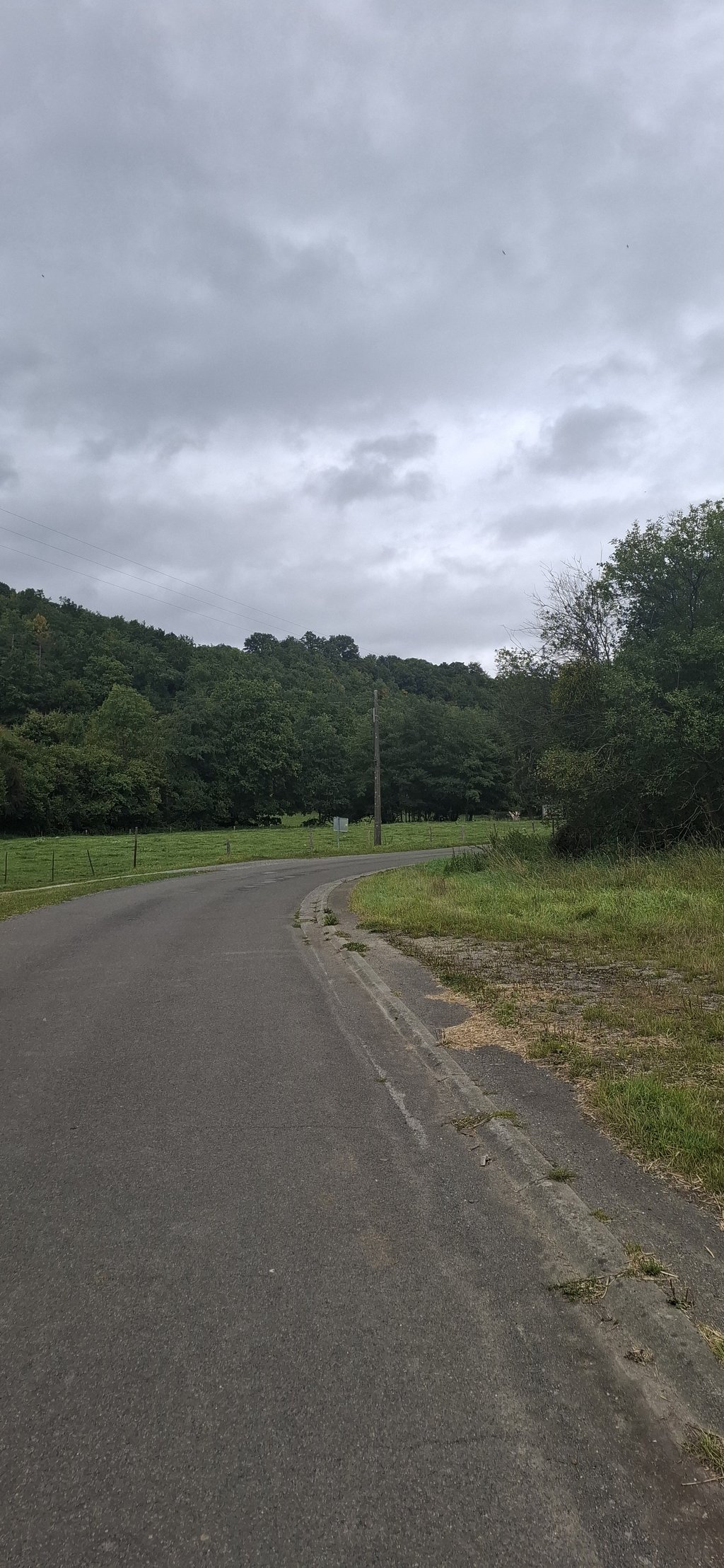
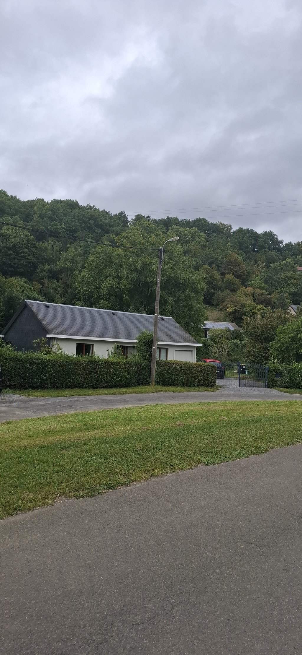
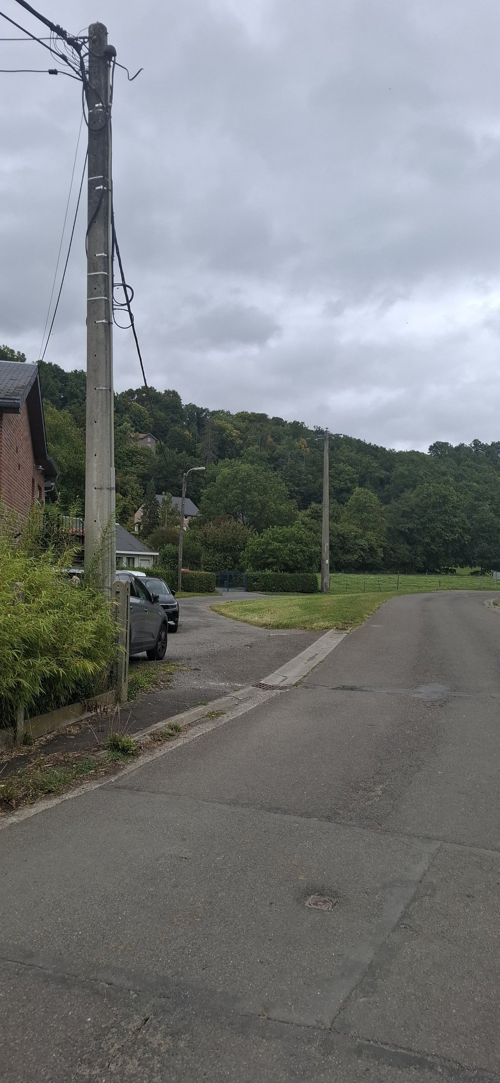
Côte de Xhoris via Comblinay is a climb in the region Valleys of the Vesdre, de l'Amblève et de l'Ourthe. It is 3.1 mi long and bridges 801 ft of vertical ascent with an average gradient of 4.8%, resulting in a difficulty score of 190. The top of the ascent is located at 1083 ft above sea level. Climbfinder users shared 3 reviews of this climb and uploaded 6 photos.

Road names: Rue du Boë, Rue de la Chera, Rue de Comblinay, Rue de ComblainRue Jean Gerlache, Route de Hamoir, Rue Marchenal & Mont de Fontaine

3.0 by LarsG13
This is an automatic translation, the original language is: Dutch.
Very bad road surface with 2 very steep sections, very long climb.... read more

Photos (6)

Côte de Xhoris via Comblinay

Your uploads (max 4)

Welcome! Please activate your account if you would like to share something. Look for the verification email in your inbox.

If you want to upload your photos, you need to create an account. It only takes 1 minute and it's completely free.

  • Receive free climbfinder goodies for your reviews & photos.
  • Create a bucket list and check off conquered climbs.
  • Add missing climbs.
Continue with GoogleContinue with Google Continue with FacebookContinue with Facebook Continue with AppleContinue with Apple Sign up with email
By signing up you agree to our terms of service and confirm that you have read our privacy & content policy.

Reviews (3)

5.0
4.0
3.0
2.0
1.0
LarsG13
9 Mo 3.0
This is an automatic translation, the original language is: Dutch. Show original

Very bad road surface with 2 very steep sections, very long climb.

Heel slecht wegdek met 2 zeer steile stukken, heel lange klim.

Dashboard
sanderenbeter
2 y 3.0
This is an automatic translation, the original language is: Dutch. Show original

Very irregular climb with 2 steep bits, the rest is easy to do.

Zeer onregelmatige klim met 2 steile stukjes, de rest is makkelijk te doen.

Dashboard
jboesman
3 y 2.0
This is an automatic translation, the original language is: Dutch. Show original

A bit complex climb, with two steep sections on a (very) bad road surface, interrupted by a well-running big track at very moderate to falling percentages. In my opinion, it descends a bit too long to feel like one climb.

Beetje complexe beklimming, met twee steile stukjes op een (heel) slecht wegdek, onderbroken door een goed lopende grote baan aan zeer gematigde tot dalende percentages. Het daalt naar mijn gevoel iets te lang om aan te voelen als één beklimming.

Dashboard

Climbing times

5 mph 00:38:00
7 mph 00:26:54
9 mph 00:20:58
12 mph 00:15:45

Road surface condition

0% 0% 0%
Based on 0 votes
Share your knowledge. What was the road condition during your ascent?

Traffic

0% 0% 0%
Based on 0 votes
Your experience counts. How much traffic did you encounter during the climb?

Frequently Asked Questions

Côte de Xhoris can be cycled from 3 sides. Côte de Xhoris is the most popular side, but the summit can also be reached via Mont de Fontaine from Comblain-la-Tour & Côte de Xhoris via Comblinay.

You don't need special gearing for Côte de Xhoris via Comblinay. The slope isn't long or steep enough to require much shifting down. You can conquer this climb on power alone. However, a compact gearing system with a smallest front chainring of 34 and largest rear sprocket of 28 or 30 is always nice if you enjoy cycling uphill. This helps maintain a smooth cadence.

Côte de Xhoris via Comblinay is a 3rd-category climb. Almost anyone can handle this climb, as long as you have a bike with climbing gears. If you have little training, you will probably need to shift down significantly. For experienced riders, Côte de Xhoris via Comblinay is not a problem.

Côte de Xhoris via Comblinay is 3.1 mi long.

The average gradient of Côte de Xhoris via Comblinay is 4.8%.

Côte de Xhoris via Comblinay has a steepest segment with an average gradient of 14%.

The summit of Côte de Xhoris via Comblinay is at 1083 ft.

At a slow pace of 5 mph, it takes about 00:38:00 to climb Côte de Xhoris via Comblinay. At 7 mph the time is 00:26:54, and at 9 mph 00:20:58. For the fastest cyclists, 00:15:45 is an achievable time.

Côte de Xhoris via Comblinay is located in the region Valleys of the Vesdre, de l'Amblève et de l'Ourthe in Belgium.

This page is better in the app

Climbfinder app
Climbfinder
(Free)
Open