Tips nearby


| 17 hairpin turns |
| #62 average steepest climb of Savoie |
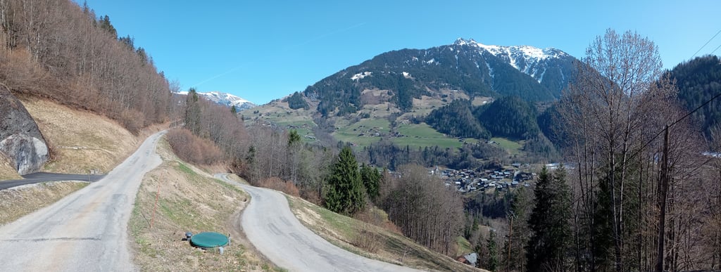
Le Frangna from Beaufort is a climb in the region Savoie. It is 5.4 mi long and bridges 2402 ft of vertical ascent with an average gradient of 8.4%, resulting in a difficulty score of 655. The top of the ascent is located at 4823 ft above sea level. Climbfinder users shared 1 review/story of this climb and uploaded 2 photos.
Road names: Pont de la Glirettaz & Route du Mont
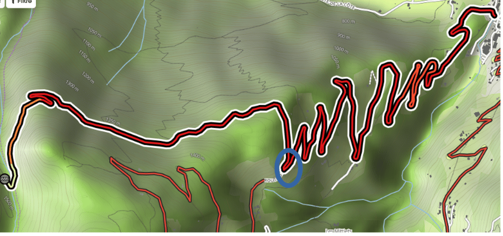
3.0 by sergenavetatThis is an automatic translation, the original language is: French.Made on March 9, 2026, there was still a fair amount of snow at medium altitude, but even without it, access to the last section (almost 3 km) is only possible with a gravel or mountain bike, as it is now just a trail. Visible on the capture by a blue circle, the Bitumen is no longer visible after the last bend on the right. Nevertheless, the climb is a demanding one, with beautiful views of Arrèches, Beaufort and the surrounding mountains. ... read more
Welcome! Please activate your account if you would like to share something. Look for the verification email in your inbox.
If you want to upload your photos, you need to create an account. It only takes 1 minute and it's completely free.
Made on March 9, 2026, there was still a fair amount of snow at medium altitude, but even without it, access to the last section (almost 3 km) is only possible with a gravel or mountain bike, as it is now just a trail.
Visible on the capture by a blue circle, the Bitumen is no longer visible after the last bend on the right.
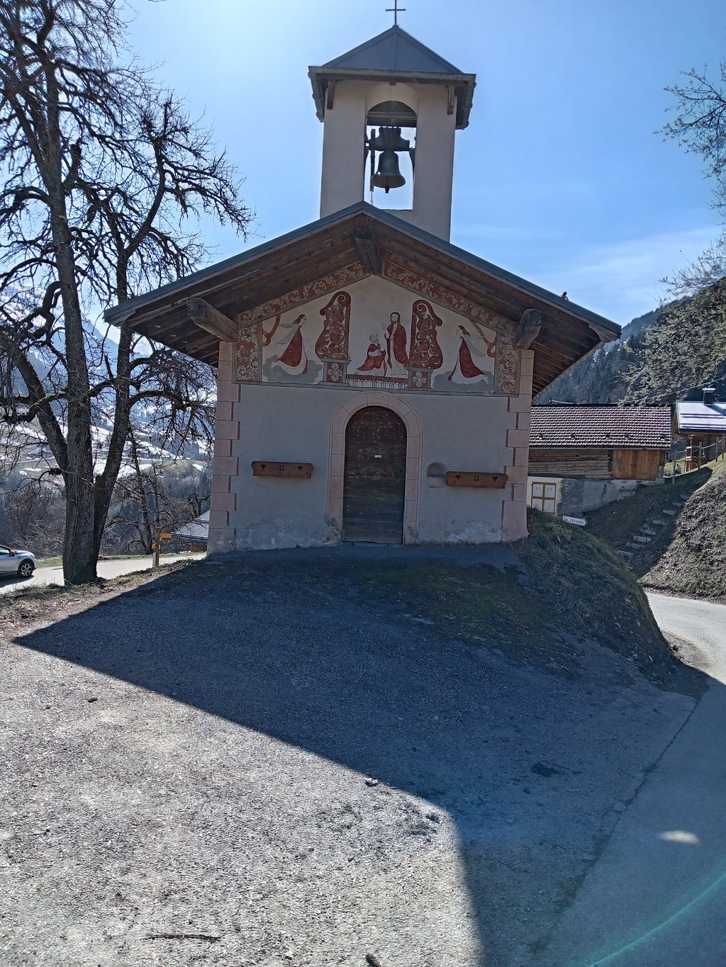
Nevertheless, the climb is a demanding one, with beautiful views of Arrèches, Beaufort and the surrounding mountains.
Fais le 9 mars 2026, il restait encore pas mal de neige en altitude moyenne mais même sans cela l'accès à la dernière partie ( presque 3 km ) n'est possible qu'avec un gravel ou VTT car ce n'est plus qu'un sentier.
Visible sur la capture par un cercle bleu, le Bitume n'est plus après le dernier lacet sur la droite.
Malgré tout l'ascension est exigeante avec des beaux points de vues, sur Arrèches, Beaufort et aussi les montagnes alentours.
Il y a possibilité de descendre coté Arèches.
| 5 mph | 01:05:22 |
| 7 mph | 00:46:17 |
| 9 mph | 00:36:04 |
| 12 mph | 00:27:05 |
This page is better in the app