View on map
© MapLibre | OpenStreetMap contributors
1%
2%
4%
6%
8%
10%
12%
15%
20%

Hoefaertweg via Kanaaldijkstraat

2.3
3 reviews | Elevation profile | 1 photo
Tips nearby
Hoefaertweg via Kanaaldijkstraat
transparant thumb
transparant thumb
transparant thumb
transparant thumb
transparant thumb
transparant thumb
transparant thumb
Your achievable time
Calculating based on your best performances...
Relaxed
Maximum
W/kg
W/kg
W/kg
Analyze your climbing performance
Detailed insight into your climbing performance & automatically check off climbs
Based on your best performances.
Your best attempt:
Number of attempts:
Elevation profile Hoefaertweg via Kanaaldijkstraat

Statistics

Difficulty points 9
Length 1.2 mi
Average gradient 1.9%
Steepest segment 4.5%
Total ascent 121 ft

Short recap

#39 toughest climb of Kempens Plateau
#12 most elevation gain of Kempens Plateau
#54 longest climb of Belgium Limburg
Feedback about this climb?
Show climbs nearby Export to GPS device

Hoefaertweg via Kanaaldijkstraat is a climb in the region Kempens Plateau. It is 1.2 mi long and bridges 121 ft of vertical ascent with an average gradient of 1.9%, resulting in a difficulty score of 9. The top of the ascent is located at 308 ft above sea level. Climbfinder users shared 3 reviews of this climb and uploaded 1 photo.

Road names: Kanaaldijkstraat, Hoefaertweg & Dorpsstraat

This is an automatic translation, the original language is: Dutch.
Short climb that immediately starts a bit firmer towards the bridge, then turns into a long, slight spur up to Gellik.... read more

Photos (1)

Hoefaertweg via Kanaaldijkstraat
transparant thumb
transparant thumb
transparant thumb
transparant thumb
transparant thumb

Your uploads (max 4)

Welcome! Please activate your account if you would like to share something. Look for the verification email in your inbox.

If you want to upload your photos, you need to create an account. It only takes 1 minute and it's completely free.

  • Receive free climbfinder goodies for your reviews & photos.
  • Create a bucket list and check off conquered climbs.
  • Add missing climbs.
Continue with GoogleContinue with Google Continue with FacebookContinue with Facebook Continue with AppleContinue with Apple Sign up with email
By signing up you agree to our terms of service and confirm that you have read our privacy & content policy.

Reviews (3)

5.0
4.0
3.0
2.0
1.0
Piekpionier
4 w 3.0
This is an automatic translation, the original language is: Dutch. Show original

Short climb that immediately starts a bit firmer towards the bridge, then turns into a long, slight spur up to Gellik.

Korte klim die meteen wat steviger inzet richting de brug, waarna het overgaat in een lange, lichte uitloper tot aan Gellik.

Dashboard
BikerJohan
2 Mo 2.0
This is an automatic translation, the original language is: Dutch. Show original

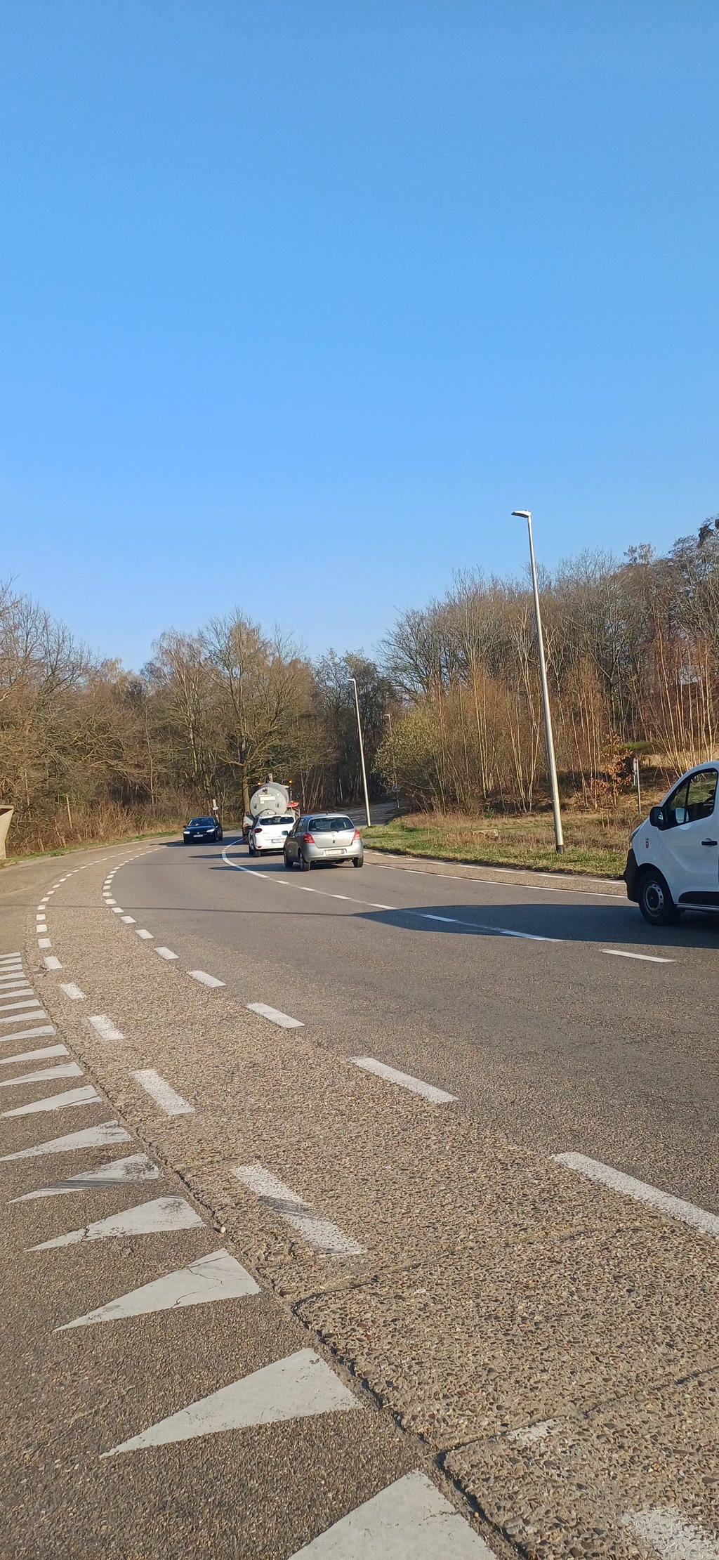
Coming from the northern direction along the canal, the climb starts just after passing the Canal Bar. Up to the bridge the gradient rises briefly but then it is false flat until the top just before entering Gellik.

Als je vanuit noordelijke richting langs het kanaal rijdt begint de klim net na passage van de Kanaalbar. Tot aan de brug loopt het stijgingspercentage even op maar daarna is het tot de top vlak voor het binnenrijden van Gellik vals plat.

Dashboard
JorritPaesen
9 Mo 2.0
This is an automatic translation, the original language is: Dutch. Show original

Road starting at the bottom of the canal, going up to the bridge that crosses the canal. This stretch is also the steepest, once at the bridge there is cycle path false flat up along a larger road

Weg die onder aan het kanaal begint, en omhoog gaat tot de brug die over het kanaal loopt. Dit stuk is ook het steilste, eenmaal aan de brug is er fietspad vals plat omhoog langs een grotere weg

Dashboard

Climbing times

5 mph 00:14:43
7 mph 00:10:25
9 mph 00:08:07
12 mph 00:06:06

Road surface condition

0% 0% 0%
Based on 0 votes
Share your knowledge. What was the road condition during your ascent?

Traffic

0% 0% 0%
Based on 0 votes
Your experience counts. How much traffic did you encounter during the climb?

Frequently Asked Questions

Hoefaertweg can be cycled from 3 sides. Gellik via Dorpsstraat is the most popular side, but the summit can also be reached via Hoefaertweg & Hoefaertweg via Kanaaldijkstraat.

You don't need special gearing for Hoefaertweg via Kanaaldijkstraat. The slope isn't long or steep enough to require much shifting down. You can conquer this climb on power alone. However, a compact gearing system with a smallest front chainring of 34 and largest rear sprocket of 28 or 30 is always nice if you enjoy cycling uphill. This helps maintain a smooth cadence.

Hoefaertweg via Kanaaldijkstraat is not tough enough to be assigned a mountain category. This means that even untrained cyclists can reach the top without any problems on this climb.

Hoefaertweg via Kanaaldijkstraat is 1.2 mi long.

The average gradient of Hoefaertweg via Kanaaldijkstraat is 1.9%.

Hoefaertweg via Kanaaldijkstraat has a steepest segment with an average gradient of 4.5%.

The summit of Hoefaertweg via Kanaaldijkstraat is at 308 ft.

At a slow pace of 5 mph, it takes about 00:14:43 to climb Hoefaertweg via Kanaaldijkstraat. At 7 mph the time is 00:10:25, and at 9 mph 00:08:07. For the fastest cyclists, 00:06:06 is an achievable time.

Hoefaertweg via Kanaaldijkstraat is located in the region Belgium Limburg in Belgium.

This page is better in the app

Climbfinder app
Climbfinder
(Free)
Open